Low Moor
Downs, Moorland in Yorkshire Hambleton
England
Low Moor

Low Moor is a small village located in the metropolitan borough of Bradford, West Yorkshire, England. Situated on the southern edge of the Yorkshire Downs, it is nestled amidst picturesque moorland landscapes. The village is part of the larger Low Moor district, which encompasses nearby towns such as Oakenshaw, Wyke, and Tong.
Known for its scenic beauty and tranquil atmosphere, Low Moor offers stunning views of the surrounding countryside. The area boasts vast expanses of open moorland, characterized by heather-covered hills and rocky outcrops. This rugged terrain attracts nature enthusiasts, hikers, and birdwatchers alike, offering ample opportunities for exploration and outdoor activities.
Despite its rural charm, Low Moor is well-connected to nearby urban centers, making it an attractive residential location. The village benefits from excellent transport links, with easy access to the M62 motorway and nearby train stations. This accessibility has spurred some development in recent years, with the construction of new housing estates and facilities to cater to the growing population.
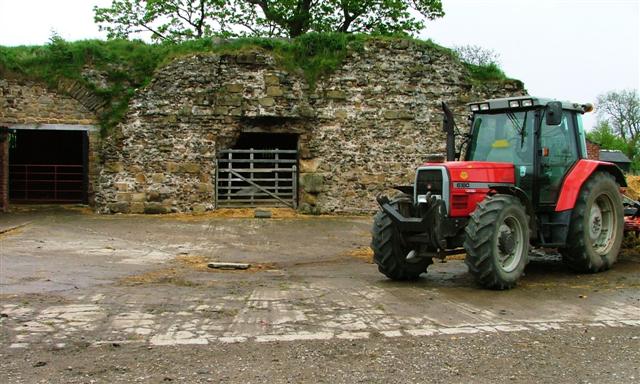
Low Moor also holds historical significance, particularly in relation to the industrial revolution. The village was once a thriving center for coal mining and textile production, playing a vital role in the region's industrial heritage. Today, remnants of this industrial past can still be seen, including some preserved buildings and architectural features.
Overall, Low Moor offers a unique blend of natural beauty, historical significance, and modern convenience. It is a place where residents can enjoy the tranquility of rural life while still being within easy reach of urban amenities.
If you have any feedback on the listing, please let us know in the comments section below.
Low Moor Images
Images are sourced within 2km of 54.375484/-1.3809676 or Grid Reference SE4097. Thanks to Geograph Open Source API. All images are credited.


Low Moor is located at Grid Ref: SE4097 (Lat: 54.375484, Lng: -1.3809676)
Division: North Riding
Administrative County: North Yorkshire
District: Hambleton
Police Authority: North Yorkshire
What 3 Words
///defaults.bolsters.weep. Near Brompton, North Yorkshire
Nearby Locations
Related Wikis
West Harlsey
West Harlsey is a hamlet and civil parish in the Hambleton district of North Yorkshire, England. The population as taken at the 2011 Census was less than...

Winton, North Yorkshire
Winton is a hamlet in the Hambleton district of North Yorkshire, England. Winton House, a farmhouse, to the west of the hamlet is a Grade II listed building...

Winton, Stank and Hallikeld
Winton, Stank and Hallikeld is a civil parish in the Hambleton district of North Yorkshire, England. == References ==
Brompton, west North Yorkshire
Brompton is a village, civil parish and electoral ward in the Hambleton District of North Yorkshire, England, about 1.6 miles (2.6 km) north of the county...
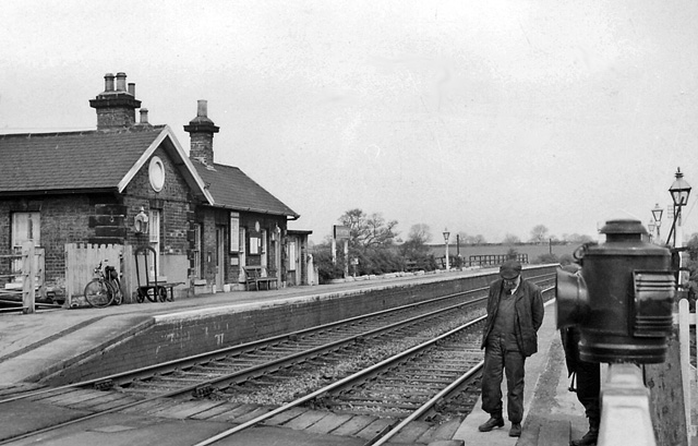
Brompton railway station
Brompton railway station was a railway station that served the community of Brompton, 1 mile (1.6 km) north east of Northallerton in North Yorkshire, England...
East Harlsey
East Harlsey is a village and civil parish in the Hambleton District of North Yorkshire, England. It is about 1 mile (2 km) west of Ingleby Arncliffe and...

Ellerbeck
Ellerbeck is a small village and civil parish in North Yorkshire, England. The population of the parish was estimated at 50 in 2011 and 2011. As the population...

Kirby Sigston Manor
Kirby Sigston Manor is a manor house in the village of Kirby Sigston in North Yorkshire, England. It is listed Grade II on the National Heritage List for...
Nearby Amenities
Located within 500m of 54.375484,-1.3809676Have you been to Low Moor?
Leave your review of Low Moor below (or comments, questions and feedback).