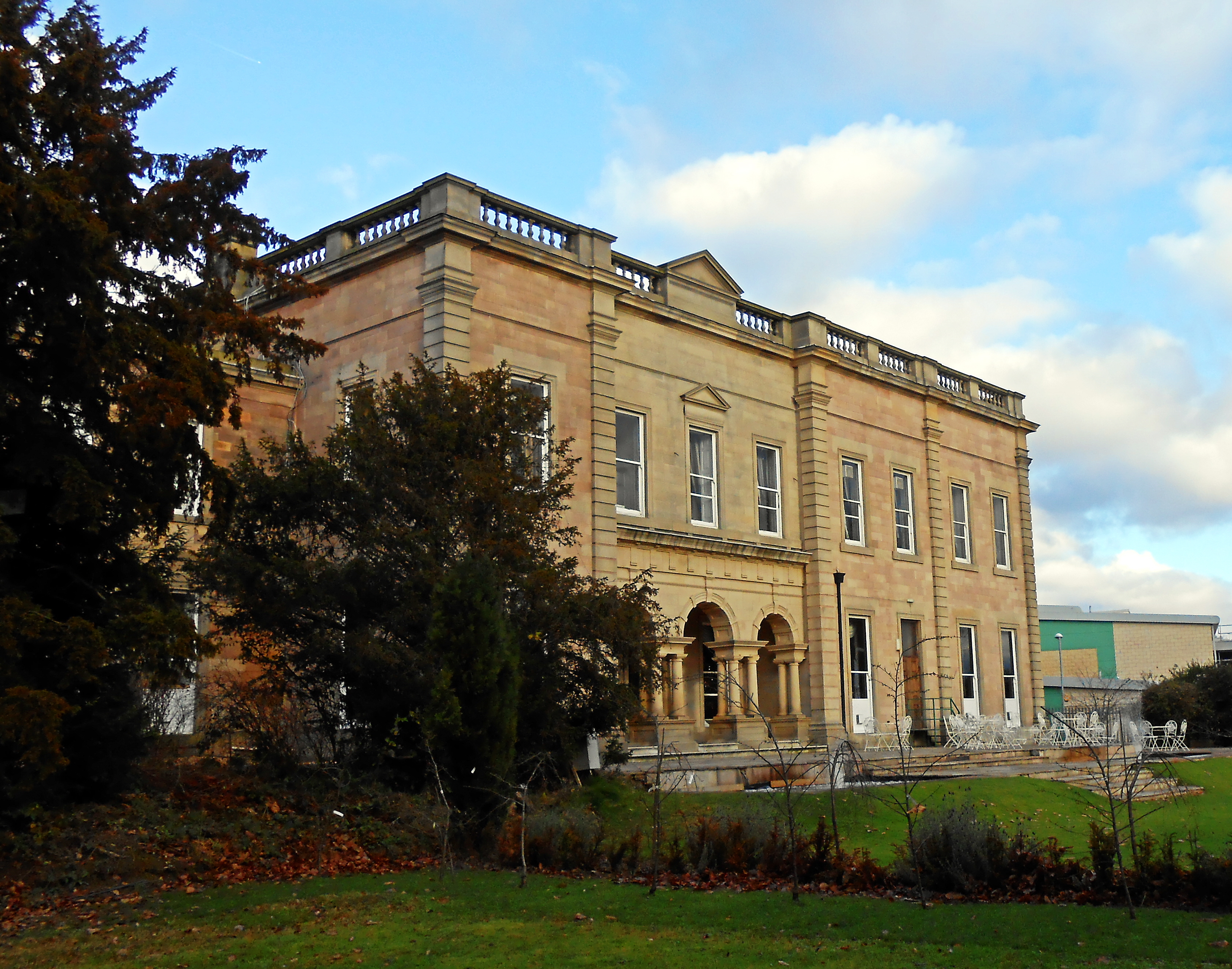
Alfreton Park

Downs, Moorland in Derbyshire Amber Valley

England

Alfreton Park

Tesco superstore in Alfreton A significant presence in the centre of Alfreton. It looks much like any other Tesco.
Tesco superstore in Alfreton Credit: Bill Boaden

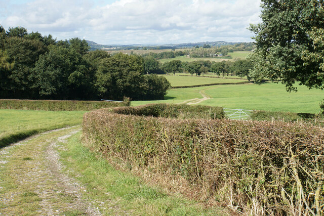
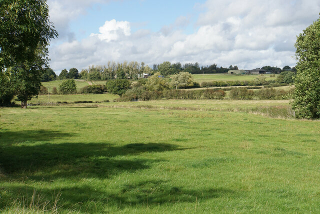
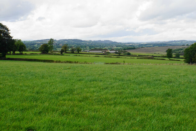
Alfreton Park is a picturesque and expansive green space located in Derbyshire, England. Spanning over 130 acres, it offers a mix of beautiful downs and moorland, making it a popular destination for nature enthusiasts and outdoor activities.

The park is characterized by its rolling hills, open grasslands, and heathland, providing visitors with stunning panoramic views of the surrounding countryside. The downs are covered in a rich tapestry of wildflowers, including buttercups, daisies, and heather, creating a vibrant and colorful landscape during the summer months.

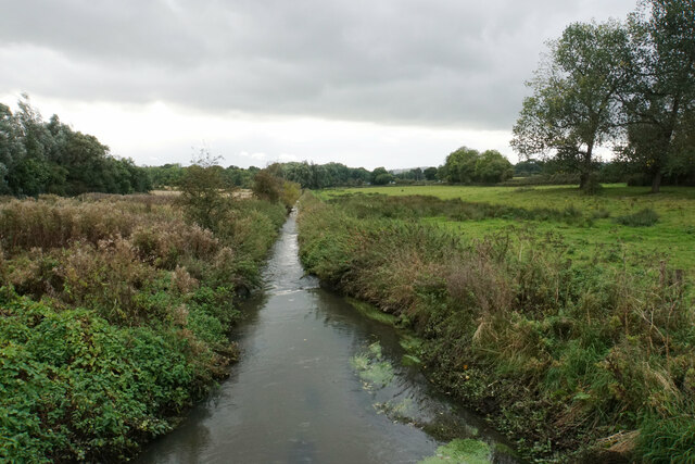
The moorland, on the other hand, is characterized by its rugged terrain, featuring rocky outcrops and heath-covered slopes. It is home to a diverse range of wildlife, including birds such as skylarks, meadow pipits, and kestrels, as well as small mammals like rabbits and voles.

Alfreton Park offers a variety of recreational opportunities for visitors. The wide-open spaces are ideal for picnics, dog walking, and family outings. There are also several walking and cycling trails that wind through the park, allowing visitors to explore its natural beauty at their own pace.

In addition to its natural attractions, the park also features amenities such as a children's play area, sports fields, and a café, providing facilities for both active and leisurely pursuits.

Overall, Alfreton Park is a haven for those seeking a tranquil escape in the heart of Derbyshire. Its combination of downs and moorland, along with its stunning vistas and recreational opportunities, make it a must-visit destination for nature lovers and outdoor enthusiasts.

If you have any feedback on the listing, please let us know in the comments section below.

Alfreton Park Images

Images are sourced within 2km of 53.098913/-1.3996924 or Grid Reference SK4055. Thanks to Geograph Open Source API. All images are credited.

Tesco superstore in Alfreton A significant presence in the centre of Alfreton. It looks much like any other Tesco.
Tesco superstore in Alfreton
A significant presence in the centre of Alfreton. It looks much like any other Tesco.
The Old Market Square The town received a charter to hold a market in 1252, but the only market activity now is in the nearby market hall.
The Old Market Square
The town received a charter to hold a market in 1252, but the only market activity now is in the nearby market hall.
Church Street, Alfreton Leading to St Martin's Church, and on foot to the countryside beyond.
Church Street, Alfreton
Leading to St Martin's Church, and on foot to the countryside beyond.
Path to Shirland The path follows a farm track down to the valley of Alfreton Brook. The hills behind are the higher ground surrounding Ashover.
Path to Shirland
The path follows a farm track down to the valley of Alfreton Brook. The hills behind are the higher ground surrounding Ashover.
Path to Shirland Following a good farm track with a firm base. The ground slopes down towards Alfreton Brook. Some of the land ahead would be affected by the proposals for a new solar farm.
Path to Shirland
Following a good farm track with a firm base. The ground slopes down towards Alfreton Brook. Some of the land ahead would be affected by the proposals for a new solar farm.
Path to Alfreton There is a steady gentle climb to get to St Martin's Church, which is the first part of Alfreton that you reach.
Path to Alfreton
There is a steady gentle climb to get to St Martin's Church, which is the first part of Alfreton that you reach.
Farmland by Alfreton Brook The valley bottom which is designated a flood risk from the brook. Lower Delves Farm is in the trees on the opposite slope.
Farmland by Alfreton Brook
The valley bottom which is designated a flood risk from the brook. Lower Delves Farm is in the trees on the opposite slope.
Farmland north west of Alfreton This view will be severely affected by the proposed solar farm on the farmland.
Farmland north west of Alfreton
This view will be severely affected by the proposed solar farm on the farmland.
Crossroads Tavern A pub towards the eastern end of Alfreton's High Street. It is situated on a crossroads.
Crossroads Tavern
A pub towards the eastern end of Alfreton's High Street. It is situated on a crossroads.
High Street, Alfreton The traffic is not always as busy as this.
High Street, Alfreton
The traffic is not always as busy as this.
Institute Lane, Alfreton Now part of the pedestrianised precinct.
Institute Lane, Alfreton
Now part of the pedestrianised precinct.
Bus station in Alfreton
Alfreton Cemetery
Alfreton Cemetery
Alfreton Cemetery
Alfreton Cemetery
Crane hire depot The western end of Meadow Lane Industrial Estate. You can see the cranes from the surrounding countryside in the valley of Alfreton Brook.
Crane hire depot
The western end of Meadow Lane Industrial Estate. You can see the cranes from the surrounding countryside in the valley of Alfreton Brook.
Alfreton Sewage Treatment Works A necessary facility sited by Alfreton Brook.
Alfreton Sewage Treatment Works
A necessary facility sited by Alfreton Brook.
Alfreton Brook A very straight watercourse which will discharge into the River Amber.
Alfreton Brook
A very straight watercourse which will discharge into the River Amber.
The end of the footpath by the B6025 Until this point, there has been a footway by the road, even if badly maintained and little used, but it fades out altogether here.
The end of the footpath by the B6025
Until this point, there has been a footway by the road, even if badly maintained and little used, but it fades out altogether here.
Show me another place!

Alfreton Park is located at Grid Ref: SK4055 (Lat: 53.098913, Lng: -1.3996924)

Administrative County: Derbyshire

District: Amber Valley

Police Authority: Derbyshire

What 3 Words

///farmer.proud.vase. Near Alfreton, Derbyshire

Nearby Locations

Alfreton Park

Related Wikis

Nearby Amenities

Located within 500m of 53.098913,-1.3996924
Barrier: stile
Lat/Long: 53.099037/-1.393847
Bench
Lat/Long: 53.0984509/-1.3926574
Bench
Ele: 137.1126709
Lat/Long: 53.0990883/-1.3938239
Barrier: stile
Steps: 2
Stile: stepover
Lat/Long: 53.0990031/-1.3942418
Ele: 121
Lat/Long: 53.0978199/-1.4058951
Ele: 121
Lat/Long: 53.0978322/-1.4058042
Ele: 121
Lat/Long: 53.0974471/-1.4056093
Ele: 121
Lat/Long: 53.0977936/-1.4057835
Ele: 119.0000000
Lat/Long: 53.0992325/-1.406341
Ele: 118
Lat/Long: 53.0994884/-1.4066363
Barrier: stile
Ele: 120.0000000
Steps: 2
Stile: stepover
Lat/Long: 53.0996927/-1.406629
Clock
Display: sundial
Support: pedestal
Lat/Long: 53.0985022/-1.3929581
Entrance: main
Lat/Long: 53.0975761/-1.3935133
Entrance: yes
Lat/Long: 53.0979725/-1.394951
Entrance: main
Lat/Long: 53.0974478/-1.3949979
Entrance: main
Lat/Long: 53.0971814/-1.3927906
Information: guidepost
Tourism: information
Lat/Long: 53.0983963/-1.3926181
Direction: SSE
Generator Method: photovoltaic
Generator Output Electricity: yes
Generator Solar Modules: 8
Generator Source: solar
Generator Type: solar_photovoltaic_panel
Location: roof
Power: generator
Lat/Long: 53.0957905/-1.3962444
Fixme: continue
Lat/Long: 53.0967437/-1.3971406
Tourism: picnic_site
Lat/Long: 53.0947235/-1.3978008
Bench
Lat/Long: 53.0984031/-1.392674
Pharmacy
Medicine STOP
Dispensing: yes
Drive Through: no
Healthcare: pharmacy
Wheelchair: yes
Lat/Long: 53.0976662/-1.3932755
The data included in this document is from www.openstreetmap.org. The data is made available under ODbL.

Have you been to Alfreton Park?

Leave your review of Alfreton Park below (or comments, questions and feedback).