Clareton Moor

Downs, Moorland in Yorkshire Harrogate

England

Clareton Moor

A1M at Sand Hill Bridleway running parallel and to the west of the A1M between junctions 47 and 48
A1M at Sand Hill Credit: manonabike

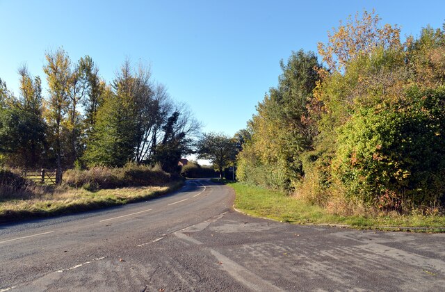
Clareton Moor is a picturesque expanse of moorland located in Yorkshire, England. Situated in the heart of the Yorkshire Dales, it forms part of the region's iconic landscape, characterized by rolling hills, heather-covered moors, and dramatic valleys. With its vast open spaces and rugged terrain, Clareton Moor offers visitors a true sense of wilderness and tranquility.

Covering an area of approximately 500 acres, the moorland is renowned for its breathtaking views and unique biodiversity. The landscape is dominated by vibrant purple heather, which blooms in late summer and creates a stunning spectacle against the backdrop of the Yorkshire Downs. The moorland is also home to a variety of wildlife, including red grouse, curlews, and golden plovers, making it a popular destination for birdwatchers and nature enthusiasts.

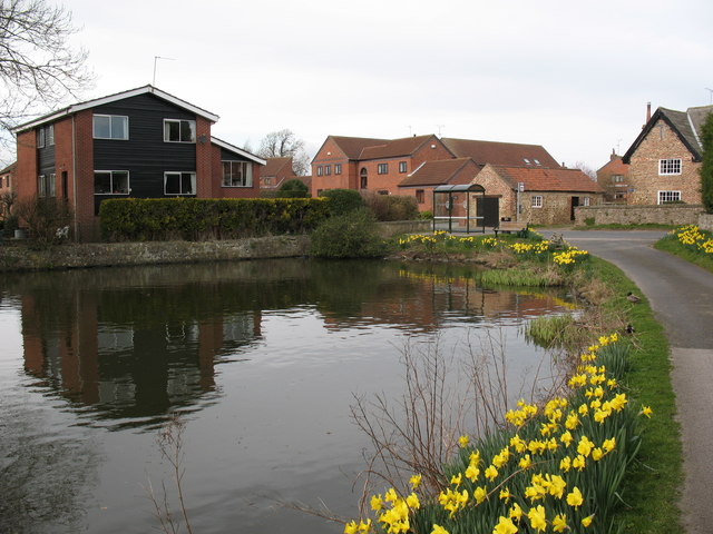
Clareton Moor is crisscrossed by a network of footpaths and trails, allowing visitors to explore its natural beauty on foot or by bike. The moorland is intersected by a meandering river, adding to its charm and providing an opportunity for peaceful walks along its banks. The nearby village of Clareton offers amenities such as cafes and pubs, making it an ideal base for those wishing to explore the area.

Visiting Clareton Moor offers a unique opportunity to experience the untamed beauty of Yorkshire's moorland landscape. Whether it's a leisurely stroll, a challenging hike, or simply a moment of quiet contemplation, this natural gem has something to offer for everyone.

If you have any feedback on the listing, please let us know in the comments section below.

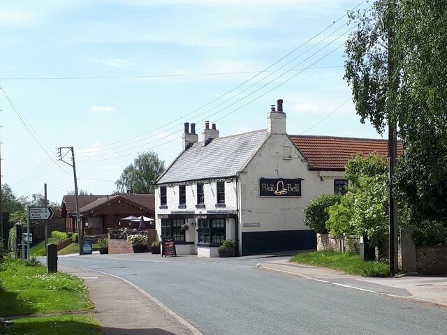
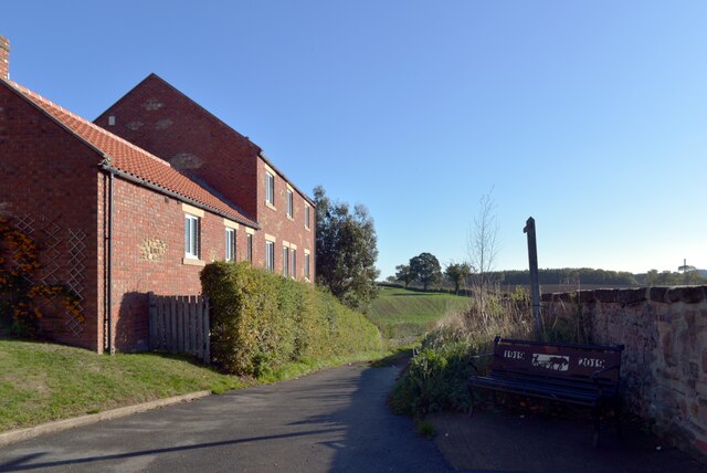
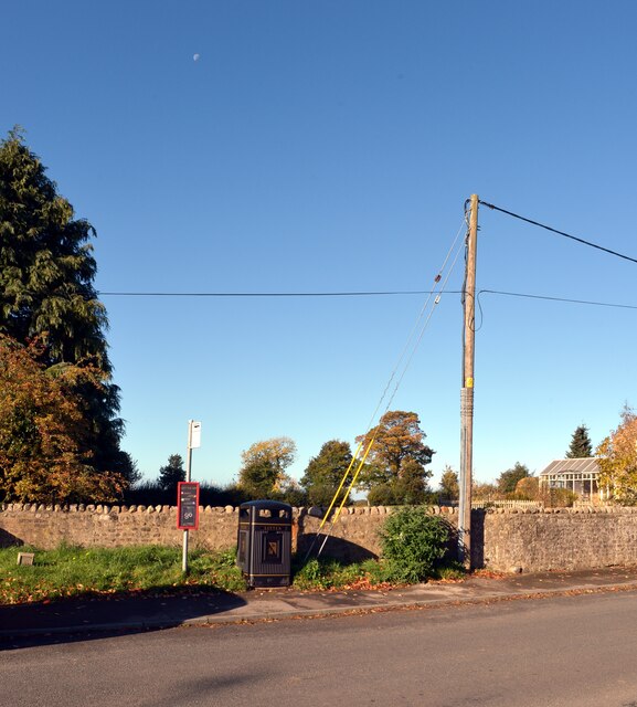
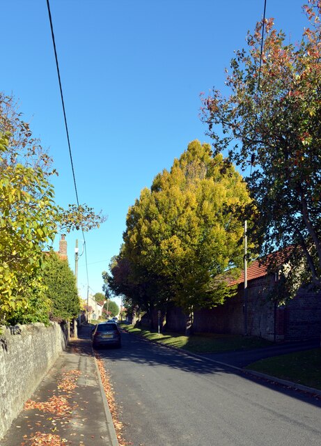
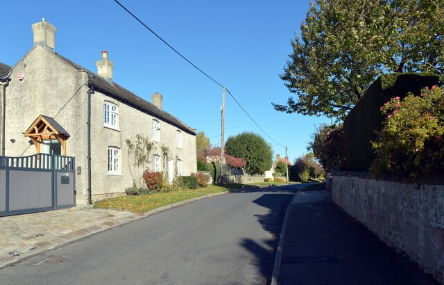
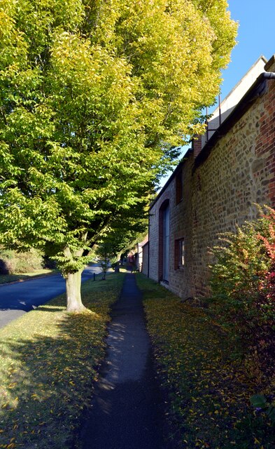
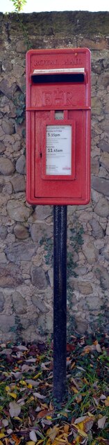
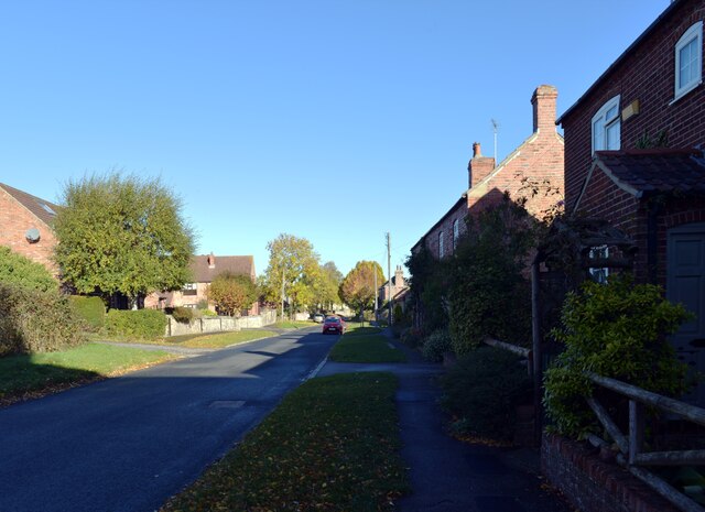
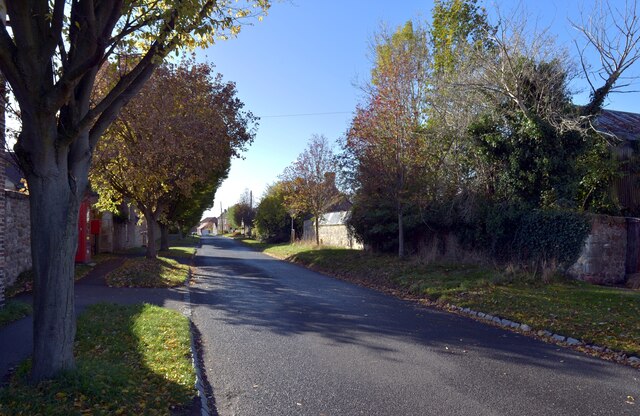
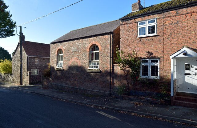
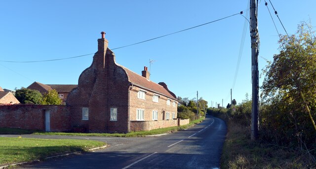
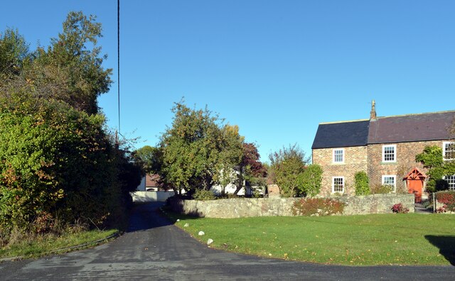
Clareton Moor Images

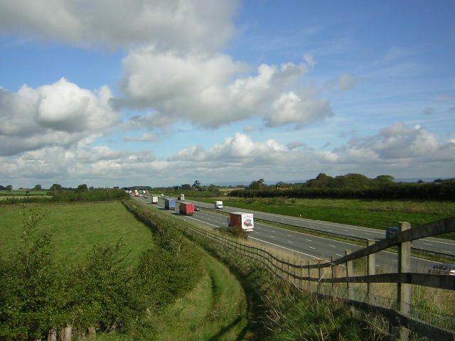
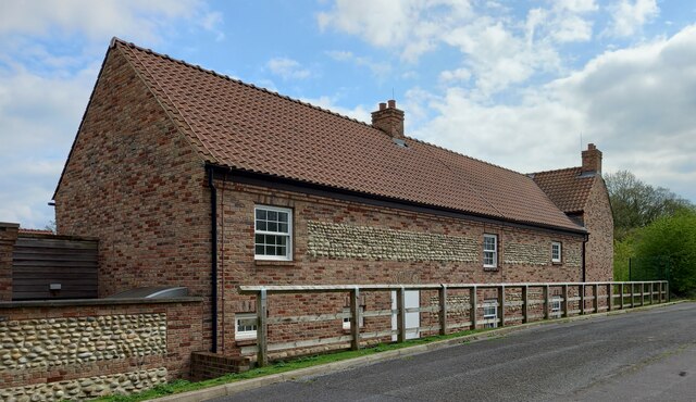
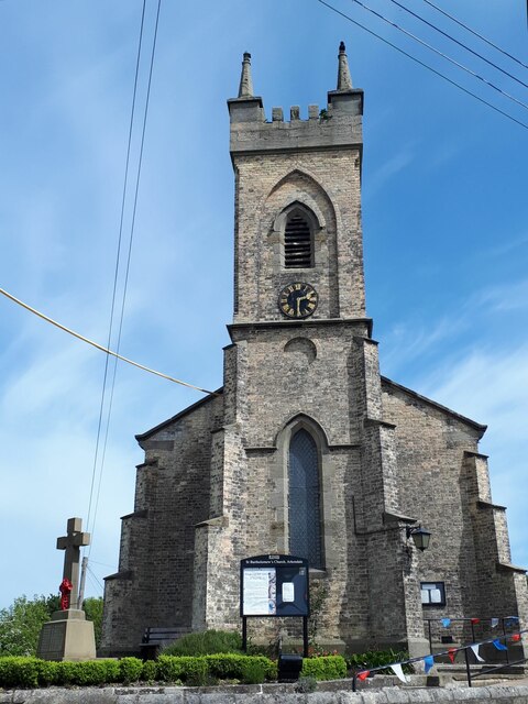
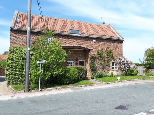
Images are sourced within 2km of 54.028027/-1.4114173 or Grid Reference SE3859. Thanks to Geograph Open Source API. All images are credited.

A1M at Sand Hill Bridleway running parallel and to the west of the A1M between junctions 47 and 48
A1M at Sand Hill
Bridleway running parallel and to the west of the A1M between junctions 47 and 48
Claro House, Coneythorpe on A168 According to the OS benchmark database there was a benchmark cut into the west facing wall of the building. Nothing was found.
Claro House, Coneythorpe on A168
According to the OS benchmark database there was a benchmark cut into the west facing wall of the building. Nothing was found.
St Bartholomew, Arkendale A parish church that stands on a small triangular site at the east end of the village. It dates from the 19th century but is not listed.
St Bartholomew, Arkendale
A parish church that stands on a small triangular site at the east end of the village. It dates from the 19th century but is not listed.
Church barn, Arkendale Although the parish church is not listed, this converted late 18th or early 19th century barn across the road is (grade II, list entry 1150124).
Church barn, Arkendale
Although the parish church is not listed, this converted late 18th or early 19th century barn across the road is (grade II, list entry 1150124).
The Blue Bell, Arkendale A village pub.
The Blue Bell, Arkendale
A village pub.
The track to Hill Bank leaving Moor Lane, Arkendale
Bus stop and litter bin, Moor Lane, Arkendale
Moor Lane, Arkendale
White Lodge, Moor Lane, Arkendale
Moor Lane, Arkendale A close-up of the post box in the distance can be seen in <a href="https://www.geograph.org.uk/photo/7317084">SE3860 : Post box, Moor Lane, Arkendale</a>.
Moor Lane, Arkendale
A close-up of the post box in the distance can be seen in SE3860 : Post box, Moor Lane, Arkendale.
Post box, Moor Lane, Arkendale This post box can be seen in context in <a href="https://www.geograph.org.uk/photo/7317081">SE3860 : Moor Lane, Arkendale</a> and <a href="https://www.geograph.org.uk/photo/7317088">SE3860 : Moor Lane, Arkendale</a>.
Post box, Moor Lane, Arkendale
This post box can be seen in context in SE3860 : Moor Lane, Arkendale and SE3860 : Moor Lane, Arkendale.
Moor Lane, Arkendale
Moor Lane, Arkendale A close-up of the post box can be seen in <a href="https://www.geograph.org.uk/photo/7317084">SE3860 : Post box, Moor Lane, Arkendale</a>.
Moor Lane, Arkendale
A close-up of the post box can be seen in SE3860 : Post box, Moor Lane, Arkendale.
The Old Primitive Methodist Chapel, Moor Lane, Arkendale
Long Cottage, Reins, Arkendale
Marhead Balk, Arkendale
Moor Lane, Arkendale
Entering Arkendale, North Yorkshire
Show me another place!

Clareton Moor is located at Grid Ref: SE3859 (Lat: 54.028027, Lng: -1.4114173)

Division: West Riding

Administrative County: North Yorkshire

District: Harrogate

Police Authority: North Yorkshire

What 3 Words

///momentous.kept.attending. Near Knaresborough, North Yorkshire

Nearby Locations

Clareton Moor

Related Wikis

Ferrensby

Ferrensby is a village and civil parish in the Harrogate district of North Yorkshire, England. The population of the civil parish at the 2011 census was...

Flaxby

Flaxby is a village and civil parish in the Harrogate district of North Yorkshire, England. It is close to the A1(M) motorway and 2 miles (3.2 km) east...

Arkendale

Arkendale is a village and civil parish in the Harrogate district of North Yorkshire, England. It is 6 miles (10 km) north-east of Harrogate town, and...

Allerton waste recovery park

Allerton waste recovery park is a waste recovery and incineration site located on a former quarry at Allerton Mauleverer, near Knaresborough, England....

Nearby Amenities

Located within 500m of 54.028027,-1.4114173
Power: pole
Lat/Long: 54.0321996/-1.4142305
Power: pole
Lat/Long: 54.0318827/-1.4130078
Power: pole
Lat/Long: 54.0315236/-1.4116207
Line Management: termination
Location Transition: yes
Power: pole
Lat/Long: 54.0311514/-1.4102093
Power: pole
Lat/Long: 54.0311578/-1.4102732
Power: pole
Lat/Long: 54.0323538/-1.4124969
Power: pole
Lat/Long: 54.0319012/-1.4111362
Line Management: termination
Location Transition: yes
Power: pole
Lat/Long: 54.0314592/-1.4098125
Power: pole
Lat/Long: 54.0287073/-1.4178916
Power: pole
Lat/Long: 54.0283376/-1.4168193
Material: wood
Power: pole
Lat/Long: 54.0274256/-1.4147508
Material: wood
Power: pole
Lat/Long: 54.0272419/-1.416076
Material: wood
Power: pole
Lat/Long: 54.0265465/-1.4167491
Material: wood
Power: pole
Lat/Long: 54.0276055/-1.4134585
Material: wood
Power: pole
Lat/Long: 54.0277899/-1.412103
Material: wood
Power: pole
Lat/Long: 54.0279778/-1.4107835
Material: wood
Power: pole
Lat/Long: 54.0281446/-1.409544
Line Management: termination
Location Transition: yes
Material: wood
Power: tower
Transformer: distribution
Lat/Long: 54.0283019/-1.4083665
Power: pole
Lat/Long: 54.0288917/-1.415586
Power: pole
Lat/Long: 54.029393/-1.4144251
Power: pole
Lat/Long: 54.029922/-1.4132217
Power: pole
Lat/Long: 54.0304262/-1.4120811
Material: wood
Power: pole
Lat/Long: 54.0257883/-1.4174589
The data included in this document is from www.openstreetmap.org. The data is made available under ODbL.

Have you been to Clareton Moor?

Leave your review of Clareton Moor below (or comments, questions and feedback).