Barn Braes
Downs, Moorland in Shetland
Scotland
Barn Braes
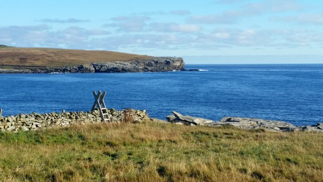
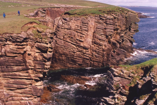
Barn Braes, located in Shetland, is a picturesque area known for its diverse natural landscapes, including downs and moorland. Situated in the northernmost part of Scotland, Shetland is an archipelago known for its stunning scenery and unique wildlife.
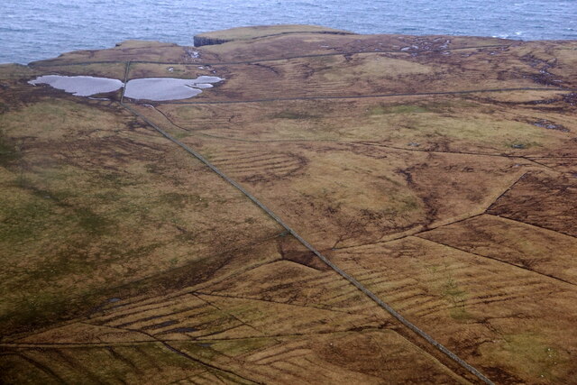
Barn Braes encompasses a vast expanse of open grasslands and heath, offering visitors a serene and untouched setting to explore. The downs of Barn Braes are characterized by their gently rolling hills, covered in lush green grasses and scattered with wildflowers. This area is often a popular spot for walkers, hikers, and nature enthusiasts who enjoy the peaceful and tranquil surroundings.
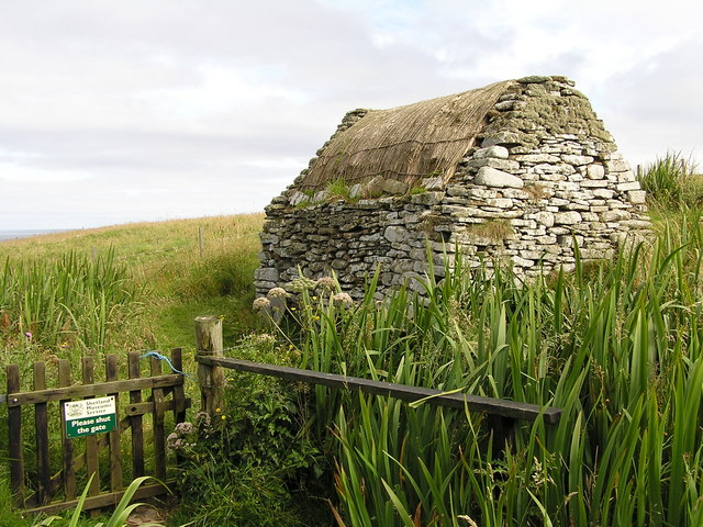
In contrast to the downs, the moorland of Barn Braes presents a more rugged and untamed landscape. Moorlands are characterized by their wet and boggy terrain, dotted with heather and shrubs. This type of habitat provides a haven for a wide range of bird species, including the iconic Shetland ponies, which can often be seen grazing on the moors.
Barn Braes offers visitors a chance to immerse themselves in the unique natural beauty of Shetland. The area is known for its rich biodiversity, with various plant and animal species calling it home. Visitors can enjoy leisurely walks, birdwatching, or simply take in the breathtaking views of the surrounding landscape.
Overall, Barn Braes in Shetland is a haven for nature lovers and outdoor enthusiasts, offering a diverse range of landscapes to explore and admire.
If you have any feedback on the listing, please let us know in the comments section below.
Barn Braes Images
Images are sourced within 2km of 59.910664/-1.3106998 or Grid Reference HU3814. Thanks to Geograph Open Source API. All images are credited.


Barn Braes is located at Grid Ref: HU3814 (Lat: 59.910664, Lng: -1.3106998)
Unitary Authority: Shetland Islands
Police Authority: Highlands and Islands
What 3 Words
///decisions.commuting.icebergs. Near Sumburgh, Shetland Islands
Nearby Locations
Related Wikis

Boddam, Shetland
Boddam is a village on the island of Mainland, in Shetland, Scotland. Boddam is an area of Dunrossness in the South Mainland of Shetland. Although Boddam...

Exnaboe
Exnaboe, locally referred to as 'bö', is a settlement in the Virkie area of the parish of Dunrossness, South Mainland, Shetland, Scotland, overlooking...

Toab, Shetland
Toab is the southernmost village on Mainland, Shetland, Scotland. It is part of Virkie and overlooks Sumburgh Airport. Toab is within the parish of Dunrossness...

Lochs of Spiggie and Brow
The Lochs of Spiggie and Brow are located west of Boddam in the parish of Dunrossness, in the South Mainland of Shetland, Scotland, about 6 km north of...
Related Videos

QUENDALE MILL,SOUTH MAINLAND,SHETLAND-2017
Quendalemill #Southmainland #Shetland Traveling Shetland The Quendale Estate dates back to the 16th Century but it wasn't ...
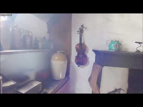
Shetland Crofthouse Museum
Visit on the 20th May to this Museum on Shetland's main island.
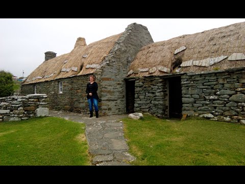
SHETLAND CROFT HOUSE MUSEUM,SHETLAND-2017
Shetlandcrofthousemuseum #Shetland Traveling Shetland The Shetland Crofthouse Museum is operated by Shetland Museum ...
Nearby Amenities
Located within 500m of 59.910664,-1.3106998Have you been to Barn Braes?
Leave your review of Barn Braes below (or comments, questions and feedback).