Hatton

Settlement in Warwickshire Warwick

England

Hatton

Grand Union Canal from Hatton top lock (No. 46) The café is on the right.
Grand Union Canal from Hatton top lock (No. 46) Credit: Chris Allen

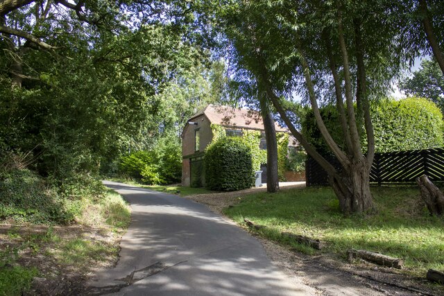
Hatton is a small village located in the county of Warwickshire, England. Situated approximately 6 miles southeast of Warwick, Hatton is nestled in the picturesque Avon Valley, providing residents and visitors with stunning views of the surrounding countryside. The village is home to a population of around 1,000 people and boasts a rich history that dates back to medieval times.

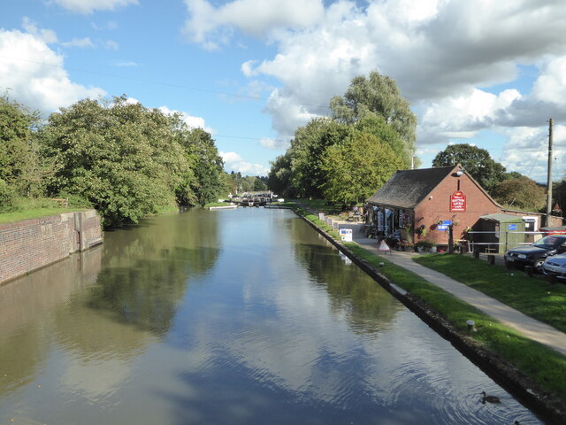
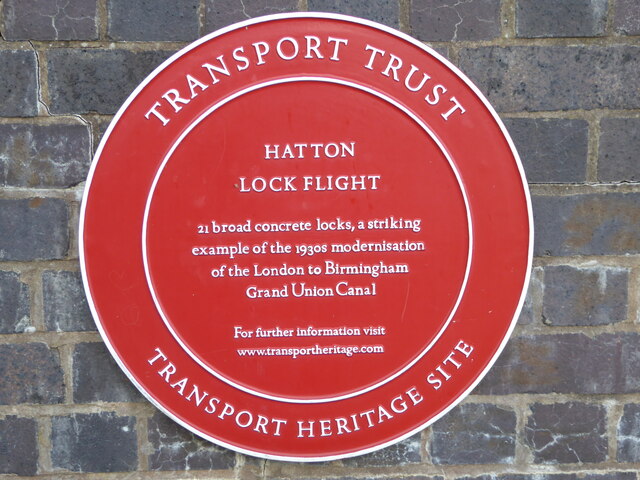
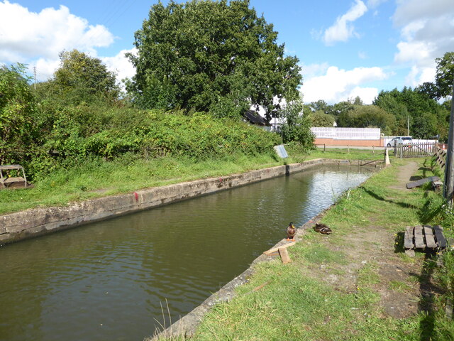
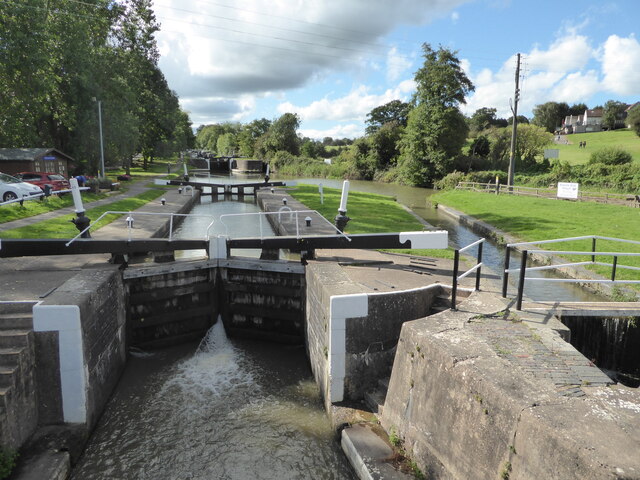
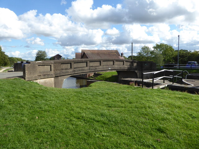
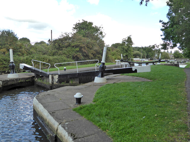
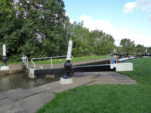
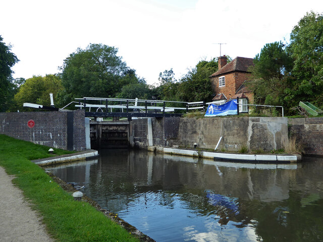
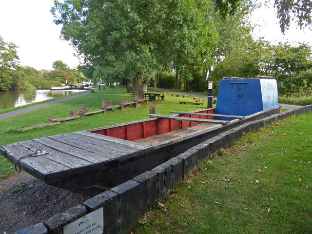
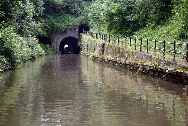
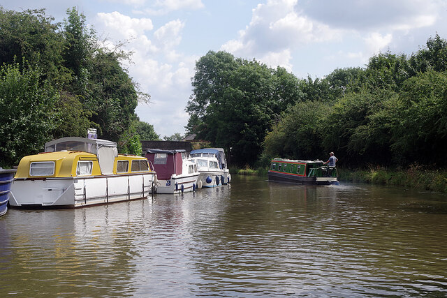
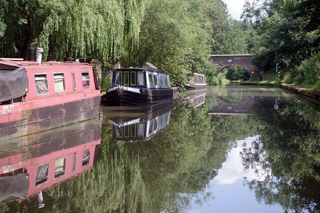
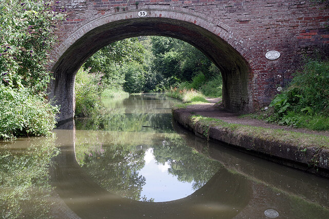
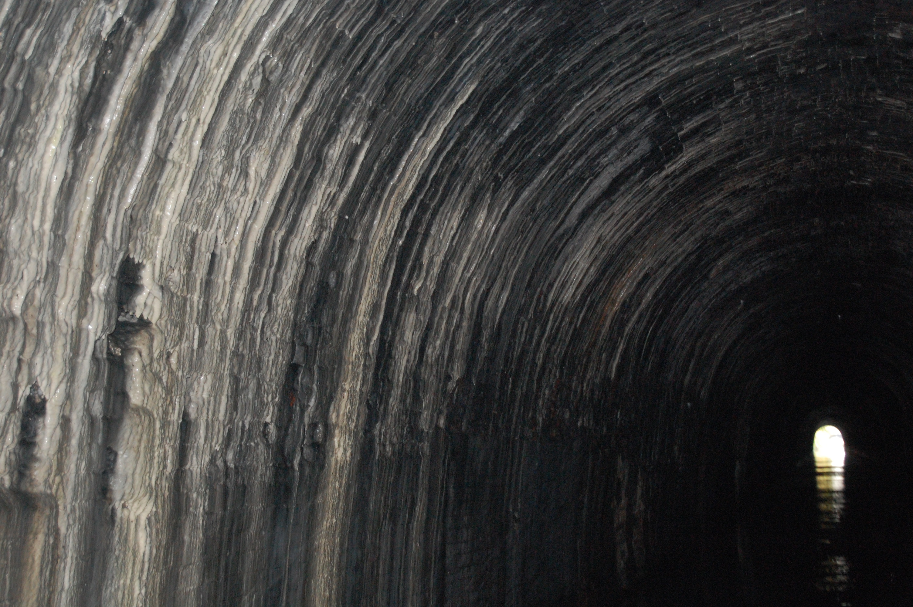
One of Hatton's most prominent landmarks is Hatton Locks, a flight of 21 locks on the Grand Union Canal. This popular tourist attraction attracts canal enthusiasts who come to witness the impressive engineering feat and enjoy walks along the towpath. The locks also offer scenic picnic spots and charming narrowboats passing by.

In addition to its canal heritage, Hatton is renowned for Hatton Country World. This family-friendly attraction is set on a working farm and offers a wide range of activities for all ages, including a shopping village, farmyard animals, outdoor adventure play areas, and seasonal events.

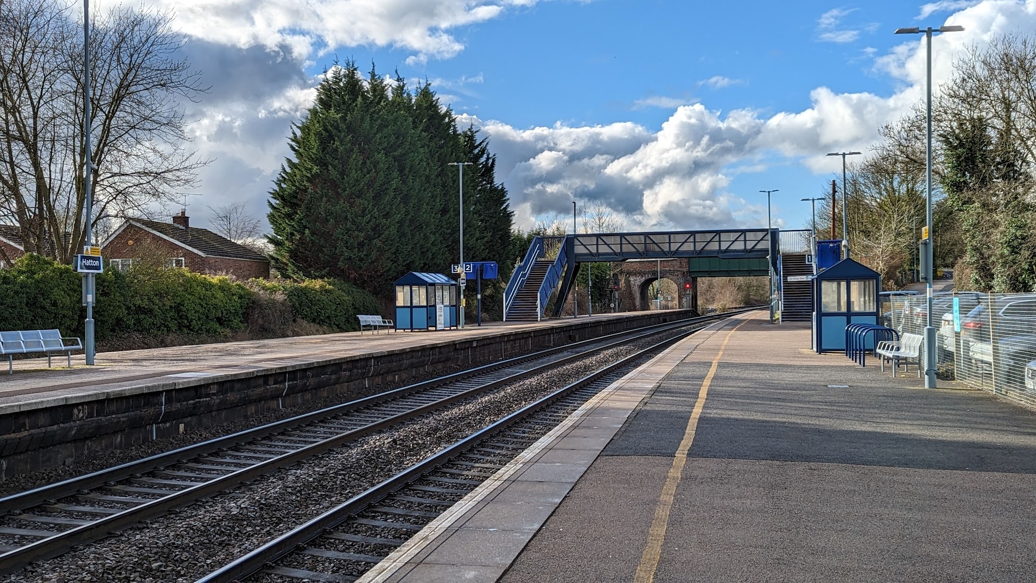
The village itself features a range of amenities, including a primary school, village hall, church, and several pubs and restaurants. Hatton also benefits from good transport links, with easy access to the nearby towns of Warwick and Leamington Spa, as well as the M40 motorway.

With its idyllic countryside setting, rich history, and range of attractions, Hatton provides a charming escape from the hustle and bustle of city life while offering a close-knit community and a quality rural lifestyle.

If you have any feedback on the listing, please let us know in the comments section below.
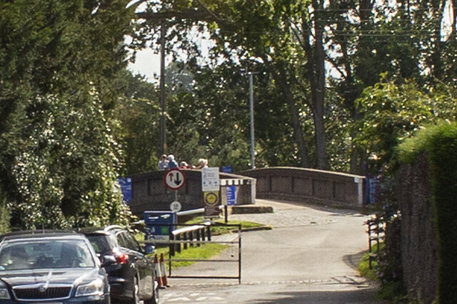
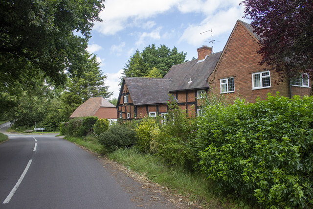
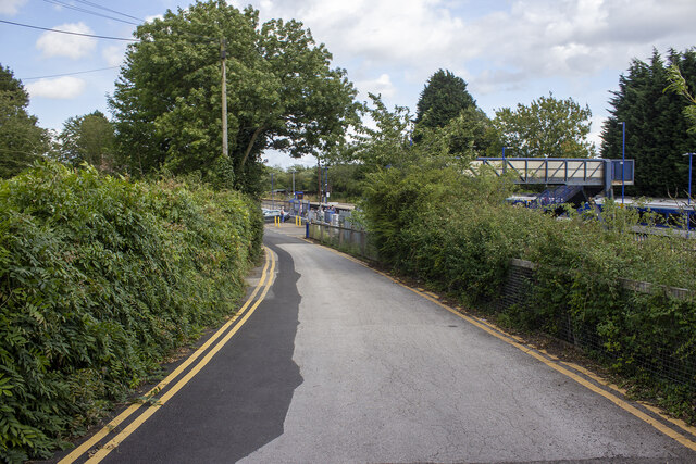
Hatton Images

Images are sourced within 2km of 52.294262/-1.6736571 or Grid Reference SP2266. Thanks to Geograph Open Source API. All images are credited.

Grand Union Canal from Hatton top lock (No. 46) The café is on the right.
Grand Union Canal from Hatton top lock (No. 46)
The café is on the right.
Grand Union Canal - plaque The Transport Trust has placed a commemorative plaque on the top lock (No. 46) of the Hatton flight near Warwick.
Grand Union Canal - plaque
The Transport Trust has placed a commemorative plaque on the top lock (No. 46) of the Hatton flight near Warwick.
Grand Union Canal - dry dock Although this is by Hatton locks this is billed as Knowle Hill Wharf Dry Dock
Grand Union Canal - dry dock
Although this is by Hatton locks this is billed as Knowle Hill Wharf Dry Dock
Grand Union Canal - Hatton locks Lock No. 43 seen from the bridge leading to the maintenance yard and lock offices. In the right background is a dry dock. The footbridge on the right crosses a former narrow lock.
Grand Union Canal - Hatton locks
Lock No. 43 seen from the bridge leading to the maintenance yard and lock offices. In the right background is a dry dock. The footbridge on the right crosses a former narrow lock.
Grand Union Canal - bridge No. 54 A concrete bridge crossing the Hatton flight of 21 broad locks. The locks were widened in concrete in the 1930s and this bridge may date to the remodelling in the 1930s.
Grand Union Canal - bridge No. 54
A concrete bridge crossing the Hatton flight of 21 broad locks. The locks were widened in concrete in the 1930s and this bridge may date to the remodelling in the 1930s.
Grand Union Canal - lock No. 44 Part of the Hatton flight of 21 locks.
Grand Union Canal - lock No. 44
Part of the Hatton flight of 21 locks.
Grand Union Canal - lock No. 45 One of 21 broad locks on the Hatton flight.
Grand Union Canal - lock No. 45
One of 21 broad locks on the Hatton flight.
Grand Union Canal - lock No. 46 This is the top lock of the Hatton flight of 21 broad locks. The remains of the replaced narrow lock are to the right. The red plaque is a Transport Trust heritage marker.
Grand Union Canal - lock No. 46
This is the top lock of the Hatton flight of 21 broad locks. The remains of the replaced narrow lock are to the right. The red plaque is a Transport Trust heritage marker.
Former work boat alongside the Grand Union Canal Alongside the Hatton flight of locks between locks Nos. 44 and 45. No. 44 is seen in the background. This originally carried a piling rig operated by a diesel engine and was used for bank maintenance by British Waterway Board. The wooden planks alongside represent the type of piled bank it was used to construct and maintain.
Former work boat alongside the Grand Union Canal
Alongside the Hatton flight of locks between locks Nos. 44 and 45. No. 44 is seen in the background. This originally carried a piling rig operated by a diesel engine and was used for bank maintenance by British Waterway Board. The wooden planks alongside represent the type of piled bank it was used to construct and maintain.
Bridge at Hatton Locks Over the Grand Union Canal.
Bridge at Hatton Locks
Over the Grand Union Canal.
Shrewley Tunnel At 433 yards, Shrewley Tunnel is by no means the longest on the Grand Union Canal but it is the last one for boats heading towards Birmingham. This is the north-west portal, looking towards Hatton with a boat visible inside.
Shrewley Tunnel
At 433 yards, Shrewley Tunnel is by no means the longest on the Grand Union Canal but it is the last one for boats heading towards Birmingham. This is the north-west portal, looking towards Hatton with a boat visible inside.
Grand Union Canal, Hatton A narrowboat heads towards bridge 56 on the approach towards Hatton Locks.
Grand Union Canal, Hatton
A narrowboat heads towards bridge 56 on the approach towards Hatton Locks.
Grand Union Canal, Hatton Green Ahead is no 55, St John's Bridge, the last before boaters face the marathon of Hatton Locks.
Grand Union Canal, Hatton Green
Ahead is no 55, St John's Bridge, the last before boaters face the marathon of Hatton Locks.
St John's Bridge, Grand Union Canal Everything looks peaceful in this scene at bridge 55 but about half a mile ahead is the top of Hatton's 21 Locks which take the canal down to Warwick.
St John's Bridge, Grand Union Canal
Everything looks peaceful in this scene at bridge 55 but about half a mile ahead is the top of Hatton's 21 Locks which take the canal down to Warwick.
Canal bridge
Canal bridge
Station Road
Station Road
Hatton Station
Hatton Station
Pinley Hill Farm Converted vernacular farm building at Pinley Hill Farm
Pinley Hill Farm
Converted vernacular farm building at Pinley Hill Farm
Show me another place!

Hatton is located at Grid Ref: SP2266 (Lat: 52.294262, Lng: -1.6736571)

Administrative County: Warwickshire

District: Warwick

Police Authority: Warwickshire

What 3 Words

///energy.surveyors.slap. Near Hatton, Warwickshire

Nearby Locations

Hatton

Related Wikis

Nearby Amenities

Located within 500m of 52.294262,-1.6736571
Hatton
Addr City: Hatton
Addr Postcode: CV35 7LE
Addr Street: Station Road
Naptan AtcoCode: 9100HATTON
Network: National Rail
Network Website: https://www.nationalrail.co.uk/stations/htn/
Network Wikidata: Q26334
Old Name: Hatton Junction
Public Transport: station
Railway: station
Ref Crs: HTN
Wikidata: Q13528205
Wikipedia: en:Hatton railway station (England)
Lat/Long: 52.2952126/-1.6729068
Operator: Network Rail
Railway: switch
Lat/Long: 52.2928022/-1.679931
Operator: Network Rail
Railway: switch
Lat/Long: 52.2953633/-1.6680827
Bus Stop
Hatton Railway Station
Bus: yes
Naptan AtcoCode: 4200F086300
Naptan Bearing: N
Naptan CommonName: Hatton Railway Station
Naptan Indicator: Adj
Naptan Landmark: Hatton Railway Station
Naptan NaptanCode: waradmwa
Naptan Street: Station Road
Naptan Verified: no
Public Transport: platform
Source: naptan_import
Lat/Long: 52.2949249/-1.6742743
Operator: Network Rail
Railway: switch
Lat/Long: 52.2952684/-1.6746063
Operator: Network Rail
Railway: switch
Lat/Long: 52.2951166/-1.6702217
Operator: Network Rail
Railway: switch
Lat/Long: 52.2951366/-1.6698789
Operator: Network Rail
Railway: switch
Lat/Long: 52.2952371/-1.6690412
Operator: Network Rail
Railway: switch
Lat/Long: 52.2952687/-1.6686671
Operator: Network Rail
Railway: switch
Lat/Long: 52.2951924/-1.6690099
Public Transport: stop_position
Railway: stop
Train: yes
Lat/Long: 52.2951829/-1.6729119
Operator: Network Rail
Railway: switch
Lat/Long: 52.2954871/-1.6758916
Operator: Network Rail
Railway: switch
Lat/Long: 52.2951439/-1.6710183
Operator: Network Rail
Railway: switch
Lat/Long: 52.2952412/-1.6758465
Post Box
Collection Times: Mo-Fr 15:15; Sa 08:30
Operator: Royal Mail
Operator Wikidata: Q638098
Post Box Type: lamp
Ref: CV35 130
Royal Cypher: EIIR
Royal Cypher Wikidata: Q33102113
Source: survey
Lat/Long: 52.2940581/-1.6733021
Public Bookcase
Booth: K6
Colour: red
Covered: booth
Disused Amenity: telephone
Man Made: telephone_box
Note: now a library
Public Bookcase Type: phone_box
Source: survey
Lat/Long: 52.2942935/-1.6735097
Operator: Network Rail
Railway: signal
Ref: LJ 7453
Source: visual survey
Lat/Long: 52.2951727/-1.674082
Hatton West Junction
Railway: junction
Lat/Long: 52.2927989/-1.6799064
Hatton Station Junction
Railway: junction
Lat/Long: 52.2953474/-1.6750138
Operator: Network Rail
Railway: signal
Ref: LJ 3275
Lat/Long: 52.2952441/-1.6740658
Operator: Network Rail
Railway: signal
Ref: LJ 7450
Lat/Long: 52.295093/-1.6717877
Operator: Network Rail
Railway: signal
Ref: LJ 3272
Lat/Long: 52.2952033/-1.6719375
Operator: Network Rail
Railway: signal
Lat/Long: 52.2953775/-1.6746283
Material: wood
Operator: National Grid Electricity Distribution
Operator Wikidata: Q7988183
Power: pole
Source: bing
Lat/Long: 52.2904005/-1.67374
Material: wood
Operator: National Grid Electricity Distribution
Operator Wikidata: Q7988183
Power: pole
Source: bing
Lat/Long: 52.2904546/-1.674538
Material: wood
Operator: National Grid Electricity Distribution
Operator Wikidata: Q7988183
Power: pole
Source: bing
Lat/Long: 52.2902848/-1.6759112
Material: wood
Operator: National Grid Electricity Distribution
Operator Wikidata: Q7988183
Power: pole
Source: bing
Lat/Long: 52.294943/-1.6755719
Material: wood
Operator: National Grid Electricity Distribution
Operator Wikidata: Q7988183
Power: pole
Source: bing
Lat/Long: 52.2942139/-1.6754365
Material: wood
Operator: National Grid Electricity Distribution
Operator Wikidata: Q7988183
Power: pole
Source: bing
Lat/Long: 52.2935839/-1.6753091
Material: wood
Operator: National Grid Electricity Distribution
Operator Wikidata: Q7988183
Power: pole
Source: bing
Lat/Long: 52.2929999/-1.6751991
Material: wood
Operator: National Grid Electricity Distribution
Operator Wikidata: Q7988183
Power: pole
Source: bing
Lat/Long: 52.2923183/-1.6750529
Material: wood
Operator: National Grid Electricity Distribution
Operator Wikidata: Q7988183
Power: pole
Source: bing
Lat/Long: 52.2918171/-1.6749644
The data included in this document is from www.openstreetmap.org. The data is made available under ODbL.

Have you been to Hatton?

Leave your review of Hatton below (or comments, questions and feedback).