North Park
Downs, Moorland in Berkshire Vale of White Horse
England
North Park

North Park, Berkshire is a picturesque region located in the southern part of England. It is dominated by its stunning landscapes, including downs and moorland.
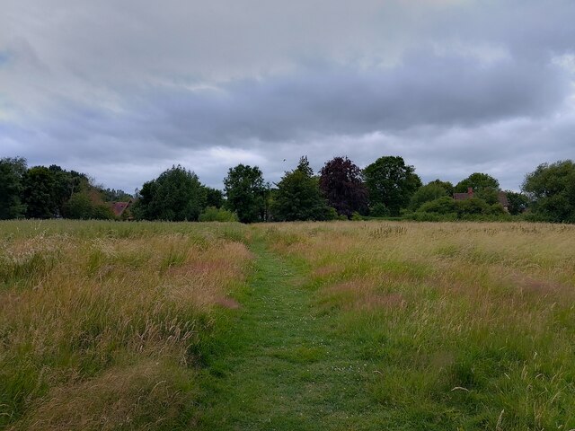
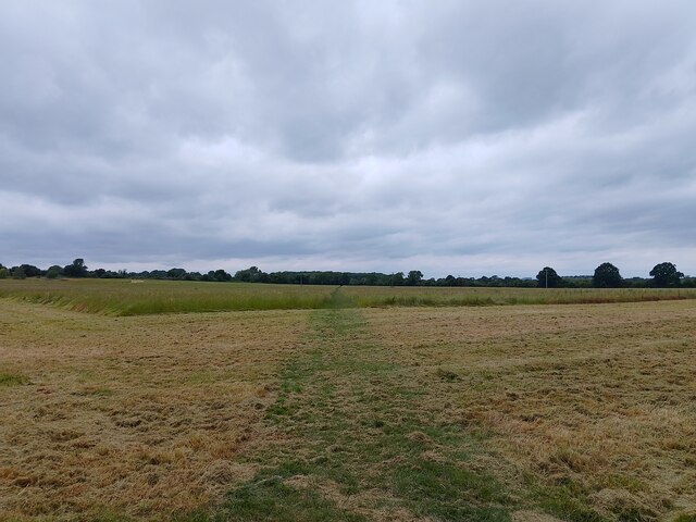
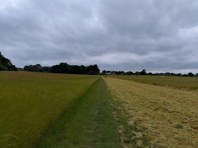
The downs in North Park are rolling hills covered in lush greenery, offering breathtaking panoramic views of the surrounding countryside. These hills are perfect for hiking and walking enthusiasts, who can explore the numerous trails that wind through the area. The downs are also home to a variety of wildlife, including rabbits, foxes, and various bird species, making it a haven for nature lovers.
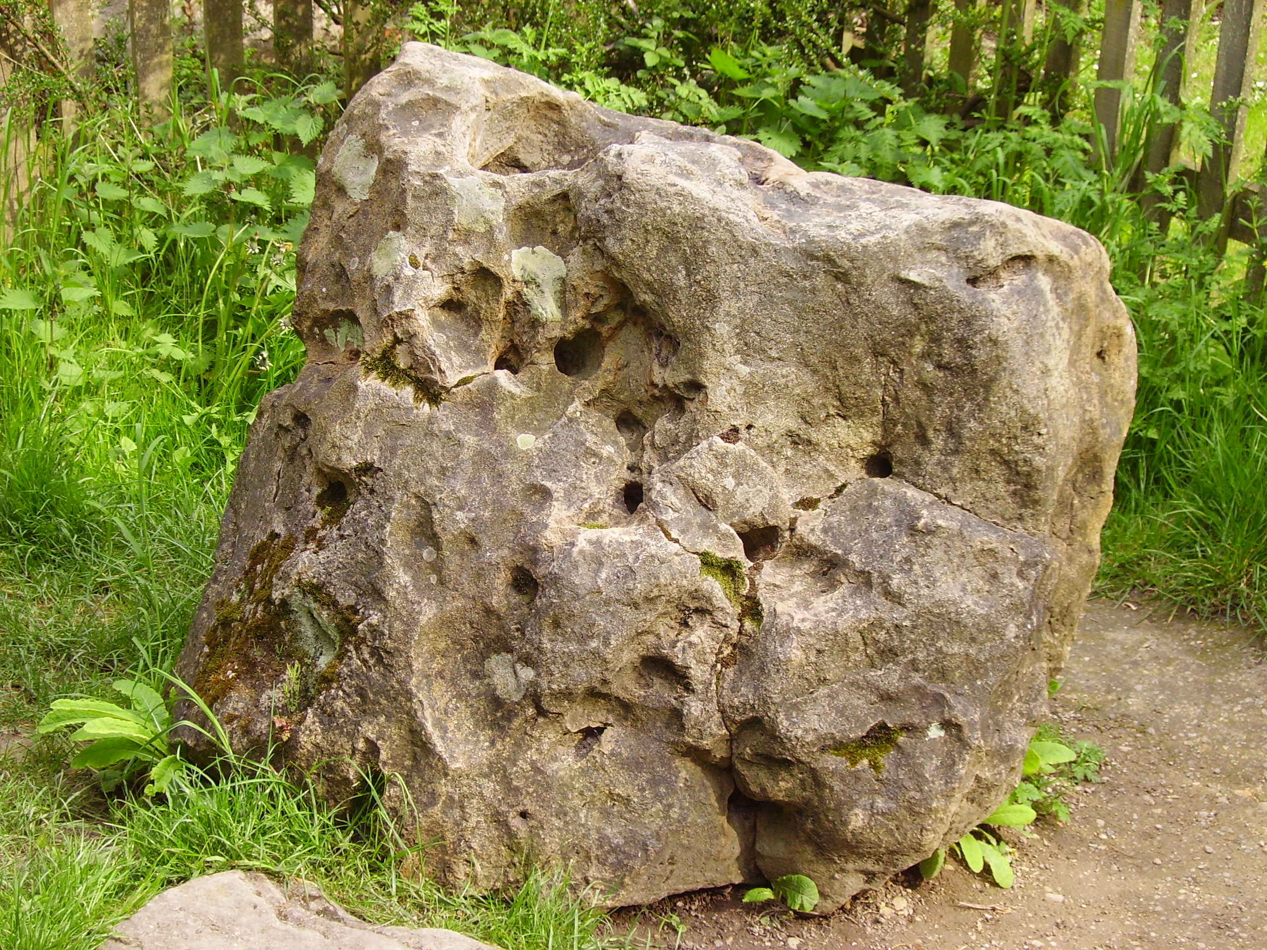
Adjacent to the downs is the moorland, characterized by its open, wild terrain covered in heather and grasses. This area is a haven for birdwatchers, as it attracts various species of birds, including red grouse and skylarks. The moorland is also known for its rich history, with ancient burial sites and stone circles scattered throughout.
North Park is also home to charming villages and towns, offering a peaceful and idyllic setting. These communities are known for their traditional English architecture, with thatched-roof cottages and historic buildings lining the streets. The local pubs and tea rooms provide a warm and welcoming atmosphere, where visitors can enjoy a traditional English meal or a cup of tea.
Overall, North Park, Berkshire offers a delightful retreat for those seeking natural beauty and tranquility. With its downs, moorland, and charming villages, this region provides a perfect setting for outdoor activities and peaceful relaxation.
If you have any feedback on the listing, please let us know in the comments section below.
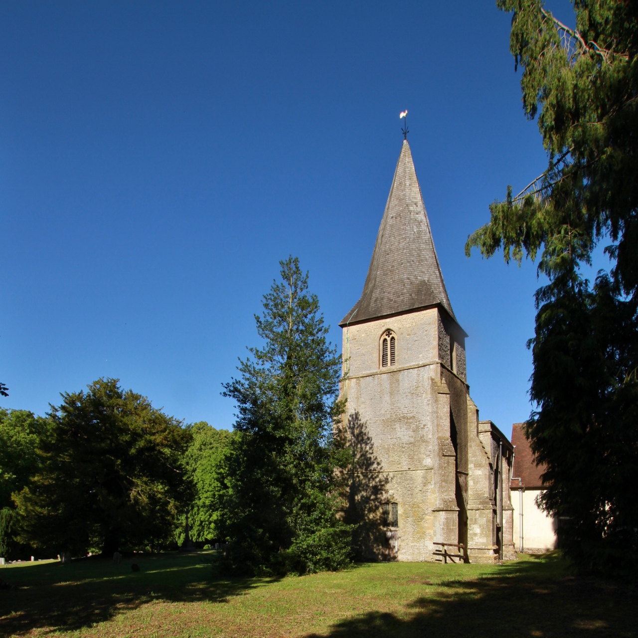
North Park Images
Images are sourced within 2km of 51.587871/-1.5235877 or Grid Reference SU3387. Thanks to Geograph Open Source API. All images are credited.


North Park is located at Grid Ref: SU3387 (Lat: 51.587871, Lng: -1.5235877)
Administrative County: Oxfordshire
District: Vale of White Horse
Police Authority: Thames Valley
What 3 Words
///removed.makeovers.backed. Near Stanford in the Vale, Oxfordshire
Nearby Locations
Related Wikis

Kingston Lisle Park
Kingston Lisle Park is a Grade II* listed Georgian country house and estate in Kingston Lisle, near Wantage, in the Vale of White Horse district of Oxfordshire...
Westcot
Westcot is a hamlet in the civil parish of Sparsholt, about 4 miles (6.4 km) west of Wantage in the Vale of White Horse, England. == External links... ==

Kingston Lisle
Kingston Lisle is a village and civil parish in the Vale of White Horse, England, about 4+1⁄2 miles (7 km) west of Wantage and 5 miles (8 km) south-southeast...
Blowing Stone
The Blowing Stone is a perforated sarsen at grid reference SU32412 87083 in Kingston Lisle, which is in the traditional county of Berkshire, but is currently...
Sparsholt, Oxfordshire
Sparsholt is a village and civil parish about 3 miles (5 km) west of Wantage in the Vale of White Horse district of Oxfordshire. The parish includes the...

Vale of White Horse
The Vale of White Horse is a local government district of Oxfordshire in England. It was historically a north-west projection of Berkshire. The area is...
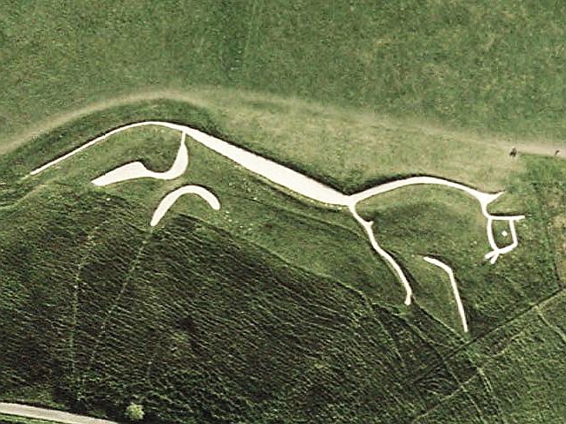
Uffington White Horse
The Uffington White Horse is a prehistoric hill figure, 110 m (360 ft) long, formed from deep trenches filled with crushed white chalk. The figure is situated...

Baulking
Baulking or Balking is a village and civil parish about 3+1⁄2 miles (5.6 km) southeast of Faringdon in the Vale of White Horse district of Oxfordshire...
Nearby Amenities
Located within 500m of 51.587871,-1.5235877Have you been to North Park?
Leave your review of North Park below (or comments, questions and feedback).