Finham Green

Downs, Moorland in Warwickshire Warwick

England

Finham Green

Green Lane, Coventry
Green Lane, Coventry Credit: Alex McGregor

Finham Green is a picturesque area located in the county of Warwickshire, England. Situated on the Downs, it offers stunning views of rolling hills, lush green meadows, and expansive moorland. The village itself is small and tranquil, characterized by its charming cottages and well-maintained gardens.

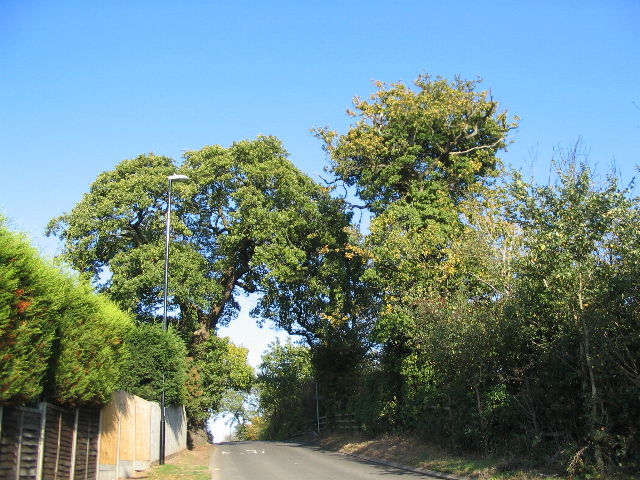
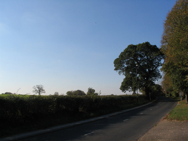
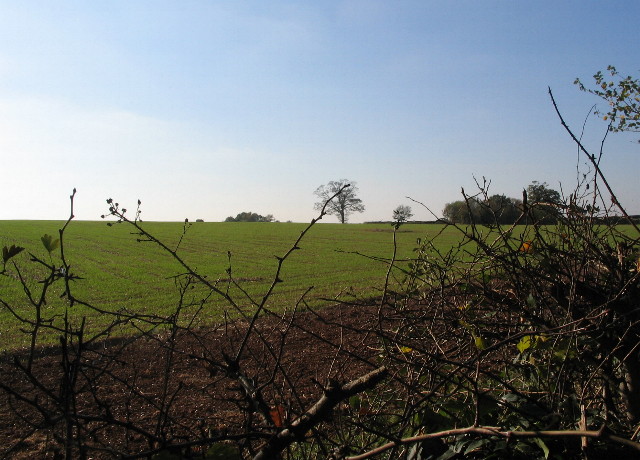
The Downs in Finham Green are a prominent feature, providing a scenic backdrop and a sense of tranquility. The undulating landscape is covered in a patchwork of fields, where sheep and cattle graze peacefully. Walking along the Downs, visitors can enjoy breathtaking vistas and take in the fresh country air.

The moorland in Finham Green adds another dimension to the area's natural beauty. It is a haven for wildlife, with various species of birds, rabbits, and deer making their homes in the dense vegetation. The moorland is also dotted with ponds and small streams, providing a serene environment for nature enthusiasts to explore.

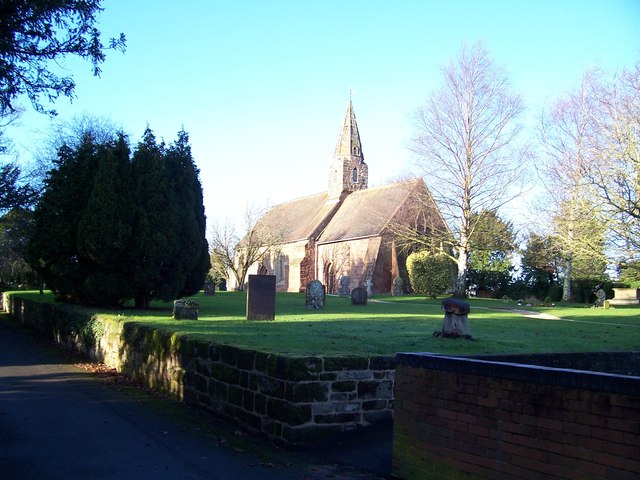
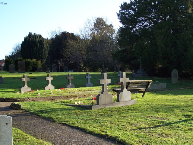
In addition to its natural charm, Finham Green offers a sense of community and a wealth of amenities. The village has a local pub, a primary school, and a church that dates back several centuries. There are also various walking and cycling paths that crisscross the area, allowing residents and visitors to explore the stunning surroundings.

Overall, Finham Green in Warwickshire is a hidden gem that combines natural beauty with a strong sense of community. Whether it's enjoying the panoramic views from the Downs, exploring the wildlife-rich moorland, or immersing yourself in the village's peaceful atmosphere, this idyllic location offers something for everyone.

If you have any feedback on the listing, please let us know in the comments section below.
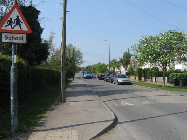
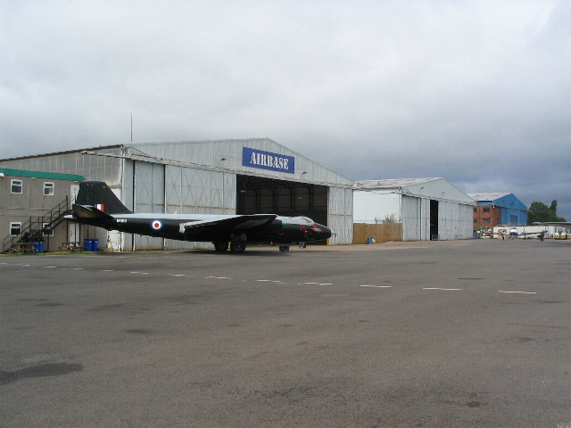
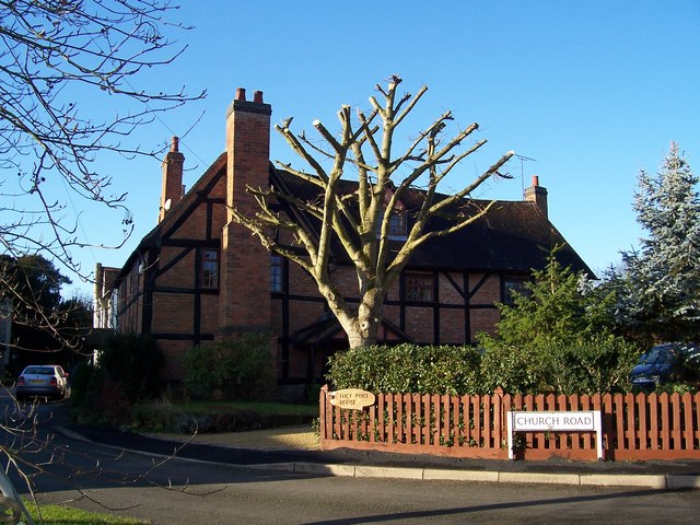
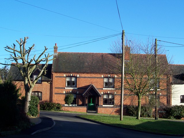
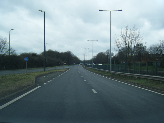
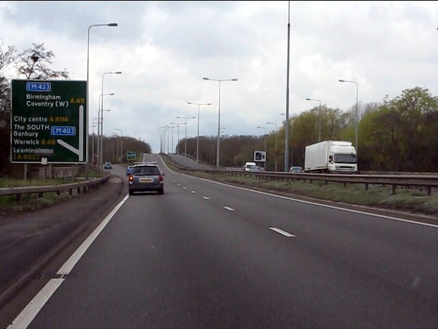
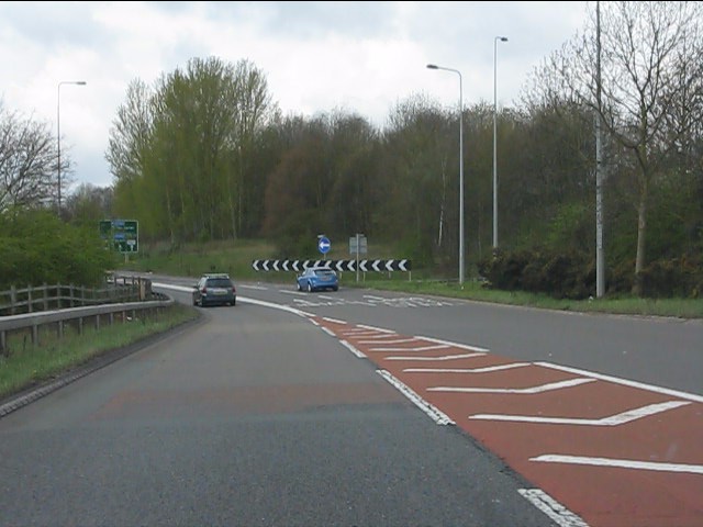
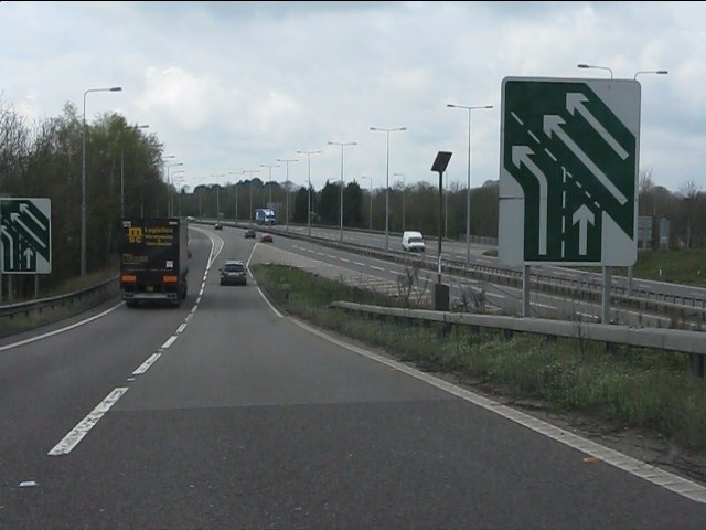
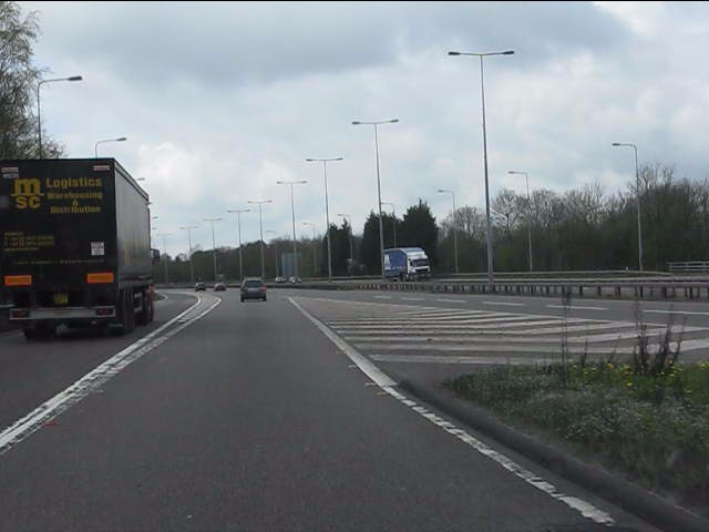
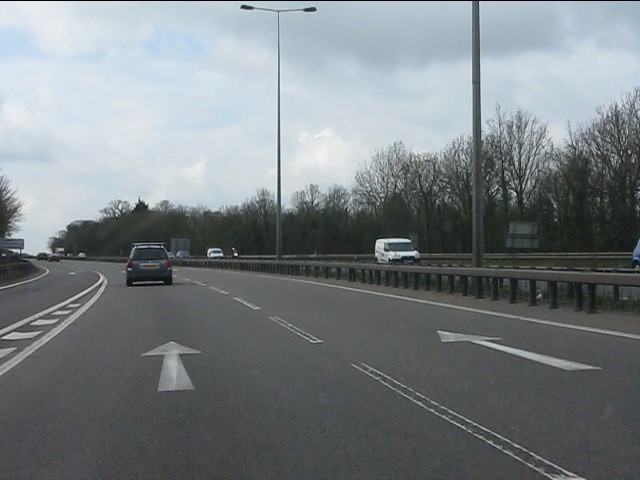
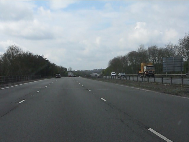
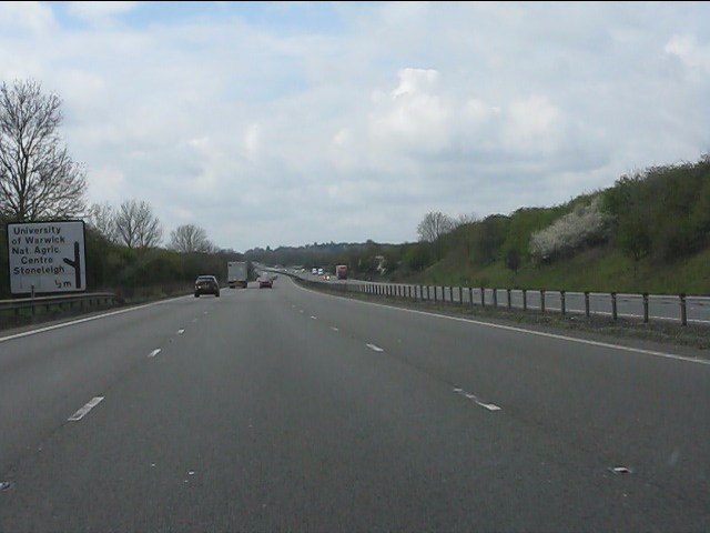
Finham Green Images

Images are sourced within 2km of 52.36985/-1.5157091 or Grid Reference SP3374. Thanks to Geograph Open Source API. All images are credited.

Green Lane, Coventry
Hangars at Baginton airport In front of the hangars is an English Electric Canberra, identification no. WK163, with an inscription on its nose reading: "Holder of the World Altitude Record of 70,310ft on 28th August 1957. Pilot: M Randrupp Observer: W. Shirley". (70310ft = 21430m approx.)
Hangars at Baginton airport
In front of the hangars is an English Electric Canberra, identification no. WK163, with an inscription on its nose reading: "Holder of the World Altitude Record of 70,310ft on 28th August 1957. Pilot: M Randrupp Observer: W. Shirley". (70310ft = 21430m approx.)
The summit of Howes Lane Howes Lane (B4115) forms part of Coventry city boundary. Here it crosses a low ridge that juts out between the river Sowe and Finham brook. The oak trees are a reminder of its former rural nature but beyond the hedgerow on the right traffic roars by on the A46 bypass.
The summit of Howes Lane
Howes Lane (B4115) forms part of Coventry city boundary. Here it crosses a low ridge that juts out between the river Sowe and Finham brook. The oak trees are a reminder of its former rural nature but beyond the hedgerow on the right traffic roars by on the A46 bypass.
Green Lane This side of the hedge Coventry suburb. On the other side, Warwickshire farmland.
Green Lane
This side of the hedge Coventry suburb. On the other side, Warwickshire farmland.
Arable land by Green Lane
Car showroom demolition The Peugeot showrooms at the Leamington Road roundabout are being demolished - to be replaced by a new showroom.
Car showroom demolition
The Peugeot showrooms at the Leamington Road roundabout are being demolished - to be replaced by a new showroom.
St John the Baptist Church, Baginton
Graves of Polish Servicemen at St John the Baptist Church, Baginton There are nine graves of Polish airmen who were fighting with the RAF and were stationed at RAF Baginton, now Coventry Airport. They were all members of 308 (Krakow) Squadron.
Graves of Polish Servicemen at St John the Baptist Church, Baginton
There are nine graves of Polish airmen who were fighting with the RAF and were stationed at RAF Baginton, now Coventry Airport. They were all members of 308 (Krakow) Squadron.
Lucy Price House, Church Road, Baginton This is named after Lucy Price (nee Bromley) who was a benefactress and endowed the village with a school in 1814. The house was built in the late 16th/early 17th century and is timber framed.
Lucy Price House, Church Road, Baginton
This is named after Lucy Price (nee Bromley) who was a benefactress and endowed the village with a school in 1814. The house was built in the late 16th/early 17th century and is timber framed.
Home Farm, Baginton
Home Farm, Baginton
Stonebridge Highway looking west
A45 approaching Stivichall Junction (A46) A major junction to the south of Coventry with free-flowing through routes on both axes.  The River Sowe bridge is immediately behind the sign.
A45 approaching Stivichall Junction (A46)
A major junction to the south of Coventry with free-flowing through routes on both axes. The River Sowe bridge is immediately behind the sign.
Free-flow slip road at Stivichall junction A slip road avoiding the roundabout has been created for traffic from the westbound A45 to the southbound A46.
Free-flow slip road at Stivichall junction
A slip road avoiding the roundabout has been created for traffic from the westbound A45 to the southbound A46.
Joining the southbound A46 The view from the slip road from Stivichall junction's roundabout.
Joining the southbound A46
The view from the slip road from Stivichall junction's roundabout.
Junction with the A46 main carriageway A parapet for the minor road which passes underneath can be seen on the right.
Junction with the A46 main carriageway
A parapet for the minor road which passes underneath can be seen on the right.
A46 south of Stivichall junction Lane 1 ahead is a lane gain from the A45 slip road.  The A46 continues as a 3-lane highway (D3 standard) from this point to the A429 Warwick exit.
A46 south of Stivichall junction
Lane 1 ahead is a lane gain from the A45 slip road. The A46 continues as a 3-lane highway (D3 standard) from this point to the A429 Warwick exit.
A46 crossing St Martin's Road (B4113)
A46 - half-mile to Stoneleigh exit
Show me another place!

Finham Green is located at Grid Ref: SP3374 (Lat: 52.36985, Lng: -1.5157091)

Administrative County: Warwickshire

District: Warwick

Police Authority: Warwickshire

What 3 Words

///magic.costs.forget. Near Coventry, West Midlands

Nearby Locations

Finham Green

Related Wikis

Coventry Alvis F.C.

Coventry Alvis Football Club is a football club based in Coventry, West Midlands, England. They are currently members of the Midland League Division Two...
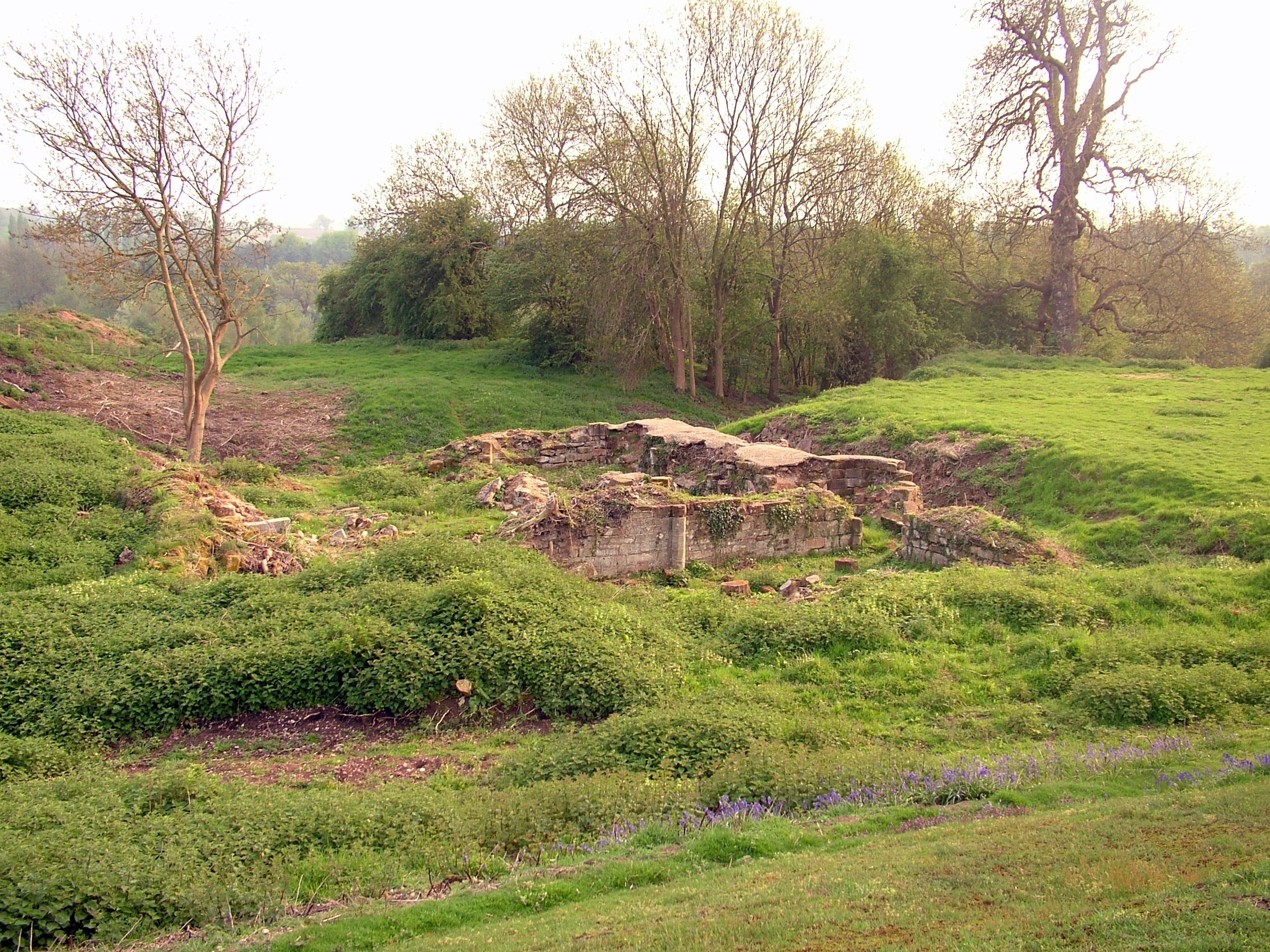
Baginton Castle

Baginton Castle, also known as Bagot's Castle, is a ruined castle in Baginton, Warwickshire, England. It was originally built in the 12th century by Geoffrey...
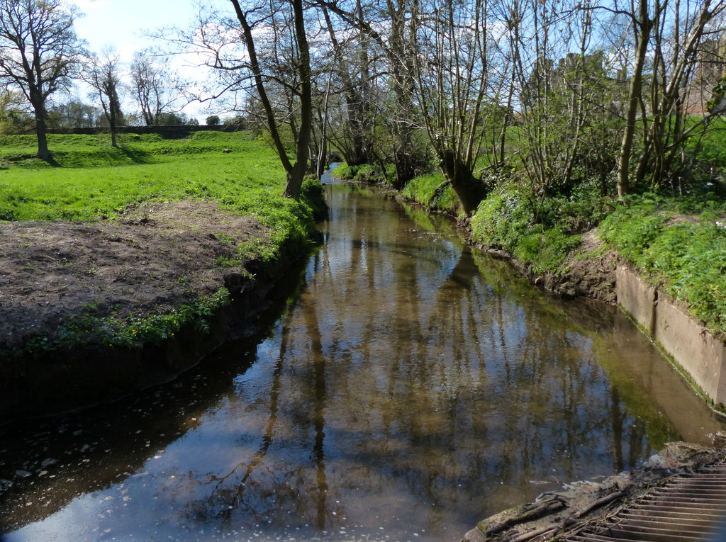
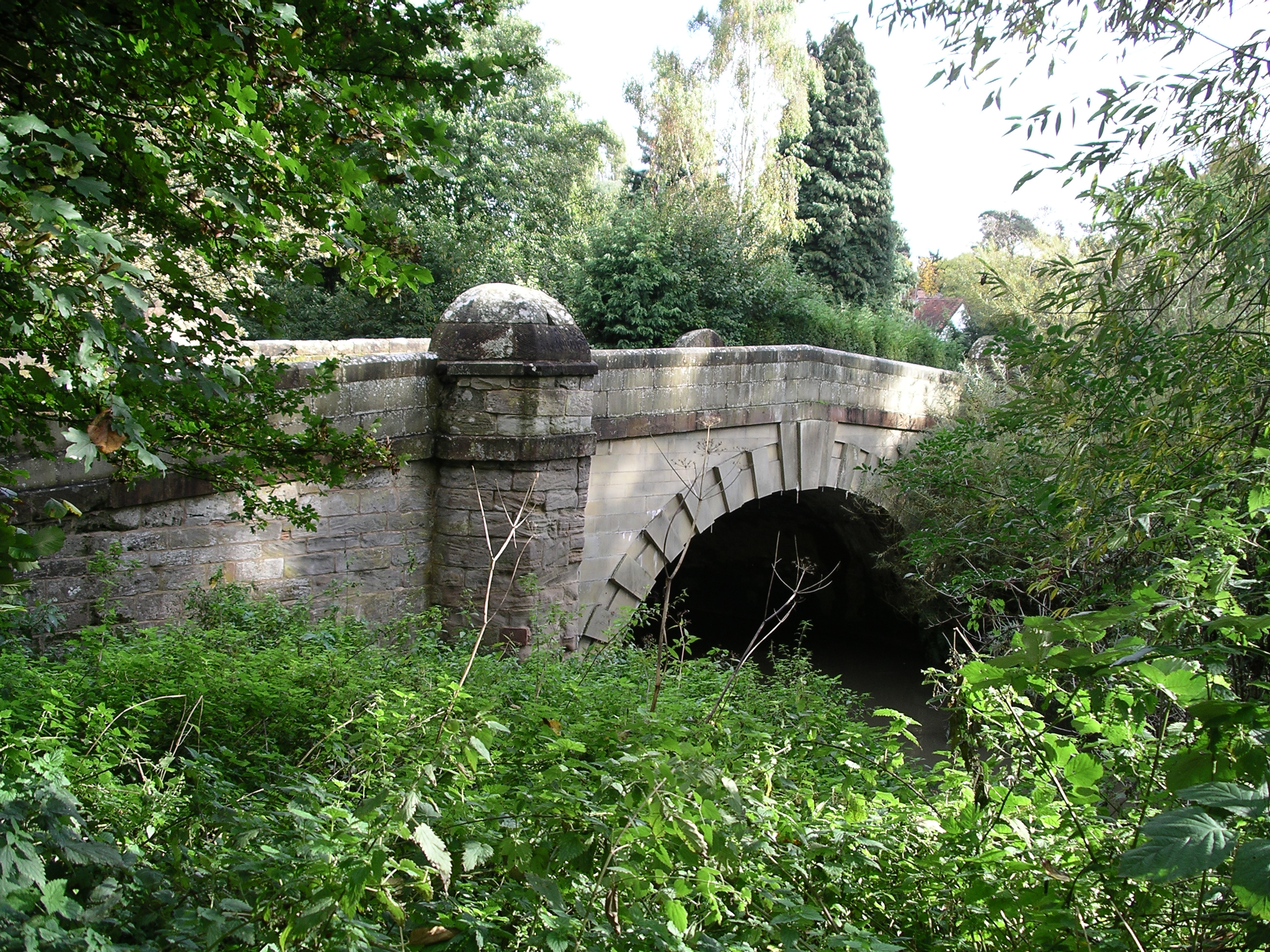
Finham Brook

The Finham Brook is a lower tributary of the River Sowe, it flows through Kenilworth and Warwickshire, England, to join the Sowe near Finham. Its principal...

Finham

Finham is a mainly residential part of the city of Coventry, West Midlands, England, and is the city's southernmost suburb, approximately 3.5 miles (6...

Finham Park School

Finham Park School is a secondary school and sixth form with academy status. It is situated on Green Lane in Finham, Coventry, England. In September 2003...
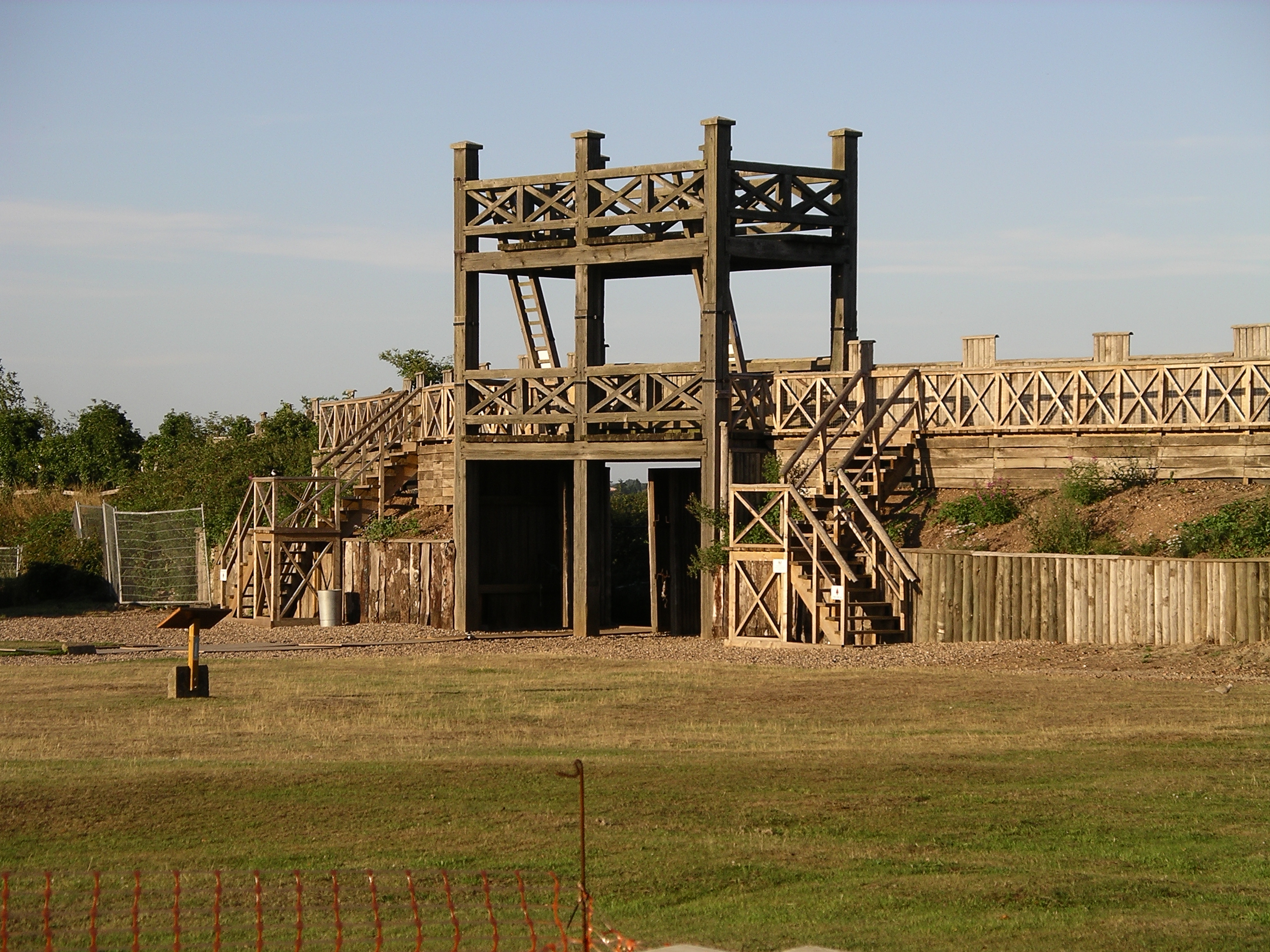
Lunt Roman Fort

The Lunt Roman Fort is the archaeological site of a Roman fort, of unknown name, in the Roman province of Britannia. It is open to the public and located...

River Sherbourne

The River Sherbourne is a river that flows under the centre of the city of Coventry, in the West Midlands, in England. The source of the river is in the...

Baginton

Baginton is a village and civil parish in the Warwick district of Warwickshire, England, and has a common border with the City of Coventry / West Midlands...

Nearby Amenities

Located within 500m of 52.36985,-1.5157091
Bus Stop
Green Lane / Finham Green Rd
Bench: no
Bin: no
Bus: yes
Lit: yes
Naptan AtcoCode: 43000023001
Naptan Bearing: NW
Naptan BusStopType: MKD
Naptan CommonName: Finham Green Rd
Naptan Indicator: Opp
Naptan NaptanCode: nwmptdjm
Naptan Status: ACT
Naptan StopType: BCT
Naptan Street: GREEN LANE
Naptan Towards: Wainbody
Naptan Verified: no
Public Transport: platform
Route Ref: 9
Shelter: no
Source: WMCA
Tactile Paving: no
Lat/Long: 52.3709335/-1.5162668
Bus Stop
Green Lane / Finham Green Rd
Bench: no
Bin: no
Bus: yes
Lit: yes
Naptan AtcoCode: 43000023002
Naptan Bearing: SE
Naptan BusStopType: MKD
Naptan CommonName: Finham Green Rd
Naptan Indicator: adj
Naptan NaptanCode: nwmtjmgm
Naptan Status: ACT
Naptan StopType: BCT
Naptan Street: GREEN LANE
Naptan Towards: City Centre
Naptan Verified: no
Public Transport: platform
Route Ref: 9
Shelter: no
Source: WMCA
Tactile Paving: no
Lat/Long: 52.3704338/-1.5151111
Bus Stop
Green Lane / Droylesdon Park Rd
Bench: no
Bin: no
Bus: yes
Naptan AtcoCode: 43001101301
Naptan Bearing: S
Naptan BusStopType: MKD
Naptan CommonName: Droylesdon Park Rd
Naptan Indicator: adj
Naptan NaptanCode: nwmptjam
Naptan Status: ACT
Naptan StopType: BCT
Naptan Street: GREEN LANE
Naptan Towards: City Centre
Naptan Verified: no
Public Transport: platform
Route Ref: 9
Shelter: no
Source: WMCA
Tactile Paving: no
Lat/Long: 52.3733556/-1.5182603
Communication Mobile Phone: yes
Man Made: mast
Tower Type: communication
Lat/Long: 52.3688344/-1.5201073
Parking
Parking: street_side
Lat/Long: 52.3713105/-1.5111296
Generator Method: photovoltaic
Generator Output Electricity: yes
Generator Source: solar
Generator Type: solar_photovoltaic_panel
Location: roof
Power: generator
Lat/Long: 52.3714563/-1.5156171
Generator Method: photovoltaic
Generator Output Electricity: yes
Generator Source: solar
Generator Type: solar_photovoltaic_panel
Location: roof
Power: generator
Lat/Long: 52.3724044/-1.5108106
Generator Method: photovoltaic
Generator Output Electricity: yes
Generator Source: solar
Generator Type: solar_photovoltaic_panel
Location: roof
Power: generator
Lat/Long: 52.3731937/-1.5114221
Material: wood
Operator: National Grid Electricity Distribution
Operator Wikidata: Q7988183
Power: pole
Lat/Long: 52.3684016/-1.5180456
Material: wood
Operator: National Grid Electricity Distribution
Operator Wikidata: Q7988183
Power: pole
Lat/Long: 52.3689185/-1.5166142
Material: wood
Operator: National Grid Electricity Distribution
Operator Wikidata: Q7988183
Power: pole
Lat/Long: 52.3678923/-1.5194965
Location Transition: yes
Material: wood
Operator: National Grid Electricity Distribution
Operator Wikidata: Q7988183
Power: pole
Lat/Long: 52.3676755/-1.5210431
Material: wood
Operator: National Grid Electricity Distribution
Operator Wikidata: Q7988183
Power: pole
Lat/Long: 52.3691407/-1.5157044
Location Transition: yes
Material: wood
Operator: National Grid Electricity Distribution
Operator Wikidata: Q7988183
Power: pole
Lat/Long: 52.3695613/-1.5148569
Material: wood
Operator: National Grid Electricity Distribution
Operator Wikidata: Q7988183
Power: pole
Lat/Long: 52.3677852/-1.5203676
The data included in this document is from www.openstreetmap.org. The data is made available under ODbL.

Have you been to Finham Green?

Leave your review of Finham Green below (or comments, questions and feedback).