Bishop Monkton Moor

Downs, Moorland in Yorkshire Harrogate

England

Bishop Monkton Moor

Bishop Monkton, Ivy House Farm The benchmark is cut into the right hand gatepost at the entrance to the farm.
Bishop Monkton, Ivy House Farm Credit: Mel Towler

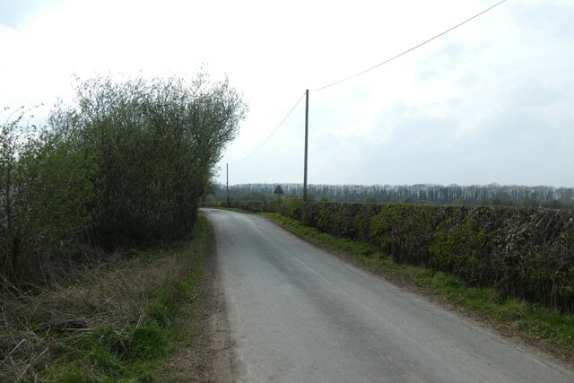
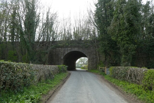
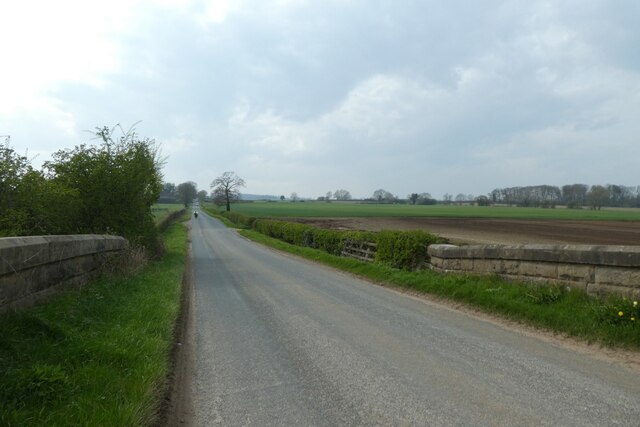
Bishop Monkton Moor is a picturesque area located in the county of Yorkshire, England. Stretching across the region, the moorland offers a diverse and captivating landscape, combining rolling hills, vast open spaces, and lush greenery. The moor is situated just a few miles west of the village of Bishop Monkton, making it easily accessible for visitors.

The area is characterized by its unique blend of downs and moorland, providing a habitat for a variety of plant and animal species. The moor is covered in heather and grasses, which create a stunning purple and green carpet across the landscape, particularly during the summer months. This vibrant display attracts nature enthusiasts and photographers alike.

Bishop Monkton Moor is also home to a wide range of wildlife, including birds, such as curlews, lapwings, and skylarks, which can often be spotted soaring overhead. The moorland also supports a population of hares, rabbits, and deer, adding to the area's natural beauty.

For those looking to explore the moor, there are several walking trails and footpaths that wind through the area, offering breathtaking views of the surrounding countryside. The peaceful and tranquil atmosphere of the moor provides an ideal setting for a leisurely stroll or a picnic with family and friends.

Overall, Bishop Monkton Moor is a stunning natural landscape, combining the charm of downs and moorland. Its diverse flora and fauna, along with its serene ambiance, make it a must-visit destination for nature lovers and those seeking a peaceful escape in the heart of Yorkshire.

If you have any feedback on the listing, please let us know in the comments section below.

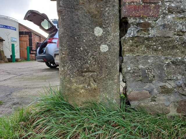
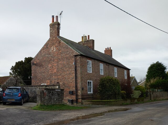
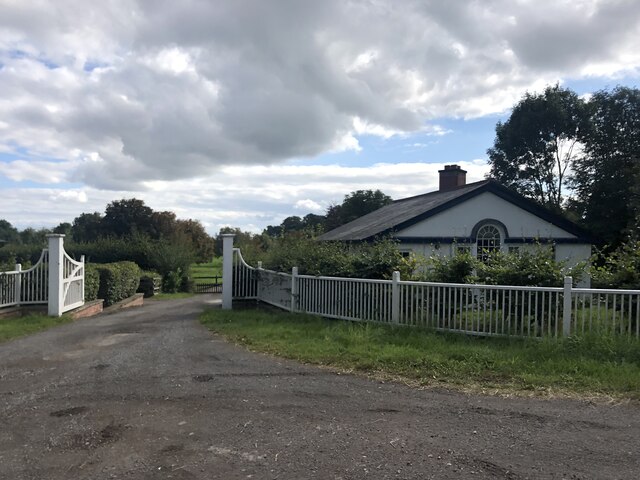
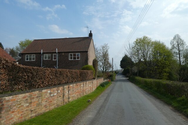
Bishop Monkton Moor Images

Images are sourced within 2km of 54.090759/-1.5159761 or Grid Reference SE3166. Thanks to Geograph Open Source API. All images are credited.

Bishop Monkton, Ivy House Farm The benchmark is cut into the right hand gatepost at the entrance to the farm.
Bishop Monkton, Ivy House Farm
The benchmark is cut into the right hand gatepost at the entrance to the farm.
Bishop Monkton, Ivy House Farm There is a benchmark cut into the right hand gatepost at the entrance to the farm.
Bishop Monkton, Ivy House Farm
There is a benchmark cut into the right hand gatepost at the entrance to the farm.
Hollin Lodge Lodge to Hollin Hall on the A61 south of Ripon
Hollin Lodge
Lodge to Hollin Hall on the A61 south of Ripon
House south of Littlethorpe Looking along Pottery Lane.
House south of Littlethorpe
Looking along Pottery Lane.
Corner on Pottery Lane Looking along Pottery Lane towards Littlethorpe and Ripon.
Corner on Pottery Lane
Looking along Pottery Lane towards Littlethorpe and Ripon.
Along Pottery Lane The road heads to meet Knaresborough Road.
Along Pottery Lane
The road heads to meet Knaresborough Road.
Pottery Lane towards the old railway Looking along Pottery Lane with the former Harrogate - Ripon - Northallerton railway embankment ahead.
Pottery Lane towards the old railway
Looking along Pottery Lane with the former Harrogate - Ripon - Northallerton railway embankment ahead.
Pottery Lane Leading to Littlethorpe and Ripon.
Pottery Lane
Leading to Littlethorpe and Ripon.
Former railway bridge Looking along Pottery Lane with the former Harrogate - Ripon - Northallerton railway embankment ahead.
Former railway bridge
Looking along Pottery Lane with the former Harrogate - Ripon - Northallerton railway embankment ahead.
Pottery Lane meets Knaresborough Road Both roads head from Ripon towards Bishop Monkton, with Pottery Lane heading via Littlethorpe.
Pottery Lane meets Knaresborough Road
Both roads head from Ripon towards Bishop Monkton, with Pottery Lane heading via Littlethorpe.
Moor Road crossing the former railway Looking along Moor Road as it crosses the former Harrogate - Ripon - Northallerton railway.
Moor Road crossing the former railway
Looking along Moor Road as it crosses the former Harrogate - Ripon - Northallerton railway.
Moor Road towards Bishop Monkton Looking along Moor Road as it crosses the former Harrogate - Ripon - Northallerton railway.
Moor Road towards Bishop Monkton
Looking along Moor Road as it crosses the former Harrogate - Ripon - Northallerton railway.
Frosty morning, Bishop Monkton Footpath towards the caravan site at Bishop Monkton on a very cold and frosty December day.
Frosty morning, Bishop Monkton
Footpath towards the caravan site at Bishop Monkton on a very cold and frosty December day.
Ripon, Hell Wath Lane The benchmark is cut into the left gatepost as travelling eastwards along the lane.
Ripon, Hell Wath Lane
The benchmark is cut into the left gatepost as travelling eastwards along the lane.
Ripon, Hell Wath Lane There is a benchmark cut into the left gatepost as travelling eastwards along the lane.
Ripon, Hell Wath Lane
There is a benchmark cut into the left gatepost as travelling eastwards along the lane.
Markington, Thwaites Lane The benchmark is cut into a concrete gatepost on the north side of the lane.
Markington, Thwaites Lane
The benchmark is cut into a concrete gatepost on the north side of the lane.
Markington, Thwaites Lane There is a benchmark cut into the lone concrete gatepost on the north side of the lane.
Markington, Thwaites Lane
There is a benchmark cut into the lone concrete gatepost on the north side of the lane.
Markington, Thwaites Lane According to the 1909 OS map there was a benchmark in this location on the south side of the lane. It is likely to have been a post, gatepost or stone in a wall. Nothing was found.
Markington, Thwaites Lane
According to the 1909 OS map there was a benchmark in this location on the south side of the lane. It is likely to have been a post, gatepost or stone in a wall. Nothing was found.
Show me another place!

Bishop Monkton Moor is located at Grid Ref: SE3166 (Lat: 54.090759, Lng: -1.5159761)

Division: West Riding

Administrative County: North Yorkshire

District: Harrogate

Police Authority: North Yorkshire

What 3 Words

///jaunts.coasting.hers. Near Ripon, North Yorkshire

Nearby Locations

Bishop Monkton Moor

Related Wikis

Bishop Monkton

Bishop Monkton is a village and civil parish in the Harrogate district of North Yorkshire, England, about five miles south of Ripon. According to the...

Wormald Green

Wormald Green is a village in the civil parish of Markington with Wallerthwaite in the district of Harrogate, North Yorkshire, England. In 2016, Harrogate...

Wormald Green railway station

Wormald Green railway station served the village of Wormald Green, Harrogate, England from 1848 to 1964 on the Leeds-Northallerton Railway. == History... ==

Ingerthorpe

Ingerthorpe is a hamlet and former civil parish about 7 miles (11 km) from Harrogate, now in the parish of Markington with Wallerthwaite, in the Harrogate...
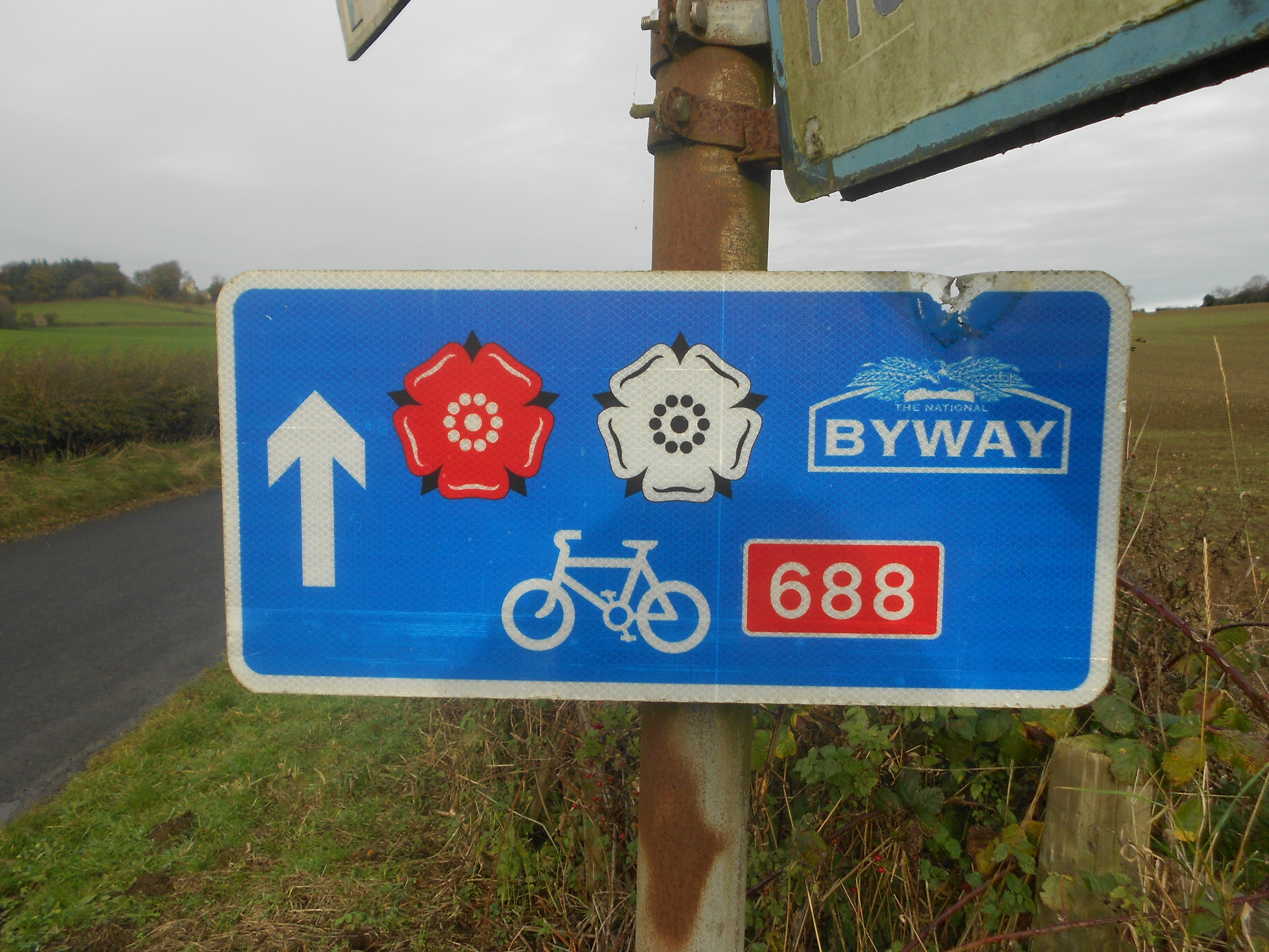
Way of the Roses

The Way of the Roses is the newest of Great Britain's coast-to-coast long-distance cycle routes and is based on minor roads, disused railway lines and...

South Stainley

South Stainley is a small village in the Harrogate District, in the county of North Yorkshire, England. Nearby settlements include the city of Ripon, the...

Burton Leonard

Burton Leonard is a village and civil parish in the Harrogate district of North Yorkshire, England, and approximately 7 miles (11 km) south from Ripon...
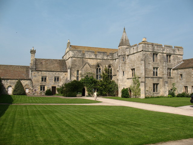
Markenfield Hall

Markenfield Hall is an early 14th-century moated manor house about 3 miles (5 km) south of Ripon, North Yorkshire, England. It is in the civil parish of...

Nearby Amenities

Located within 500m of 54.090759,-1.5159761
Power: pole
Lat/Long: 54.0951582/-1.5170547
Power: pole
Lat/Long: 54.0941609/-1.5170145
Power: pole
Lat/Long: 54.0932438/-1.516993
Power: pole
Lat/Long: 54.091309/-1.5169743
Power: pole
Lat/Long: 54.0904202/-1.5171379
Power: pole
Lat/Long: 54.0895423/-1.5172988
Power: pole
Lat/Long: 54.0947351/-1.5174571
Power: pole
Lat/Long: 54.0941184/-1.5174195
Power: pole
Lat/Long: 54.0932627/-1.5173551
Power: pole
Lat/Long: 54.092322/-1.5172961
Power: pole
Lat/Long: 54.0913247/-1.5171862
Power: pole
Lat/Long: 54.0904972/-1.5173391
Power: pole
Lat/Long: 54.0896603/-1.5174946
Power: pole
Lat/Long: 54.0877395/-1.5176529
Power: pole
Lat/Long: 54.0868443/-1.5178245
Power: pole
Lat/Long: 54.0879802/-1.5178621
Power: pole
Lat/Long: 54.0870897/-1.5180498
The data included in this document is from www.openstreetmap.org. The data is made available under ODbL.

Have you been to Bishop Monkton Moor?

Leave your review of Bishop Monkton Moor below (or comments, questions and feedback).