Baulking Green
Downs, Moorland in Berkshire Vale of White Horse
England
Baulking Green

Baulking Green is a charming village located in Berkshire, England. Situated in the heart of the countryside, it is surrounded by the beautiful Downs and Moorland landscapes, providing residents and visitors with breathtaking views and a tranquil atmosphere.
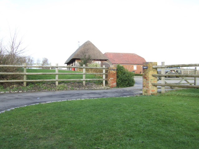
The village itself is small yet picturesque, with a population of around 500. It is known for its quaint thatched cottages, well-maintained gardens, and a sense of community that is cherished by its residents. The architecture in Baulking Green is predominantly traditional, giving it a timeless feel that adds to its charm.
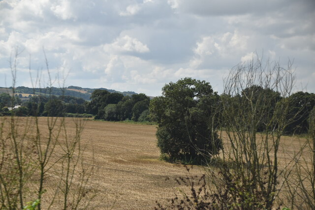
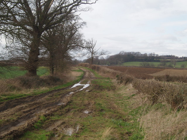
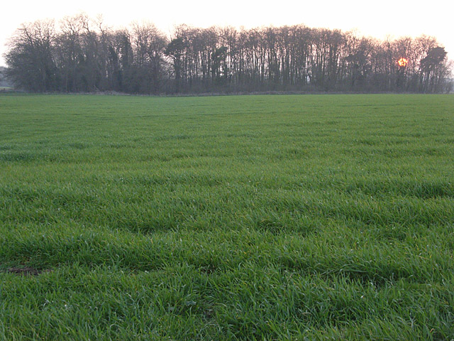
Nature enthusiasts are drawn to Baulking Green for its proximity to the Downs and Moorland. The Downs offer expansive rolling hills, ideal for long walks, picnics, and even horse riding. The Moorland, on the other hand, presents a wilder landscape with open spaces and heather-covered hills, attracting birdwatchers and hikers alike.
Despite its rural setting, Baulking Green benefits from good transport links. The nearby A420 provides easy access to nearby towns and cities, such as Oxford and Swindon, while the village is also served by a regular bus service.
A sense of community is fostered in Baulking Green through various events and activities. The village hall hosts regular gatherings, including a popular weekly farmer's market, where locals can socialize and support local businesses. Additionally, the village pub serves as a meeting point for residents and visitors to relax and enjoy a drink or a meal.
Baulking Green is a hidden gem in Berkshire, offering a peaceful and idyllic lifestyle for those seeking a rural retreat with access to stunning natural surroundings.
If you have any feedback on the listing, please let us know in the comments section below.
Baulking Green Images
Images are sourced within 2km of 51.616596/-1.5433198 or Grid Reference SU3190. Thanks to Geograph Open Source API. All images are credited.


Baulking Green is located at Grid Ref: SU3190 (Lat: 51.616596, Lng: -1.5433198)
Administrative County: Oxfordshire
District: Vale of White Horse
Police Authority: Thames Valley
What 3 Words
///wiggly.biked.palettes. Near Stanford in the Vale, Oxfordshire
Nearby Locations
Related Wikis

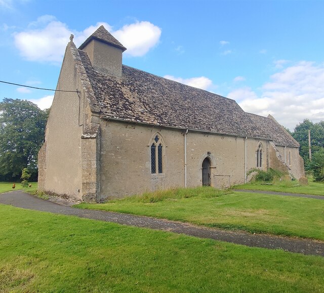
Baulking
Baulking or Balking is a village and civil parish about 3+1⁄2 miles (5.6 km) southeast of Faringdon in the Vale of White Horse district of Oxfordshire...

Uffington railway station
Uffington railway station (sometimes marked as Uffington Junction) is a former station on the Great Western Main Line. The station was located north-east...
Uffington, Oxfordshire
Uffington is a village and civil parish in Oxfordshire, about 4 miles (6.4 km) south of Faringdon and 6 miles (10 km) west of Wantage. The 2011 Census...

Tom Brown's School Museum
Tom Brown's School Museum is a local museum in the village of Uffington (near Faringdon), Oxfordshire, England. It was opened in 1984.The museum covers...

Shellingford
Shellingford, historically also spelt Shillingford, is a village and civil parish about 2+1⁄2 miles (4 km) south-east of Faringdon in the Vale of White...

Fernham
Fernham is a village and civil parish about 2 miles (3 km) south of Faringdon in the Vale of White Horse, Oxfordshire, England. Fernham was historically...
RAF Shellingford
RAF Shellingford was a Royal Air Force station located approximately 4 miles east of the town of Faringdon in Oxfordshire. It occupied land adjacent to...

Shellingford Crossroads Quarry
Shellingford Crossroads Quarry is a 2.6-hectare (6.4-acre) geological Site of Special Scientific Interest west of Stanford in the Vale in Oxfordshire....
Nearby Amenities
Located within 500m of 51.616596,-1.5433198Have you been to Baulking Green?
Leave your review of Baulking Green below (or comments, questions and feedback).