Hatley St George

Settlement in Cambridgeshire South Cambridgeshire

England

Hatley St George

Hayley Wood Nature Reserve Spring!
Hayley Wood Nature Reserve Credit: mym

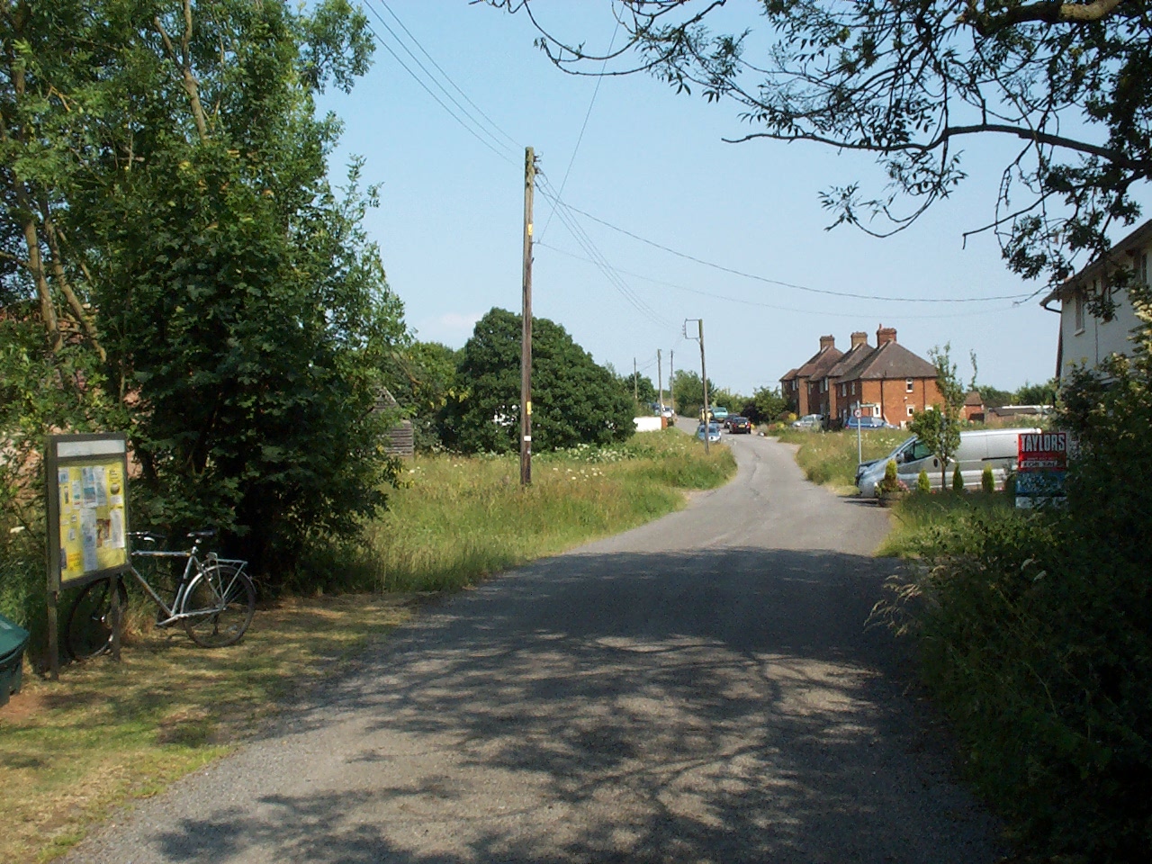
Hatley St George is a small village located in the county of Cambridgeshire, England. Situated approximately 11 miles south-west of the city of Cambridge, it lies in the picturesque countryside surrounded by open fields and rolling hills. The village is part of the South Cambridgeshire district and falls under the civil parish of Hatley.

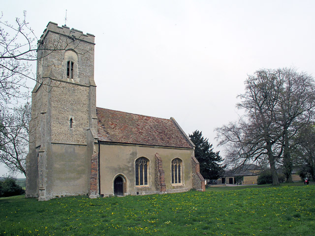
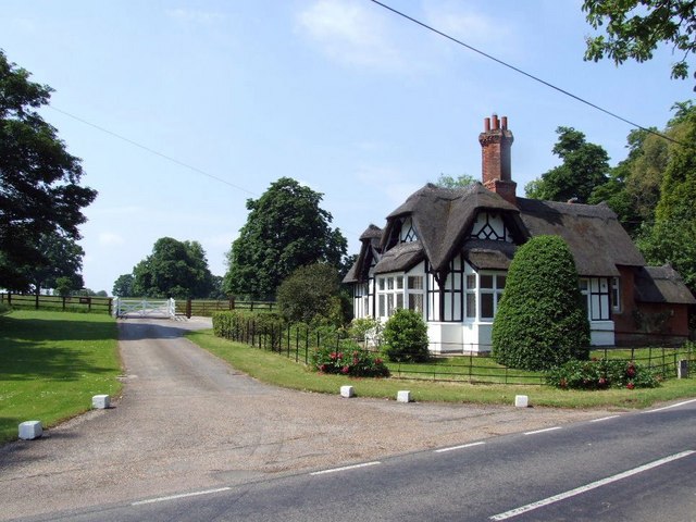
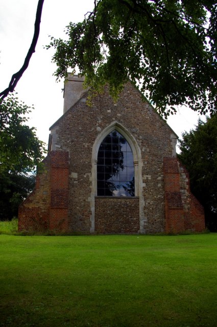
With a population of around 150 residents, Hatley St George is known for its tranquil and idyllic setting. The village is characterized by its charming thatched cottages, quaint village green, and a 13th-century church dedicated to St George. The church's architecture stands as a testament to the village's rich history and heritage.

Despite its small size, Hatley St George boasts a tight-knit community that actively participates in village events and initiatives. The village hall serves as a central meeting point for various social gatherings, including community parties, clubs, and local meetings.

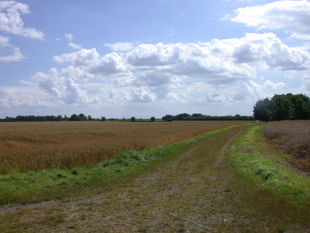
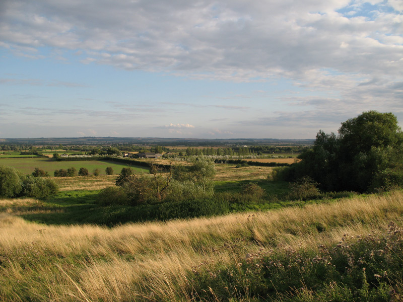
The surrounding countryside offers ample opportunities for outdoor activities, such as walking, cycling, and horse riding. The village is also home to several farms, contributing to the rural economy and providing a picturesque backdrop.

While Hatley St George may lack amenities such as shops and schools, it benefits from its close proximity to nearby towns and villages, ensuring residents have easy access to essential services and amenities. Overall, Hatley St George is a peaceful and charming village that offers a serene escape from the hustle and bustle of city life.

If you have any feedback on the listing, please let us know in the comments section below.

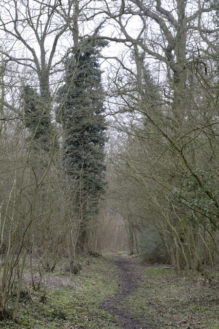
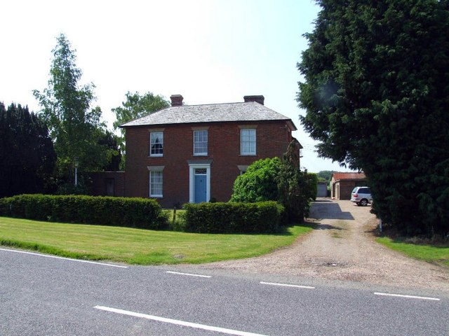
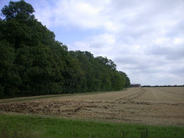
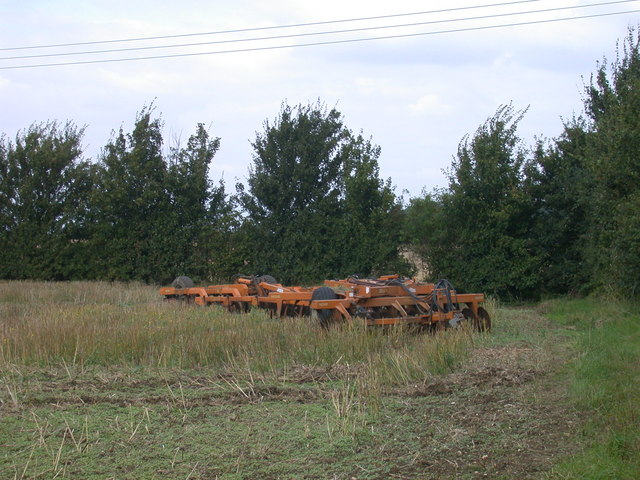
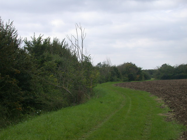
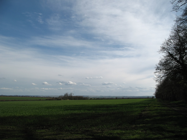
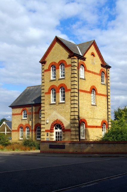
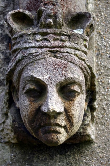
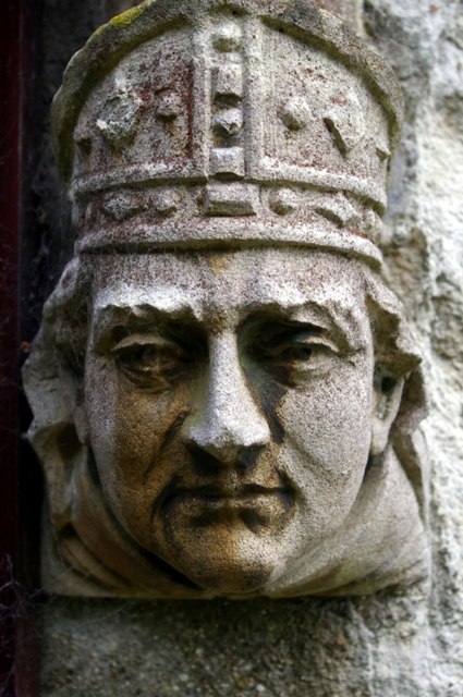
Hatley St George Images

Images are sourced within 2km of 52.144068/-0.126453 or Grid Reference TL2851. Thanks to Geograph Open Source API. All images are credited.

Hayley Wood Nature Reserve Spring!
Hayley Wood Nature Reserve
Spring!
East Hatley, St Denys <span class="nowrap"><a title="http://www.druidic.org/camchurch/churches/easthatley.htm" rel="nofollow ugc noopener" href="http://www.druidic.org/camchurch/churches/easthatley.htm">Link</a><img style="margin-left:2px;" alt="External link" title="External link - shift click to open in new window" src="https://s1.geograph.org.uk/img/external.png" width="10" height="10"/></span>
East Hatley, St Denys
Hatley St George, St George <span class="nowrap"><a title="http://www.druidic.org/camchurch/churches/hatleygeorge.htm" rel="nofollow ugc noopener" href="http://www.druidic.org/camchurch/churches/hatleygeorge.htm">Link</a><img style="margin-left:2px;" alt="External link" title="External link - shift click to open in new window" src="https://s1.geograph.org.uk/img/external.png" width="10" height="10"/></span>
Hatley St George, St George
Church Porch of St Denis, East Hatley <span class="nowrap"><a title="http://www.hatley.info/" rel="nofollow ugc noopener" href="http://www.hatley.info/">Link</a><img style="margin-left:2px;" alt="External link" title="External link - shift click to open in new window" src="https://s1.geograph.org.uk/img/external.png" width="10" height="10"/></span> :
"A feature of the Hatleys is that the more important buildings were once surrounded by moats. These can still be seen, especially in East Hatley. St. Denis church retains its moat and other moats can be seen from the road near Manor Barn and The Palace."
Church Porch of St Denis, East Hatley
LinkExternal link : "A feature of the Hatleys is that the more important buildings were once surrounded by moats. These can still be seen, especially in East Hatley. St. Denis church retains its moat and other moats can be seen from the road near Manor Barn and The Palace."
Buff Wood, East Hatley One of the earliest woodland nature reserves was Buff Wood (East Hatley), selected by the late Humphrey Gilbert-Carter in 1946 for purchase by Cambridge University.
Buff Wood, East Hatley
One of the earliest woodland nature reserves was Buff Wood (East Hatley), selected by the late Humphrey Gilbert-Carter in 1946 for purchase by Cambridge University.
Possibly a gate house to Hatley Park
Holbein's Farm
Holbein's Farm
Footpath to East Hatley
Buff Wood SSSI A long-standing woodland listed as a representative of wet ash-maple and pedunculate oak-hazel/ash woodland, with typical ancient woodland plants. <span class="nowrap"><a title="http://www.english-nature.org.uk/citation/citation_photo/1000205.pdf" rel="nofollow ugc noopener" href="http://www.english-nature.org.uk/citation/citation_photo/1000205.pdf">Link</a><img style="margin-left:2px;" alt="External link" title="External link - shift click to open in new window" src="https://s1.geograph.org.uk/img/external.png" width="10" height="10"/></span>
Buff Wood SSSI
A long-standing woodland listed as a representative of wet ash-maple and pedunculate oak-hazel/ash woodland, with typical ancient woodland plants. LinkExternal link
Disk harrow parked in field
The Green and Winding Road
Bar Lane Looking south-east across farmland from Bar Lane, Hatley St George.
Bar Lane
Looking south-east across farmland from Bar Lane, Hatley St George.
St George's Tower Converted water tower retained as a feature in the new business park to which it gives its name.
St George's Tower
Converted water tower retained as a feature in the new business park to which it gives its name.
St George's Church The body of the church is Perpendicular, but the chancel was rebuilt in 1875, when the whole church was restored.  The chancel, with its short transepts, was disused by 1970 and has since been demolished, the east end now being closed by this plain window and new wall within the original chancel arch of two chamfered orders.

<span class="nowrap"><a title="http://www.druidic.org/camchurch/churches/hatleygeorge.htm" rel="nofollow ugc noopener" href="http://www.druidic.org/camchurch/churches/hatleygeorge.htm">Link</a><img style="margin-left:2px;" alt="External link" title="External link - shift click to open in new window" src="https://s1.geograph.org.uk/img/external.png" width="10" height="10"/></span>
St George's Church
The body of the church is Perpendicular, but the chancel was rebuilt in 1875, when the whole church was restored. The chancel, with its short transepts, was disused by 1970 and has since been demolished, the east end now being closed by this plain window and new wall within the original chancel arch of two chamfered orders. LinkExternal link
We are not amused! Label stop by the north door of St George's Church.  Traditionally these stops are caricatures of the reigning monarch and current bishop (thanks to Richard Croft for pointing out this custom).  The church was restored in 1875, so this sour-faced queen must be Victoria.
We are not amused!
Label stop by the north door of St George's Church. Traditionally these stops are caricatures of the reigning monarch and current bishop (thanks to Richard Croft for pointing out this custom). The church was restored in 1875, so this sour-faced queen must be Victoria.
Bishop Woodford Label stop by the north door of St George's Church.  Traditionally these stops are caricatures of the reigning monarch and current bishop (thanks to Richard Croft for pointing out this custom).  The church was restored in 1875, so this must be Bishop James Russell Woodford of Ely.
Bishop Woodford
Label stop by the north door of St George's Church. Traditionally these stops are caricatures of the reigning monarch and current bishop (thanks to Richard Croft for pointing out this custom). The church was restored in 1875, so this must be Bishop James Russell Woodford of Ely.
The Interpretative Centre, Hayley Wood Situated roughly in the centre of the wood, at a crossing point of the main rides, this shelter contains information boards describing the long recorded history of the wood, and the extensive flora and fauna present. The plaque records that the building was commissioned on 19th September 1991.
The Interpretative Centre, Hayley Wood
Situated roughly in the centre of the wood, at a crossing point of the main rides, this shelter contains information boards describing the long recorded history of the wood, and the extensive flora and fauna present. The plaque records that the building was commissioned on 19th September 1991.
Bridge beside Hayley Wood Just outside the wood, a bridge over a drainage ditch carries a bridleway that runs alongside the south-east edge of the wood.
Bridge beside Hayley Wood
Just outside the wood, a bridge over a drainage ditch carries a bridleway that runs alongside the south-east edge of the wood.
Show me another place!

Hatley St George is located at Grid Ref: TL2851 (Lat: 52.144068, Lng: -0.126453)

Administrative County: Cambridgeshire

District: South Cambridgeshire

Police Authority: Cambridgeshire

What 3 Words

///distracts.above.bothered. Near Gamlingay, Cambridgeshire

Related Wikis

Hatley, Cambridgeshire

Hatley is a civil parish in South Cambridgeshire, England. It lies between the villages of Gamlingay and Croydon, 12 miles south-west of the city of Cambridge...

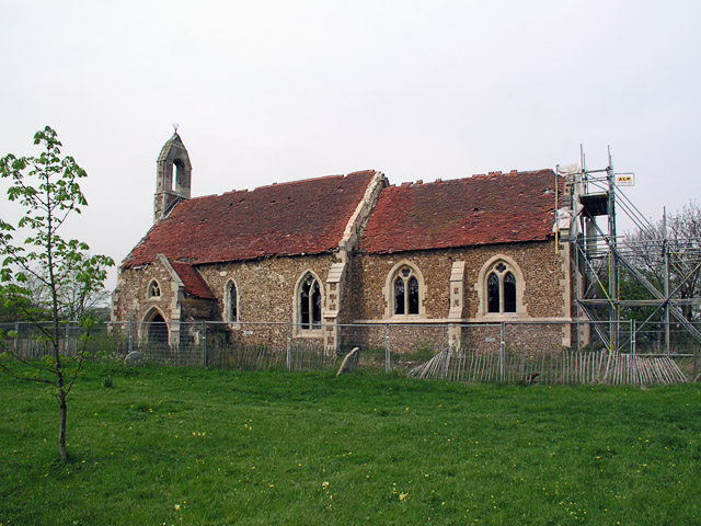
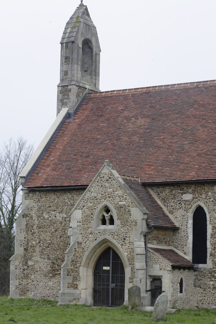
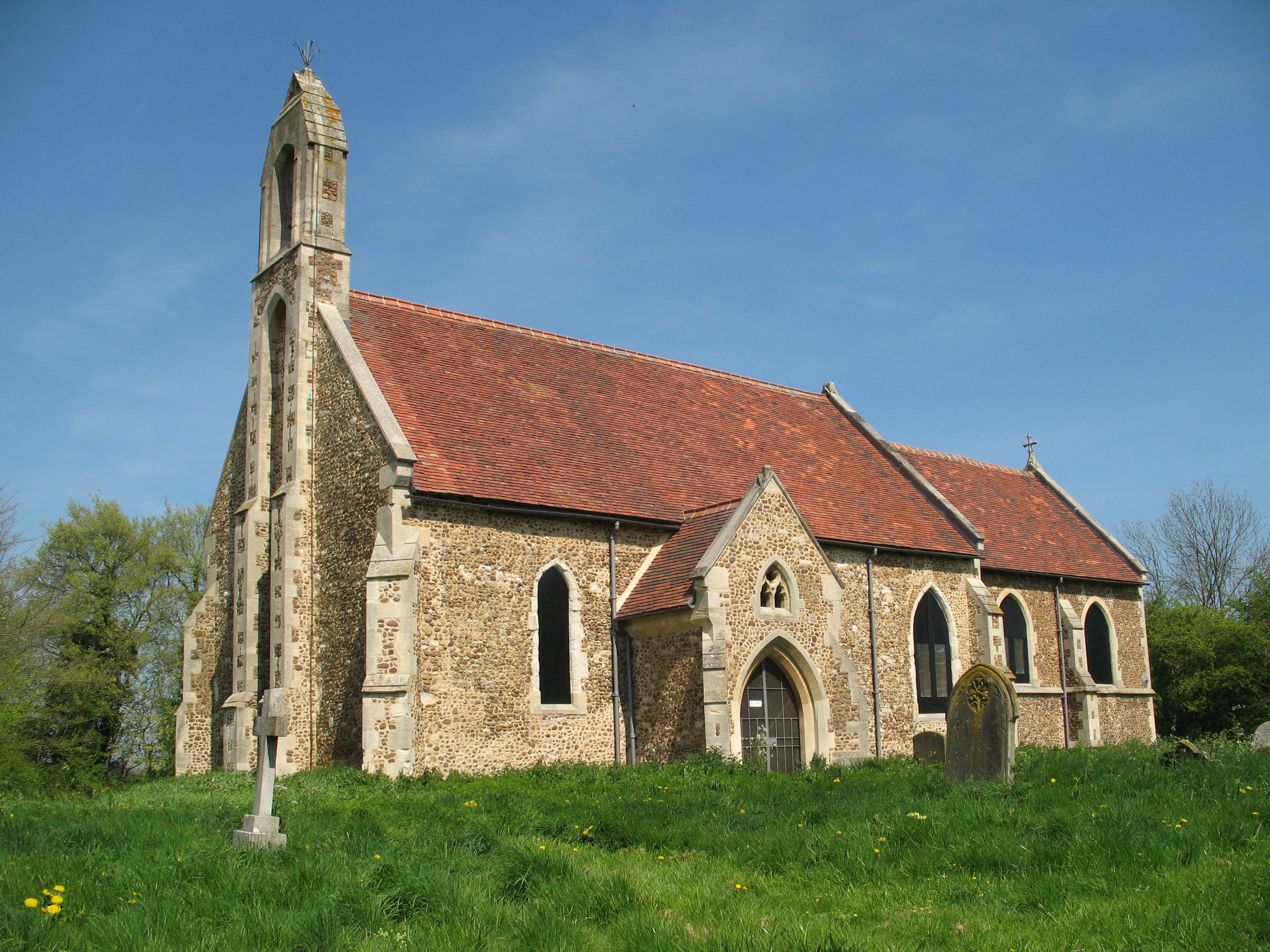
St Denis Church, East Hatley

St Denis' Church, East Hatley is a deconsecrated church in East Hatley in Cambridgeshire, England. It is a listed building, Grade 2*, and the building...
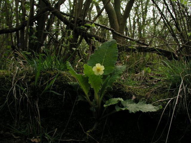
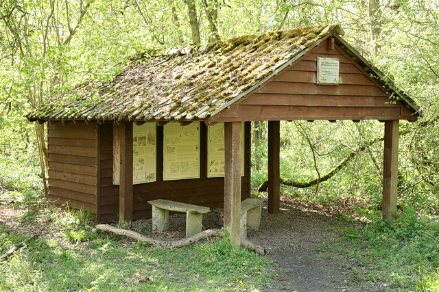
Buff Wood

Buff Wood is a 15.8-hectare (39-acre) biological Site of Special Scientific Interest in Hatley in Cambridgeshire. It is managed by the Wildlife Trust for...
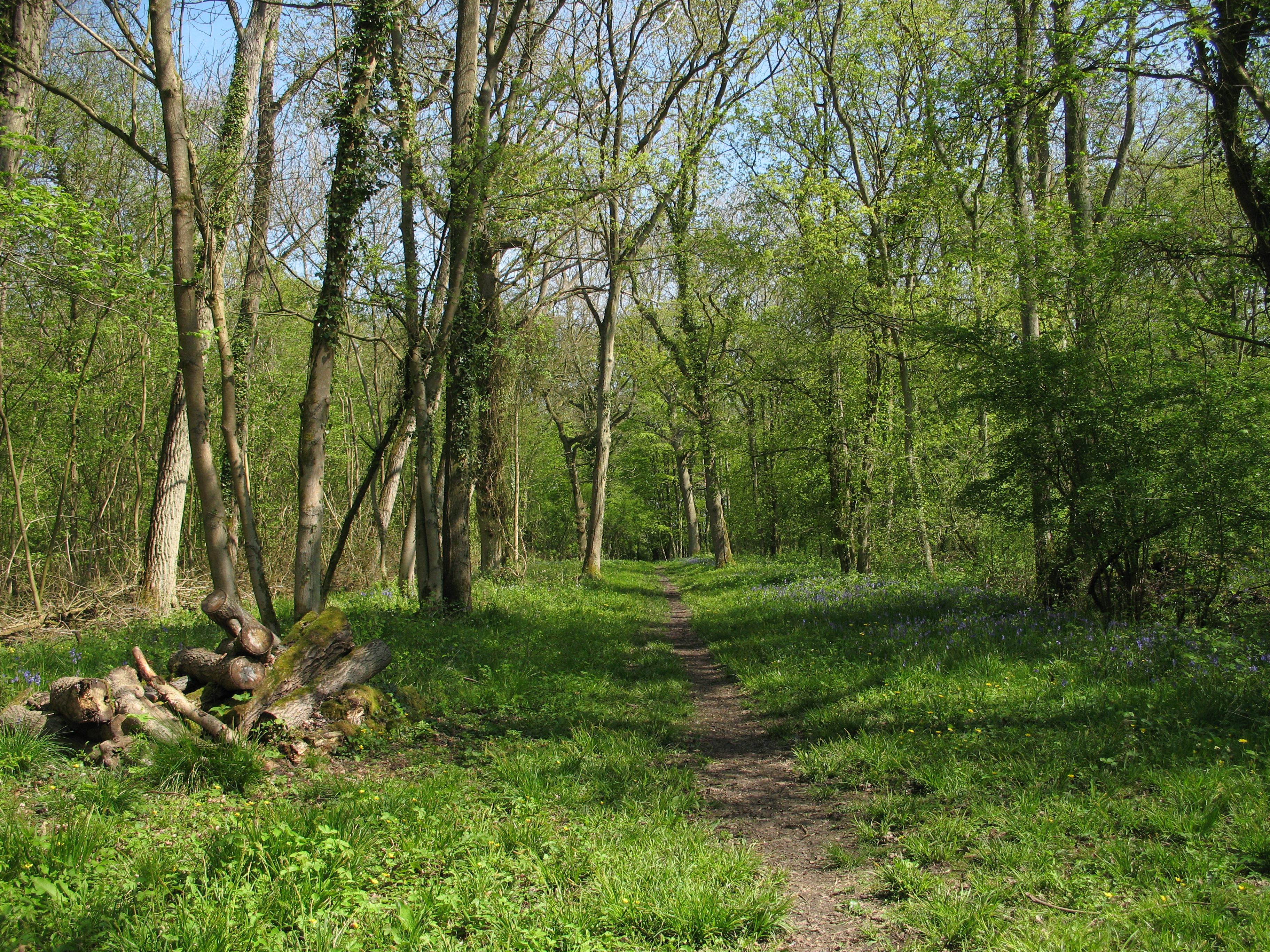
Hayley Wood

Hayley Wood is a 51.7-hectare (128-acre) biological Site of Special Scientific Interest south-east of Great Gransden in Cambridgeshire. It is a Nature...

Cockayne Hatley

Cockayne Hatley is a village and former civil parish, now in the parish of Wrestlingworth and Cockayne Hatley, in the Central Bedfordshire district of...

Little Gransden Airfield

Little Gransden Airfield (ICAO: EGMJ) is an unlicensed airfield located near the village of Little Gransden, 5 NM (9.3 km; 5.8 mi) southeast of St Neots...

Clopton, Cambridgeshire

Clopton is a deserted medieval village (DMV), about 1 mile (1.6 km) south west of the village of Croydon, Cambridgeshire, that once stood on a prominent...
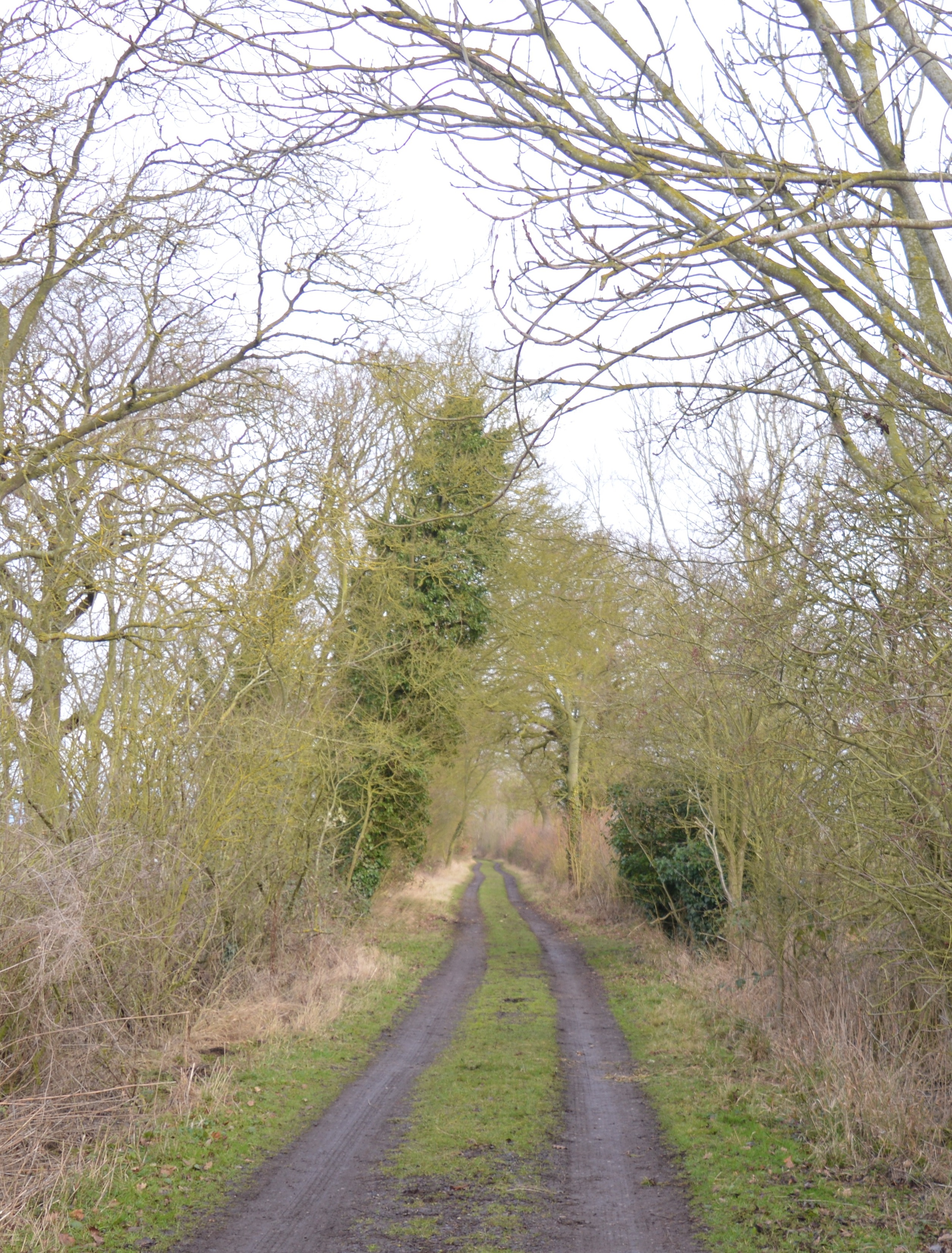
Potton Wood

Potton Wood covers an area of 85ha (211 acres) and is two miles east of the small town of Potton in the county of Bedfordshire, England. It is part of...

Nearby Amenities

Located within 500m of 52.144068,-0.126453
Hatley St George
Created By: Potlatch 0.10d
Place: village
Wikidata: Q2405354
Lat/Long: 52.1426472/-0.131649
Telephone
Booth: KX300
Covered: booth
Lat/Long: 52.1418505/-0.1272927
Post Box
Post Box Design: type_m
Post Box Type: lamp
Ref: SG19 351
Royal Cypher: EIIR
Royal Cypher Wikidata: Q33102113
Lat/Long: 52.1418896/-0.1273697
Post Office
Created By: Potlatch 0.10d
Lat/Long: 52.1436991/-0.1316938
Bus Stop
Buff Lane
Naptan AtcoCode: 0500SHATL001
Naptan Bearing: NW
Naptan BusStopType: CUS
Naptan CommonName: Buff Lane
Naptan Indicator: near
Naptan Landmark: Buff Lane
Naptan NaptanCode: cmbdwtdp
Naptan Street: Main Street
Naptan Verified: no
Source: naptan_import
Lat/Long: 52.1418482/-0.1270323
Bus Stop
Buff Lane
Naptan AtcoCode: 0500SHATL002
Naptan Bearing: SE
Naptan BusStopType: CUS
Naptan CommonName: Buff Lane
Naptan Indicator: opp
Naptan Landmark: Buff Lane
Naptan NaptanCode: cmbdwtdt
Naptan Street: Main Street
Naptan Verified: no
Source: naptan_import
Lat/Long: 52.1419012/-0.1269716
Power: pole
Lat/Long: 52.1438066/-0.1274689
Power: pole
Lat/Long: 52.144432/-0.1286383
Power: pole
Lat/Long: 52.1425888/-0.1249905
Power: pole
Lat/Long: 52.1421279/-0.1241
Power: pole
Lat/Long: 52.1412519/-0.1223083
Power: pole
Lat/Long: 52.1431992/-0.1261794
Power: pole
Lat/Long: 52.140835/-0.1215057
Power: pole
Lat/Long: 52.1417013/-0.1232069
Power: transformer
Lat/Long: 52.1426263/-0.1270469
Power: pole
Lat/Long: 52.1444516/-0.1314122
Power: pole
Lat/Long: 52.1444368/-0.1298431
Power: pole
Lat/Long: 52.1444418/-0.1306639
Bench
Lat/Long: 52.1416344/-0.1297789
Advertising: board
Lat/Long: 52.1419253/-0.127436
Defibrillator
Defibrillator Location: outside Hatley Village Hall
Emergency: defibrillator
Indoor: no
Lat/Long: 52.1410367/-0.1259347
The data included in this document is from www.openstreetmap.org. The data is made available under ODbL.

Have you been to Hatley St George?

Leave your review of Hatley St George below (or comments, questions and feedback).