Hatherton

Settlement in Staffordshire South Staffordshire

England

Hatherton

The Royal Oak public house Market Place, Cannock.
The Royal Oak public house Credit: Ian S

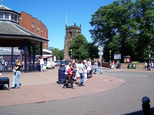
Hatherton is a small village located in the county of Staffordshire, England. Nestled in the heart of the West Midlands, it is situated approximately 4 miles southeast of Cannock and 10 miles northwest of Wolverhampton. The village is characterized by its rural charm, with picturesque landscapes and a close-knit community.

The history of Hatherton dates back to ancient times, with evidence of Roman settlements in the area. Over the years, it has evolved from an agricultural village to a residential area, with a mix of traditional cottages and modern houses. Despite its proximity to larger towns, Hatherton has managed to maintain its peaceful ambiance and tranquil atmosphere.

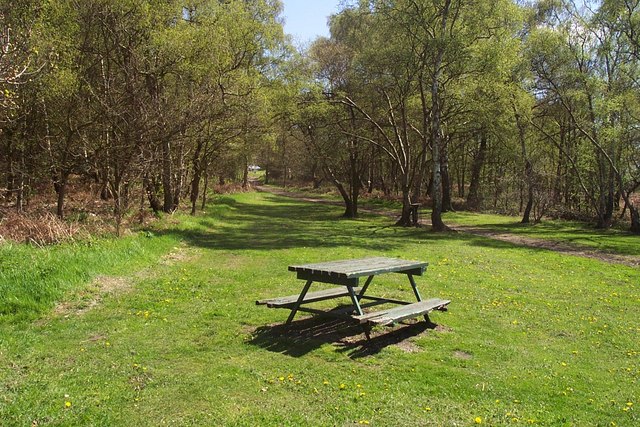
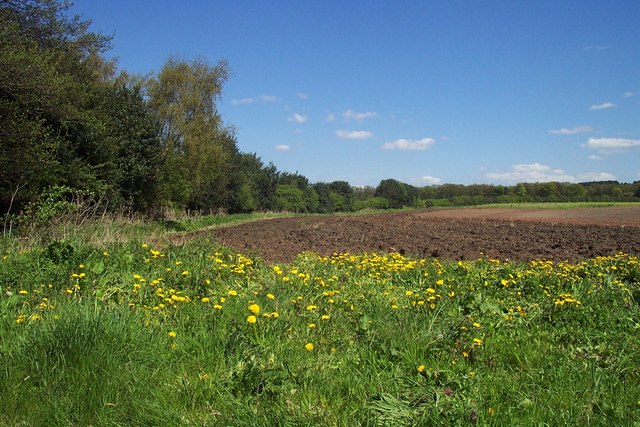
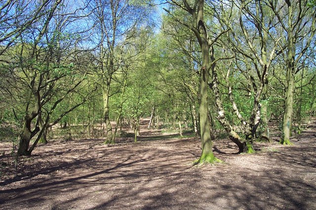
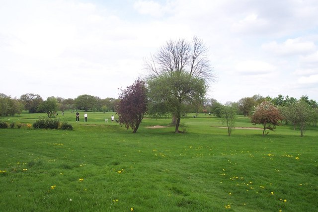
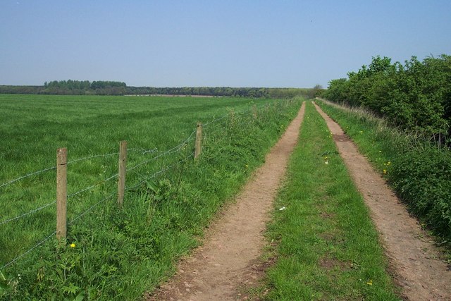
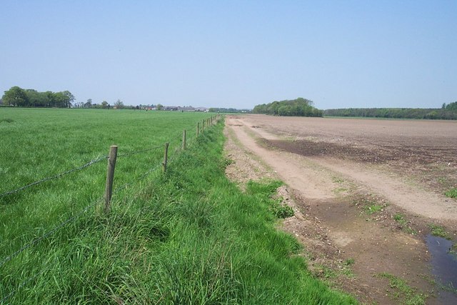
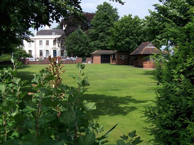
One of the notable features of Hatherton is its beautiful countryside, with rolling hills, meandering rivers, and expansive woodlands. This makes it an ideal location for outdoor enthusiasts, offering opportunities for walking, hiking, and exploring nature. The Hatherton Reservoir is a popular spot for fishing and birdwatching, attracting visitors from near and far.

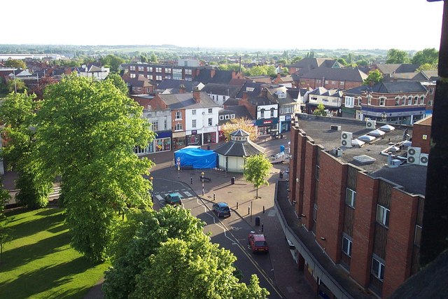
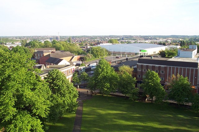
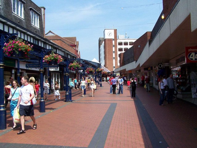
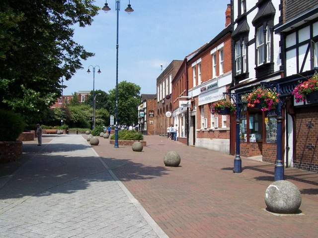
In terms of amenities, Hatherton boasts a primary school, a village hall, and a local pub, providing essential services and a sense of community. Nearby, residents can find a range of shops, supermarkets, and leisure facilities in the larger towns of Cannock and Wolverhampton.

Overall, Hatherton is a charming village that offers a peaceful and idyllic lifestyle. With its natural beauty, strong community spirit, and convenient location, it continues to be a desirable place to live in Staffordshire.

If you have any feedback on the listing, please let us know in the comments section below.
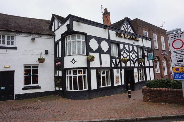
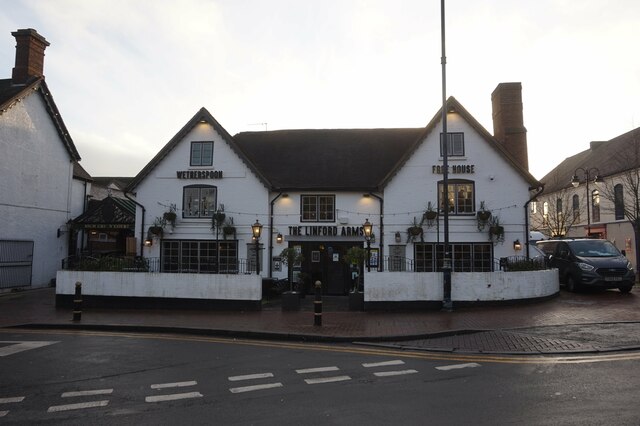
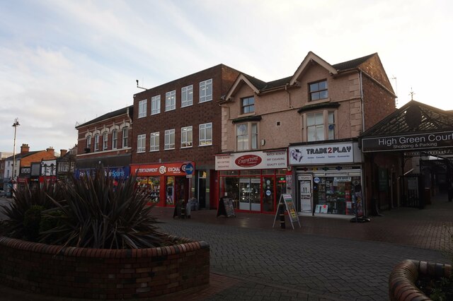
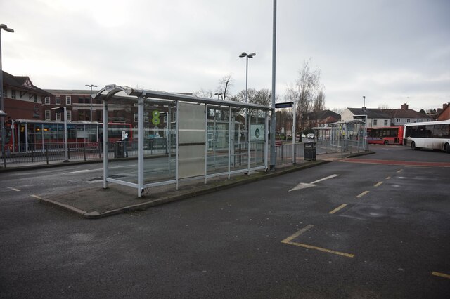
Hatherton Images

Images are sourced within 2km of 52.691381/-2.058025 or Grid Reference SJ9610. Thanks to Geograph Open Source API. All images are credited.

The Royal Oak public house Market Place, Cannock.
The Royal Oak public house
Market Place, Cannock.
The Linford Arms public house, Cannock
Shops on Wolverhampton Road, Cannock
Cannock Bus Station
Cannock Bus Station
Bench at Shoal Hill heathland
Picnic Area on Edge of Shoal Hill
Field off Sheepwash Lane
Shoal Hill
Shoal Hill
Cannock Park Golf Course
Footpath to Fullmoor
Fields near Gailey Looking NW from the footpath to Fullmoor. Gailey Lea Farm can just be seen in the distance.
Fields near Gailey
Looking NW from the footpath to Fullmoor. Gailey Lea Farm can just be seen in the distance.
View of Cannock from top of St. Luke's Church Tower
The Bowling Green There was a Bowling Green in the centre of Cannock before 1753 when a wall was built around it. It is still in regular use.

The building in the background is now part of Cannock Chase Technical College but was once the Council Building
The Bowling Green
There was a Bowling Green in the centre of Cannock before 1753 when a wall was built around it. It is still in regular use. The building in the background is now part of Cannock Chase Technical College but was once the Council Building
Cannock Conduit The building of the Conduit Head or House started in 1736. By supplying the inhabitants of Cannock with free drinking water (it was reputed to be second only to Malvern Water in quality) it kept down illness and death. The area had one of the lowest mortality rates in England at the time. Later to become a registered Charity, The Conduit Trust has served the Township of Cannock for over 200 years.

One of the original pumps can be seen to the right of the Head.

Details taken from <span class="nowrap"><a title="http://www.lhi.org.uk/projects_directory/projects_by_region/west_midlands/staffordshire/restoration_of_conduit_head_and_resiting_of_pump/conduit_trust.html" rel="nofollow ugc noopener" href="http://www.lhi.org.uk/projects_directory/projects_by_region/west_midlands/staffordshire/restoration_of_conduit_head_and_resiting_of_pump/conduit_trust.html">Link</a><img style="margin-left:2px;" alt="External link" title="External link - shift click to open in new window" src="https://s1.geograph.org.uk/img/external.png" width="10" height="10"/></span>
Cannock Conduit
The building of the Conduit Head or House started in 1736. By supplying the inhabitants of Cannock with free drinking water (it was reputed to be second only to Malvern Water in quality) it kept down illness and death. The area had one of the lowest mortality rates in England at the time. Later to become a registered Charity, The Conduit Trust has served the Township of Cannock for over 200 years. One of the original pumps can be seen to the right of the Head. Details taken from LinkExternal link
Market Hall Street, Cannock
Stafford Street, Cannock
Market Place, Cannock
Show me another place!

Hatherton is located at Grid Ref: SJ9610 (Lat: 52.691381, Lng: -2.058025)

Administrative County: Staffordshire

District: South Staffordshire

Police Authority: Staffordshire

What 3 Words

///softly.bind.pigs. Near Cannock, Staffordshire

Nearby Locations

Hatherton

Related Wikis

Hatherton, Staffordshire

Hatherton is a settlement and civil parish located 3+1⁄4 miles (5.2 km) south-east of Penkridge, and on the western edge of modern-day Cannock, Staffordshire...

Cannock Hockey Club

Cannock Hockey Club are an English professional field hockey team. They were established in 1905, and are based in the village of Hatherton, near Cannock...

Four Crosses, Staffordshire

Four Crosses in South Staffordshire, Staffordshire, England. Is a scattered hamlet located between Cannock and Wolverhampton. As well as Penkridge and...

Cardinal Griffin Catholic College

Cardinal Griffin Catholic College is a coeducational Catholic Secondary school and sixth form located in Cannock, Staffordshire, England. == History... ==

Nearby Amenities

Located within 500m of 52.691381,-2.058025
Bus Stop
Hatton Road
Bus: yes
Naptan AtcoCode: 3800C201900
Naptan Bearing: SE
Naptan CommonName: Hatton Road
Naptan Indicator: Opp
Naptan Landmark: Hatton Road
Naptan Street: Sunfield Road
Naptan Verified: no
Public Transport: platform
Source: naptan_import
Lat/Long: 52.6898737/-2.0524079
Bus Stop
Hatton Road
Bus: yes
Naptan AtcoCode: 3800C201901
Naptan Bearing: NW
Naptan CommonName: Hatton Road
Naptan Indicator: Adj
Naptan Landmark: Hatton Road
Naptan Street: Sunfield Road
Naptan Verified: no
Public Transport: platform
Source: naptan_import
Lat/Long: 52.6898175/-2.0524634
Bus Stop
Church Farm
Bus: yes
Naptan AtcoCode: 3800C611000
Naptan Bearing: NE
Naptan CommonName: Church Farm
Naptan Indicator: Adj
Naptan Landmark: Church Farm
Naptan Street: Church Lane
Naptan Verified: no
Public Transport: platform
Source: naptan_import
Lat/Long: 52.6910342/-2.0619188
Stop
Direction: backward
Lat/Long: 52.6905699/-2.0507401
Hatherton
Place: hamlet
Source: ooc.openstreetmap.org
Wikidata: Q2452333
Wikipedia: en:Hatherton, Staffordshire
Lat/Long: 52.6908653/-2.0615467
Generator Method: photovoltaic
Generator Output Electricity: yes
Generator Source: solar
Generator Type: solar_photovoltaic_panel
Location: roof
Power: generator
Lat/Long: 52.6900853/-2.0526368
Generator Method: photovoltaic
Generator Output Electricity: yes
Generator Source: solar
Generator Type: solar_photovoltaic_panel
Location: roof
Power: generator
Lat/Long: 52.6896829/-2.0517129
Generator Method: photovoltaic
Generator Output Electricity: yes
Generator Source: solar
Generator Type: solar_photovoltaic_panel
Location: roof
Power: generator
Lat/Long: 52.6892595/-2.0534362
Generator Method: photovoltaic
Generator Output Electricity: yes
Generator Source: solar
Generator Type: solar_photovoltaic_panel
Location: roof
Power: generator
Lat/Long: 52.6934415/-2.0624417
Generator Method: photovoltaic
Generator Output Electricity: yes
Generator Source: solar
Generator Type: solar_photovoltaic_panel
Location: roof
Power: generator
Lat/Long: 52.690039/-2.0525269
The data included in this document is from www.openstreetmap.org. The data is made available under ODbL.

Have you been to Hatherton?

Leave your review of Hatherton below (or comments, questions and feedback).