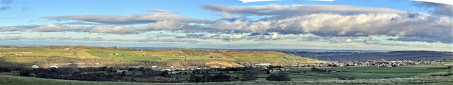
Pond Common

Downs, Moorland in Yorkshire

England

Pond Common

Stocksbridge and Hunshelf Bank Stocksbridge and Hunshelf Bank as seen from Heads Lane.
Stocksbridge and Hunshelf Bank Credit: Dave Pickersgill

The requested URL returned error: 429 Too Many Requests

If you have any feedback on the listing, please let us know in the comments section below.
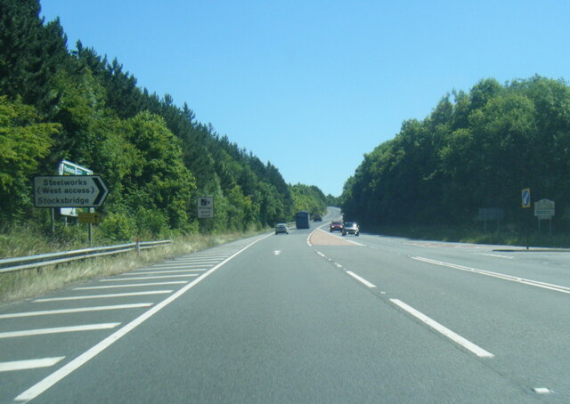
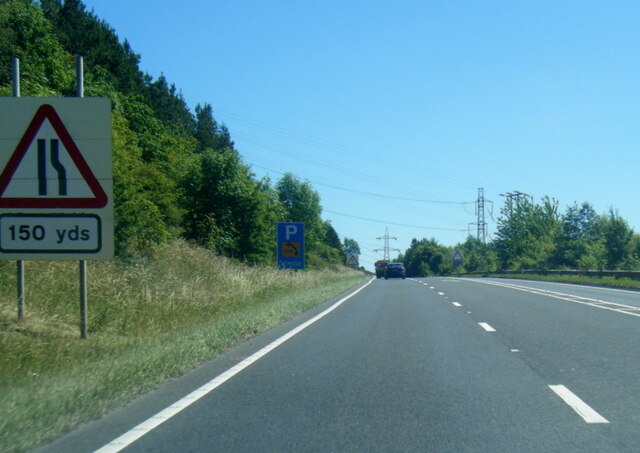
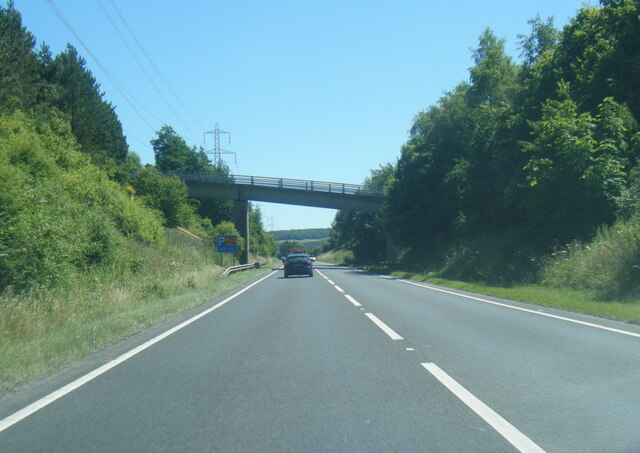
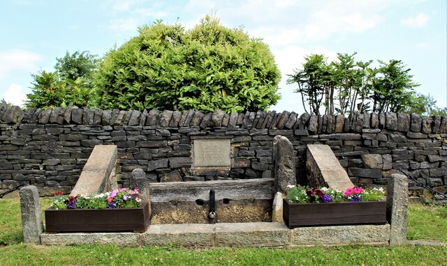
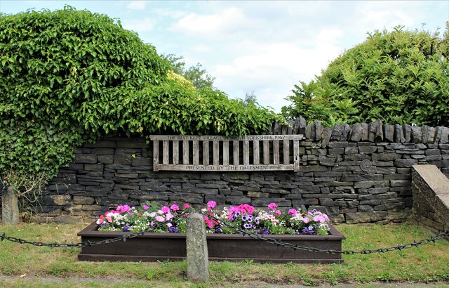
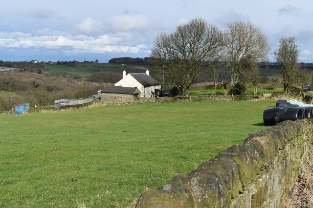
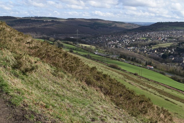
Pond Common Images

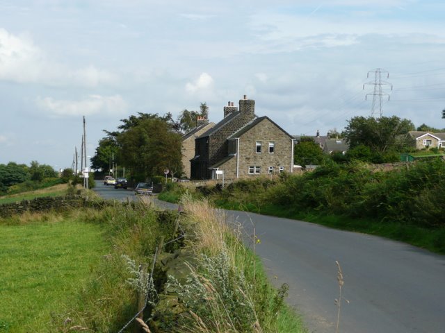
Images are sourced within 2km of 53.502576/-1.5942645 or Grid Reference SE2700. Thanks to Geograph Open Source API. All images are credited.

Stocksbridge and Hunshelf Bank Stocksbridge and Hunshelf Bank as seen from Heads Lane.
Stocksbridge and Hunshelf Bank
Stocksbridge and Hunshelf Bank as seen from Heads Lane.
A616 Stocksbridge Bypass
A616 Stocksbridge Bypass near Crimbles Farm
A616 nears Pea Royd Lane overbridge
Rainbow over Stocksbridge
The ancient stocks at Green Moor
The Best Kept Village Green Moor wins 'The Dalesman Best Kept Village' award for 1967.
The Best Kept Village
Green Moor wins 'The Dalesman Best Kept Village' award for 1967.
Stepping stones across the River Don Not passable today - high flow and some big gaps!
Stepping stones across the River Don
Not passable today - high flow and some big gaps!
Roadside daffodils at Green Moor With a wooden cart recalling the village's mining and quarrying past.
Roadside daffodils at Green Moor
With a wooden cart recalling the village's mining and quarrying past.
Field at Well Hill Top
Path into the Don Valley from Green Moor
Old Mill Lane
Old Mill Lane
Valley side below Windy Bank Hall Farm Certainly living up to its name this afternoon.
Valley side below Windy Bank Hall Farm
Certainly living up to its name this afternoon.
View down Hunshelf Bank
Houses at the top of Chapel Lane
Houses in Green Moor Road, seen across field
Footpath to Stocksbridge This path descends the valley side from Hunshelf Bank.
Footpath to Stocksbridge
This path descends the valley side from Hunshelf Bank.
Stepping Stones at Huthwaite Stepping Stones across the River Don at Huthwaite.
Stepping Stones at Huthwaite
Stepping Stones across the River Don at Huthwaite.
Show me another place!

Pond Common is located at Grid Ref: SE2700 (Lat: 53.502576, Lng: -1.5942645)

Division: West Riding

Unitary Authority: Barnsley

Police Authority: South Yorkshire

What 3 Words

///lunching.locate.officer. Near Stocksbridge, South Yorkshire

Related Wikis

Hunshelf

Hunshelf is a civil parish in the Metropolitan Borough of Barnsley. At the 2001 census it had a population of 324, reducing to 246 at the 2011 Census...

Penistone and Stocksbridge (UK Parliament constituency)

Penistone and Stocksbridge is a constituency in South Yorkshire represented in the House of Commons of the UK Parliament since 2019 by Miriam Cates, a...

Oxspring railway station

Oxspring railway station was a short lived station built by the Sheffield, Ashton-under-Lyne and Manchester Railway to serve the village of Oxspring, South...

Oxspring

Oxspring is a village and civil parish in the Metropolitan Borough of Barnsley in South Yorkshire, England. At the 2001 census it had a population of...

Nearby Amenities

Located within 500m of 53.502576,-1.5942645
Black Moor
Place: locality
Lat/Long: 53.5056373/-1.5942927
Power: pole
Lat/Long: 53.5052777/-1.588448
Power: pole
Lat/Long: 53.5014971/-1.5896554
Power: pole
Lat/Long: 53.5008866/-1.5916015
Power: pole
Lat/Long: 53.4998087/-1.5949212
Power: pole
Lat/Long: 53.4988056/-1.5957693
Power: pole
Lat/Long: 53.4993074/-1.5947224
Power: pole
Lat/Long: 53.5000208/-1.5932609
Power: pole
Lat/Long: 53.5007704/-1.5910675
Power: pole
Lat/Long: 53.5013723/-1.5893157
Power: pole
Lat/Long: 53.5018857/-1.5877908
Barrier: stile
Lat/Long: 53.500466/-1.6009244
Barrier: stile
Lat/Long: 53.5008697/-1.6007208
Barrier: stile
Lat/Long: 53.5009472/-1.6006929
Barrier: stile
Lat/Long: 53.5047642/-1.5954742
Barrier: stile
Lat/Long: 53.5005444/-1.5966477
Barrier: stile
Lat/Long: 53.4997275/-1.596933
Barrier: stile
Lat/Long: 53.5030126/-1.5979122
Barrier: stile
Lat/Long: 53.4988992/-1.5961888
Barrier: stile
Lat/Long: 53.4987962/-1.5958917
Barrier: stile
Lat/Long: 53.5004603/-1.5966527
Barrier: stile
Lat/Long: 53.5029799/-1.5960948
Barrier: stile
Lat/Long: 53.5019513/-1.5960261
Barrier: stile
Lat/Long: 53.5044772/-1.5948115
Barrier: stile
Lat/Long: 53.5058775/-1.5919144
Barrier: stile
Lat/Long: 53.5023765/-1.5892459
Power: pole
Lat/Long: 53.4998755/-1.5978182
Power: pole
Lat/Long: 53.4988089/-1.5975583
Power: pole
Lat/Long: 53.499336/-1.597669
Power: pole
Lat/Long: 53.5005791/-1.5979865
Power: pole
Lat/Long: 53.5012202/-1.5970379
Power: pole
Lat/Long: 53.501895/-1.5960764
Power: pole
Lat/Long: 53.5025434/-1.5931301
Power: pole
Lat/Long: 53.5020987/-1.5921765
Power: pole
Lat/Long: 53.5016481/-1.5912262
Power: pole
Lat/Long: 53.5016028/-1.5910389
Power: pole
Lat/Long: 53.5013028/-1.5893996
Power: pole
Lat/Long: 53.502/-1.5880583
Power: pole
Lat/Long: 53.5034314/-1.5950426
Power: pole
Lat/Long: 53.5025485/-1.5951566
Power: pole
Lat/Long: 53.5029878/-1.5940398
The data included in this document is from www.openstreetmap.org. The data is made available under ODbL.

Have you been to Pond Common?

Leave your review of Pond Common below (or comments, questions and feedback).