Acres Down
Downs, Moorland in Hampshire New Forest
England
Acres Down

Acres Down is a picturesque area located in the county of Hampshire, England. Situated amidst the stunning New Forest National Park, it is renowned for its rich biodiversity, rolling hills, and expansive moorlands. Spanning approximately 40 hectares, Acres Down boasts a diverse range of flora and fauna, making it a haven for nature enthusiasts and wildlife lovers.
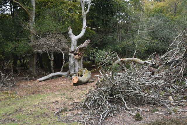
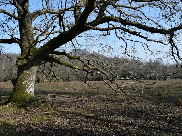
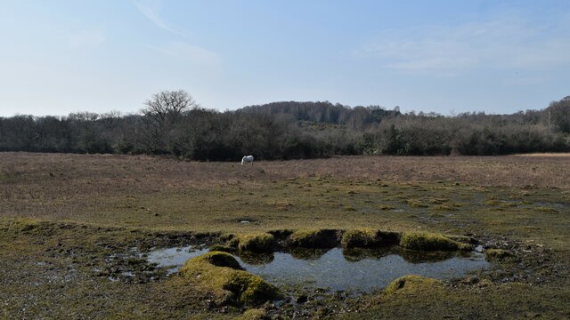
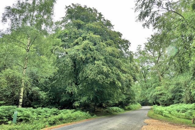
The landscape of Acres Down is characterized by open grasslands, heathland, and scattered woodlands. The area is home to a variety of plant species, including heathers, gorse, and bracken, which create a vibrant and colorful vista throughout the year. It is also known for its impressive population of New Forest ponies, which can often be spotted grazing peacefully in the meadows.
The presence of Acres Down is significant in terms of conservation efforts. The heathland and grassland habitats provide a vital ecosystem for various wildlife species, such as birds, butterflies, and reptiles. Rare species like the Dartford warbler and smooth snake have been observed in this area, making it an important site for biodiversity preservation.
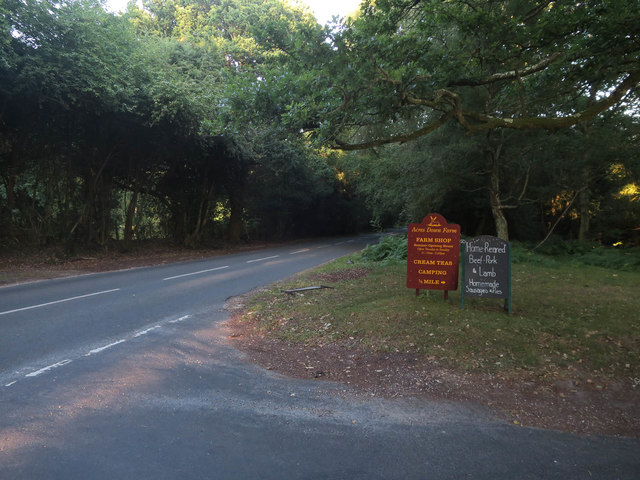
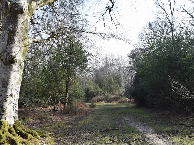
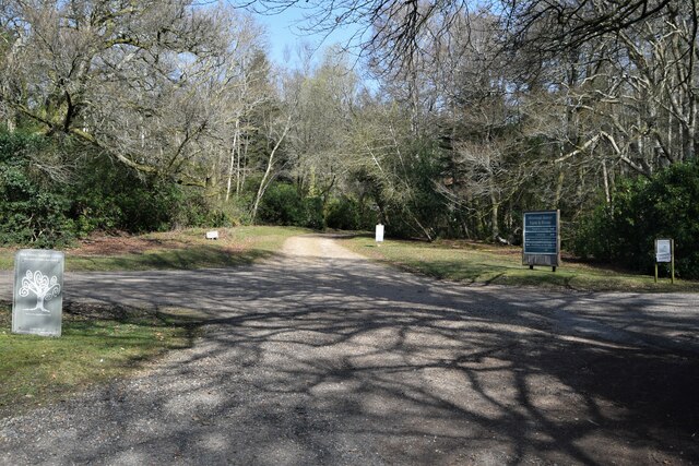
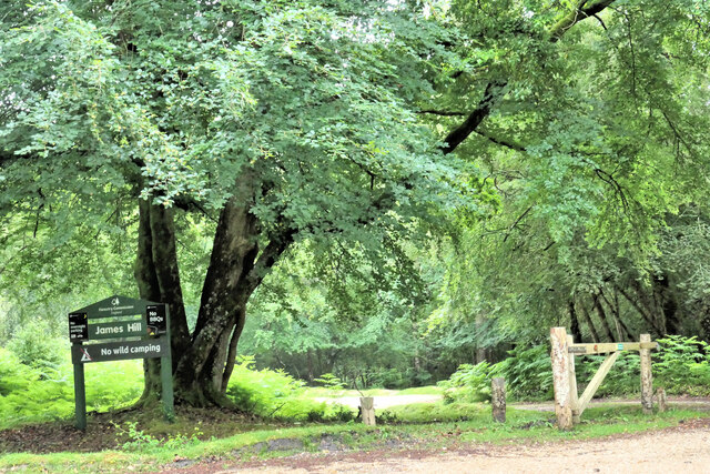
The area offers numerous walking trails and paths, allowing visitors to explore the natural beauty of the downs and moorland. The stunning views from Acres Down provide an ideal spot for photography and birdwatching. Additionally, the nearby Acres Down Farm offers visitors an opportunity to learn about local farming practices and interact with farm animals.
Overall, Acres Down in Hampshire is a captivating destination that offers a tranquil escape into nature, with its diverse landscapes, abundant wildlife, and opportunities for outdoor recreation.
If you have any feedback on the listing, please let us know in the comments section below.
Acres Down Images
Images are sourced within 2km of 50.879158/-1.6179357 or Grid Reference SU2608. Thanks to Geograph Open Source API. All images are credited.


Acres Down is located at Grid Ref: SU2608 (Lat: 50.879158, Lng: -1.6179357)
Administrative County: Hampshire
District: New Forest
Police Authority: Hampshire
What 3 Words
///hamsters.constrain.peachy. Near Lyndhurst, Hampshire
Nearby Locations
Related Wikis

New Forest District
New Forest is a local government district in Hampshire, England. Its council is based in Lyndhurst, although the largest town is Totton. The district also...

Portuguese Fireplace
The Portuguese Fireplace is a war memorial in the New Forest National Park, near the village of Lyndhurst, Hampshire, England. It is located on the road...

Emery Down
Emery Down is a small village in the New Forest National Park in Hampshire, England. Its nearest town is Lyndhurst, which lies approximately 1.4 miles...

New Forest
The New Forest is one of the largest remaining tracts of unenclosed pasture land, heathland and forest in Southern England, covering southwest Hampshire...

Christ Church, Emery Down
Christ Church is a Church of England church in Emery Down, Hampshire, England. It was designed by William Butterfield and constructed in 1863–64. The church...

Allum Green
Allum Green is a hamlet southwest of Lyndhurst, Hampshire, England. During the night of 5/6 September 1940 it was the scene of a Luftwaffe bombing raid...

Knightwood Oak
The Knightwood Oak is a pedunculate oak and the largest, and perhaps most famous, oak tree in the New Forest, in southern England. It is also known as...

Bank, Hampshire
Bank is a village in the English county of Hampshire. The settlement is within the civil parish of Lyndhurst in the New Forest, and is located approximately...
Nearby Amenities
Located within 500m of 50.879158,-1.6179357Have you been to Acres Down?
Leave your review of Acres Down below (or comments, questions and feedback).