Ramsbury Manor Park
Downs, Moorland in Wiltshire
England
Ramsbury Manor Park
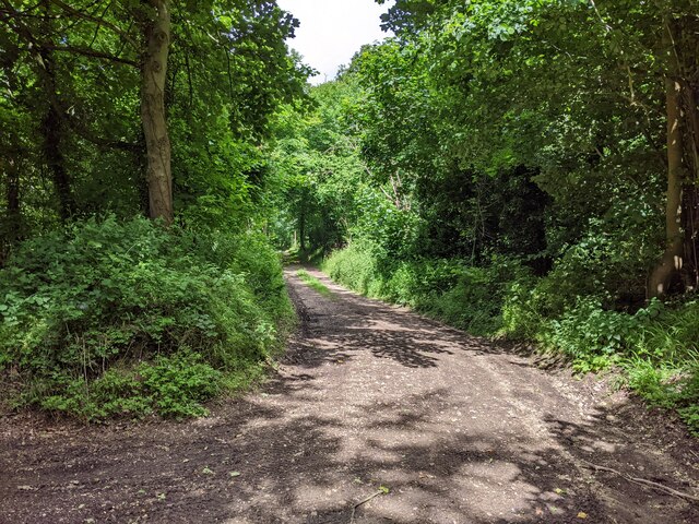
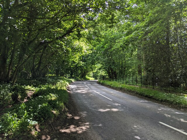
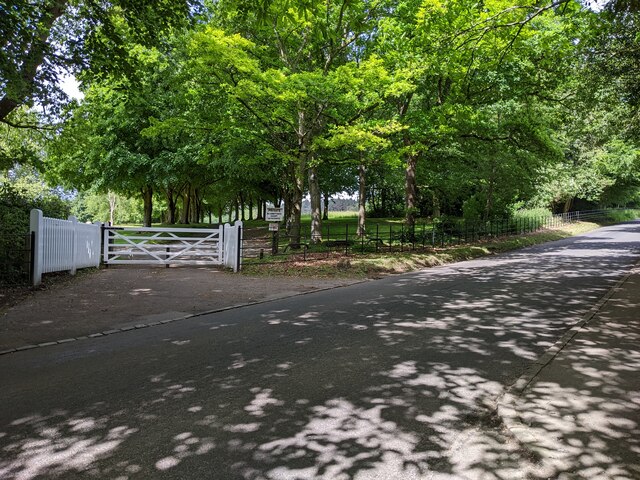
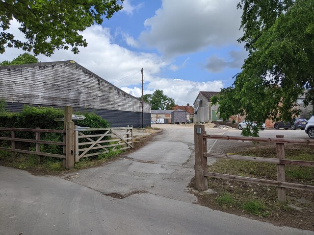
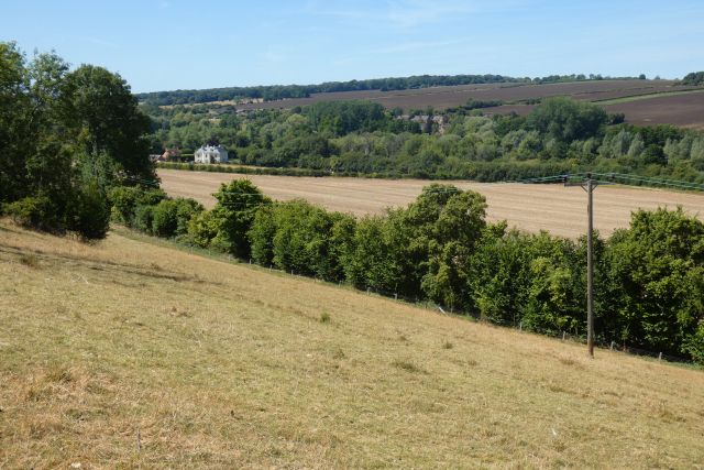
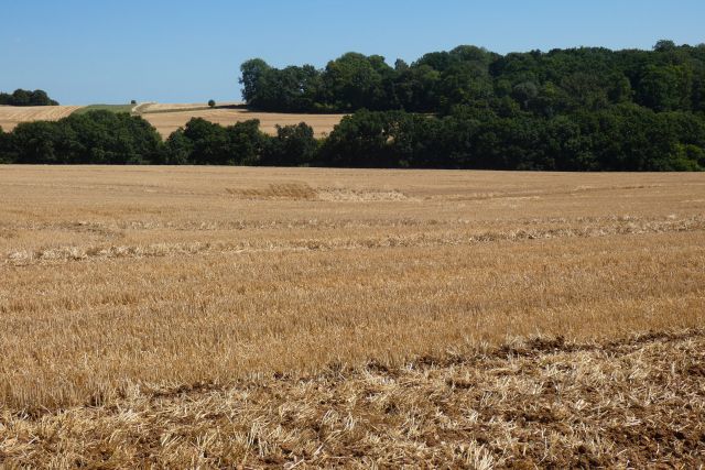
Ramsbury Manor Park is a picturesque estate located in the beautiful county of Wiltshire, England. Nestled amidst the rolling hills of the Downs and Moorland, the park covers an expansive area of lush greenery and natural beauty.
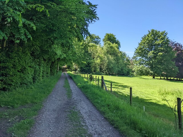
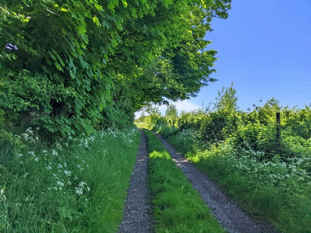
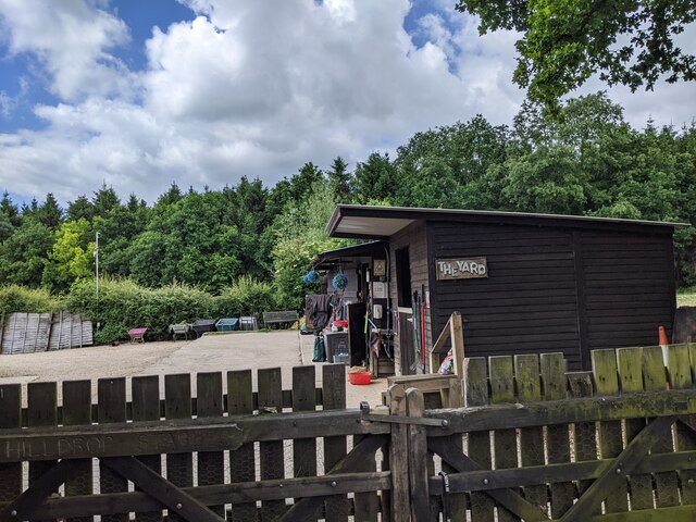
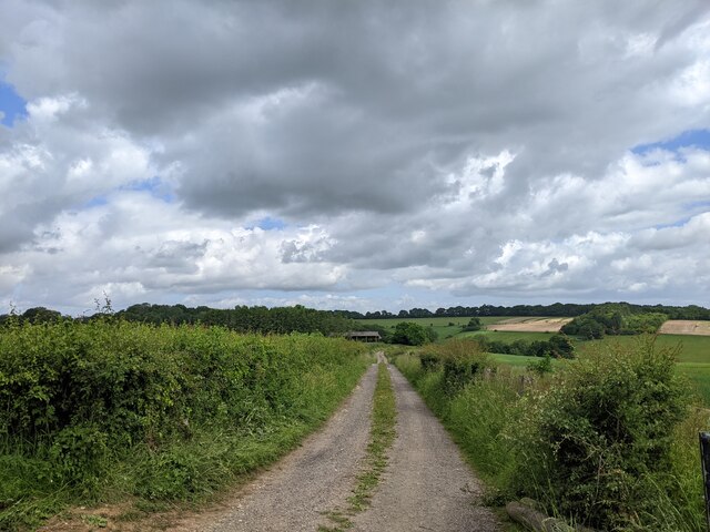
The park is renowned for its idyllic surroundings, offering visitors a peaceful retreat away from the hustle and bustle of everyday life. The well-maintained grounds are a haven for nature enthusiasts, with an abundance of wildlife and flora to be discovered.
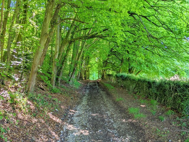
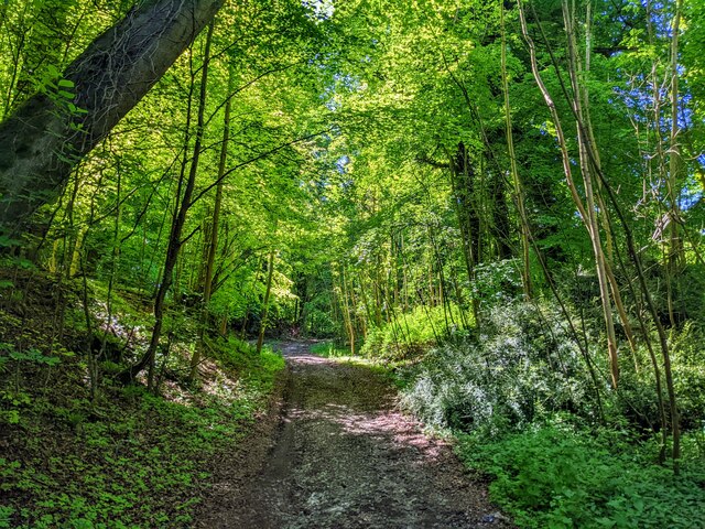
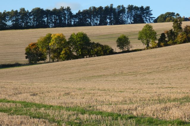
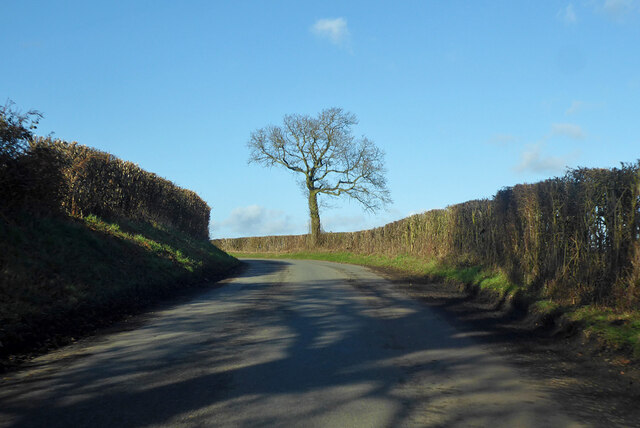
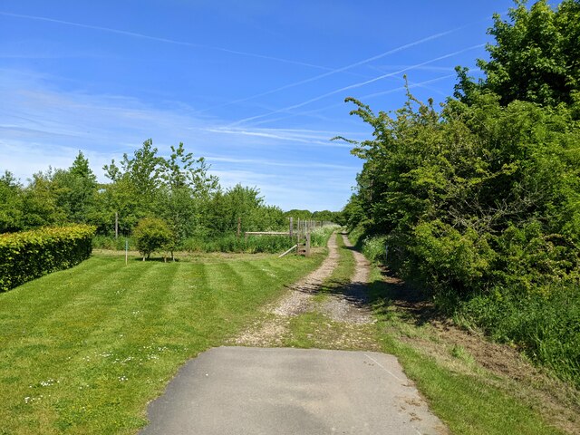
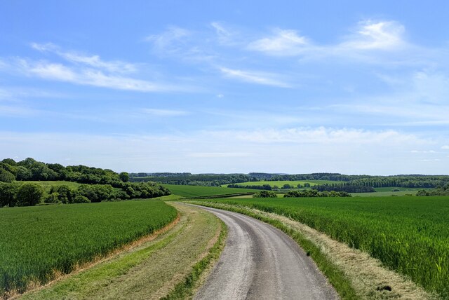
The estate features a variety of landscapes, ranging from open meadows to ancient woodlands, providing a diverse habitat for a range of species. Visitors can embark on scenic walks or gentle strolls along the numerous footpaths that crisscross the park, taking in panoramic views of the surrounding countryside.
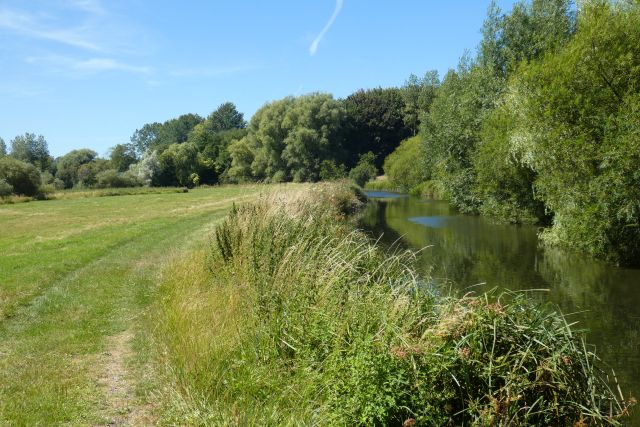
Ramsbury Manor Park is also home to a stunning lake, offering visitors the chance to relax and unwind in a tranquil setting. The lake is a popular spot for fishing, with a variety of fish species present, making it a haven for angling enthusiasts.
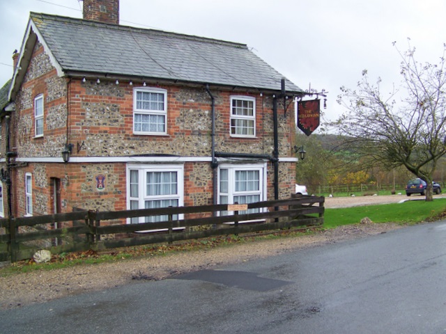
The park is steeped in history, with Ramsbury Manor itself dating back to the 17th century. The manor is a fine example of Georgian architecture and is a Grade II listed building. It adds to the charm and character of the park, providing a glimpse into the rich heritage of the area.
Overall, Ramsbury Manor Park is a hidden gem in the heart of Wiltshire, offering visitors the opportunity to immerse themselves in nature and history. Whether it's exploring the diverse landscapes, fishing in the lake, or simply enjoying a leisurely walk, the park provides a truly enchanting experience for all who visit.
If you have any feedback on the listing, please let us know in the comments section below.
Ramsbury Manor Park Images
Images are sourced within 2km of 51.436382/-1.6278532 or Grid Reference SU2570. Thanks to Geograph Open Source API. All images are credited.
Ramsbury Manor Park is located at Grid Ref: SU2570 (Lat: 51.436382, Lng: -1.6278532)
Unitary Authority: Wiltshire
Police Authority: Wiltshire
What 3 Words
///inherit.binds.thousands. Near Ramsbury, Wiltshire
Nearby Locations
Related Wikis

Ramsbury Manor
Ramsbury Manor is a Grade I listed country house at Ramsbury, Wiltshire, on the River Kennet between Hungerford and Marlborough, in the south of England...
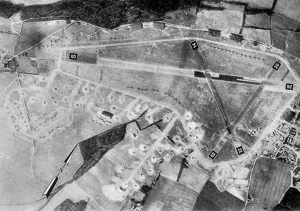
RAF Ramsbury
Royal Air Force Ramsbury or more simply RAF Ramsbury is a former Royal Air Force station, 5 miles (8 km) east-northeast of Marlborough, Wiltshire, England...
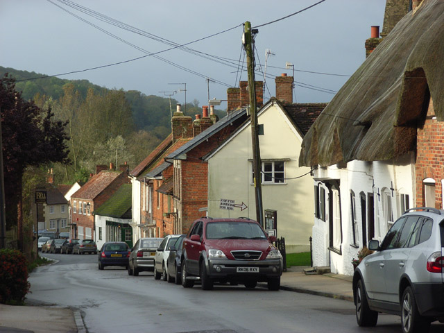
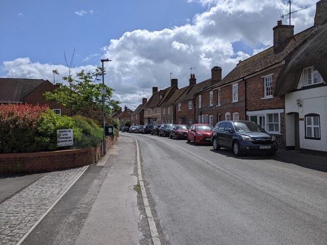
Ramsbury
Ramsbury is a village and civil parish in the English county of Wiltshire. The village is in the Kennet Valley near the Berkshire boundary. The nearest...

Ramsbury Rural District
Ramsbury was a rural district in Wiltshire, England from 1894 to 1934 around the village of Ramsbury. It was formed under the Local Government Act 1894...
Axford, Wiltshire
Axford is a small village in Ramsbury parish in the English county of Wiltshire. It lies on the north bank of the River Kennet, about 3 miles (4.8 km)...

Littlecote House
Littlecote House is a large Elizabethan country house and estate in the civil parishes of Ramsbury and Chilton Foliat, in the English county of Wiltshire...

Cunetio
Cunetio was a large walled town in a valley of the River Kennet in modern-day Wiltshire, England. The settlement was occupied from the 2nd century CE by...

Froxfield
Froxfield is a village and civil parish in the English county of Wiltshire. The parish is on the Wiltshire-West Berkshire border, and the village lies...
Nearby Amenities
Located within 500m of 51.436382,-1.6278532Have you been to Ramsbury Manor Park?
Leave your review of Ramsbury Manor Park below (or comments, questions and feedback).