Wilderness

Wood, Forest in Wiltshire

England

Wilderness

Track through The Plantation This gravel track with a fairly steep gradient, is through "The Plantation" woods near Ramsbury Manor Park.
Track through The Plantation Credit: Andrew Haynes

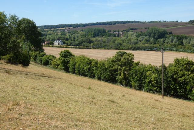
Wilderness is a quaint village located in the county of Wiltshire, England. Nestled amidst the picturesque countryside, Wilderness is known for its lush woodlands and enchanting forests that surround the area. The village is situated in close proximity to the larger towns of Salisbury and Warminster, providing easy access to modern amenities while still retaining its peaceful and idyllic charm.

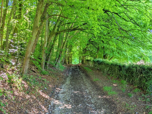
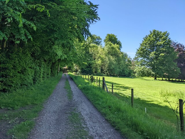
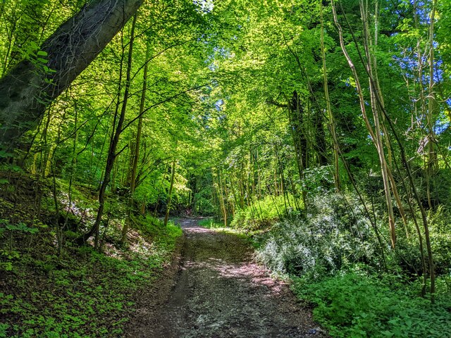
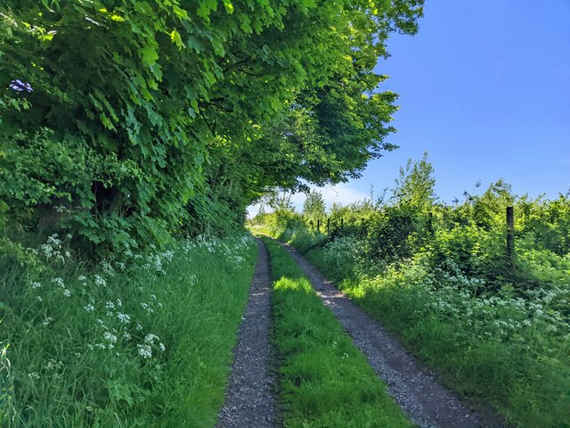
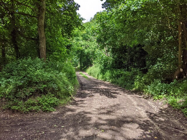
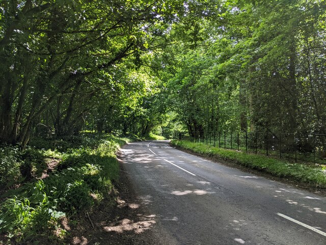
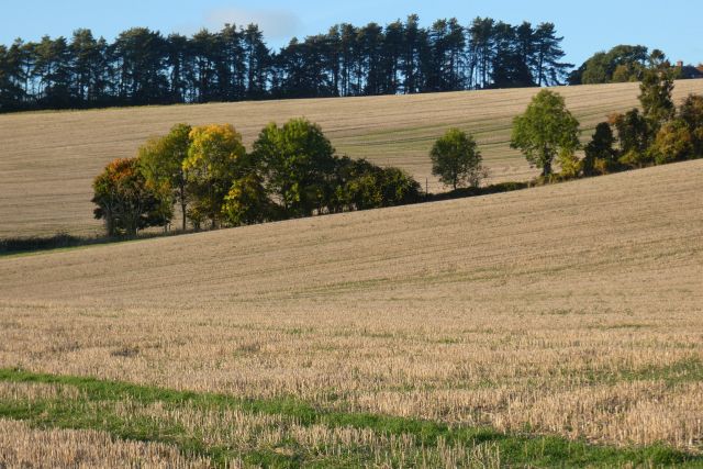
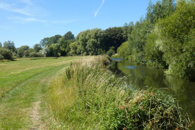
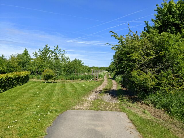
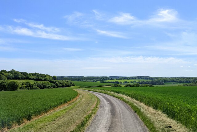
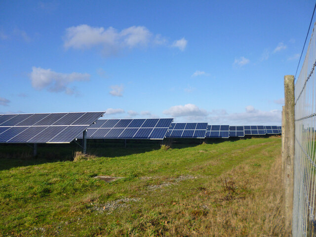
The woodlands of Wilderness are a prominent feature of the village, offering residents and visitors alike a serene environment for leisurely walks and outdoor activities. The forested areas are home to a diverse range of flora and fauna, with ancient trees and vibrant wildflowers dotting the landscape. Nature enthusiasts will appreciate the abundance of wildlife, including deer, squirrels, and numerous bird species that call the woodland home.

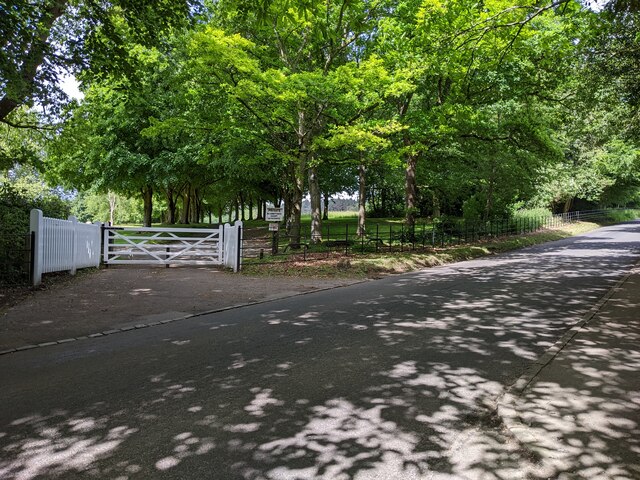
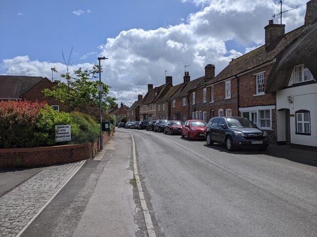
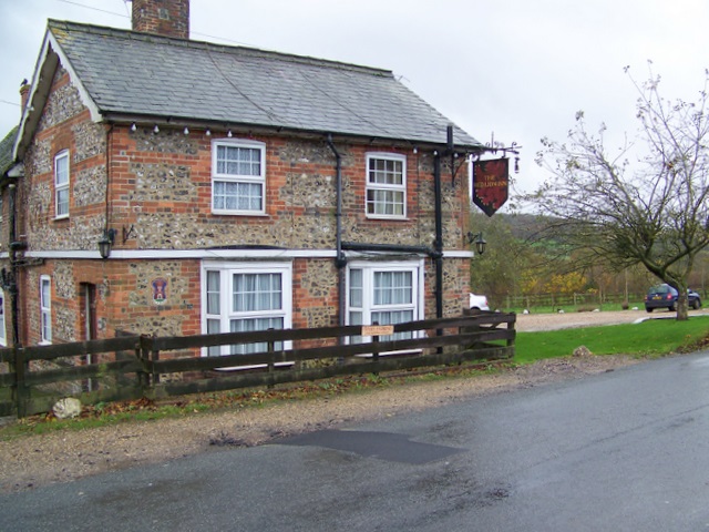
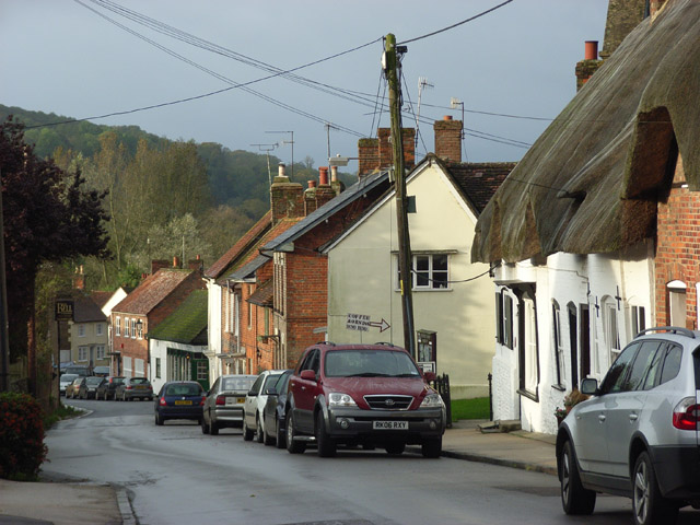
The village itself exudes a traditional English countryside charm, with charming cottages and historic buildings lining the streets. The local community is tight-knit, and the village hosts various events and festivals throughout the year, providing a sense of camaraderie and community spirit.

For those seeking a tranquil retreat, Wilderness is an ideal destination. The village offers a peaceful escape from the hustle and bustle of city life, allowing visitors to immerse themselves in the beauty of nature. Whether it is exploring the woodlands, enjoying a picnic by a babbling brook, or simply taking in the stunning scenery, Wilderness offers a truly enchanting experience for all who visit.

If you have any feedback on the listing, please let us know in the comments section below.
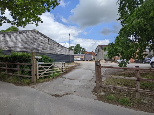
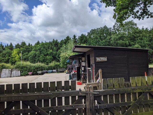
Wilderness Images

Images are sourced within 2km of 51.434088/-1.6334534 or Grid Reference SU2570. Thanks to Geograph Open Source API. All images are credited.

Track through The Plantation This gravel track with a fairly steep gradient, is through "The Plantation" woods near Ramsbury Manor Park.
Track through The Plantation
This gravel track with a fairly steep gradient, is through "The Plantation" woods near Ramsbury Manor Park.
Track through The Plantation This gravel track with a fairly steep gradient, is through "The Plantation" woods near Ramsbury Manor Park.
Track through The Plantation
This gravel track with a fairly steep gradient, is through "The Plantation" woods near Ramsbury Manor Park.
Track through The Plantation This gravel track with a fairly steep gradient, is through "The Plantation" woods near Ramsbury Manor Park.
Track through The Plantation
This gravel track with a fairly steep gradient, is through "The Plantation" woods near Ramsbury Manor Park.
Track near The Plantation This gravel track is very near "The Plantation" woodland, between Park Farm and River Kennet.
Track near The Plantation
This gravel track is very near "The Plantation" woodland, between Park Farm and River Kennet.
Track leaving the road heading west
Road heading toward Ramsbury
Side entrance to Ramsbury Manor House
Houses and cars in Ramsbury
Hilldrop Farm yard
Hilldrop Farm yard
The Yard at Hilldrop Farm
Farmland, Ramsbury Stubble on the hillside to the east of the Axford to Aldbourne road.
Farmland, Ramsbury
Stubble on the hillside to the east of the Axford to Aldbourne road.
River Kennet, Ramsbury
Gravel track to The Plantation wood Surfaced road transition to gravel track towards The Plantation woodland.
Gravel track to The Plantation wood
Surfaced road transition to gravel track towards The Plantation woodland.
Singletrack road towards A4 main road Narrow road through farmland with a distant vista looking south.  Eventually reaches A4 road junction.
Singletrack road towards A4 main road
Narrow road through farmland with a distant vista looking south. Eventually reaches A4 road junction.
Farmland, Ramsbury
Farmland, Ramsbury
Farmland, Ramsbury
Farmland, Ramsbury
Rudge solar farm
Rudge solar farm
Road towards Ramsbury
Show me another place!

Wilderness is located at Grid Ref: SU2570 (Lat: 51.434088, Lng: -1.6334534)

Unitary Authority: Wiltshire

Police Authority: Wiltshire

What 3 Words

///marinated.functions.fortress. Near Ramsbury, Wiltshire

Related Wikis

Ramsbury Manor

Ramsbury Manor is a Grade I listed country house at Ramsbury, Wiltshire, on the River Kennet between Hungerford and Marlborough, in the south of England...
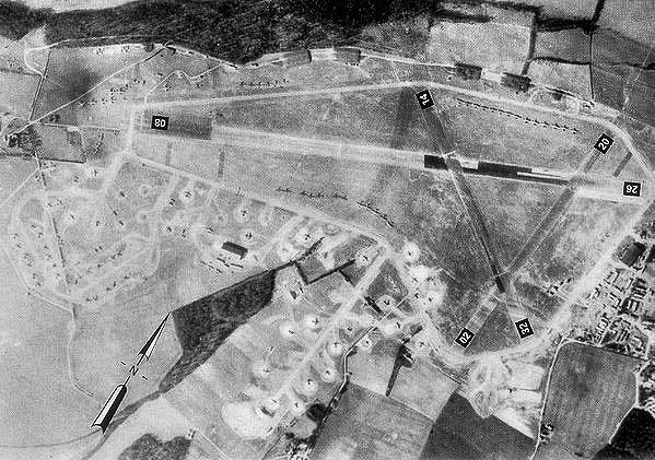
RAF Ramsbury

Royal Air Force Ramsbury or more simply RAF Ramsbury is a former Royal Air Force station, 5 miles (8 km) east-northeast of Marlborough, Wiltshire, England...

Axford, Wiltshire

Axford is a small village in Ramsbury parish in the English county of Wiltshire. It lies on the north bank of the River Kennet, about 3 miles (4.8 km)...

Ramsbury

Ramsbury is a village and civil parish in the English county of Wiltshire. The village is in the Kennet Valley near the Berkshire boundary. The nearest...

Nearby Amenities

Located within 500m of 51.434088,-1.6334534
Material: wood
Power: pole
Lat/Long: 51.4324542/-1.6301072
Power: pole
Lat/Long: 51.4329508/-1.6291121
Power: pole
Lat/Long: 51.4334173/-1.6281679
Power: pole
Lat/Long: 51.4346296/-1.6265532
Waterway: weir
Lat/Long: 51.4326247/-1.6364425
Material: wood
Power: pole
Lat/Long: 51.4301481/-1.6347823
Material: wood
Power: pole
Lat/Long: 51.431302/-1.6324648
Material: wood
Power: pole
Lat/Long: 51.4307451/-1.633594
Material: wood
Power: pole
Lat/Long: 51.4318789/-1.6313034
Power: pole
Lat/Long: 51.4340243/-1.6273874
The data included in this document is from www.openstreetmap.org. The data is made available under ODbL.

Have you been to Wilderness?

Leave your review of Wilderness below (or comments, questions and feedback).