Armscote Fields
Downs, Moorland in Warwickshire Stratford-on-Avon
England
Armscote Fields
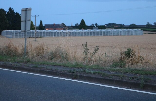
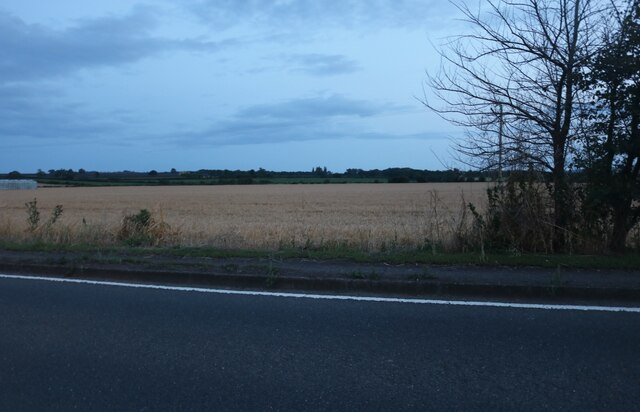
Armscote Fields is a picturesque area located in Warwickshire, England, known for its stunning downs and moorland landscapes. Spanning over a vast area, it offers visitors a tranquil escape into nature's beauty. The fields are situated in close proximity to the charming village of Armscote, adding to its appeal for both locals and tourists alike.
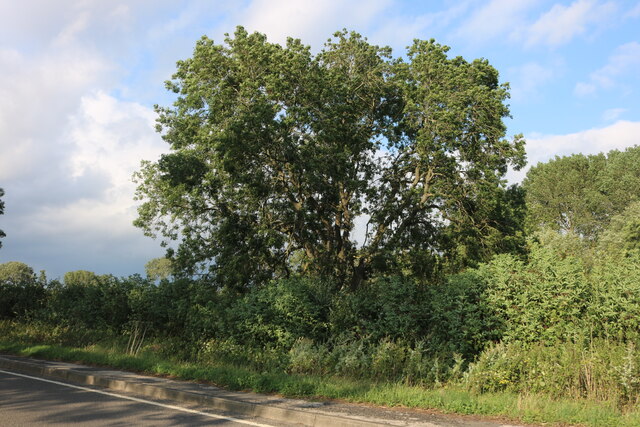
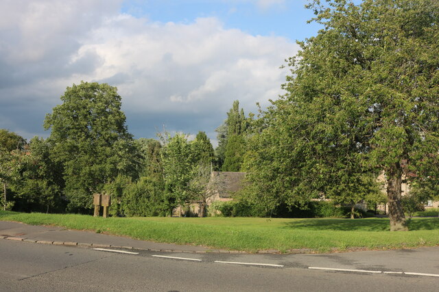
The downs of Armscote Fields are characterized by rolling hills covered in lush green grass, providing breathtaking panoramic views of the surrounding countryside. This area is ideal for leisurely walks and hiking, allowing visitors to immerse themselves in the serene atmosphere while enjoying the tranquil sounds of nature. The downs also serve as a natural habitat for a variety of wildlife, making it a haven for nature enthusiasts and birdwatchers.
Adjacent to the downs, the moorland of Armscote Fields presents a more rugged and wild landscape. Here, visitors can explore acres of heather-covered terrain, interspersed with small streams and rocky outcrops. The moorland is particularly beautiful during the summer months when the purple heather blooms, adding a vibrant splash of color to the scenery.
Armscote Fields also boasts several well-maintained footpaths and trails that allow visitors to explore the area at their leisure. These paths lead through both the downs and moorland, offering a diverse range of experiences for outdoor enthusiasts. Whether it's a leisurely stroll, a challenging hike, or a peaceful picnic, Armscote Fields is a destination that caters to all.
Overall, Armscote Fields in Warwickshire is a nature lover's paradise, offering a stunning combination of downs and moorland landscapes. With its picturesque scenery, diverse wildlife, and well-maintained trails, it is a must-visit destination for anyone seeking a peaceful and rejuvenating experience in the heart of the English countryside.
If you have any feedback on the listing, please let us know in the comments section below.
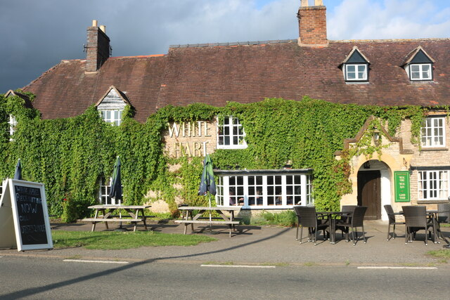
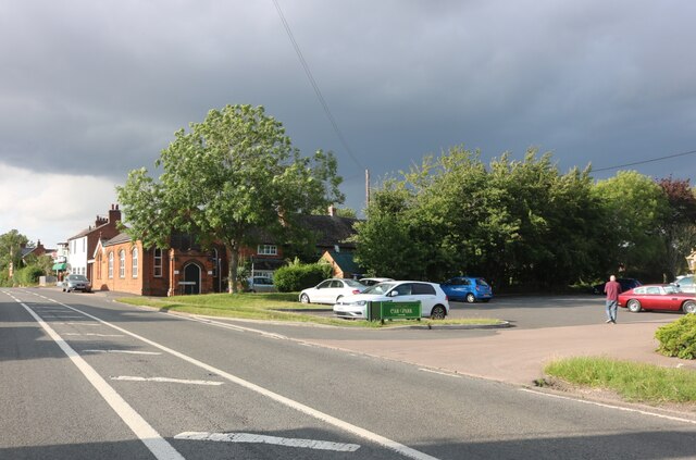
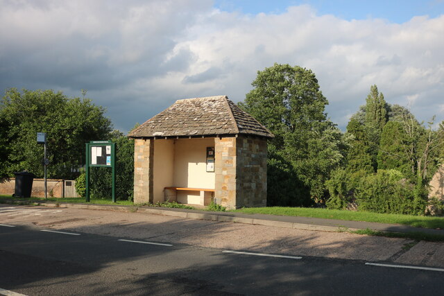
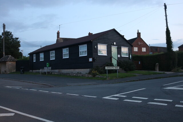
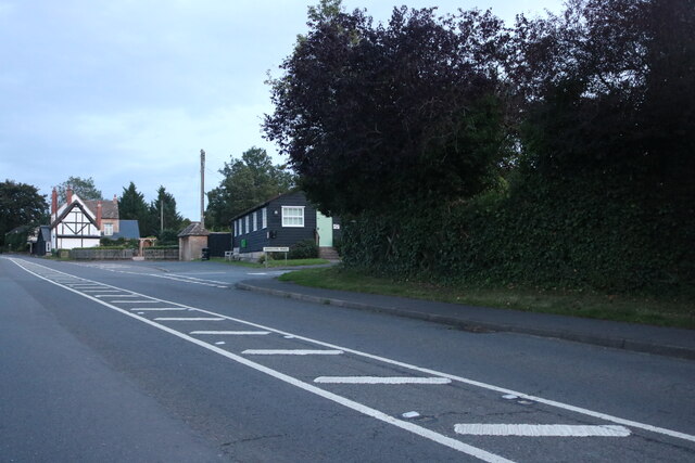
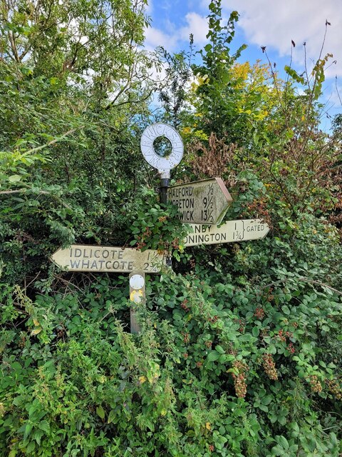
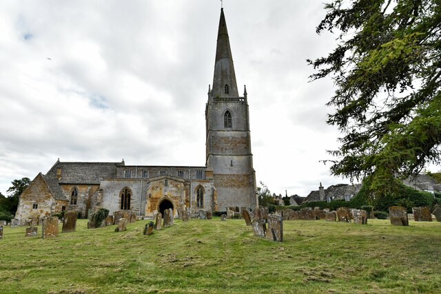
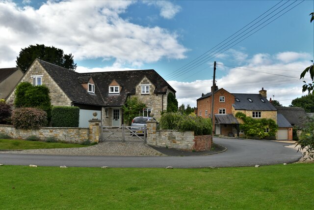
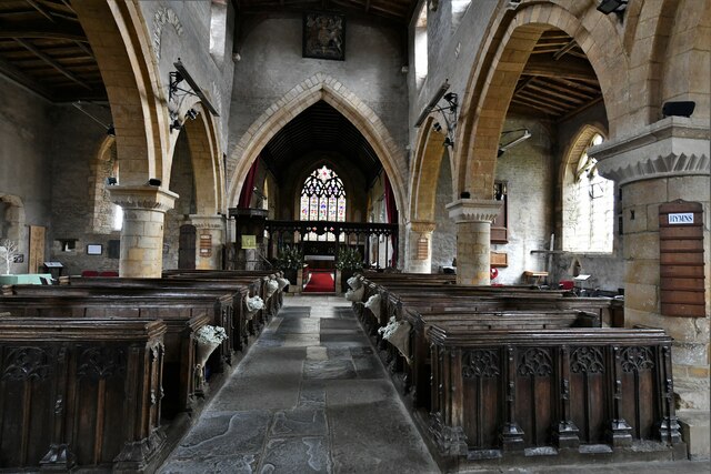
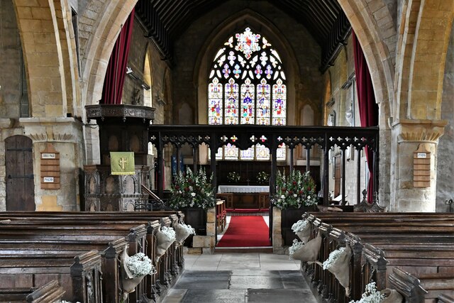
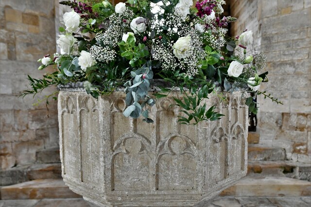
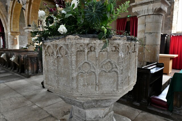
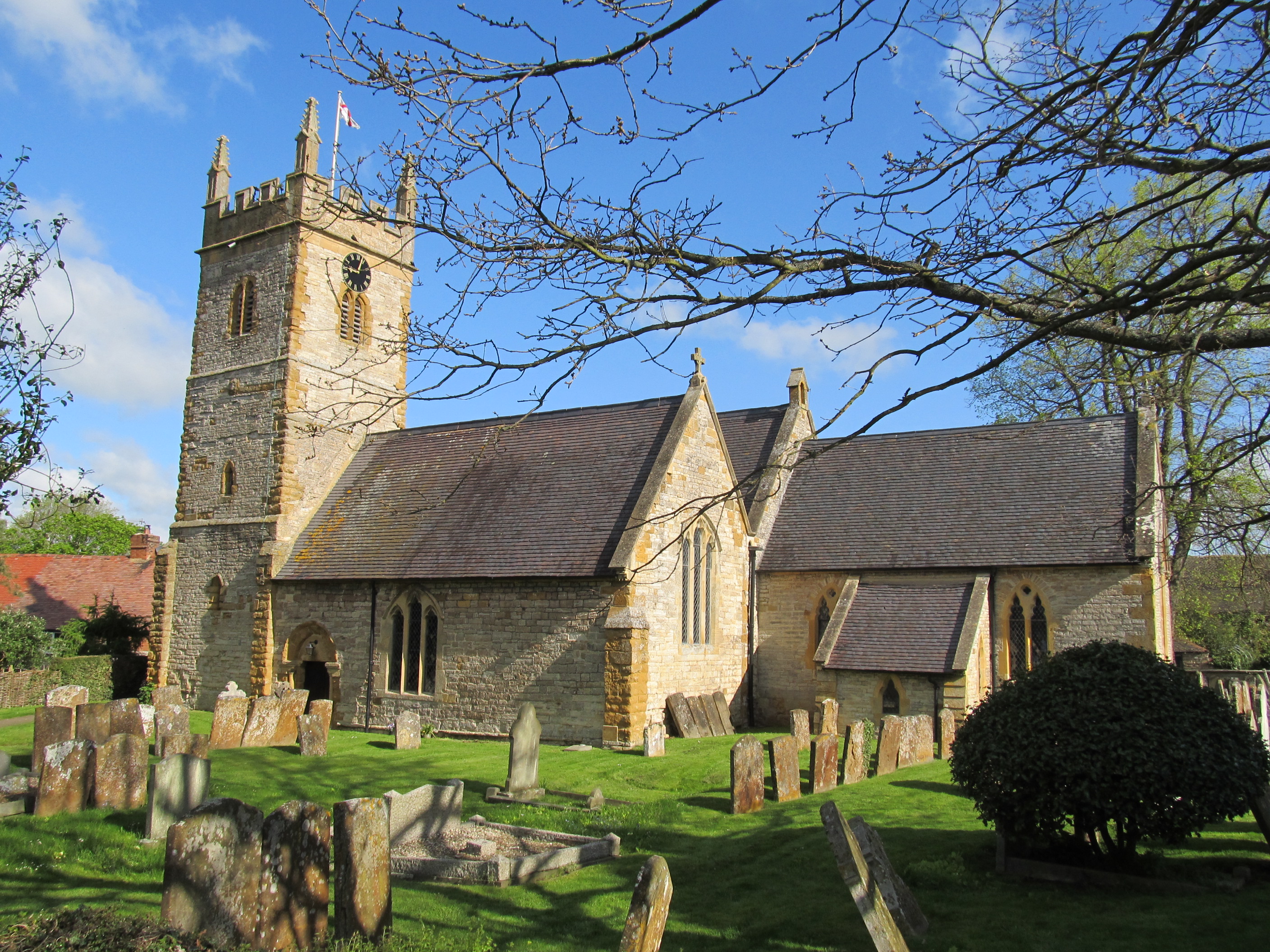
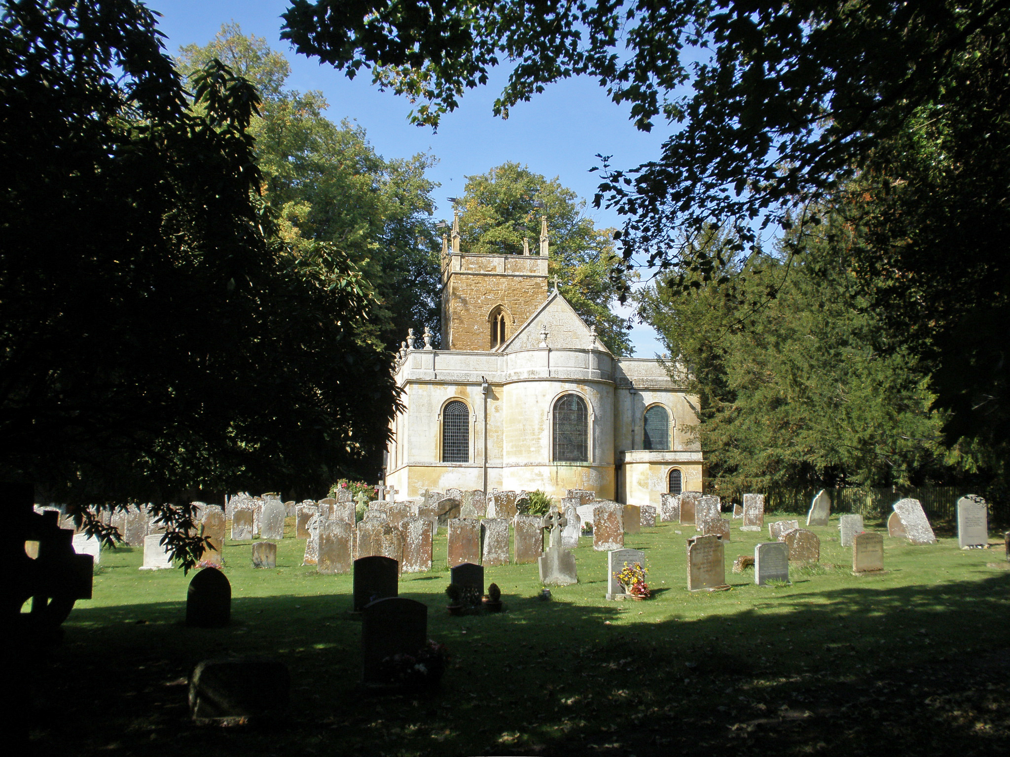
Armscote Fields Images
Images are sourced within 2km of 52.10162/-1.6239956 or Grid Reference SP2544. Thanks to Geograph Open Source API. All images are credited.
Armscote Fields is located at Grid Ref: SP2544 (Lat: 52.10162, Lng: -1.6239956)
Administrative County: Warwickshire
District: Stratford-on-Avon
Police Authority: Warwickshire
What 3 Words
///workflow.concluded.that. Near Eattington, Warwickshire
Nearby Locations
Related Wikis
Halford, Warwickshire
Halford is a village and civil parish about 3 miles (5 km) north of Shipston-on-Stour in Warwickshire, England. The village is where the Fosse Way Roman...

Tredington, Warwickshire
Tredington is a village and civil parish on the River Stour in Warwickshire, England. The village is 2 miles (3 km) north of Shipston-on-Stour. The civil...

Armscote
Armscote is a small village, some three miles north of Shipston-on-Stour in Warwickshire, England. It is located a mile off the A429 road which is the...
Newbold on Stour
Newbold on Stour is a village in Warwickshire about 6 miles (10 km) south of Stratford upon Avon. Population details are included within Tredington. The...

Honington Hall
Honington Hall is a privately owned 17th century country house at Honington, near Stratford on Avon, Warwickshire. It has Grade I listed building status...
Honington, Warwickshire
Honington, Warwickshire is a hamlet and civil parish in the Stratford-on-Avon District of Warwickshire, England. It is in the Brailes division of the hundred...

Idlicote
Idlicote is a small settlement and civil parish in the English county of Warwickshire, about 3 miles (5 km) north-east of Shipston-on-Stour and 8 miles...

Ettington Park Hotel
Ettington Park, Ettington, Warwickshire, England is a 19th-century country house with earlier origins. The historic home of the Shirley family, whose ownership...
Nearby Amenities
Located within 500m of 52.10162,-1.6239956Have you been to Armscote Fields?
Leave your review of Armscote Fields below (or comments, questions and feedback).