Moor Park

Downs, Moorland in Yorkshire Harrogate

England

Moor Park

Crags next to the footpath A tree grows from a cleft in the Gritstone crags just East of Springhill Farm, taken from the footpath to Beckwithshaw.
Crags next to the footpath Credit: Mick Melvin

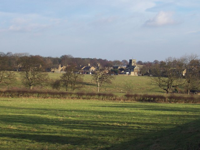
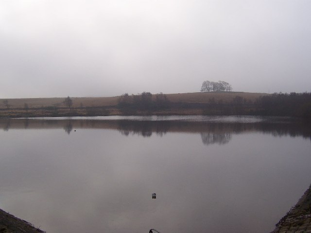
Moor Park is a picturesque area situated in the county of Yorkshire, England. It is renowned for its stunning landscape, comprised of rolling hills, lush downs, and vast expanses of moorland. The region spans over several thousand acres, offering visitors ample opportunity to immerse themselves in the beauty of nature.

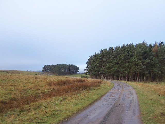
The landscape of Moor Park is characterized by its gently undulating hills, covered in a patchwork of vibrant green grasslands and heather moorland. The area is home to a diverse array of flora and fauna, including rare species such as curlews, lapwings, and skylarks. The moorland is particularly noteworthy for its unique ecosystem, featuring an array of heather, bilberry, and cotton grass.

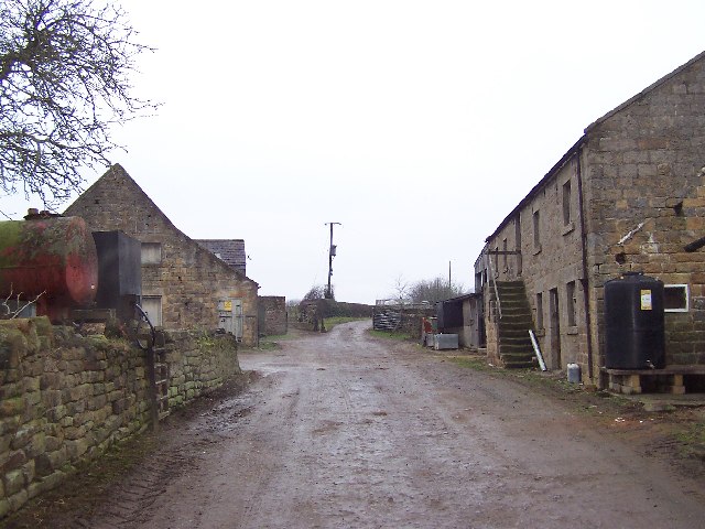
Aside from its natural beauty, Moor Park also boasts a rich historical heritage. The region was once a hunting ground for the nobility, and remnants of ancient hunting lodges can still be found scattered across the landscape. The area is also home to several archaeological sites, including burial mounds and stone circles, providing insights into the lives of the people who inhabited the area in the past.

Moor Park offers a range of activities for visitors to enjoy. Hiking and nature walks are popular choices, allowing visitors to explore the stunning scenery and observe the local wildlife. Additionally, the area is a haven for birdwatchers and photographers, who are drawn to the unique avian species and breathtaking vistas.

In conclusion, Moor Park in Yorkshire is a captivating destination that offers a blend of natural beauty and historical significance. Its rolling hills, moorland, and downs make it a haven for nature enthusiasts, providing a tranquil escape from the bustle of modern life.

If you have any feedback on the listing, please let us know in the comments section below.

Moor Park Images

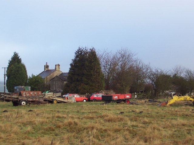
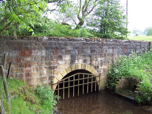
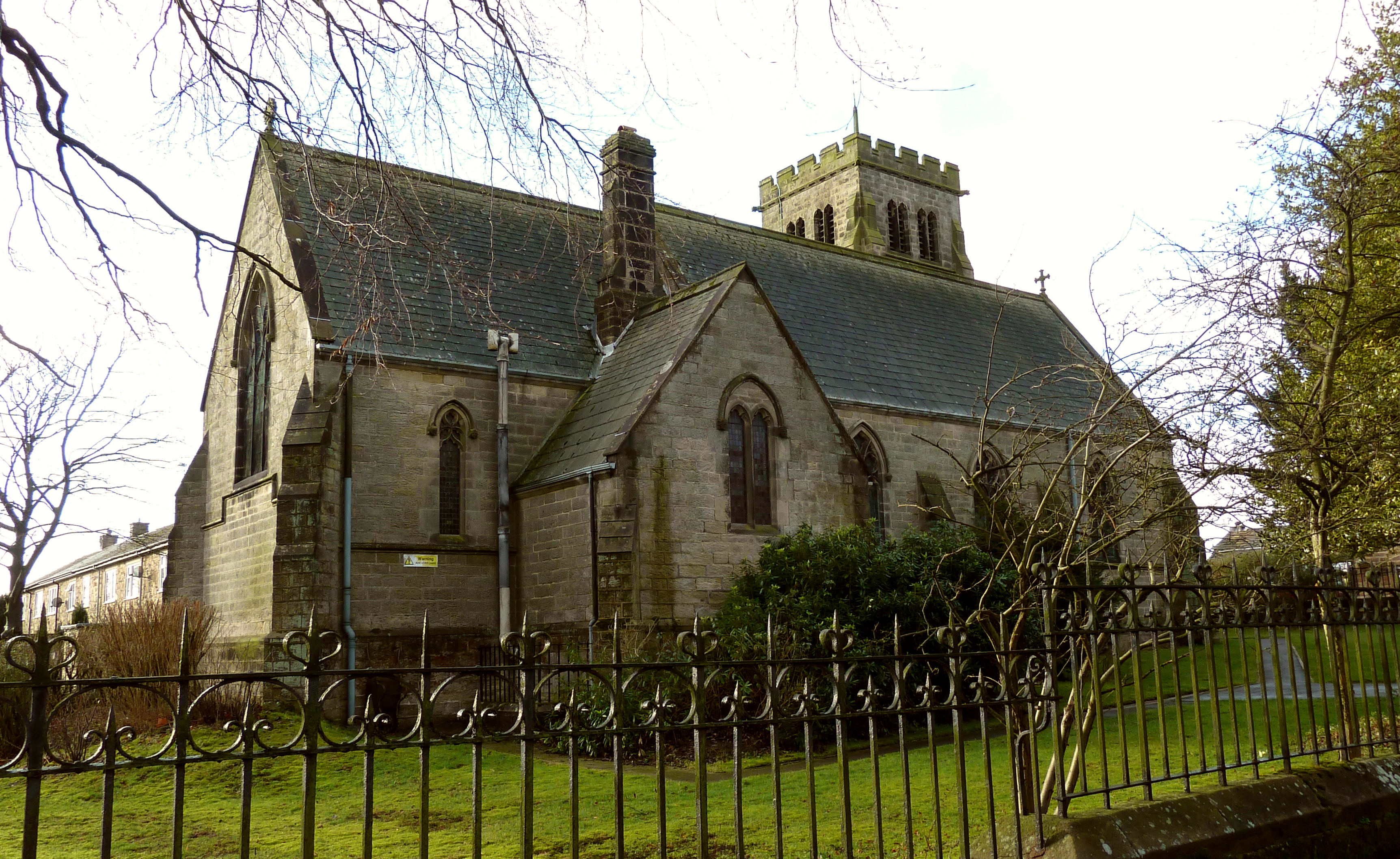
Images are sourced within 2km of 53.972259/-1.6079823 or Grid Reference SE2552. Thanks to Geograph Open Source API. All images are credited.

Crags next to the footpath A tree grows from a cleft in the Gritstone crags just East of Springhill Farm, taken from the footpath to Beckwithshaw.
Crags next to the footpath
A tree grows from a cleft in the Gritstone crags just East of Springhill Farm, taken from the footpath to Beckwithshaw.
Cottage near Beckwithshaw Harrogate This attractive cottage has the added interest of two graves with headstones, lying close to the footpath, which belong to two dogs which were well loved family pets.
Cottage near Beckwithshaw Harrogate
This attractive cottage has the added interest of two graves with headstones, lying close to the footpath, which belong to two dogs which were well loved family pets.
Briscoerigg Farm The view looking Northwards from the farm towards Crimple Head Farm
Briscoerigg Farm
The view looking Northwards from the farm towards Crimple Head Farm
Trig point on Stainburn Moor It is difficult to capture a good picture of this trig point as it is on private land and in open view of the farm (not that I would have climbed over if it were not)
Trig point on Stainburn Moor
It is difficult to capture a good picture of this trig point as it is on private land and in open view of the farm (not that I would have climbed over if it were not)
Norwood Lane II Looking west as Norwood Lane crosses Stainburn Moor. <a href="https://www.geograph.org.uk/gridref/SE2252">SE2252</a> <a href="https://www.geograph.org.uk/gridref/SE2552">SE2552</a>
Norwood Lane II
Looking west as Norwood Lane crosses Stainburn Moor. SE2252 SE2552
Norwood Lane III Looking east down Norwood Lane.  The approaching wall on the left marks the boundary of Moor Park estate.
Norwood Lane III
Looking east down Norwood Lane. The approaching wall on the left marks the boundary of Moor Park estate.
Beckwithshaw Shows the village as viewed from the junction of Norwood Lane with the B6161
Beckwithshaw
Shows the village as viewed from the junction of Norwood Lane with the B6161
Ten Acre Reservoir One of a series of small reservoirs in Haverah Park
Ten Acre Reservoir
One of a series of small reservoirs in Haverah Park
Central House Farm Approaching on the green lane from the west.
Central House Farm
Approaching on the green lane from the west.
High Boar Hole Looking down to the woodland marked on the map as High Boar Hole, from the green lane connecting Prospect Farm and Central House Farm.
High Boar Hole
Looking down to the woodland marked on the map as High Boar Hole, from the green lane connecting Prospect Farm and Central House Farm.
Pot Bridge Farm The yard, just off the B6161 Beckwithshaw/Killinghall Road.
Pot Bridge Farm
The yard, just off the B6161 Beckwithshaw/Killinghall Road.
Access Track to Haverah Park This gives access for Yorkshire Water for its reservoirs in Haverah Park
Access Track to Haverah Park
This gives access for Yorkshire Water for its reservoirs in Haverah Park
Keepers Cottage Farm Cottage with unofficial scrapyard.
Keepers Cottage
Farm Cottage with unofficial scrapyard.
Bridge over the infant River Crimple This bridge carries the Beckwithshaw/North Rigton Road over the River Crimple, about a mile and a half from its source
Bridge over the infant River Crimple
This bridge carries the Beckwithshaw/North Rigton Road over the River Crimple, about a mile and a half from its source
Shaw Green One of a number of scattered buildings that make up the tiny community of Shaw Green
Shaw Green
One of a number of scattered buildings that make up the tiny community of Shaw Green
Drain to Oak Beck View from Rough Bridge.
Drain to Oak Beck
View from Rough Bridge.
Pannal Milepost Beside the B6161 Otley Road near the entrance to Shaw Head Farm.
Pannal Milepost
Beside the B6161 Otley Road near the entrance to Shaw Head Farm.
House at Pot Bank Looking towards Pot Bank from the footpath through Cardale Wood.
House at Pot Bank
Looking towards Pot Bank from the footpath through Cardale Wood.
Show me another place!

Moor Park is located at Grid Ref: SE2552 (Lat: 53.972259, Lng: -1.6079823)

Division: West Riding

Administrative County: North Yorkshire

District: Harrogate

Police Authority: North Yorkshire

What 3 Words

///producing.tonight.stay. Near Stainburn, North Yorkshire

Nearby Locations

Moor Park

Related Wikis

Church of St Michael and All Angels, Beckwithshaw

The Church of St Michael and All Angels, Beckwithshaw, North Yorkshire, England, also known as Beckwithshaw Church, is an Anglican church built and furnished...

Beckwithshaw

Beckwithshaw is a village and civil parish in the Harrogate district of North Yorkshire, England about 2.5 miles (4 km) south-west of Harrogate. ��2�...

Haverah Park experiment

The Haverah Park experiment was a cosmic ray air shower detection array consisting of water Cherenkov detectors distributed over an area of 12 km2 on Haverah...

Beckwith, North Yorkshire

Beckwith is a small settlement in North Yorkshire, England. It lies 2 miles (3 km) south west of Harrogate. The place name was first recorded in about...

Nearby Amenities

Located within 500m of 53.972259,-1.6079823
Moor Park
Place: locality
Source: NPE
Lat/Long: 53.9747548/-1.6078771
The data included in this document is from www.openstreetmap.org. The data is made available under ODbL.

Have you been to Moor Park?

Leave your review of Moor Park below (or comments, questions and feedback).