Hassop Common

Downs, Moorland in Derbyshire Derbyshire Dales

England

Hassop Common

Lone Tree at High Fields East of Black Harry Lane
Lone Tree at High Fields Credit: Neil Theasby

Hassop Common is a stunning area of natural beauty located in Derbyshire, England. Covering an expansive 600 acres, it is nestled in the heart of the picturesque Peak District National Park. This diverse landscape offers a combination of downs and moorland, creating a unique and captivating environment.

The common is characterized by its rolling hills, lush green meadows, and breathtaking panoramic views. It is home to a wide variety of plant and animal species, making it a haven for nature enthusiasts and wildlife lovers. Visitors can expect to spot rare birds, such as the red grouse and curlew, as well as an array of wildflowers, including heather and bilberry.

Hassop Common is also steeped in history, with evidence of human activity dating back thousands of years. Ancient burial mounds and stone circles can still be found scattered across the landscape, providing a glimpse into the area's rich past.

For outdoor enthusiasts, the common offers a range of activities. Walking and hiking trails suitable for all abilities crisscross the land, allowing visitors to explore its stunning vistas and hidden gems. Cyclists can enjoy the exhilarating off-road trails, while horse riders can take advantage of the bridleways that wind through the common.

Facilities at Hassop Common include ample parking, picnic areas, and well-maintained footpaths. The nearby village of Hassop offers a charming café and visitor center, providing a welcome respite after a day of exploration.

Overall, Hassop Common is a true gem of Derbyshire, offering a captivating blend of natural beauty, wildlife, and history. Whether you are seeking tranquility, adventure, or simply a connection to nature, this remarkable area is sure to leave a lasting impression.

If you have any feedback on the listing, please let us know in the comments section below.

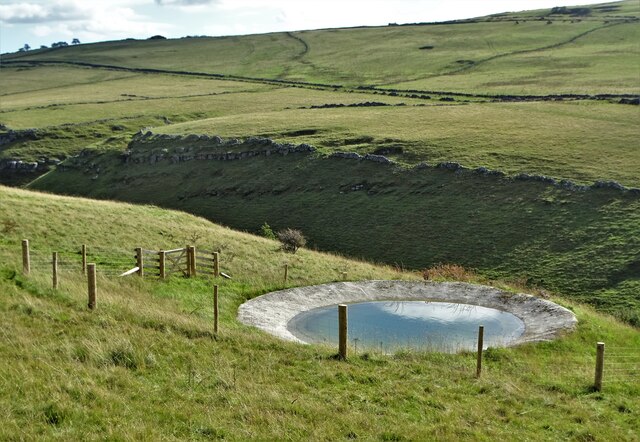
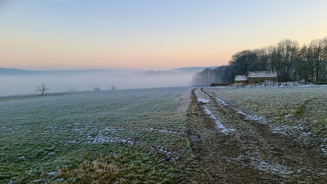
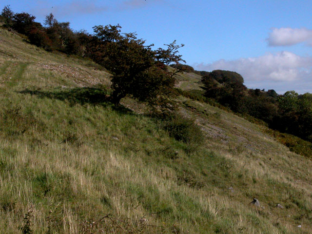
Hassop Common Images

Images are sourced within 2km of 53.255418/-1.6649557 or Grid Reference SK2273. Thanks to Geograph Open Source API. All images are credited.

Lone Tree at High Fields East of Black Harry Lane
Lone Tree at High Fields
East of Black Harry Lane
Dew pond above Black Harry Gate Dew ponds are important in porous limestone areas of Derbyshire - simply to retain animal drinking water.
Dew pond above Black Harry Gate
Dew ponds are important in porous limestone areas of Derbyshire - simply to retain animal drinking water.
Gate on Longstone Moor
Farmland south of Longstone Edge
Autumn colour on Hassop Road The B6001 looking south west towards Hassop.
Autumn colour on Hassop Road
The B6001 looking south west towards Hassop.
The B6001 Hassop Road Looking southwest through the 'tree tunnel'.
The B6001 Hassop Road
Looking southwest through the 'tree tunnel'.
Bramley Lane
Bramley Lane
Path through Bank Wood
Dusk by Bramley Wood
School Lane Nearing dusk
School Lane
Nearing dusk
Gathering gloom
Gathering gloom
Wheatlands Lane
Wheatlands Lane
Dusk by Toost Bank
Dusk by Toost Bank
Ruinous barn north of Hassop Looking towards Bank Wood and Hassop Common
Ruinous barn north of Hassop
Looking towards Bank Wood and Hassop Common
Old barn north of Hassop Looking towards Bank Wood, Down in the valley, the B6001 links Calver with Hassop before proceeding to Bakewell. The day after this picture was taken, you would have beheld a snowy landscape.
Old barn north of Hassop
Looking towards Bank Wood, Down in the valley, the B6001 links Calver with Hassop before proceeding to Bakewell. The day after this picture was taken, you would have beheld a snowy landscape.
View to a pond north east of Rowland The pond is unnamed but it is close to old lead mine workings including the long disused site of  Waterhole Mine.
View to a pond north east of Rowland
The pond is unnamed but it is close to old lead mine workings including the long disused site of Waterhole Mine.
Sheep at old lead mine workings site near Rowland
Site of disused lead mine near Rowland The landscape hereabouts is pock -marked with evidence of historical lead mining.
Site of disused lead mine near Rowland
The landscape hereabouts is pock -marked with evidence of historical lead mining.
Show me another place!

Hassop Common is located at Grid Ref: SK2273 (Lat: 53.255418, Lng: -1.6649557)

Administrative County: Derbyshire

District: Derbyshire Dales

Police Authority: Derbyshire

What 3 Words

///pianists.rooting.heave. Near Baslow, Derbyshire

Nearby Locations

Hassop Common

Related Wikis

Church of All Saints, Hassop

The Church of All Saints is a Roman Catholic parish church in Hassop, Derbyshire. Built in 1816–17, the architect was Joseph Ireland. It is a Grade...

Hassop

Hassop is a village in the local government district of Derbyshire Dales in Derbyshire, England. It is in the civil parish of Great Longstone It developed...
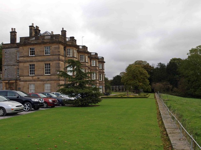
Hassop Hall

Hassop Hall is a 17th-century country house near Bakewell, Derbyshire, which was operated as a hotel until it closed on 29 September 2019. It is a Grade...

Longstone Edge

Longstone Edge is a limestone ridge in the Peak District National Park, in Derbyshire, England. Longstone Edge is immediately north of the village of Great...

Nearby Amenities

Located within 500m of 53.255418,-1.6649557
Ele: 295.4886475
Lat/Long: 53.2584881/-1.6630726
Ele: 295.2482910
Lat/Long: 53.2583336/-1.662948
Ele: 293.0854492
Lat/Long: 53.2588134/-1.6633645
Barrier: cattle_grid
Ele: 272.1768799
Lat/Long: 53.2545681/-1.6723043
Ele: 273
Lat/Long: 53.2546762/-1.6715735
Ele: 294.7677002
Lat/Long: 53.2566827/-1.6644084
Barrier: cattle_grid
Ele: 293.0854492
Lat/Long: 53.2574564/-1.6631447
Barrier: stile
Material: wood
Source: survey;gps
Stile: stepover
Lat/Long: 53.2565078/-1.6585678
Hassop Common
Place: locality
Lat/Long: 53.2563828/-1.6621696
Barrier: stile
Material: wood
Source: survey;gps
Stile: stepover
Lat/Long: 53.2574652/-1.6631762
Barrier: stile
Material: wood
Source: survey;gps
Stile: stepover
Lat/Long: 53.2543881/-1.6679319
Information: guidepost
Tourism: information
Lat/Long: 53.2548817/-1.6635948
Parking
Capacity: 4
Parking: street_side
Lat/Long: 53.2557736/-1.6664157
Parking
Capacity: 4
Parking: street_side
Lat/Long: 53.257338/-1.6632057
The data included in this document is from www.openstreetmap.org. The data is made available under ODbL.

Have you been to Hassop Common?

Leave your review of Hassop Common below (or comments, questions and feedback).