Dukes Coverts
Downs, Moorland in Northumberland
England
Dukes Coverts
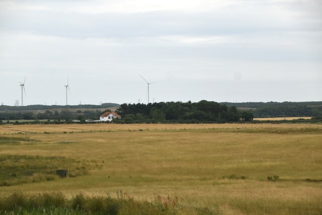
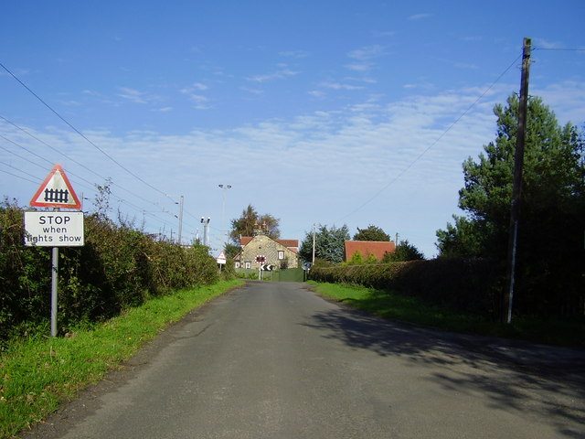
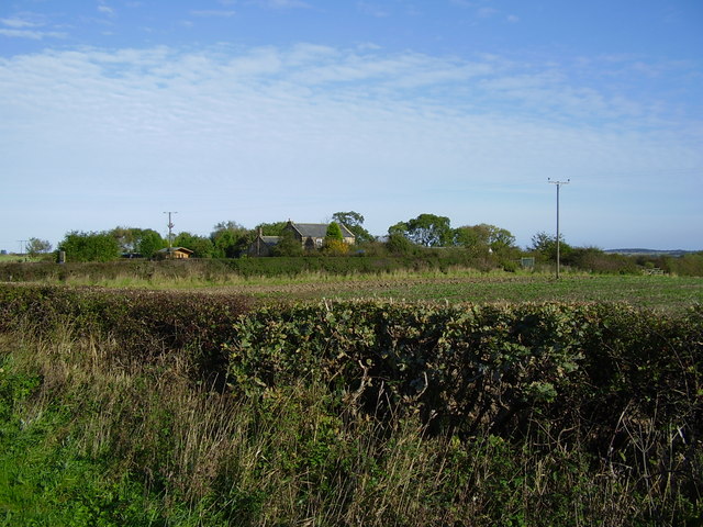
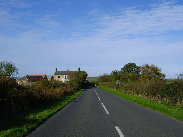
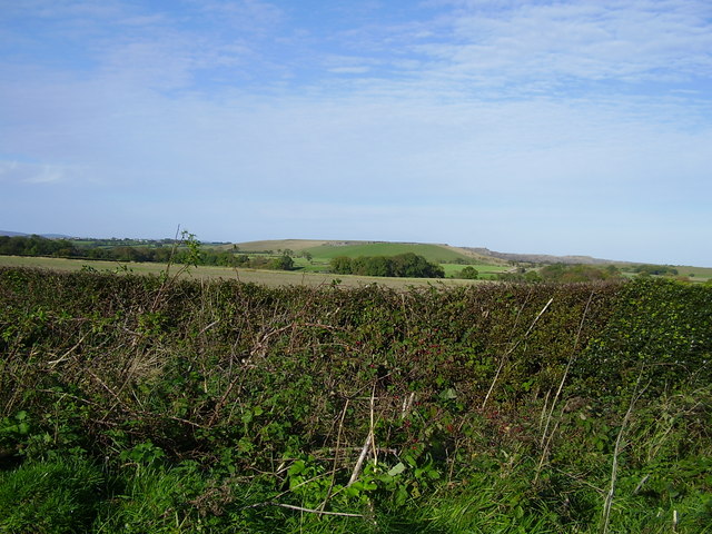
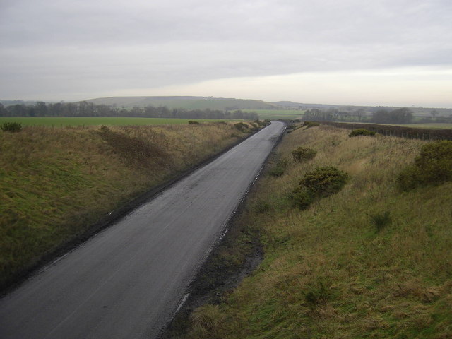
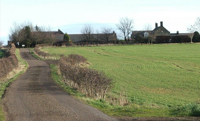
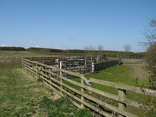
Dukes Coverts, located in the county of Northumberland, England, is a picturesque area encompassing downland and moorland landscapes. Covering a vast expanse, this region is known for its diverse and captivating natural beauty.
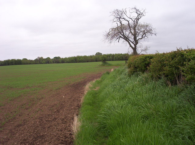
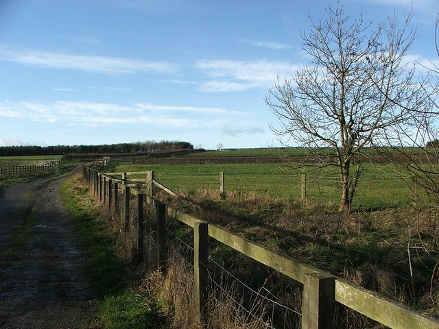
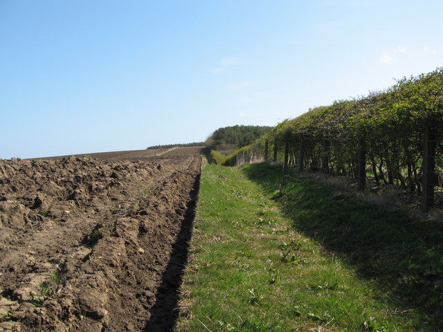
The downs of Dukes Coverts feature rolling hills and expansive grasslands. These areas, rich in biodiversity, are home to a variety of flora and fauna. Visitors can witness the stunning sight of wildflowers in bloom during the warmer months, adding vibrant colors to the landscape. The downs also provide excellent opportunities for outdoor activities such as hiking, picnicking, and wildlife spotting.
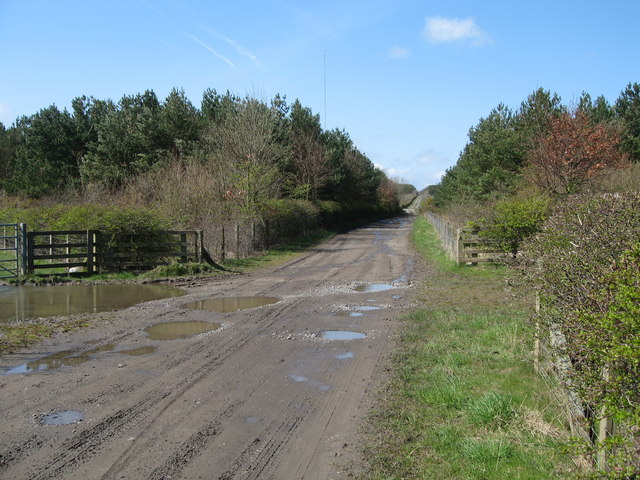
Adjacent to the downs lies the moorland of Dukes Coverts. This rugged terrain is characterized by vast stretches of heather and gorse, creating a striking purple and yellow tapestry. The moorland is a haven for bird watchers, with species like curlews, lapwings, and skylarks frequently seen and heard. The undulating moors offer a sense of tranquility and solitude, making it an ideal escape for those seeking peace and quiet in nature.
In addition to its natural beauty, Dukes Coverts also has historical and cultural significance. The area is dotted with remnants of ancient settlements, including stone circles and burial mounds, providing a glimpse into its past. Exploring these archaeological sites allows visitors to connect with the rich history of the region.
Overall, Dukes Coverts in Northumberland is a breathtaking blend of downs and moorland, offering a unique and captivating experience for nature enthusiasts, outdoor adventurers, and history buffs alike.
If you have any feedback on the listing, please let us know in the comments section below.
Dukes Coverts Images
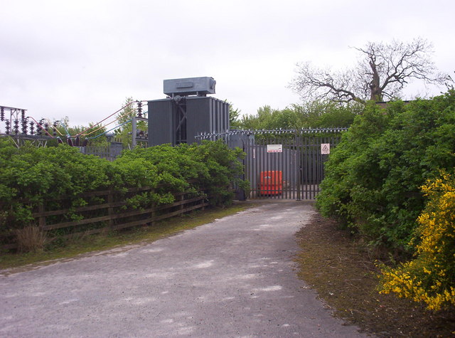
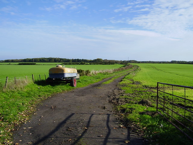
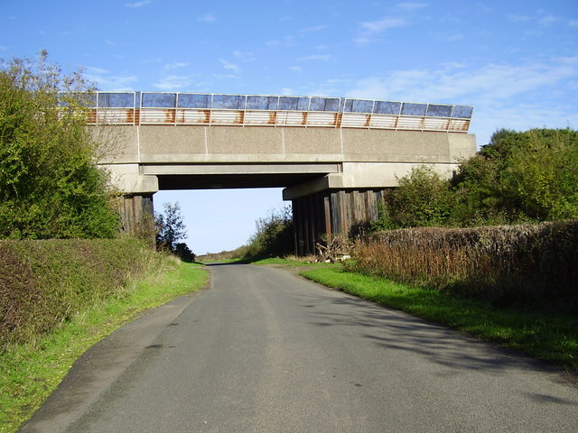
Images are sourced within 2km of 55.208819/-1.6488422 or Grid Reference NZ2290. Thanks to Geograph Open Source API. All images are credited.
Dukes Coverts is located at Grid Ref: NZ2290 (Lat: 55.208819, Lng: -1.6488422)
Unitary Authority: Northumberland
Police Authority: Northumbria
What 3 Words
///unrated.scores.alarm. Near Pegswood, Northumberland
Nearby Locations
Related Wikis

Longhirst
Longhirst is a village and civil parish in Northumberland, England, located approximately 2.5 miles (4.0 km) northeast of the town of Morpeth. It originally...

Longhirst railway station
Longhirst railway station served the village of Longhirst, Morpeth, England from 1847 to 1964 on the East Coast Main Line. == History == The station was...

Ulgham
Ulgham is a small village in Northumberland, England. The name Ulgham is pronounced 'Uffam': [ˈʊfəm] (locally), [ˈʌfəm] (RP). It is known as the 'village...
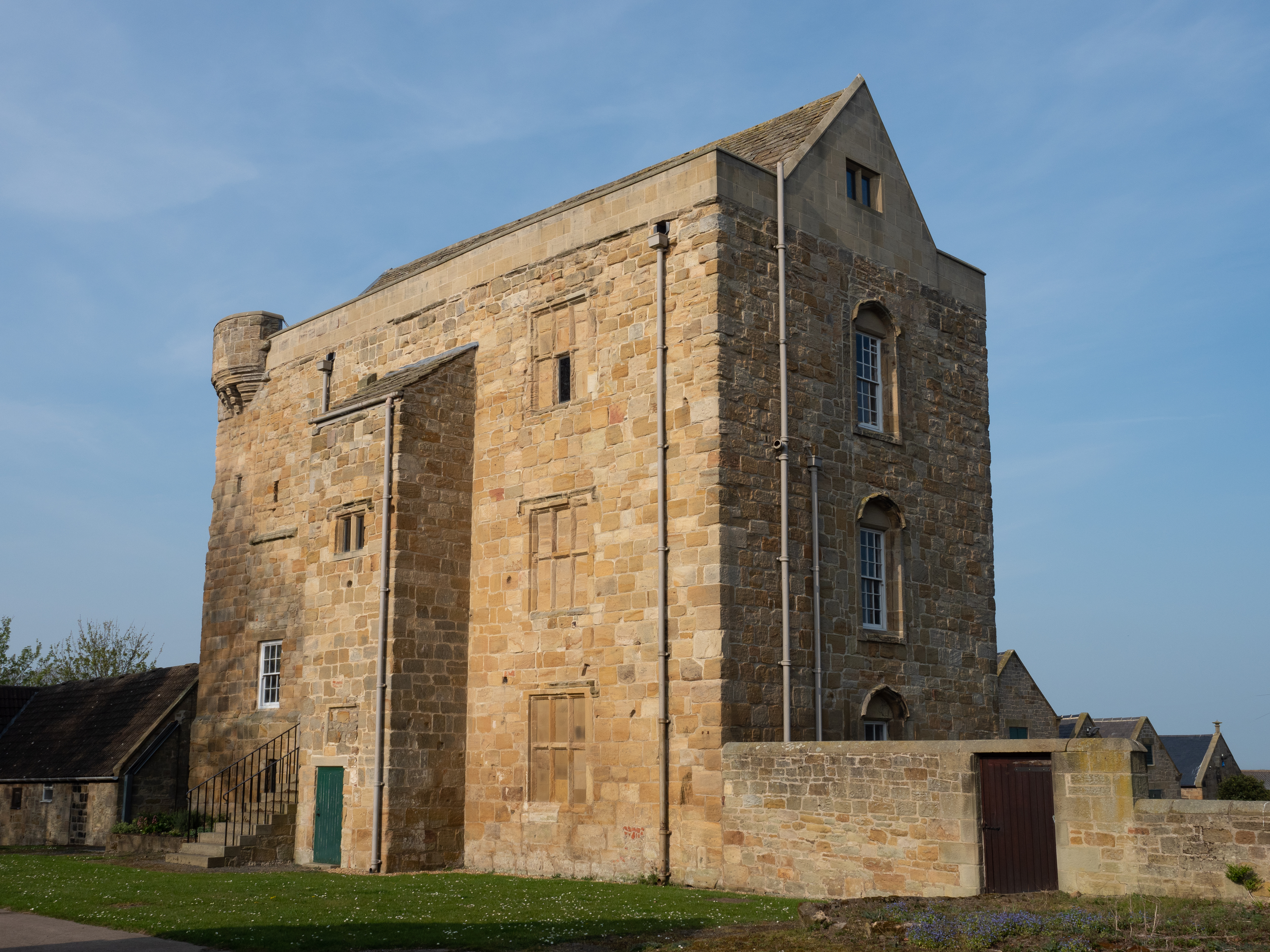
Cockle Park Tower
Cockle Park Tower is a Grade 1 listed building in the hamlet of Cockle Park, Northumberland, England, some 4 miles (6 km) to the north of Morpeth. This...
Have you been to Dukes Coverts?
Leave your review of Dukes Coverts below (or comments, questions and feedback).