Strines Moor
Downs, Moorland in Yorkshire
England
Strines Moor
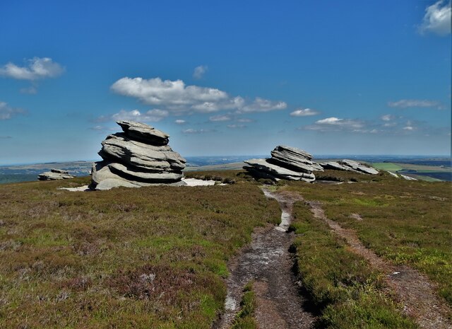
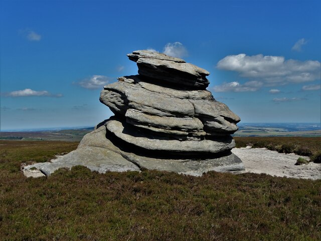
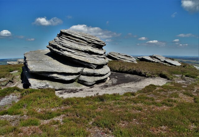
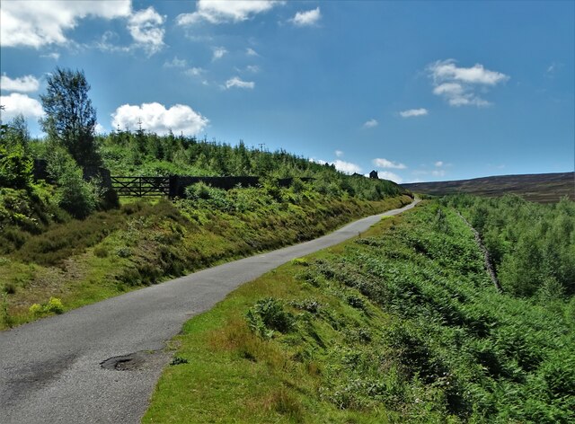
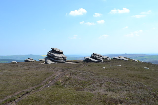
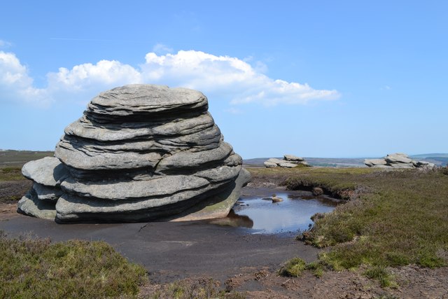
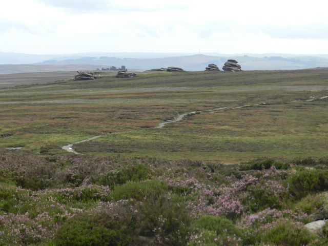
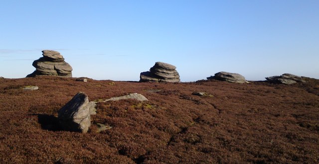
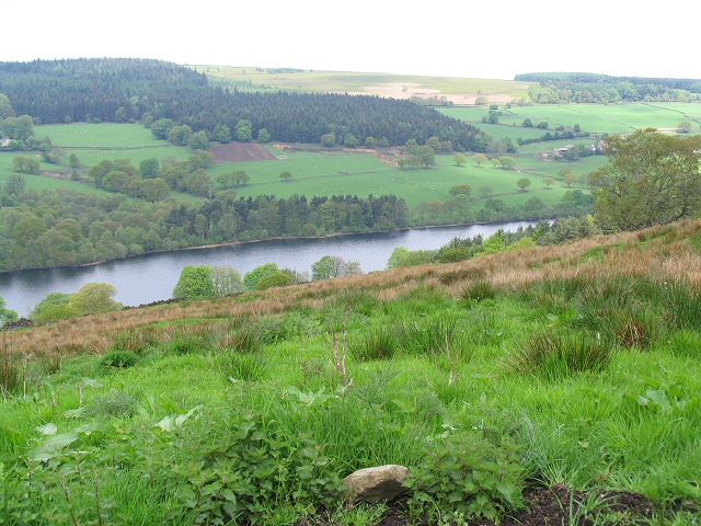
Strines Moor is a picturesque expanse of moorland located in Yorkshire, England. Situated in the region known as the Yorkshire Downs, it covers a vast area of approximately 5 square miles. The moor is characterized by its rolling hills, heather-covered landscapes, and stunning panoramic views.
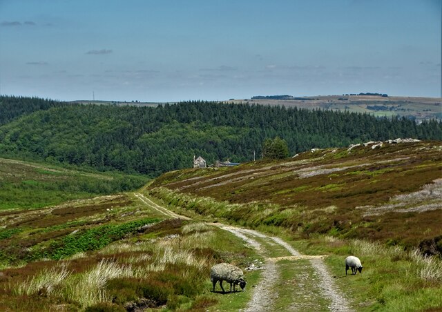
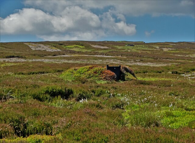
The moorland is renowned for its diverse wildlife and is designated as a Site of Special Scientific Interest (SSSI). It is home to a variety of bird species, including the iconic red grouse, curlews, and lapwings. The area also supports important populations of reptiles, such as adders and common lizards, as well as various mammals like hares, stoats, and voles.
Strines Moor offers visitors the opportunity to immerse themselves in tranquil surroundings and experience the beauty of nature. There are numerous walking trails and paths that crisscross the moor, providing stunning vistas and a chance to observe the local flora and fauna up close. The heather that blankets the landscape creates a breathtaking display of purple hues during the late summer months.
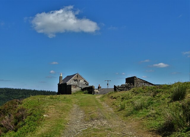
In addition to its natural beauty, Strines Moor is steeped in history. The remnants of ancient settlements, including stone circles and burial mounds, can still be found scattered across the moor. These archaeological sites provide a glimpse into the lives and traditions of past civilizations.
Overall, Strines Moor is a captivating destination that offers a unique blend of natural splendor and historical significance. Whether for leisurely walks, birdwatching, or exploring archaeological treasures, this moorland in Yorkshire is a must-visit for nature enthusiasts and history buffs alike.
If you have any feedback on the listing, please let us know in the comments section below.
Strines Moor Images
Images are sourced within 2km of 53.403309/-1.6745803 or Grid Reference SK2189. Thanks to Geograph Open Source API. All images are credited.


Strines Moor is located at Grid Ref: SK2189 (Lat: 53.403309, Lng: -1.6745803)
Division: West Riding
Unitary Authority: Sheffield
Police Authority: South Yorkshire
What 3 Words
///vocally.nerd.married. Near Bradfield, South Yorkshire
Nearby Locations
Related Wikis

Strines Reservoir
Strines Reservoir is a water storage reservoir situated at 53.4099°N 1.6557°W / 53.4099; -1.6557 (Strines_Reservoir), 8 miles (13 km) west of the centre...

Sugworth Hall
Sugworth Hall is an English country house on Sugworth Road in Bradfield Dale, near Sheffield, England. It is situated approximately 8 miles (13 km) west...

Moscar Cross
Moscar Cross is the name of a standing stone (or "guide stoop") and surrounding area in the Peak District on the border between Derbyshire and Sheffield...

Derwent Edge
Derwent Edge is a Millstone Grit escarpment that lies above the Upper Derwent Valley in the Peak District National Park in the English county of Derbyshire...

Hallfield House
Hallfield House is a Grade II listed building situated in Bradfield Dale, 1.7 miles (2.74 km) west of the village of Low Bradfield, near Sheffield in England...

Bradfield Dale
Bradfield Dale is a rural valley 12 kilometres (7.5 mi) west-northwest of the City of Sheffield in England. The valley stands within the north-eastern...
Dale Dike Reservoir
Dale Dike Reservoir or Dale Dyke Reservoir (grid reference SK240913) is a reservoir in the north-east Peak District, in the City of Sheffield, South Yorkshire...

Hordron Edge stone circle
Hordron Edge stone circle, also known as 'The Seven Stones of Hordron' is a Bronze Age stone circle (grid reference SK2152486851) in Derbyshire, England...
Nearby Amenities
Located within 500m of 53.403309,-1.6745803Have you been to Strines Moor?
Leave your review of Strines Moor below (or comments, questions and feedback).