Bamford Moor

Downs, Moorland in Derbyshire High Peak

England

Bamford Moor

Ladybower reservoir  Ladybower reservoir seen from the reservoir dam. Built between 1935 and 1943 and opened in 1945, it supplies drinking water to the East Midlands via the Bamford water treatment works operated by Severn Trent.
Ladybower reservoir Credit: Daniel Parks

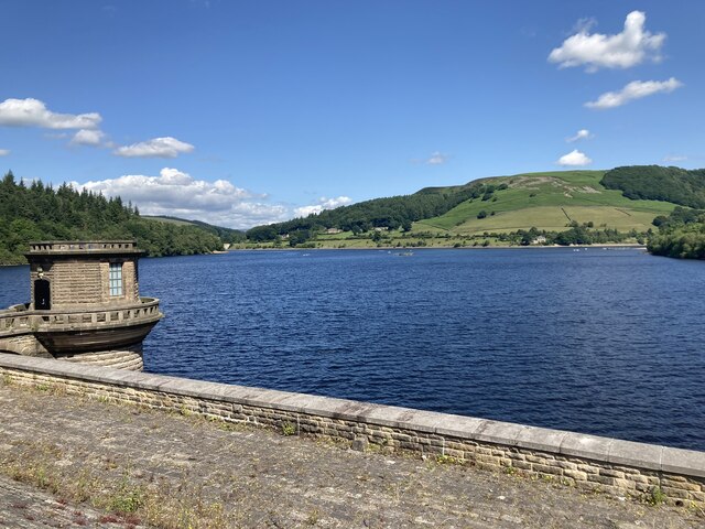
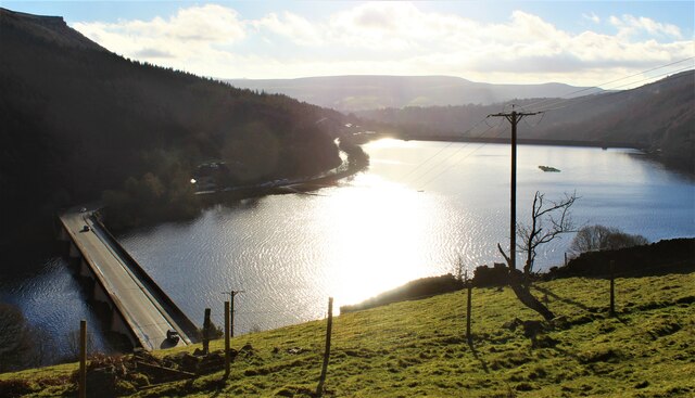
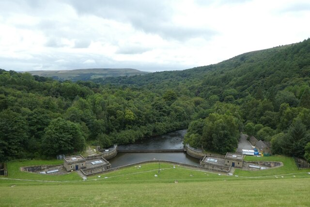
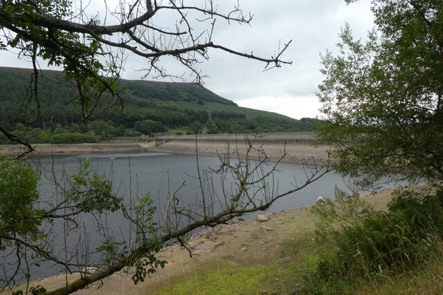
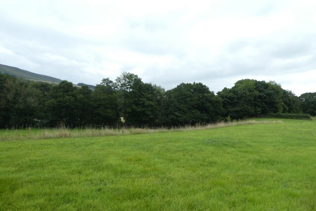
Bamford Moor is a picturesque area located in Derbyshire, England. Situated in the heart of the Peak District National Park, it is renowned for its stunning natural beauty and diverse landscapes. The moorland stretches over an area of approximately 5 square kilometers and is characterized by rolling hills, heather-covered slopes, and vast expanses of open space.

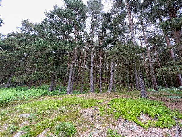
The terrain of Bamford Moor consists of both gentle and steep slopes, offering breathtaking views of the surrounding countryside. The area predominantly features acidic peat soils, which contribute to the growth of unique flora and fauna. Visitors can expect to encounter a variety of plant species, including heather, bilberry, and cotton grass, which add vibrant colors to the landscape.

Bamford Moor is also home to a diverse range of wildlife. Birdwatchers will be delighted to spot species such as the red grouse, curlew, and skylark, which thrive in the moorland environment. The area is also known for its population of mountain hares, which can occasionally be seen darting across the hills.

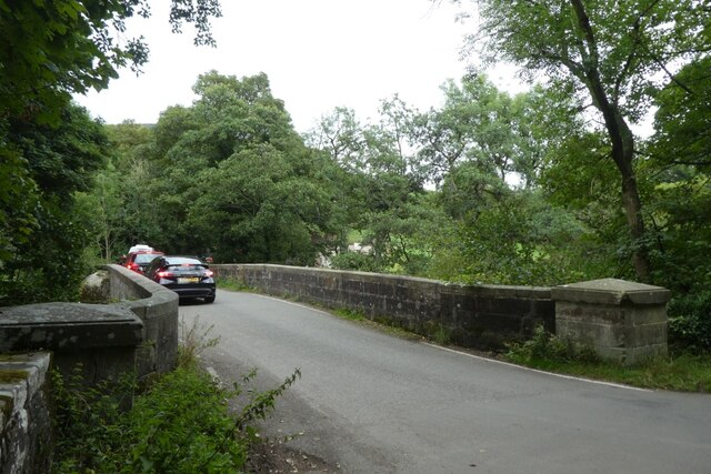
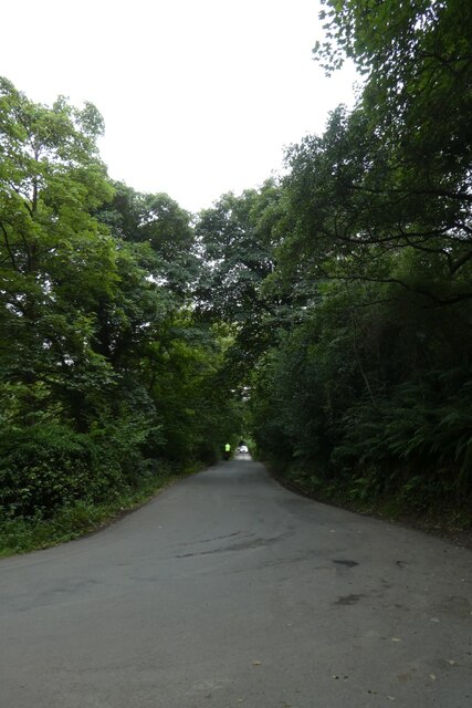
Beyond its natural beauty, Bamford Moor offers numerous recreational opportunities for visitors. Hiking and walking trails crisscross the area, providing access to stunning viewpoints and hidden valleys. The moorland is also a popular destination for birdwatching, photography, and nature enthusiasts seeking tranquility and solitude.

Overall, Bamford Moor is a stunning and diverse landscape within the Peak District National Park, attracting nature lovers and outdoor enthusiasts alike with its breathtaking views, unique flora and fauna, and recreational opportunities.

If you have any feedback on the listing, please let us know in the comments section below.
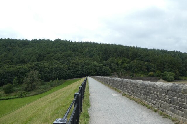
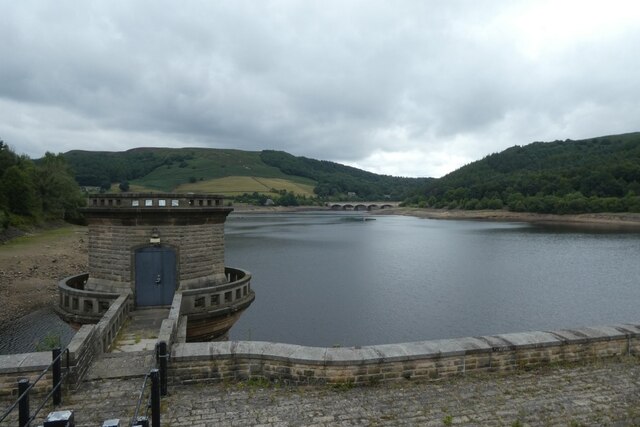
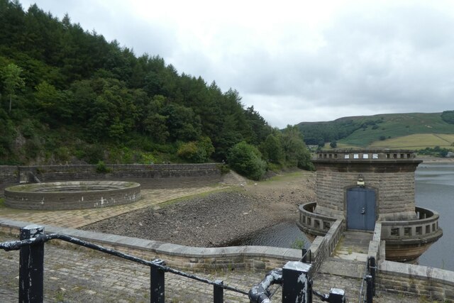
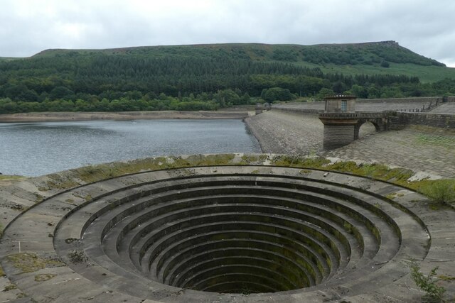
Bamford Moor Images

Images are sourced within 2km of 53.36551/-1.6836743 or Grid Reference SK2185. Thanks to Geograph Open Source API. All images are credited.

Ladybower reservoir  Ladybower reservoir seen from the reservoir dam. Built between 1935 and 1943 and opened in 1945, it supplies drinking water to the East Midlands via the Bamford water treatment works operated by Severn Trent.
Ladybower reservoir
Ladybower reservoir seen from the reservoir dam. Built between 1935 and 1943 and opened in 1945, it supplies drinking water to the East Midlands via the Bamford water treatment works operated by Severn Trent.
Ladybower Reservoir
Ladybower Reservoir
Woodland View Just a quick view of the trees here.
Woodland View
Just a quick view of the trees here.
Ladybower outflow Looking down the dam wall of Ladybower Reservoir.
Ladybower outflow
Looking down the dam wall of Ladybower Reservoir.
Across the dam wall Looking along the dam wall of Ladybower Reservoir. The water levels in the reservoir are pretty low following a prolonged period with little rain.
Across the dam wall
Looking along the dam wall of Ladybower Reservoir. The water levels in the reservoir are pretty low following a prolonged period with little rain.
Control tower along the dam wall Looking across Ladybower Reservoir from the dam wall. The water levels are pretty low following a prolonged period with little rain.
Control tower along the dam wall
Looking across Ladybower Reservoir from the dam wall. The water levels are pretty low following a prolonged period with little rain.
Control tower and outflow Looking across Ladybower Reservoir from the dam wall. The water levels are pretty low following a prolonged period with little rain.
Control tower and outflow
Looking across Ladybower Reservoir from the dam wall. The water levels are pretty low following a prolonged period with little rain.
Outflow on the west side of the dam wall Looking across Ladybower Reservoir from the dam wall. The water levels are pretty low following a prolonged period with little rain.
Outflow on the west side of the dam wall
Looking across Ladybower Reservoir from the dam wall. The water levels are pretty low following a prolonged period with little rain.
Ladybower Reservoir Looking across Ladybower Reservoir from the dam wall. The water levels are pretty low following a prolonged period with little rain.
Ladybower Reservoir
Looking across Ladybower Reservoir from the dam wall. The water levels are pretty low following a prolonged period with little rain.
Bridge over the River Derwent Looking along Lydgate Lane.
Bridge over the River Derwent
Looking along Lydgate Lane.
Junction of Carr Lane and Lydgate Lane Looking down Carr Lane below Ladybower reservoir.
Junction of Carr Lane and Lydgate Lane
Looking down Carr Lane below Ladybower reservoir.
Field beside Carr Lane The River Derwent runs amongst the trees.
Field beside Carr Lane
The River Derwent runs amongst the trees.
Ladybower Reservoir View south to the Ladybower Reservoir from the A57.
Ladybower Reservoir
View south to the Ladybower Reservoir from the A57.
Bellmouth at Ladybower Close to the reservoir's huge clay, earth and concrete dam. This bellmouth acts like a plug hole, draining away excess water in times of plenty.
Bellmouth at Ladybower
Close to the reservoir's huge clay, earth and concrete dam. This bellmouth acts like a plug hole, draining away excess water in times of plenty.
At a gateway by Carr Lane
View to Bamford Edge from Carr Lane
Ladybower Shore The Upper Derwent Valley above Bamford is dominated by three large reservoirs, built between 1901 and 1945 to supply water to Sheffield, Nottingham, Derby and Leicester. Howden is the uppermost and oldest of the three; below that is Derwent Reservoir, filled between November 1914 and January 1916. Work on Ladybower Reservoir commenced in 1935 and, despite the shortage of materials and resources in the Second World War, was opened in 1945 by King George VI.  Unlike the solid masonry dams built for the Howden and Derwent reservoirs, Ladybower Dam is a clay-cored earth embankment.  Two villages were engulfed when Ladybower Reservoir was filled, Derwent and Ashopton, and their remains can still be seen when water levels are low. Famously, Derwent Reservoir was used by 617 Squadron in preparation for the ‘Dambusters’ raid on the dams of the Ruhr Valley in 1943.
Ladybower Shore
The Upper Derwent Valley above Bamford is dominated by three large reservoirs, built between 1901 and 1945 to supply water to Sheffield, Nottingham, Derby and Leicester. Howden is the uppermost and oldest of the three; below that is Derwent Reservoir, filled between November 1914 and January 1916. Work on Ladybower Reservoir commenced in 1935 and, despite the shortage of materials and resources in the Second World War, was opened in 1945 by King George VI. Unlike the solid masonry dams built for the Howden and Derwent reservoirs, Ladybower Dam is a clay-cored earth embankment. Two villages were engulfed when Ladybower Reservoir was filled, Derwent and Ashopton, and their remains can still be seen when water levels are low. Famously, Derwent Reservoir was used by 617 Squadron in preparation for the ‘Dambusters’ raid on the dams of the Ruhr Valley in 1943.
Ladybower Reservoir, The Tailbay Looking down from the dam towards the area known as the tailbay. Water overflowing from the two bell mouths at the east and west ends of the dam flows into the River Derwent.
Ladybower Reservoir, The Tailbay
Looking down from the dam towards the area known as the tailbay. Water overflowing from the two bell mouths at the east and west ends of the dam flows into the River Derwent.
Show me another place!

Bamford Moor is located at Grid Ref: SK2185 (Lat: 53.36551, Lng: -1.6836743)

Administrative County: Derbyshire

District: High Peak

Police Authority: Derbyshire

What 3 Words

///radiated.voters.including. Near Hope Valley, Derbyshire

Nearby Locations

Bamford Moor

Related Wikis

Nearby Amenities

Located within 500m of 53.36551,-1.6836743
Historic: stone
Note: old stone fence post
Lat/Long: 53.3623111/-1.6788805
Historic: stone
Note: old stone fence post
Lat/Long: 53.3631402/-1.6792184
Historic: stone
Note: old stone fence post
Lat/Long: 53.3639341/-1.6794947
Historic: stone
Note: old stone fence post
Lat/Long: 53.3646879/-1.6798165
Historic: stone
Note: old stone fence post
Lat/Long: 53.3655298/-1.6801237
Historic: stone
Note: old stone fence post
Lat/Long: 53.3663236/-1.6805998
Historic: stone
Note: old stone fence post
Lat/Long: 53.3671198/-1.6808291
Hunting Stand
Hunting Stand: grouse_butt
Lat/Long: 53.3683287/-1.6790527
Hunting Stand
Hunting Stand: grouse_butt
Lat/Long: 53.3687438/-1.678659
The data included in this document is from www.openstreetmap.org. The data is made available under ODbL.

Have you been to Bamford Moor?

Leave your review of Bamford Moor below (or comments, questions and feedback).