Elton Common

Downs, Moorland in Derbyshire Derbyshire Dales

England

Elton Common

Ruined sheepfold This old sheepfold is marked on the 1880 Ordnance Survey map but is now in ruins.
Ruined sheepfold Credit: Ian Calderwood

Elton Common is a picturesque area located in the county of Derbyshire, England. Situated in the heart of the Peak District National Park, it is renowned for its stunning landscapes, encompassing both downs and moorland.

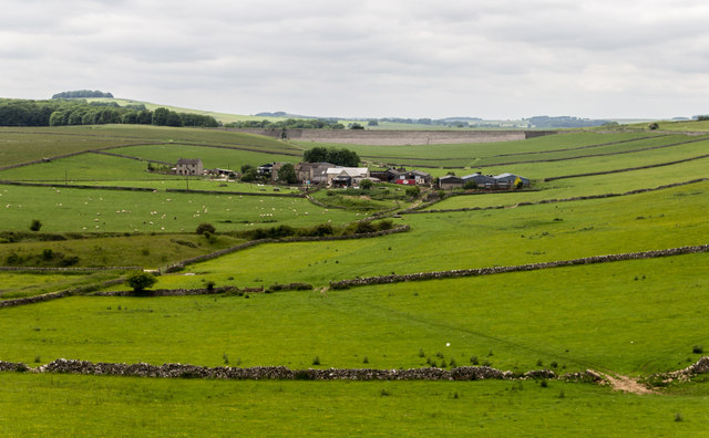
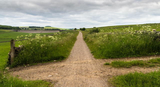
The downs of Elton Common offer sweeping views of rolling hills, characterized by their gentle slopes and grassy terrain. These downs provide an ideal setting for leisurely walks and picnics, attracting visitors from near and far. The tranquil atmosphere and abundance of wildlife make it a haven for nature enthusiasts, who can spot a variety of bird species and occasionally glimpse deer roaming freely.

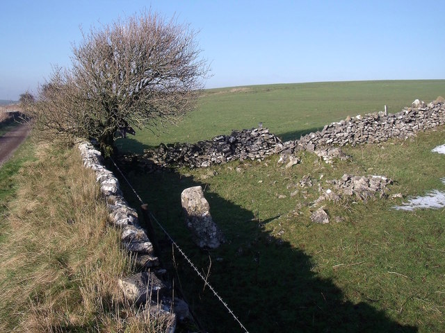
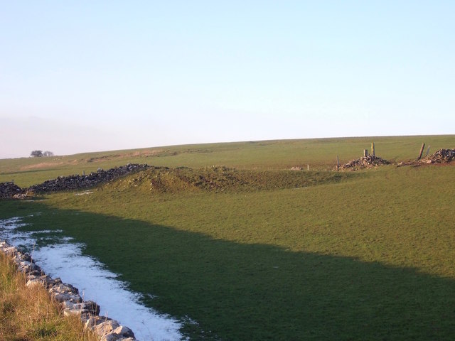
In contrast, the moorland of Elton Common showcases a rugged and wild beauty. Dominated by expanses of heather, this landscape is rich in biodiversity and provides a unique habitat for rare plants and animals. The moorland is crisscrossed with footpaths, allowing hikers to explore and appreciate the untamed nature of the area.

Elton Common is also home to a number of historical sites, including ancient burial mounds and Bronze Age relics, adding to its cultural significance. The area is characterized by a strong sense of community, with a close-knit village nearby offering quaint cottages and traditional pubs.

Overall, Elton Common in Derbyshire is a remarkable destination for those seeking to immerse themselves in the beauty of nature. Its combination of downs and moorland, along with its historical and cultural significance, make it a truly unique and captivating location within the Peak District National Park.

If you have any feedback on the listing, please let us know in the comments section below.
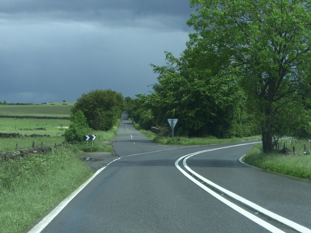
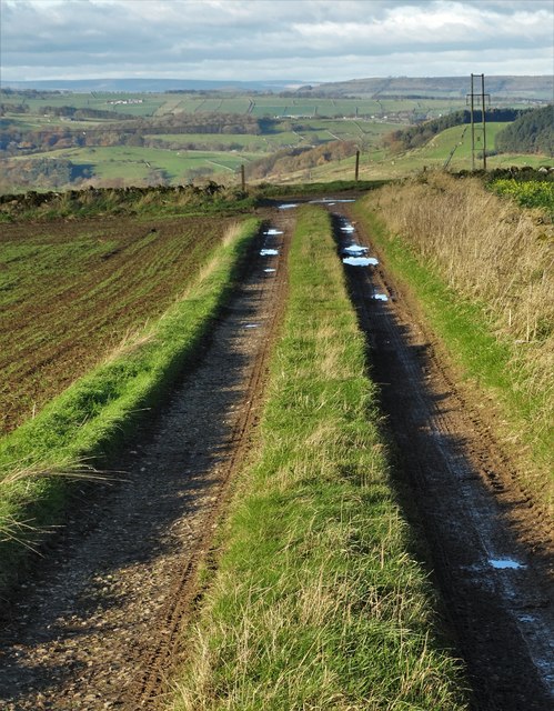
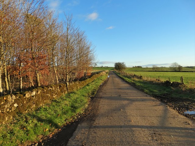
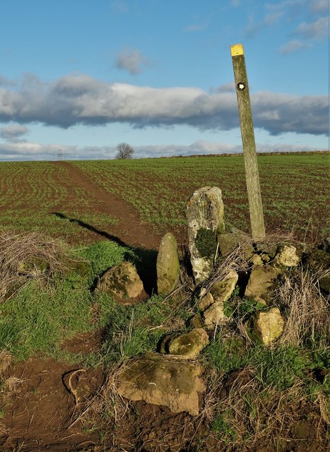
Elton Common Images

Images are sourced within 2km of 53.132146/-1.685479 or Grid Reference SK2159. Thanks to Geograph Open Source API. All images are credited.

Ruined sheepfold This old sheepfold is marked on the 1880 Ordnance Survey map but is now in ruins.
Ruined sheepfold
This old sheepfold is marked on the 1880 Ordnance Survey map but is now in ruins.
Dew pond and old quarry The quarry is in the background, in the next field.
Dew pond and old quarry
The quarry is in the background, in the next field.
Minninglow Grange View of Minninglow Grange Farm.
Minninglow Grange
View of Minninglow Grange Farm.
High Peak Trail The High Peak Trail.
High Peak Trail
The High Peak Trail.
Junction A5012
Junction A5012
Cattle grazing south of the A5012 The farm complex to the right is Grange Barn. It has a sign on the gate to confirm this fact. OS mapping incorrectly indicates that it is two hundred metres further east.
Cattle grazing south of the A5012
The farm complex to the right is Grange Barn. It has a sign on the gate to confirm this fact. OS mapping incorrectly indicates that it is two hundred metres further east.
Pasture above Minninglow Grange Farm Seen from The High Peak Trail
Pasture above Minninglow Grange Farm
Seen from The High Peak Trail
Abandoned quarrying machinery At the now disused Minninglow limestone quarry adjacent to The High Peak Trail.
Abandoned quarrying machinery
At the now disused Minninglow limestone quarry adjacent to The High Peak Trail.
Cow on Ridge On the slopes of Minninglow Hill
Cow on Ridge
On the slopes of Minninglow Hill
Gratton Dale north of Mouldridge Grange
Cattle in Long Dale
Cattle in Long Dale
Field barn near Mouldridge Grange
Track on Elton Common
Sheep pasture east of Exlowmere Lane
Exlowmere Lane
Exlowmere Lane
Stile and footpath - Elton Common
Not a place I would choose to cycle Just where Long Dale and Gratton Dale join we were passed by a group of about 15 cyclists. These few have just gone through a very narrow stile and are heading down the dale which in places is very rough and rocky.
Not a place I would choose to cycle
Just where Long Dale and Gratton Dale join we were passed by a group of about 15 cyclists. These few have just gone through a very narrow stile and are heading down the dale which in places is very rough and rocky.
Looking back up Long Dale From the stile we look back along the way we have walked.
Looking back up Long Dale
From the stile we look back along the way we have walked.
Show me another place!

Elton Common is located at Grid Ref: SK2159 (Lat: 53.132146, Lng: -1.685479)

Administrative County: Derbyshire

District: Derbyshire Dales

Police Authority: Derbyshire

What 3 Words

///shielding.shears.jugs. Near Newhaven, Derbyshire

Nearby Locations

Elton Common

Related Wikis

Elton, Derbyshire

Elton is a village and civil parish in the Derbyshire Dales district of Derbyshire, England, and lies within the Peak District. Its nearest towns are Bakewell...

All Saints' Church, Elton

All Saints’ Church, Elton is a Grade II listed Church of England church in Elton, Derbyshire. == History == Elton was originally one of the chapelries...

Duke of York Inn, Elton

The Duke of York Inn is a Grade II listed public house at Main Street, Elton, Derbyshire DE4 2BW.It is on the Campaign for Real Ale's National Inventory...

Dale End, Derbyshire

Dale End is a hamlet in Derbyshire, England to the west of Elton. == References ==

Nearby Amenities

Located within 500m of 53.132146,-1.685479
Barrier: stile
Foot: yes
Material: stone
Source: survey;bing;gps
Stile: squeezer
Lat/Long: 53.1320225/-1.6901116
Barrier: stile
Foot: yes
Lat/Long: 53.1356161/-1.6838138
Barrier: stile
Material: stone
Source: survey;bing;gps
Stile: squeezer
Lat/Long: 53.1306396/-1.692518
Barrier: stile
Material: stone
Source: survey;bing;gps
Stile: squeezer
Lat/Long: 53.1346519/-1.6855986
The data included in this document is from www.openstreetmap.org. The data is made available under ODbL.

Have you been to Elton Common?

Leave your review of Elton Common below (or comments, questions and feedback).