Ingbirchworth Moor
Downs, Moorland in Yorkshire
England
Ingbirchworth Moor
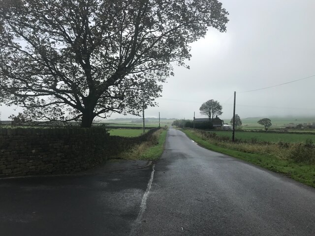
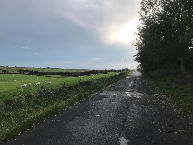
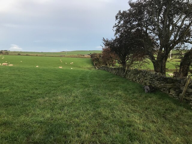
Ingbirchworth Moor is a picturesque area located in Yorkshire, England. Situated amidst the rolling hills and vast landscapes, it is a quintessential representation of the region's natural beauty. The moor extends over an expansive area, encompassing both downs and moorland.
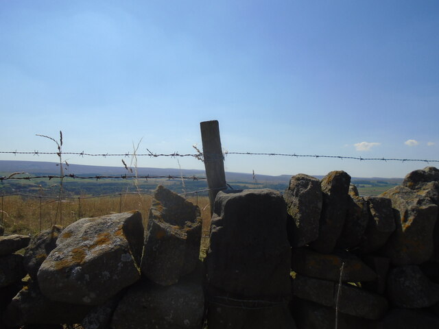
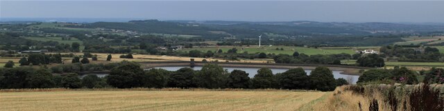
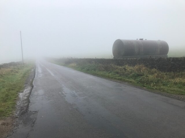
The downs of Ingbirchworth Moor are characterized by their gentle slopes and lush greenery. They offer breathtaking views of the surrounding countryside, with a patchwork of fields and meadows stretching as far as the eye can see. The downs are home to an array of plant and animal species, making it a haven for nature enthusiasts and wildlife lovers.
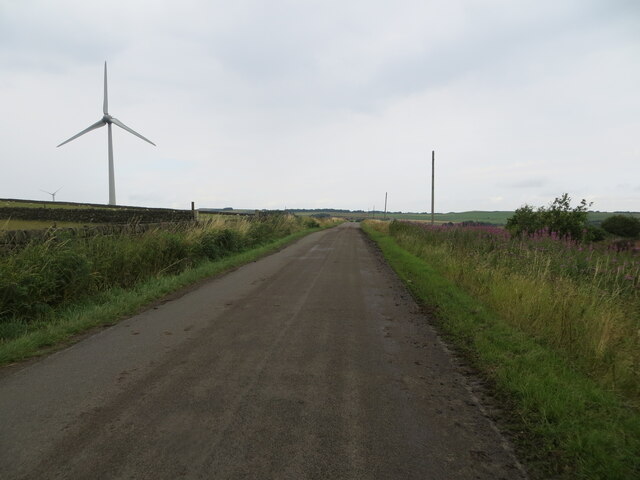
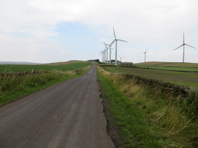
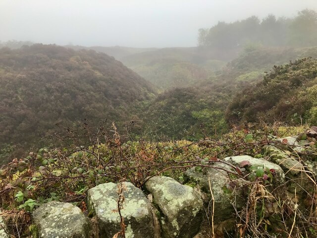
On the other hand, the moorland section of Ingbirchworth Moor presents a different landscape altogether. It is characterized by wide open spaces, heather-covered hills, and a rugged terrain. The moorland is dotted with streams and small ponds, adding to its rustic charm. The area is also known for its unique flora and fauna, including species such as grouse, curlew, and bilberry plants.
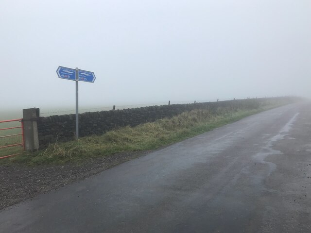
Ingbirchworth Moor is a popular destination for outdoor activities and recreation. It offers numerous opportunities for walking, hiking, and birdwatching, with well-maintained trails and paths. The moorland also attracts photographers and artists, who are captivated by its raw beauty and ever-changing colors throughout the seasons.
Overall, Ingbirchworth Moor is a haven of natural tranquility and a testament to Yorkshire's breathtaking landscapes. Whether visitors are looking to explore the downs or delve into the wild beauty of the moorland, this area offers an unforgettable experience for all who venture there.
If you have any feedback on the listing, please let us know in the comments section below.
Ingbirchworth Moor Images
Images are sourced within 2km of 53.546735/-1.6868383 or Grid Reference SE2005. Thanks to Geograph Open Source API. All images are credited.
Ingbirchworth Moor is located at Grid Ref: SE2005 (Lat: 53.546735, Lng: -1.6868383)
Division: West Riding
Unitary Authority: Barnsley
Police Authority: South Yorkshire
What 3 Words
///wrist.detect.potential. Near Denby Dale, West Yorkshire
Nearby Locations
Related Wikis

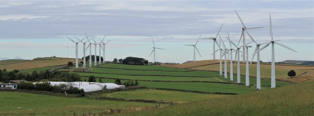
Royd Moor Wind Farm
The Royd Moor Wind Farm is located at Penistone, Barnsley, South Yorkshire, England, and consists of thirteen 450 kW turbines. The site is located approximately...

Ingbirchworth
Ingbirchworth is a village and former civil parish, now in the parish of Gunthwaite and Ingbirchworth, in the Barnsley district, in the county of South...

Gunthwaite and Ingbirchworth
Gunthwaite and Ingbirchworth is a civil parish in the Barnsley district, in the county of South Yorkshire, England. It contains the hamlet of Gunthwaite...

Catshaw
Catshaw is a hamlet in the western parts of Penistone, in the Barnsley district, in the county of South Yorkshire, England. It lies about 0.9 miles (1...

Birdsedge
Birdsedge (or Birds Edge) is a small village in the borough of Kirklees in West Yorkshire, England, on the edge of Yorkshire's Pennine Hills, standing...

Crow Edge
Crow Edge is a hamlet in Dunford civil parish, situated on the A616, two miles southeast of Hepworth, West Yorkshire in the metropolitan borough of Barnsley...

Upper Denby
Upper Denby is a small village within the civil parish of Denby Dale, and the borough of Kirklees in West Yorkshire, England. Lying 11 miles (17 km) to...

Millhouse Green
Millhouse Green is a village on the north banks of the River Don on the A628 road west of Penistone in the English county of South Yorkshire. Administratively...
Nearby Amenities
Located within 500m of 53.546735,-1.6868383Have you been to Ingbirchworth Moor?
Leave your review of Ingbirchworth Moor below (or comments, questions and feedback).