Beamish Hall Gardens
Downs, Moorland in Durham
England
Beamish Hall Gardens
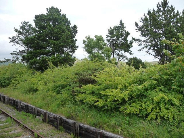
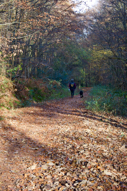
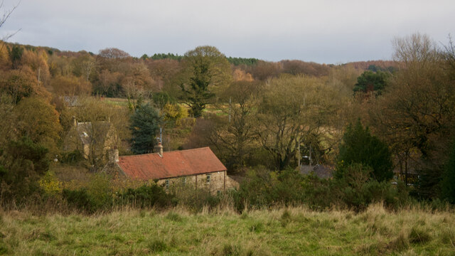
Beamish Hall Gardens is a picturesque and historic garden located in Durham, England. Situated within the expansive grounds of Beamish Hall, the gardens cover a vast area of downs and moorland, offering visitors a tranquil and serene environment to explore.
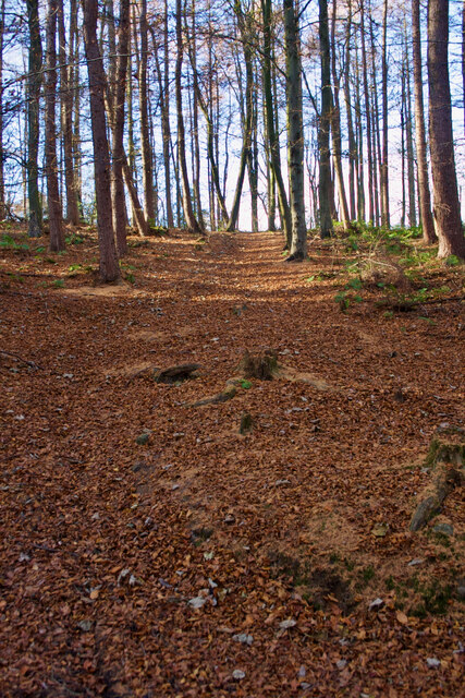
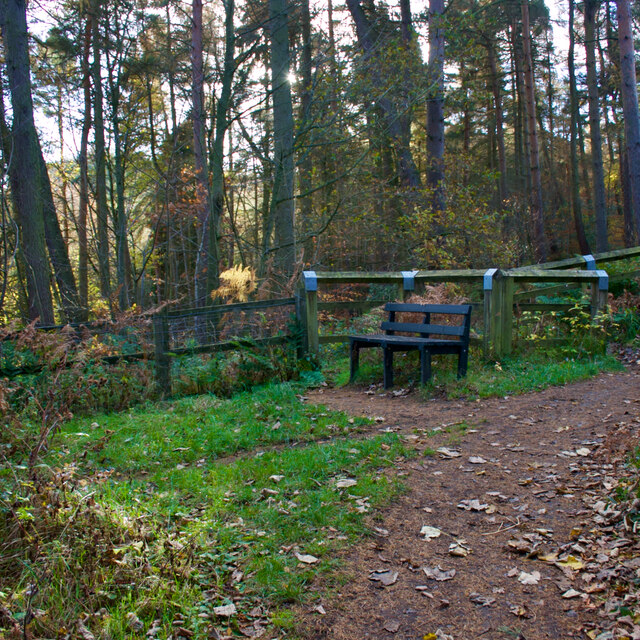
The gardens feature a diverse range of flora and fauna, with carefully manicured lawns, vibrant flower beds, and majestic trees creating a delightful visual spectacle. Visitors can meander through the winding pathways, taking in the sights and scents of the various plants and flowers that adorn the landscape.
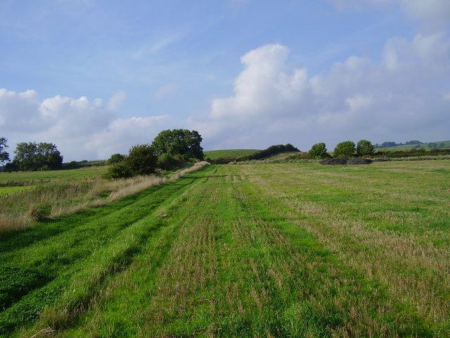
One of the highlights of the gardens is the breathtaking view of the surrounding countryside from the downs. The elevated position provides visitors with panoramic vistas of the rolling hills and lush greenery, making it a popular spot for nature enthusiasts and photographers alike.
The moorland section of Beamish Hall Gardens offers a unique ecosystem, with heather-covered hills and open expanses. This area attracts a variety of wildlife, including birds, rabbits, and even the occasional deer, making it a haven for nature lovers.
Throughout the year, the gardens host a range of events and activities, including garden tours, picnics, and outdoor concerts. The tranquil atmosphere and stunning natural beauty make it an ideal location for weddings, private functions, and corporate events.
Overall, Beamish Hall Gardens in Durham is a captivating destination for those seeking a peaceful retreat amidst nature's splendor. With its well-maintained gardens, panoramic views, and abundant wildlife, it offers a memorable experience for visitors of all ages.
If you have any feedback on the listing, please let us know in the comments section below.
Beamish Hall Gardens Images
Images are sourced within 2km of 54.886833/-1.676759 or Grid Reference NZ2054. Thanks to Geograph Open Source API. All images are credited.


Beamish Hall Gardens is located at Grid Ref: NZ2054 (Lat: 54.886833, Lng: -1.676759)
Unitary Authority: County Durham
Police Authority: Durham
What 3 Words
///helper.snows.thatched. Near Tanfield, Co. Durham
Nearby Locations
Related Wikis

Beamish Hall
Beamish Hall is a mid-18th-century country house, now converted to a hotel, which stands in 24 acres (97,000 m2) of grounds near the town of Stanley, County...

Kip Hill
Kip Hill is a village in County Durham, in England. It is situated directly to the north of Stanley, near Shield Row. It has two pubs, the Blue Bell Inn...

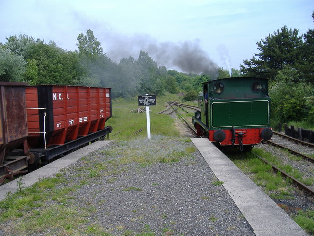
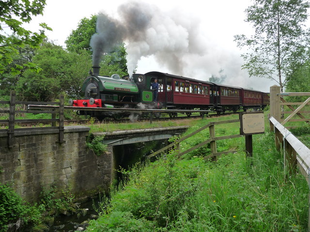
Beamish Museum
Beamish Museum is the first regional open-air museum, in England, located at Beamish, near the town of Stanley, in County Durham, England. Beamish pioneered...

Beamish Museum transport collection
Beamish Museum contains much of transport interest, and the size of its site makes good internal transportation for visitors and staff purposes a necessity...
West Stanley railway station
West Stanley railway station was a railway station on the North Eastern Railway serving the town of Stanley in County Durham, England. == History == The...
Causey, County Durham
Causey is a village in County Durham, in England. It is situated a short distance to the north of Stanley. == Demographic Information == Village contains...
West Stanley Pit disasters
The West Stanley Pit disasters refers to two explosions at the West Stanley colliery (variously known as West Stanley pit or Burns pit). West Stanley colliery...

No Place
No Place is a small village near the town of Stanley in County Durham, England, east of Stanley and west of Beamish. Situated to the south of the A693...
Nearby Amenities
Located within 500m of 54.886833,-1.676759Have you been to Beamish Hall Gardens?
Leave your review of Beamish Hall Gardens below (or comments, questions and feedback).