Burnt Heath

Downs, Moorland in Derbyshire Derbyshire Dales

England

Burnt Heath

Sunlight on pastureland, E of Wardlow
Sunlight on pastureland, E of Wardlow Credit: Colin Park

Burnt Heath is a picturesque area located in Derbyshire, England, known for its natural beauty and diverse landscapes. It is situated on the outskirts of the town of Derby and covers a vast expanse of downs and moorland. The name "Burnt Heath" is derived from the historical practice of controlled burning, which was used to manage the vegetation and promote new growth.

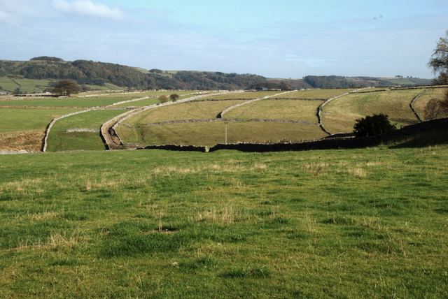
The downs of Burnt Heath are characterized by rolling hills covered in lush grasslands. These open spaces provide a habitat for a variety of plant and animal species, including wildflowers, butterflies, and birds. The downs offer breathtaking views of the surrounding countryside and are popular among nature enthusiasts and hikers.

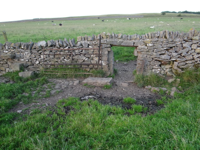
In contrast, the moorland areas of Burnt Heath are characterized by rugged terrain, heather-covered hills, and peat bogs. This unique landscape is home to a diverse range of wildlife, including grouse, deer, and various bird species. The moorland also boasts several walking trails and paths, allowing visitors to explore the area and soak in its natural beauty.

Burnt Heath is a haven for outdoor activities, with opportunities for hiking, birdwatching, and photography. The area is also rich in history, with archaeological remains dating back to the Iron Age. Visitors can explore ancient burial mounds and stone circles, gaining insight into the area's fascinating past.

Overall, Burnt Heath in Derbyshire offers a captivating blend of downs and moorland, providing visitors with a unique and enriching experience amidst the unspoiled beauty of nature.

If you have any feedback on the listing, please let us know in the comments section below.

Burnt Heath Images

Images are sourced within 2km of 53.275933/-1.6960175 or Grid Reference SK2075. Thanks to Geograph Open Source API. All images are credited.

Sunlight on pastureland, E of Wardlow
Path across Longstone Moor Beware of open mine shafts.
Path across Longstone Moor
Beware of open mine shafts.
Step-through Way over the wall on the footpath from Wardlow to Housley.
Step-through
Way over the wall on the footpath from Wardlow to Housley.
The hole in the wall Sheep and dogs can't go over stiles as easily as us humans, so a small door-like hole is available instead.
The hole in the wall
Sheep and dogs can't go over stiles as easily as us humans, so a small door-like hole is available instead.
Old Leadmines at White Rake Frozen landscape at the western end of the old mineworkings. The inflow which is gradually filling the flash, created in the abandoned workings, can be seen in the foreground.
Old Leadmines at White Rake
Frozen landscape at the western end of the old mineworkings. The inflow which is gradually filling the flash, created in the abandoned workings, can be seen in the foreground.
Barrow on Middleton Moor Looking westwards towards Wardlow on a superb afternoon in early January.
Barrow on Middleton Moor
Looking westwards towards Wardlow on a superb afternoon in early January.
Footpath on Longstone Moor
Footpath towards Longstone Moor
Start of a footpath across Longstone Moor The path runs due south and crosses Watersaw Rake
Start of a footpath across Longstone Moor
The path runs due south and crosses Watersaw Rake
A623 , looking east
A623 , looking east
Cattle grazing, White Rake North of Longstone Moor, near Wardlow.
Cattle grazing, White Rake
North of Longstone Moor, near Wardlow.
A Stile on the Moors, near Wardlow, Derbyshire A lone timber stile on the public footpath from Longstone Moor towards Housley, in the White Peak, Derbyshire.

Slightly more dilapidated than it was eight years ago in 2013: <a href="https://www.geograph.org.uk/photo/3678940">SK1974 : Forlorn old stiles</a>
A Stile on the Moors, near Wardlow, Derbyshire
A lone timber stile on the public footpath from Longstone Moor towards Housley, in the White Peak, Derbyshire. Slightly more dilapidated than it was eight years ago in 2013: SK1974 : Forlorn old stiles
Stile on a path across Longstone Moor
Old lead mine
Old lead mine
Watering station and view to Wardlow Mires At the northern edge of Longstone Moor. It's primarily sheep up here.
Watering station and view to Wardlow Mires
At the northern edge of Longstone Moor. It's primarily sheep up here.
Drystone wall on Longstone Moor With a good view towards Wardlow Mires
Drystone wall on Longstone Moor
With a good view towards Wardlow Mires
Pair of sheep on Longstone Moor Probably a ewe (standing) with her now almost fully grown lamb born in the springtime.
Pair of sheep on Longstone Moor
Probably a ewe (standing) with her now almost fully grown lamb born in the springtime.
Show me another place!

Burnt Heath is located at Grid Ref: SK2075 (Lat: 53.275933, Lng: -1.6960175)

Administrative County: Derbyshire

District: Derbyshire Dales

Police Authority: Derbyshire

What 3 Words

///scrambles.worked.lurching. Near Tideswell, Derbyshire

Nearby Locations

Burnt Heath

Related Wikis

Bretton, Derbyshire

Bretton, Derbyshire is a hamlet in Derbyshire, England. Set on a ridge with a panoramic view, it has few inhabitants but boasts a pub called the Barrel...
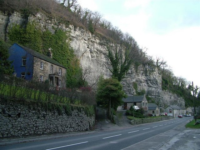
Middleton Dale

Middleton Dale is a steep-sided, carboniferous limestone valley in the Derbyshire Peak District of England. The village of Stoney Middleton lies at the...

Brosterfield

Brosterfield is a hamlet in Derbyshire, England. It is located close to Foolow, where the road to that village joins the A623 road.

St Lawrence's Church, Eyam

St Lawrence’s Church, Eyam is a Grade II* listed parish church in the Church of England in Eyam, Derbyshire. == History == The church is medieval with...

Nearby Amenities

Located within 500m of 53.275933,-1.6960175
Barrier: stile
Foot: yes
Lat/Long: 53.2738779/-1.6938998
Bird Hide
Building: hut
Lat/Long: 53.2727535/-1.6957129
Parking
Capacity: 6
Lat/Long: 53.2737643/-1.6894249
Power: pole
Lat/Long: 53.2725935/-1.6933469
Power: pole
Lat/Long: 53.2720048/-1.6925691
The data included in this document is from www.openstreetmap.org. The data is made available under ODbL.

Have you been to Burnt Heath?

Leave your review of Burnt Heath below (or comments, questions and feedback).