Hasland
Settlement in Derbyshire Chesterfield
England
Hasland

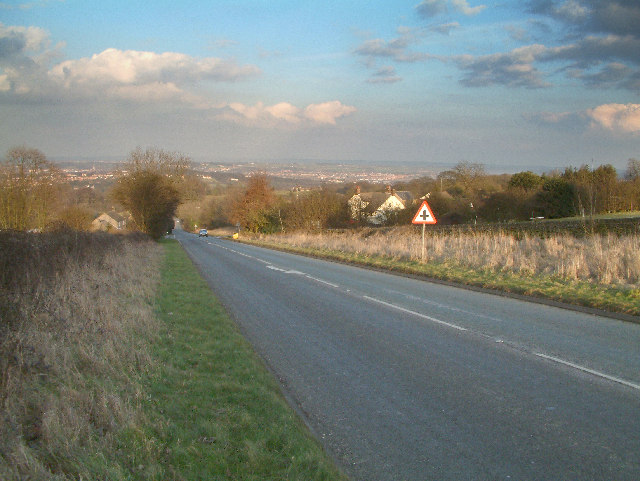
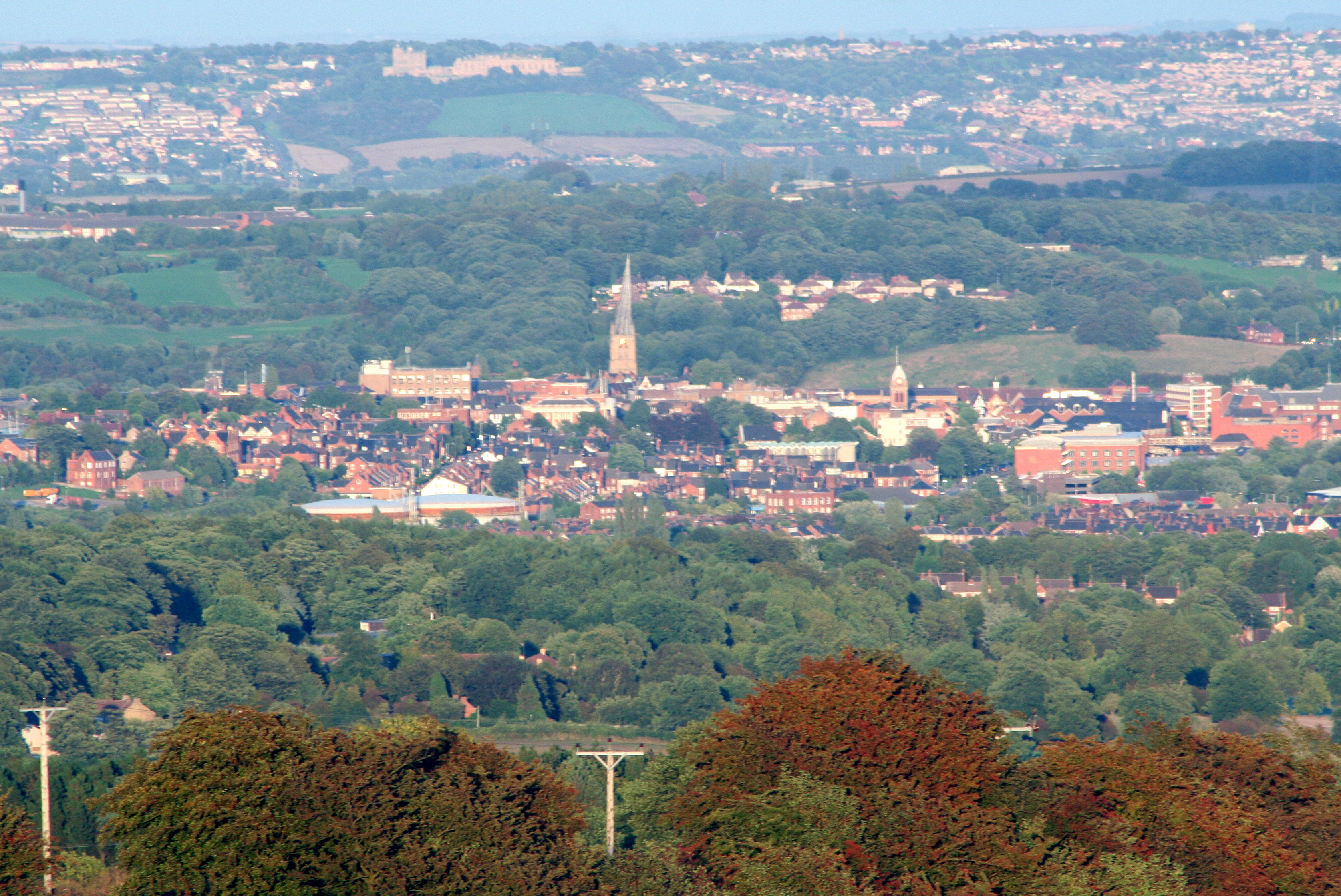
Hasland is a small suburban village located in the county of Derbyshire, England. Situated just south of the town of Chesterfield, it lies within the borough of Chesterfield and has a population of approximately 8,600 residents.
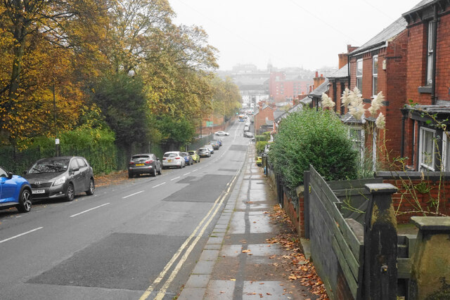
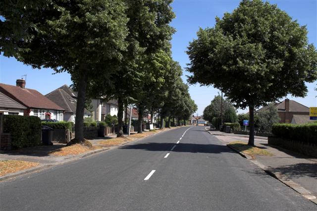
Hasland is predominantly a residential area, characterized by a mix of housing types including detached and semi-detached houses, as well as some apartment complexes. The village boasts a peaceful atmosphere with tree-lined streets and well-maintained green spaces, providing a pleasant environment for its residents.
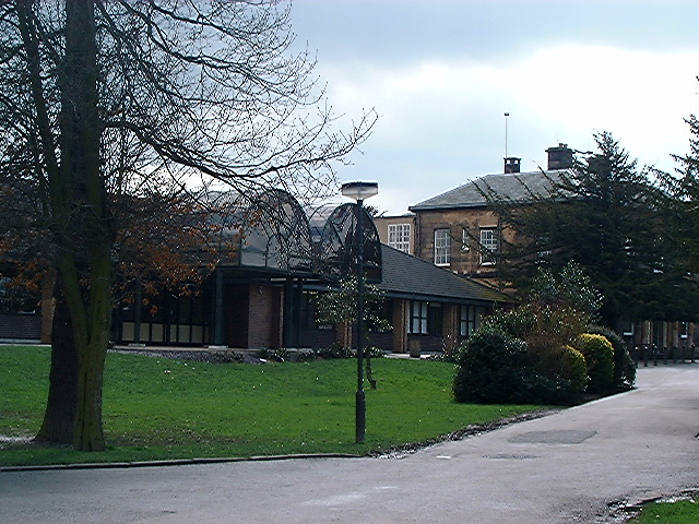
The village is well-served by various amenities and facilities, including several schools, a library, a medical center, and a range of shops and services. Hasland also benefits from excellent transport links, with easy access to the A617 road, connecting it to major nearby towns and cities. In addition, there are regular bus services providing connections to Chesterfield and surrounding areas.
For recreational activities, residents of Hasland can take advantage of the nearby Eastwood Park, a public green space with a children's play area, sports fields, and walking trails. The village also has a few local pubs and restaurants, providing options for dining and socializing.
Overall, Hasland offers a pleasant and convenient place to live, with its peaceful residential atmosphere, range of amenities, and easy access to neighboring towns.
If you have any feedback on the listing, please let us know in the comments section below.
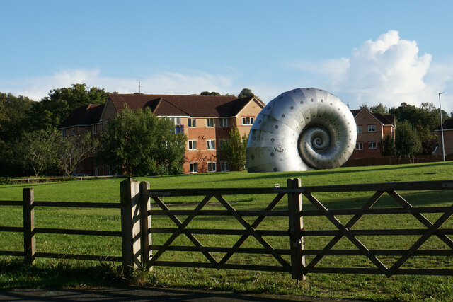
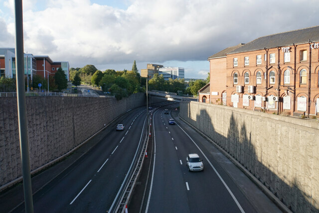
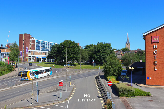
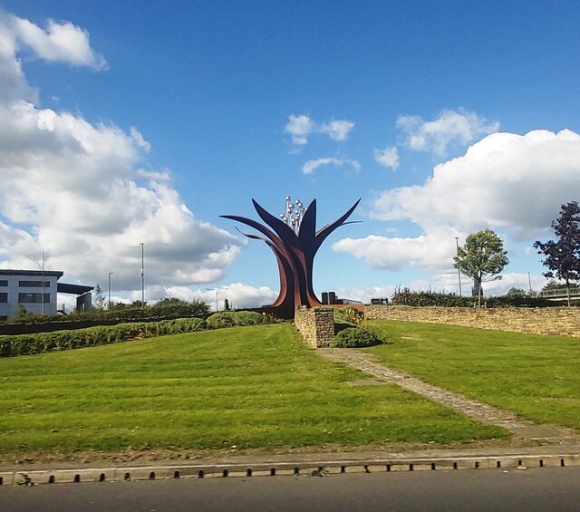
Hasland Images
Images are sourced within 2km of 53.221855/-1.40784 or Grid Reference SK3969. Thanks to Geograph Open Source API. All images are credited.


Hasland is located at Grid Ref: SK3969 (Lat: 53.221855, Lng: -1.40784)
Administrative County: Derbyshire
District: Chesterfield
Police Authority: Derbyshire
What 3 Words
///opera.trip.into. Near Wingerworth, Derbyshire
Nearby Locations
Related Wikis

Hasland
Hasland is a suburb of Chesterfield in the Borough of Chesterfield in Derbyshire, England. Hasland is located south of Spital, east of Birdholme and north...
Outwood Academy Hasland Hall
Outwood Academy Hasland Hall (formerly Hasland Hall Community School) is a co-educational secondary school situated in Hasland, a village in Chesterfield...
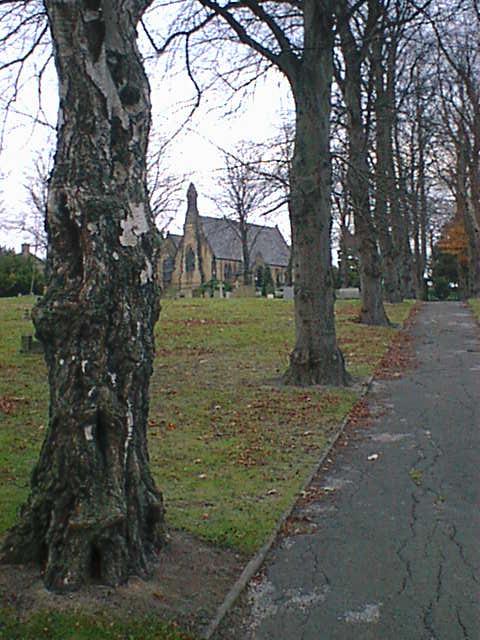
St Paul's Church, Hasland
St Paul's Church, Hasland is a Grade II listed parish church in the Church of England: 150 in Hasland, Derbyshire. == History == The church was built...
Birdholme
Birdholme is a suburb of the town of Chesterfield, Derbyshire, England. To its south is Wingerworth, to its north is the town centre, to its west is Boythorpe...
A632 road
The A632 is a major road in Derbyshire and Nottinghamshire, England. It starts in Matlock (53.1347°N 1.5485°W / 53.1347; -1.5485 (A632 road (western...

Edwin Swale
Wing Commander Edwin Swale (28 June 1899 – 19 July 1978) was an English First World War flying ace credited with 17 aerial victories. His victory list...
Horns Bridge
Horns Bridge is a small area on the southeastern edge of Chesterfield, Derbyshire, England which was remarkable at one time for its congested intersection...
Borough of Chesterfield
The Borough of Chesterfield is a non-metropolitan district with borough status in Derbyshire, England. It is named after the town of Chesterfield, its...
Nearby Amenities
Located within 500m of 53.221855,-1.40784Have you been to Hasland?
Leave your review of Hasland below (or comments, questions and feedback).