Ashbourne Green
Downs, Moorland in Derbyshire Derbyshire Dales
England
Ashbourne Green
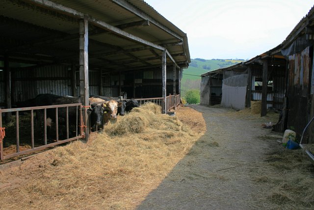
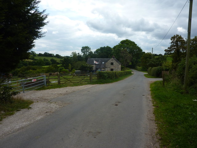
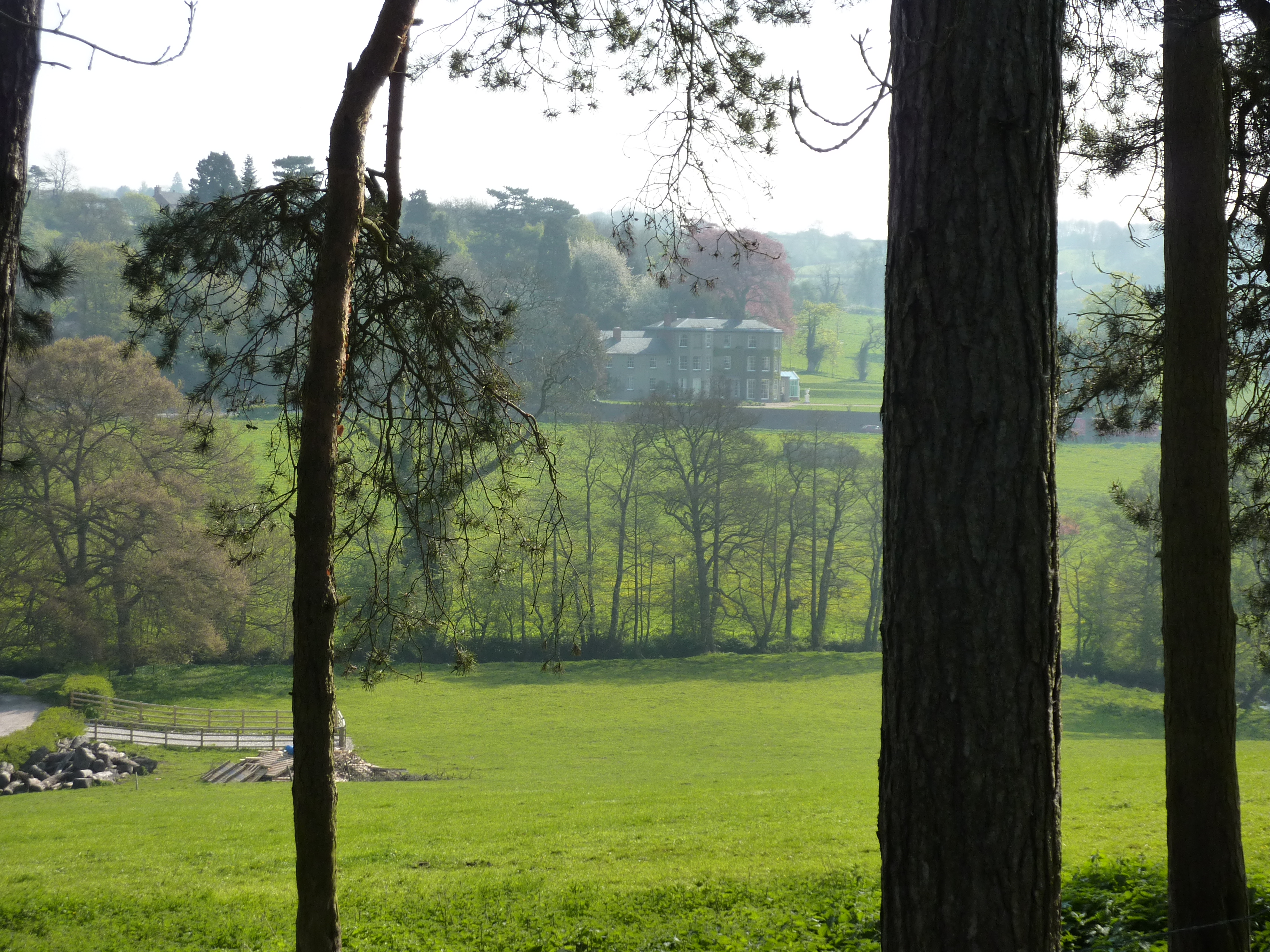
Ashbourne Green is a picturesque area located in the county of Derbyshire, England. Situated amidst the stunning landscape of the Derbyshire Dales, it is renowned for its charming countryside, encompassing downs and moorland.
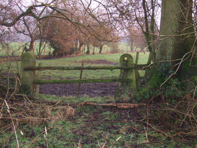
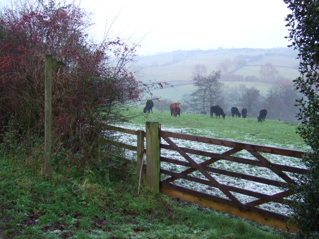
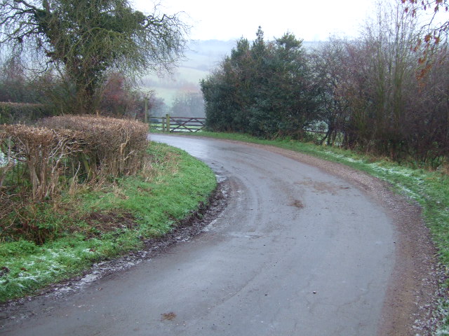
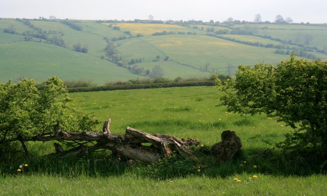
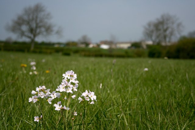
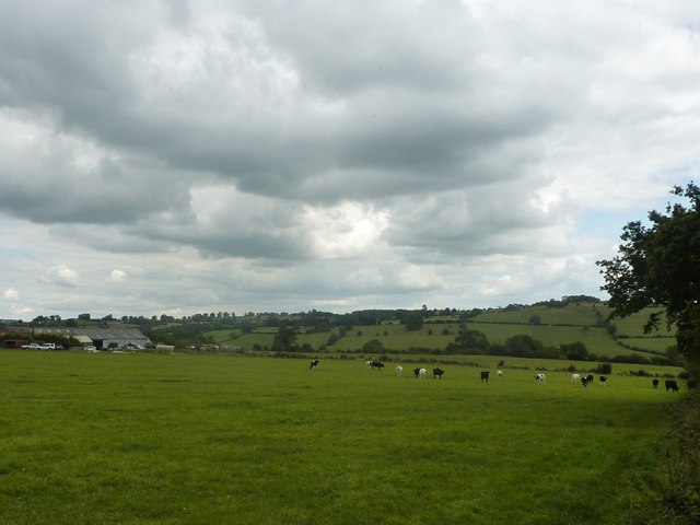
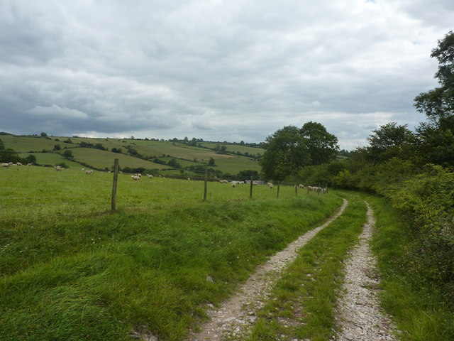
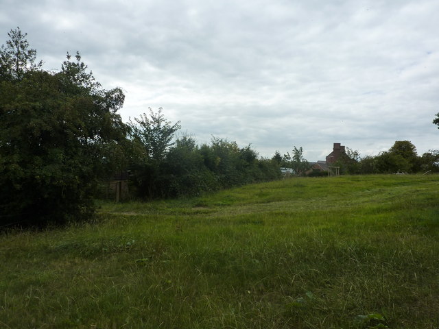
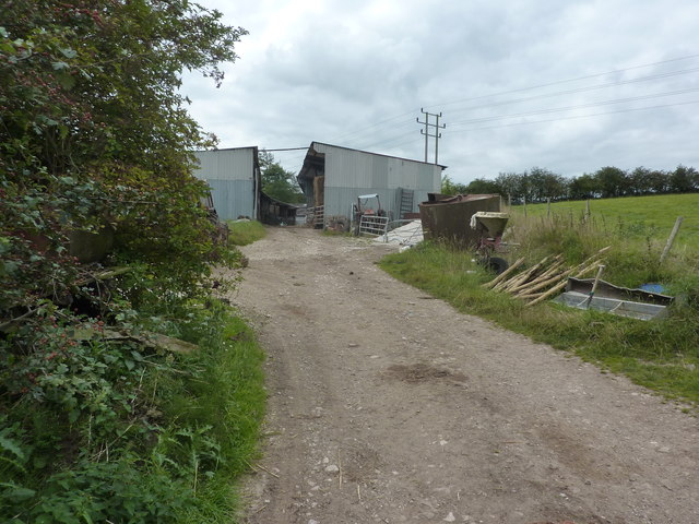
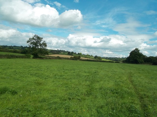
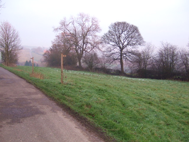
The downs of Ashbourne Green are characterized by rolling hills covered in lush green grass and dotted with scattered trees and shrubs. This idyllic scenery attracts nature enthusiasts who enjoy walking or picnicking in the open fields, taking in the panoramic views, and immersing themselves in the tranquility of the surroundings.
Adjacent to the downs, the moorland of Ashbourne Green offers a contrasting landscape. Here, visitors can witness vast expanses of heather-covered hills, interspersed with rocky outcrops and small streams. The moorland is home to a diverse range of flora and fauna, including heather, bilberry bushes, and various species of birds, making it a haven for wildlife lovers and birdwatchers.
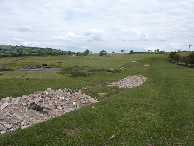
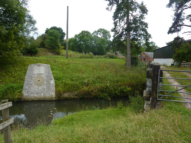
Ashbourne Green is not only a haven for nature enthusiasts but also appeals to history buffs. The area is steeped in history, with numerous ancient monuments and archaeological sites scattered throughout. These include burial mounds, stone circles, and remnants of ancient settlements, providing a glimpse into the area's rich and fascinating past.
Overall, Ashbourne Green in Derbyshire offers a blend of natural beauty, serene countryside, and historical significance. Whether exploring the downs, traversing the moorland, or discovering the area's ancient heritage, visitors are sure to find a sense of peace and wonder in this charming destination.
If you have any feedback on the listing, please let us know in the comments section below.
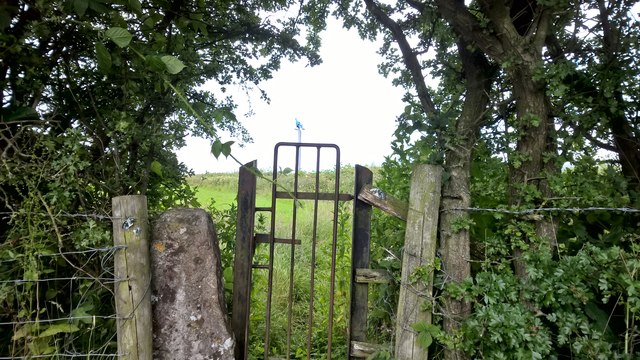
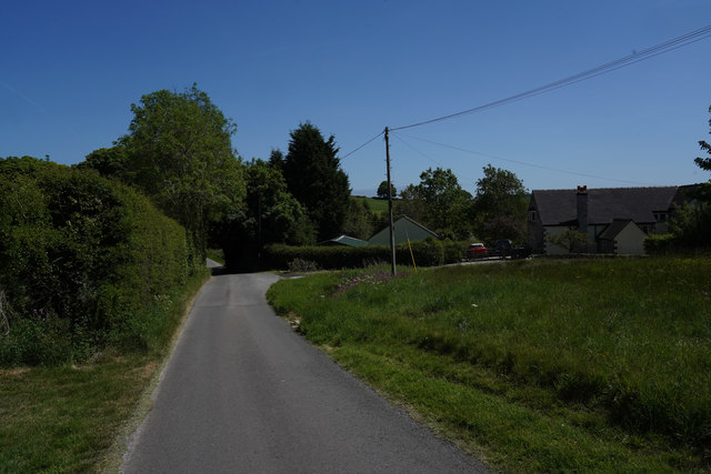
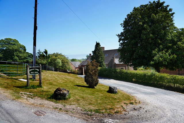
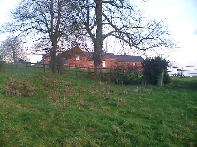
Ashbourne Green Images
Images are sourced within 2km of 53.027427/-1.7153895 or Grid Reference SK1947. Thanks to Geograph Open Source API. All images are credited.
Ashbourne Green is located at Grid Ref: SK1947 (Lat: 53.027427, Lng: -1.7153895)
Administrative County: Derbyshire
District: Derbyshire Dales
Police Authority: Derbyshire
What 3 Words
///receive.daytime.likening. Near Ashbourne, Derbyshire
Nearby Locations
Related Wikis
Ashbourne Green
Ashbourne Green is an area of Derbyshire, England. It is located in the Peak District, 1 mile north-east of Ashbourne in the Offcote and Underwood parish...
Offcote and Underwood
Offcote and Underwood is a civil parish within the Derbyshire Dales district, in the county of Derbyshire, England. Largely rural, in 2011 the parish had...

Queen Elizabeth's Grammar School, Ashbourne
Queen Elizabeth's School (QEGS) is a non-selective academy school for 11- to 18-year-olds in the town of Ashbourne, Derbyshire, England. In the academic...

Ashbourne Hall
Ashbourne Hall is a Manor house originally built by the Cockayne family in the 13th century in Ashbourne, Derbyshire. The present building is part of a...

Ashbourne Town Hall
Ashbourne Town Hall is a municipal building in the Market Place, Ashbourne, Derbyshire, England. The town hall, which is the meeting place of Ashbourne...

Green Man, Ashbourne
The Green Man & Black's Head Royal Hotel (sometimes simply the Green Man) is a public house and hotel on St John Street (the A515) in the town centre of...

Ashbourne, Derbyshire
Ashbourne is a market town in the Derbyshire Dales district in Derbyshire, England. Its population was measured at 8,377 in the 2011 census and was estimated...

Ashbourne Urban District
Ashbourne was an Urban District in Derbyshire, England from 1894 to 1974. It was created under the Local Government Act 1894. It was enlarged in 1934 when...
Nearby Amenities
Located within 500m of 53.027427,-1.7153895Have you been to Ashbourne Green?
Leave your review of Ashbourne Green below (or comments, questions and feedback).