Lombard's Green
Downs, Moorland in Derbyshire Derbyshire Dales
England
Lombard's Green

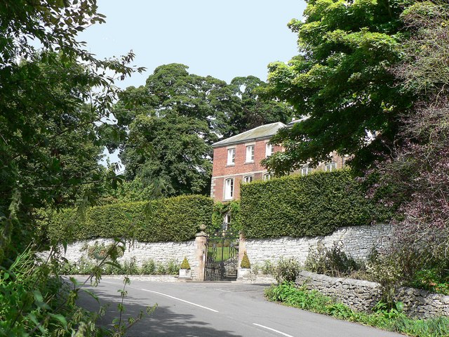
Lombard's Green, located in Derbyshire, England, is a picturesque village surrounded by beautiful countryside, including downs and moorland. Nestled in the heart of the Peak District National Park, Lombard's Green offers breathtaking views and a peaceful retreat from the bustling city life.
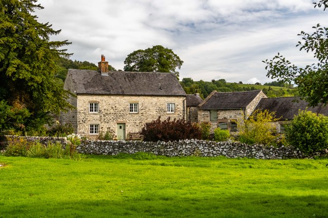
The village itself is characterized by its traditional stone-built houses and charming cottages, giving it a quintessential English countryside feel. The community is small but close-knit, with a friendly atmosphere that welcomes visitors with open arms.
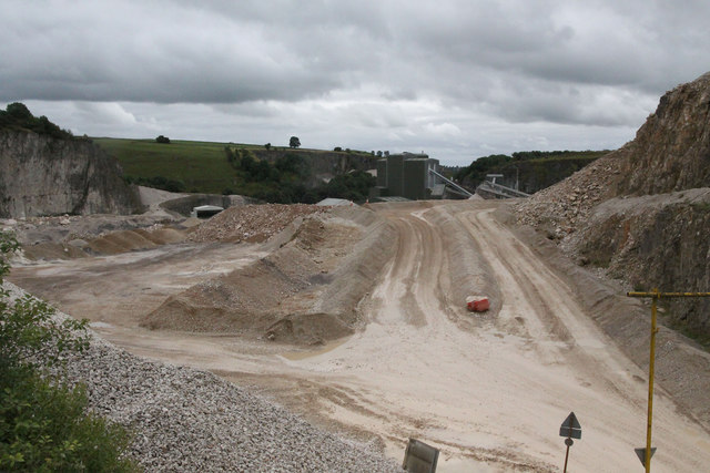
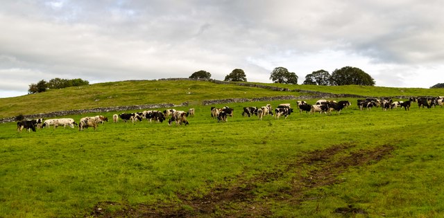
Lombard's Green is renowned for its diverse natural landscapes. The downs, with their rolling hills and lush green meadows, offer ample opportunities for hiking, picnicking, and enjoying the serene beauty of the countryside. The moorland, on the other hand, presents a more rugged terrain, with wild heather-covered hills and rocky outcrops. This attracts outdoor enthusiasts looking for a challenge, as well as nature lovers keen to spot rare wildlife and bird species.
The village is also a gateway to many popular attractions in the area. Just a short drive away, visitors can explore the historic Chatsworth House, known for its stunning architecture and extensive gardens. The nearby town of Bakewell is famous for its delicious Bakewell pudding and hosts a bustling market every Monday.
Overall, Lombard's Green, Derbyshire, offers a perfect blend of tranquility, natural beauty, and access to nearby attractions, making it an ideal destination for those seeking a peaceful retreat or an adventurous getaway amidst the stunning British countryside.
If you have any feedback on the listing, please let us know in the comments section below.
Lombard's Green Images
Images are sourced within 2km of 53.096667/-1.7219073 or Grid Reference SK1855. Thanks to Geograph Open Source API. All images are credited.


Lombard's Green is located at Grid Ref: SK1855 (Lat: 53.096667, Lng: -1.7219073)
Administrative County: Derbyshire
District: Derbyshire Dales
Police Authority: Derbyshire
What 3 Words
///slugs.guesswork.lightbulb. Near Newhaven, Derbyshire
Nearby Locations
Related Wikis

Parwich Hall
Parwich Hall is a privately owned 18th-century mansion house at Parwich, near Ashbourne, Derbyshire Dales. It is a Grade II* listed building.The Manor...
Parwich
Parwich is a village and parish in the Derbyshire Dales, 7 miles north of Ashbourne. In the 2011 census the population of the civil parish was 472.Village...

Ballidon Dale
Ballidon Dale is a steep-sided, dry carboniferous limestone valley near Parwich in the Derbyshire Peak District of England. The ancient hamlet of Ballidon...

St Peter's Church, Parwich
St Peter’s Church, Parwich is a Grade II* listed parish church in the Church of England in Parwich, Derbyshire. == History == The medieval church was demolished...

Ballidon
Ballidon is a village and civil parish in the Derbyshire Dales district of Derbyshire, England, on the edge of the Peak District National Park. According...
All Saints Church, Ballidon
All Saints Church is a redundant Anglican church located to the south of the village of Ballidon, Derbyshire, England. It is recorded in the National...

Alsop en le Dale
Alsop en le Dale is a village in Derbyshire, England about 5 miles (8.0 km) north of Ashbourne close to the Staffordshire border, and a mile from Dovedale...

St Michael and All Angels' Church, Alsop-en-le-Dale
St Michael and all Angels' Church, Alsop en le Dale is a Grade II listed parish church in the Church of England in Alsop en le Dale, Derbyshire. ��2�...
Nearby Amenities
Located within 500m of 53.096667,-1.7219073Have you been to Lombard's Green?
Leave your review of Lombard's Green below (or comments, questions and feedback).