Featherbed Moss
Downs, Moorland in Yorkshire
England
Featherbed Moss

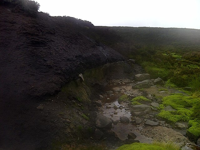
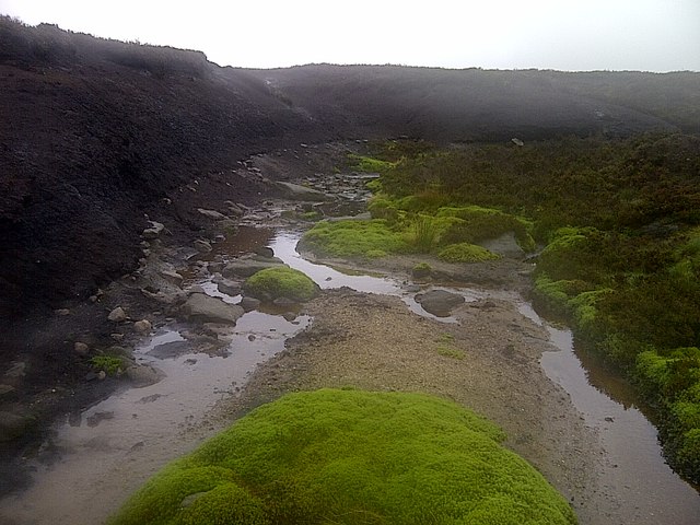
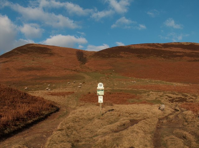
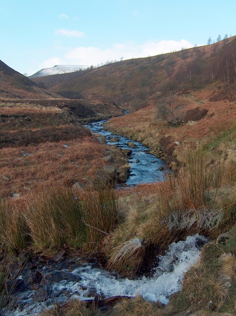
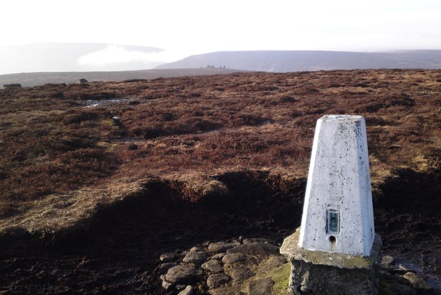
Featherbed Moss is a stunning area located in Yorkshire, England known for its rugged beauty and remote location. Situated on the Yorkshire Downs, this moorland landscape is characterized by its rolling hills, heather-covered moors, and diverse wildlife.
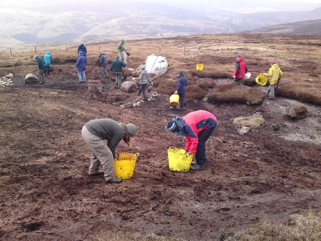
The area is popular among hikers and nature enthusiasts looking to escape the hustle and bustle of city life. Featherbed Moss offers a peaceful and tranquil setting, with stunning views of the surrounding countryside.
Visitors to Featherbed Moss can expect to see a variety of bird species, including grouse and curlews, as well as other wildlife such as rabbits and deer. The area is also home to a number of rare plant species, making it a haven for botanists and nature lovers.
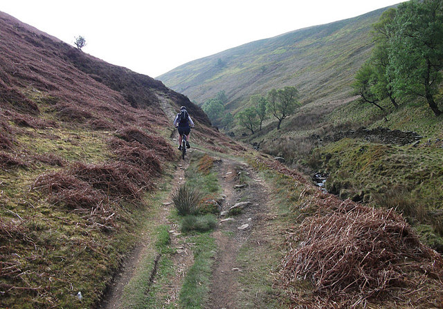
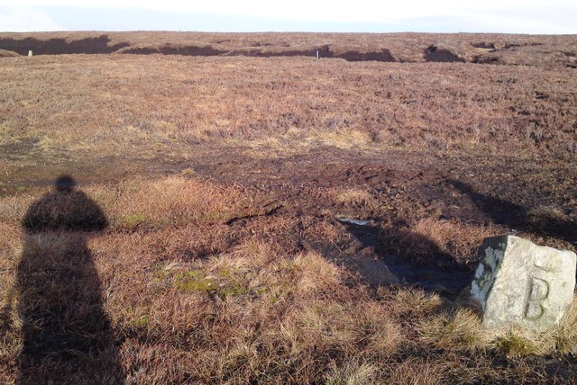
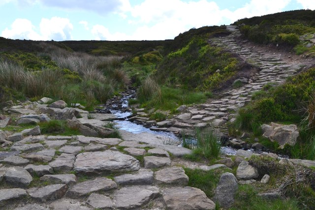
Hiking trails crisscross the moorland, allowing visitors to explore the area on foot and take in the breathtaking scenery. The landscape at Featherbed Moss is constantly changing with the seasons, offering visitors a different experience each time they visit.
Overall, Featherbed Moss is a hidden gem in Yorkshire, offering a peaceful and unspoiled natural environment for visitors to enjoy.
If you have any feedback on the listing, please let us know in the comments section below.
Featherbed Moss Images
Images are sourced within 2km of 53.465375/-1.7208313 or Grid Reference SK1896. Thanks to Geograph Open Source API. All images are credited.


![View North to Cranberry Bed Mosley Bank[left], Crow Stones Edge[Centre] and Little Moor[right].](https://s1.geograph.org.uk/geophotos/02/91/52/2915249_fdca862c.jpg)
Featherbed Moss is located at Grid Ref: SK1896 (Lat: 53.465375, Lng: -1.7208313)
Division: West Riding
Unitary Authority: Sheffield
Police Authority: South Yorkshire
What 3 Words
///reclining.shaky.stiffly. Near Stocksbridge, South Yorkshire
Nearby Locations
Related Wikis

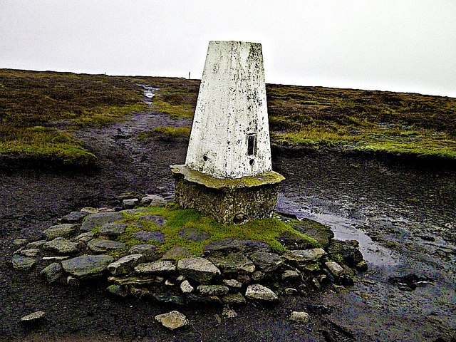
Margery Hill
Margery Hill is a 546-metre (1,791 ft) hill on the Howden Moors in South Yorkshire, England. It lies towards the northern boundary of the Peak District...

Howden Edge
Howden Edge (grid reference SK187943) is a peak in the north-east of the Upper Derwent Valley area of the Peak District National Park in England. At 545...

High Stones
High Stones, at 548 metres (1,798 ft), is the highest point within the boundaries of both the City of Sheffield and South Yorkshire, England.High Stones...

Howden Reservoir
The Howden Reservoir is a Y-shaped reservoir, the uppermost of the three in the Upper Derwent Valley, England. The western half of the reservoir lies in...
Related Videos

Hiking Around Howden and Wild Swimming at Slippery Stones | Peak District Walks
Birthday hike up Cut Gate, up to Margery Stomes and then back down through Howden Clough, finishing with a swim at Slippery ...

Margery Hill and Outer Edge - A 10.25 Mile Circular Peak District Hike. #peakdistrict #summit #hike
This is my last video of 2023. I want to thank everyone for their support over the last year and take this opportunity to wish you all a ...

Peak District - Margery Stones Wild Camp
With the weather looking like snow, I decided to make the most of it and head over to the Peaks and then up in the direction of ...
Margery Hill Trig Point #peakdistrict #summit #margeryhill
A 10.25 mile hike from Flouch to Margery Hill and Outer Edge Trigs. #peakdistrict #summit #peakhike.
Nearby Amenities
Located within 500m of 53.465375,-1.7208313Have you been to Featherbed Moss?
Leave your review of Featherbed Moss below (or comments, questions and feedback).