Cow Pasture

Downs, Moorland in Yorkshire Richmondshire

England

Cow Pasture

Jagger Lane An ancient pannierway linking the lead smelting mills with Melsonby and beyond. The name derives from the local name of the sturdy German horses used to carry the smelted ore to the Tees ports of Yarm and Worsall for shipment to London.

Lead has been quarried and smelted in these parts since the Roman times.
Jagger Lane Credit: Mick Garratt

Cow Pasture is a picturesque area situated in the rural region of Yorkshire, England. Known for its stunning landscapes, the region encompasses both the Yorkshire Downs and Moorland, offering visitors a diverse and captivating natural environment.

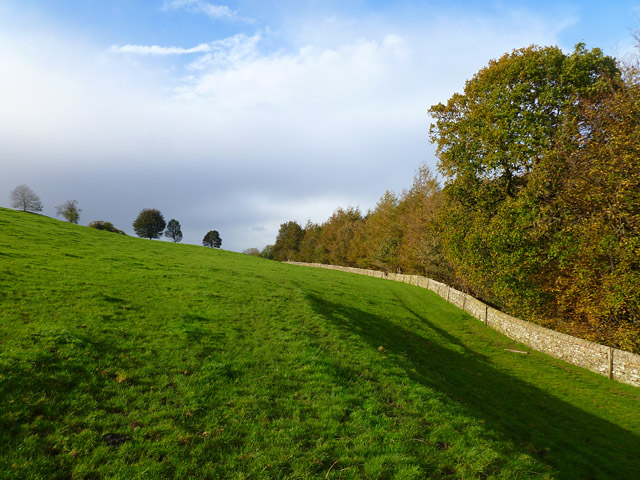
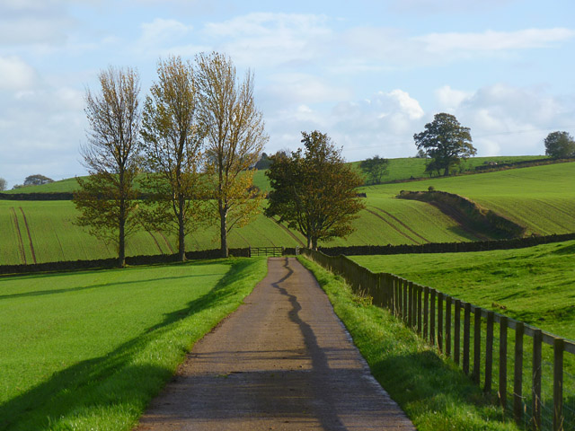
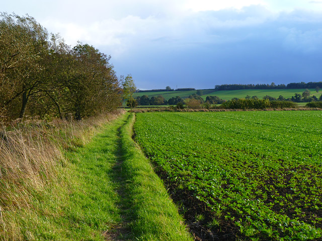
The Yorkshire Downs, characterized by rolling hills and vast open spaces, provide a tranquil setting for those seeking a peaceful escape. The lush green pastures, dotted with grazing cows, create a quintessential English countryside scene. The Downs are ideal for leisurely walks, picnics, and exploring the abundant flora and fauna that call this area home.

On the other hand, the Moorland in Cow Pasture offers a more rugged and wild landscape. With its expansive heather-covered hills, deep valleys, and rocky outcrops, the Moorland showcases the raw beauty of nature. Visitors can experience the breathtaking views from the hilltops or venture into the valleys to discover hidden waterfalls and streams.

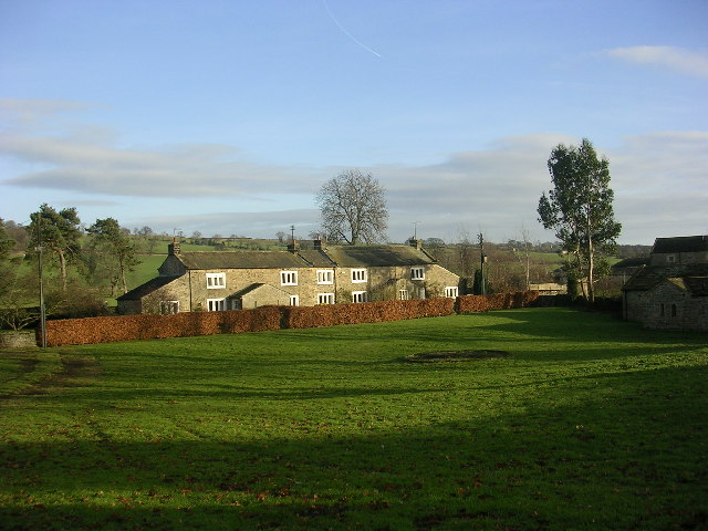
Both the Downs and Moorland in Cow Pasture are rich in history and culture. The area is scattered with ancient ruins, stone circles, and burial sites, reflecting its long-standing heritage. Additionally, the local communities celebrate traditional agricultural practices, with many farms still in operation today, offering visitors a glimpse into the region's farming traditions.

Overall, Cow Pasture, Yorkshire (Downs, Moorland) is a captivating destination that combines serene countryside charm with untamed natural beauty. It is a haven for outdoor enthusiasts, history lovers, and those seeking an authentic rural experience.

If you have any feedback on the listing, please let us know in the comments section below.

Cow Pasture Images

Images are sourced within 2km of 54.443112/-1.7224633 or Grid Reference NZ1805. Thanks to Geograph Open Source API. All images are credited.

Jagger Lane An ancient pannierway linking the lead smelting mills with Melsonby and beyond. The name derives from the local name of the sturdy German horses used to carry the smelted ore to the Tees ports of Yarm and Worsall for shipment to London.

Lead has been quarried and smelted in these parts since the Roman times.
Jagger Lane
An ancient pannierway linking the lead smelting mills with Melsonby and beyond. The name derives from the local name of the sturdy German horses used to carry the smelted ore to the Tees ports of Yarm and Worsall for shipment to London. Lead has been quarried and smelted in these parts since the Roman times.
Fish Pond near Lambert Wood
Tree in a Field Seen from Leadmill Lane.
Tree in a Field
Seen from Leadmill Lane.
Tree in a Field Near Hartforth Wood.
Tree in a Field
Near Hartforth Wood.
View of Hartforth Hall From across the meadows of Hatforth Beck.
View of Hartforth Hall
From across the meadows of Hatforth Beck.
Hartforth Hall Now a hotel.
Hartforth Hall
Now a hotel.
Jagger Lane An ancient pannierway linking the lead smelting mills with Melsonby and beyond. The name derives from the local name of the sturdy German horses used to carry the smelted ore to the Tees ports of Yarm and Worsall for shipment to London.

Lead has been quarried and smelted in these parts since the Roman times.
Jagger Lane
An ancient pannierway linking the lead smelting mills with Melsonby and beyond. The name derives from the local name of the sturdy German horses used to carry the smelted ore to the Tees ports of Yarm and Worsall for shipment to London. Lead has been quarried and smelted in these parts since the Roman times.
Bridge over Hartforth Beck Carrying the ancient track, Jagger Lane.
Bridge over Hartforth Beck
Carrying the ancient track, Jagger Lane.
Home Farm A new build architecturally designed to blend in with the adjacent listed Georgian farm buildings, apparently. The architects were Francis Johnson and Partners and the design won a prestigious architectural award in 2009. Local opinion is somewhat divided.

In the foreground a JCB is working on Hartforth Beck and producing much exhaust fumes.
Home Farm
A new build architecturally designed to blend in with the adjacent listed Georgian farm buildings, apparently. The architects were Francis Johnson and Partners and the design won a prestigious architectural award in 2009. Local opinion is somewhat divided. In the foreground a JCB is working on Hartforth Beck and producing much exhaust fumes.
Pasture and woodland, Gilling The public bridleway follows the edge of The Ashes to the west of Gillingwood Hall.
Pasture and woodland, Gilling
The public bridleway follows the edge of The Ashes to the west of Gillingwood Hall.
Farmland and track, Hartforth The public bridleway heading towards Crabtree House Farm from Hartforth Wood and Whashton.
Farmland and track, Hartforth
The public bridleway heading towards Crabtree House Farm from Hartforth Wood and Whashton.
Farmland, Hartforth A cereal crop and the edge of Hartforth Wood.
Farmland, Hartforth
A cereal crop and the edge of Hartforth Wood.
Farm road and farmland, Gilling The public bridleway heading away from Gillingwood Hall.
Farm road and farmland, Gilling
The public bridleway heading away from Gillingwood Hall.
Pasture, Gilling Cattle and a view across the valley of Gilling Beck from the footpath between Gilling and Hartforth.
Pasture, Gilling
Cattle and a view across the valley of Gilling Beck from the footpath between Gilling and Hartforth.
Farmland, Hartforth A view across arable fields separated by Hartforth Lane. Moor End Plantation is to the right of picture.
Farmland, Hartforth
A view across arable fields separated by Hartforth Lane. Moor End Plantation is to the right of picture.
Farmland, Gilling The footpath heading towards Skeeby beside a crop of oil-seed rape.
Farmland, Gilling
The footpath heading towards Skeeby beside a crop of oil-seed rape.
Farmland, Gilling A view across arable fields towards farm buildings at Rock Castle from the footpath between Gilling and Hartforth.
Farmland, Gilling
A view across arable fields towards farm buildings at Rock Castle from the footpath between Gilling and Hartforth.
Gatherley Moor Looking down the A66 towards Scotch Corner.
Gatherley Moor
Looking down the A66 towards Scotch Corner.
Show me another place!

Cow Pasture is located at Grid Ref: NZ1805 (Lat: 54.443112, Lng: -1.7224633)

Division: North Riding

Administrative County: North Yorkshire

District: Richmondshire

Police Authority: North Yorkshire

What 3 Words

///classic.proposes.stunt. Near Richmond, North Yorkshire

Related Wikis

Gilling West

Gilling West is a village about 3.5 miles (5.6 km) north of Richmond in the Richmondshire district of North Yorkshire, England. It is located in the civil...

Hartforth

Hartforth is a small village in the Richmondshire district of North Yorkshire, England. The village is situated approximately 9 miles (14 km) south-west...

Scot's Dyke

Scot’s Dyke, also known as the Scots Dyke or the Scots Dike, is a linear earthwork in the district of Richmondshire in the county of North Yorkshire, England...

Aske, North Yorkshire

Aske is a civil parish in the Richmondshire district of North Yorkshire, England, about two miles north of Richmond. According to the 2001 census it had...

Nearby Amenities

Located within 500m of 54.443112,-1.7224633
Gilling West
Is In: UK,England,Yorkshire,North Yorkshire
Place: village
Wikidata: Q5562355
Wikipedia: en:Gilling West
Lat/Long: 54.4415296/-1.7189712
Created By: Merkaartor 0.12
Lat/Long: 54.439848/-1.719708
Telephone
Booth: K6
Covered: booth
Lat/Long: 54.4394423/-1.7196384
Historic: memorial
Lat/Long: 54.4402659/-1.7198422
Post Box
Post Box Type: wall
Lat/Long: 54.4406715/-1.7194131
Bench
Lat/Long: 54.4403128/-1.7198852
Barrier: stile
Lat/Long: 54.4455409/-1.7255612
Barrier: stile
Lat/Long: 54.4448709/-1.722641
The data included in this document is from www.openstreetmap.org. The data is made available under ODbL.

Have you been to Cow Pasture?

Leave your review of Cow Pasture below (or comments, questions and feedback).