Abbots Down
Downs, Moorland in Wiltshire
England
Abbots Down
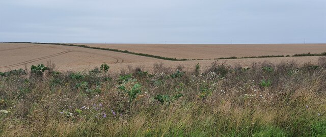
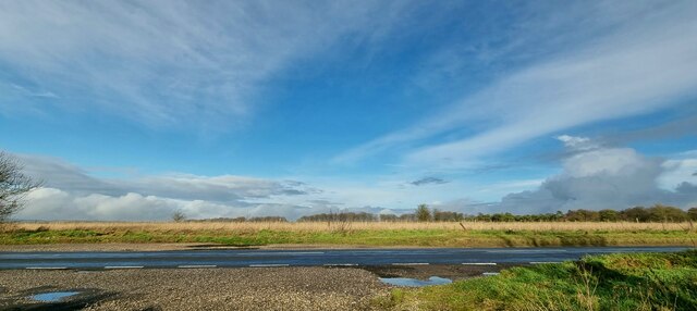
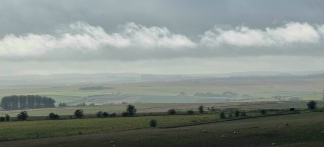
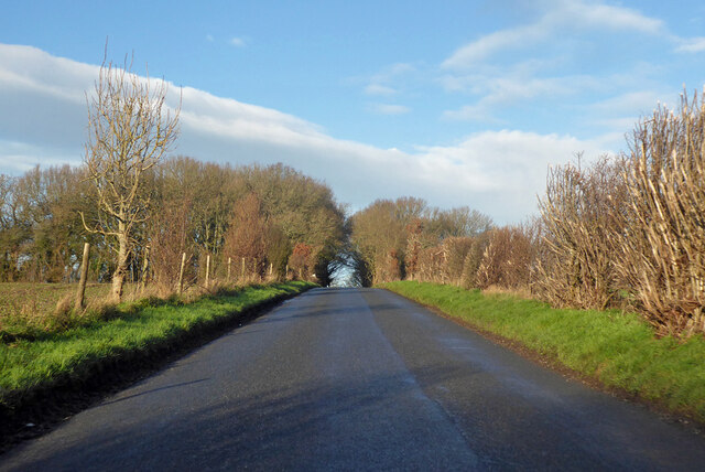
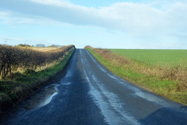
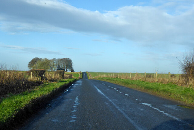
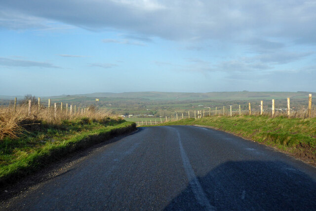
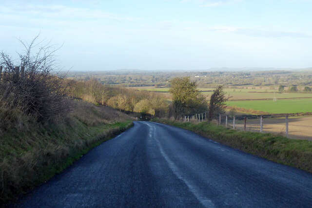
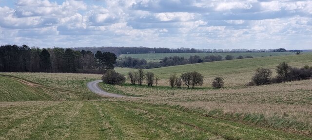
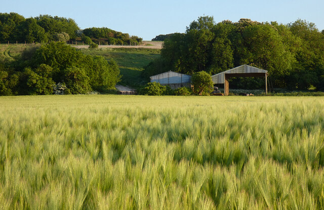
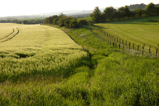
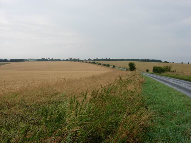
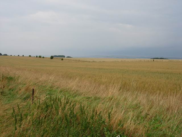
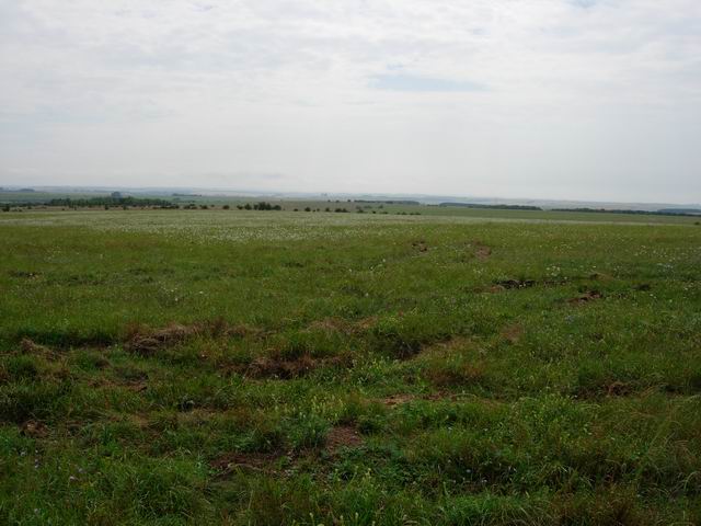
Abbots Down is a picturesque area located in Wiltshire, England. It is characterized by its rolling downs and expansive moorland, making it a popular destination for nature enthusiasts and hikers. The downs, with their gently sloping hills, offer breathtaking panoramic views of the surrounding countryside.
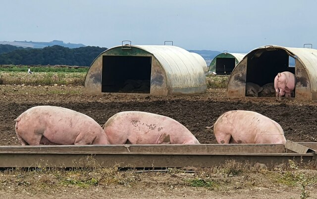
The area is rich in wildlife, with a diverse range of flora and fauna. Visitors can spot an array of bird species, including skylarks and kestrels, as well as various mammals such as rabbits, foxes, and badgers. The moorland is home to heather and gorse, adding vibrant splashes of color to the landscape.
Abbots Down is also steeped in history, boasting ancient archaeological sites and landmarks. The area is dotted with Bronze Age burial mounds, providing a glimpse into the lives of early settlers. Additionally, remnants of Iron Age hill forts can be found, serving as a testament to the region's past.
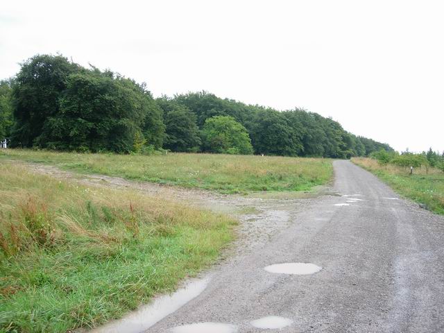
For those seeking outdoor activities, Abbots Down offers a plethora of opportunities. The extensive network of footpaths and trails makes it an ideal location for walking, cycling, and horse riding. The area is crisscrossed with public footpaths, allowing visitors to explore and discover the beauty of the downs and moorland at their own pace.
Overall, Abbots Down in Wiltshire is a stunning natural haven, combining breathtaking views, rich biodiversity, and a fascinating historical backdrop. Whether one seeks solace in nature, desires to immerse themselves in the area's history, or simply wants to partake in outdoor activities, Abbots Down offers something for everyone.
If you have any feedback on the listing, please let us know in the comments section below.
Abbots Down Images
Images are sourced within 2km of 51.305072/-1.7523692 or Grid Reference SU1756. Thanks to Geograph Open Source API. All images are credited.


Abbots Down is located at Grid Ref: SU1756 (Lat: 51.305072, Lng: -1.7523692)
Unitary Authority: Wiltshire
Police Authority: Wiltshire
What 3 Words
///abandons.trooper.rosier. Near Pewsey, Wiltshire
Nearby Locations
Related Wikis
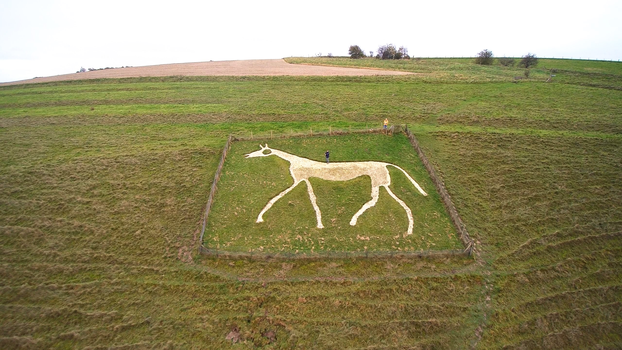
Pewsey White Horse
Pewsey White Horse is a hill figure of a white horse near the village of Pewsey, Wiltshire, England. Cut of chalk in 1937, it replaces an earlier horse...

RAF Upavon
Royal Air Force Upavon, or more simply RAF Upavon, is a former Royal Air Force station in Wiltshire, England. It was a grass airfield, military flight...

St Peter's Church, Everleigh
St Peter's Church, in Everleigh, Wiltshire, England was built in 1813 by John Morlidge for F.D. Astley. It is recorded in the National Heritage List for...

Chisenbury Camp
Chisenbury Camp is the site of an Iron Age univallate hillfort in Broad Chalke parish in Wiltshire, England. The site comprises a small circular 5-acre...
Pewsey Vale F.C.
Pewsey Vale F.C. is a football club based in the village of Pewsey, Wiltshire, England. They play in the Wiltshire Premier League. == History == The club...

Manningford
Manningford is a civil parish in Wiltshire, England. The parish includes the villages of Manningford Abbots, Manningford Bohune and Manningford Bruce,...

Pewsey
Pewsey is a large village and civil parish at the centre of the Vale of Pewsey in Wiltshire, about 6 miles (10 km) south of Marlborough and 71 miles (114...

Upavon Priory
Upavon Priory was a small priory in Wiltshire, England. Domesday Book in 1086 recorded land at Upavon held by the Benedictine monastery of Saint-Wandrille...
Have you been to Abbots Down?
Leave your review of Abbots Down below (or comments, questions and feedback).