Bamburgh Moor
Downs, Moorland in Northumberland
England
Bamburgh Moor

Bamburgh Moor is a picturesque area located in Northumberland, England. It is situated on the northeastern coast of the country, near the historic village of Bamburgh. This stunning landscape is characterized by its rolling hills, open expanses of moorland, and breathtaking views of the North Sea.
Covering an area of over 1,000 hectares, Bamburgh Moor is a haven for wildlife and nature enthusiasts. The moorland is home to various species of birds, including skylarks, curlews, and lapwings. Visitors can often spot these beautiful creatures soaring through the sky or nesting on the ground.
The landscape of Bamburgh Moor is dominated by heather and grasses, creating a vibrant and colorful scenery throughout the year. The area is particularly stunning in late summer when the heather blooms, transforming the moorland into a purple paradise.
The moorland is also dotted with several ancient burial mounds, known as tumuli, which date back to the Bronze Age. These archaeological features add an element of history and intrigue to the already captivating landscape.
Bamburgh Moor offers a range of recreational activities for visitors to enjoy. Hiking and walking are popular pursuits, with various footpaths and trails crisscrossing the area. The vast open spaces provide ample opportunities for picnicking, photography, and simply taking in the natural beauty of the surroundings.
In summary, Bamburgh Moor is a stunning and diverse landscape in Northumberland, offering a unique blend of natural beauty, wildlife, history, and recreational activities. Whether you are a nature lover, history enthusiast, or simply seeking tranquility, Bamburgh Moor is a must-visit destination.
If you have any feedback on the listing, please let us know in the comments section below.
Bamburgh Moor Images
Images are sourced within 2km of 55.614599/-1.7260041 or Grid Reference NU1735. Thanks to Geograph Open Source API. All images are credited.


Bamburgh Moor is located at Grid Ref: NU1735 (Lat: 55.614599, Lng: -1.7260041)
Unitary Authority: Northumberland
Police Authority: Northumbria
What 3 Words
///cubed.cheering.manage. Near Bamburgh, Northumberland
Nearby Locations
Related Wikis

Bamburgh Coast and Hills
Bamburgh Coast and Hills is the name given to a Site of Special Scientific Interest (SSSI) on the coast of north Northumberland, England. The site is one...

Monument to Grace Darling
The Monument to Grace Darling, in the churchyard of St Aidan's Church, Bamburgh, Northumberland is a Victorian Gothic memorial. The monument was designed...
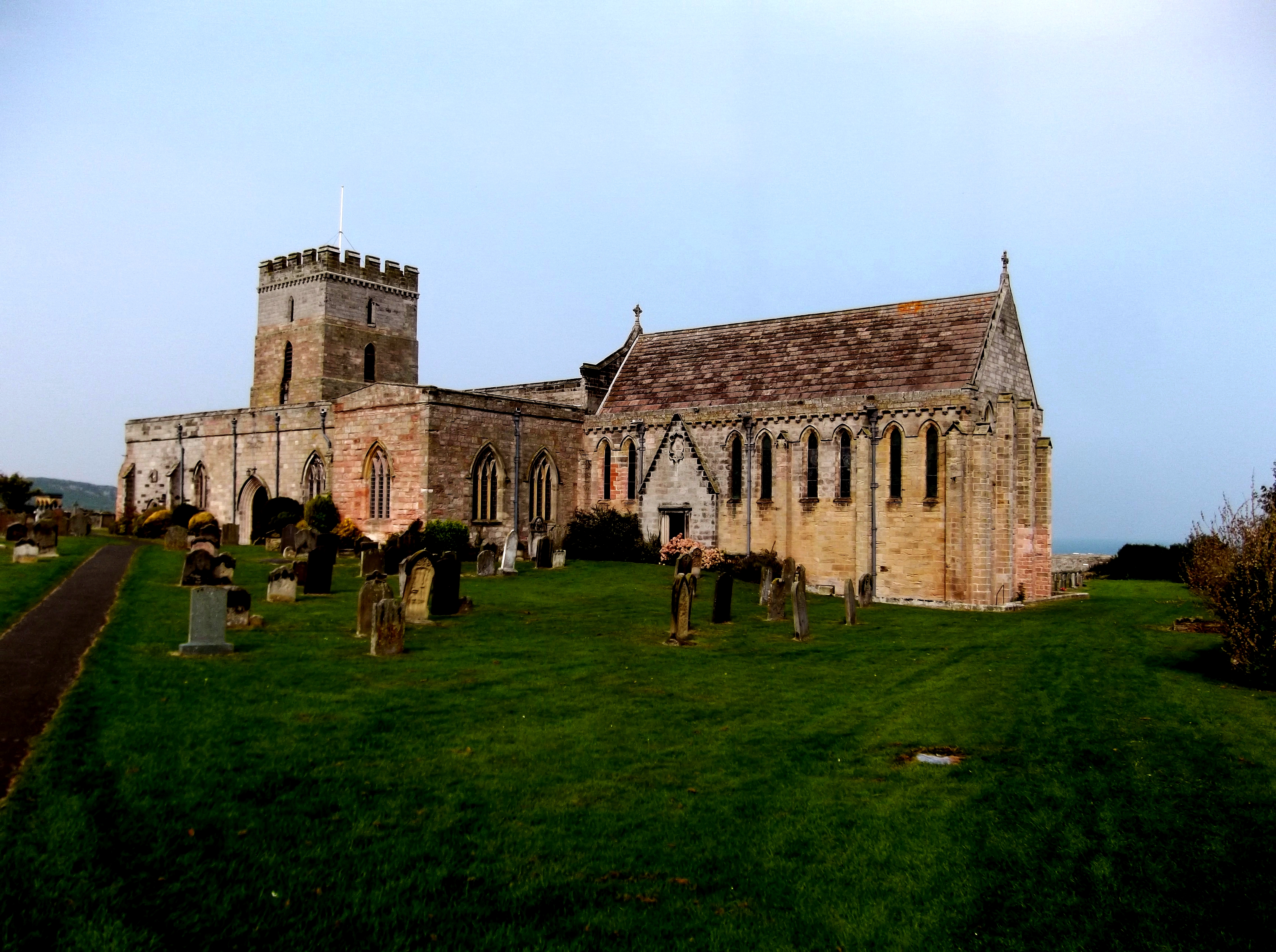
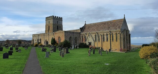
St Aidan's Church, Bamburgh
St Aidan's Church is a Grade I listed Church of England building in the Diocese of Newcastle. == History == According to Bede, St Aidan built a wooden...
Bamburgh Sword
The Bamburgh Sword is an Anglo-Saxon artefact from the seventh century. It was uncovered during an archaeological excavation at Bamburgh Castle in 1960...

Bamburgh
Bamburgh ( BAM-bər-ə) is a village and civil parish on the coast of Northumberland, England. It had a population of 454 in 2001, decreasing to 414 at the...
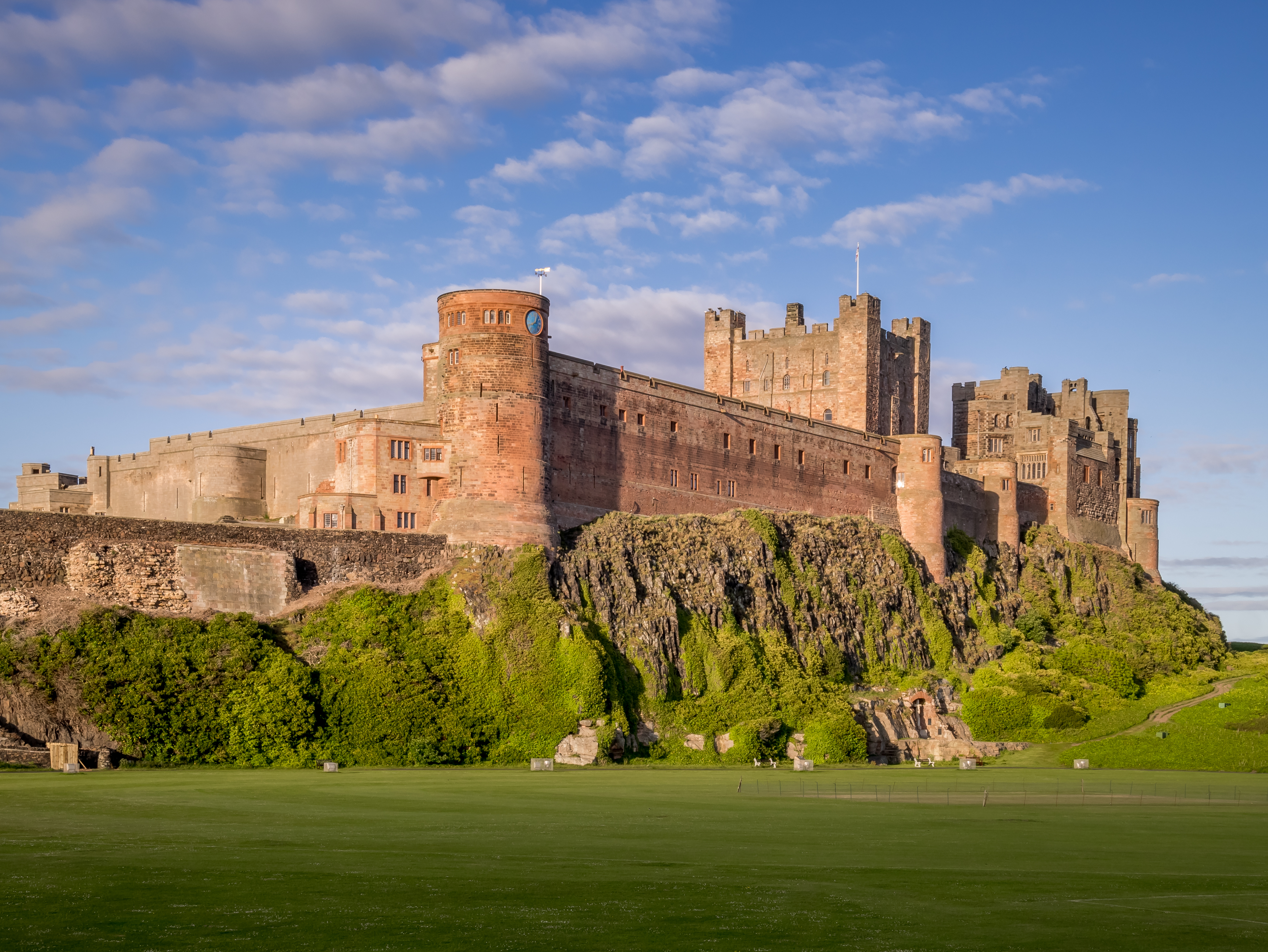
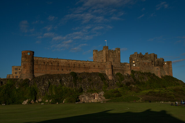
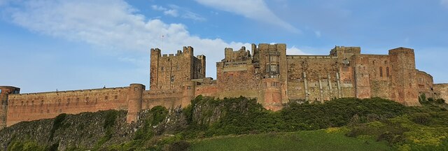
Bamburgh Castle
Bamburgh Castle is a castle on the northeast coast of England, by the village of Bamburgh in Northumberland. It is a Grade I listed building.The site was...

Waren (port)
Waren, also known as Warn, Waren Bay, Warenmouth and Warenquay, was a seaport at Budle Bay, on the north-east coast of England, the recorded history of...

Bamburgh Dunes
Bamburgh Dunes are a region of coastal sand dunes with an area of over 40 hectares situated around the village of Bamburgh in Northumberland, England....
Nearby Amenities
Located within 500m of 55.614599,-1.7260041Have you been to Bamburgh Moor?
Leave your review of Bamburgh Moor below (or comments, questions and feedback).