Nanny Pasture

Downs, Moorland in Yorkshire Harrogate

England

Nanny Pasture

Padside Green
Padside Green Credit: Malcolm Street

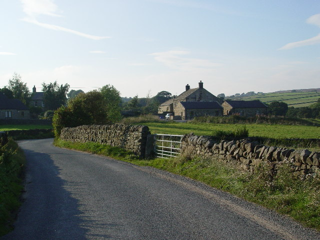
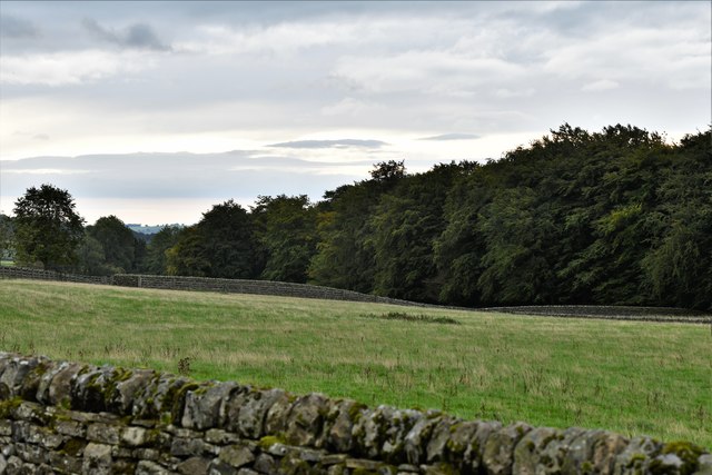
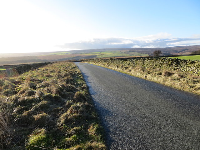
Nestled in the picturesque region of Yorkshire, Nanny Pasture is a tranquil and idyllic destination that showcases the natural beauty of the famous Yorkshire Downs and Moorland. Located in the northern part of England, this area is renowned for its stunning landscapes, rolling hills, and vast open spaces.

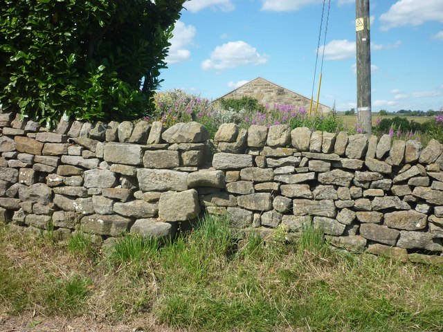
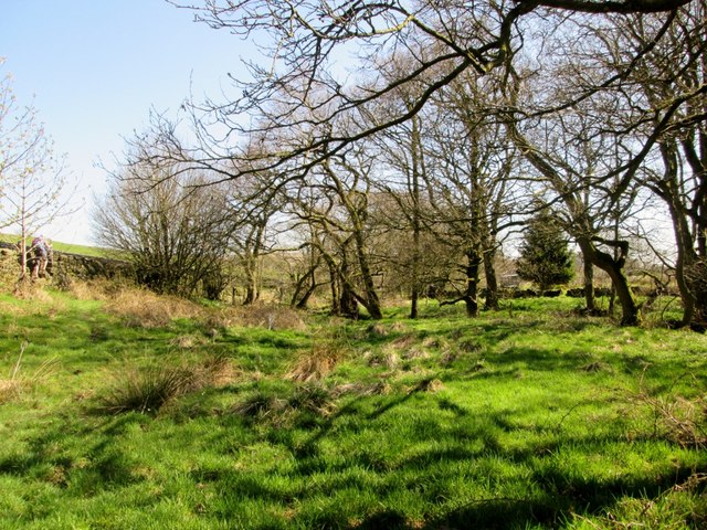
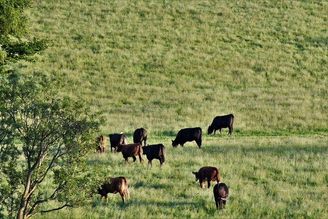
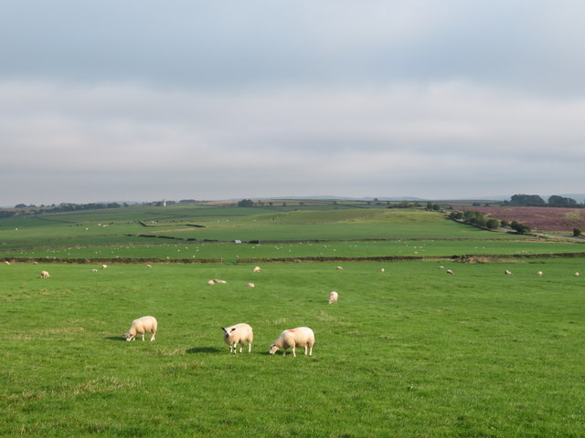
Nanny Pasture is characterized by its expansive meadows, lush green pastures, and scattered grazing sheep that dot the landscape. The area is blessed with a moderate climate, experiencing mild summers and cool winters, making it an ideal destination for outdoor enthusiasts throughout the year.

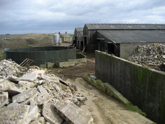
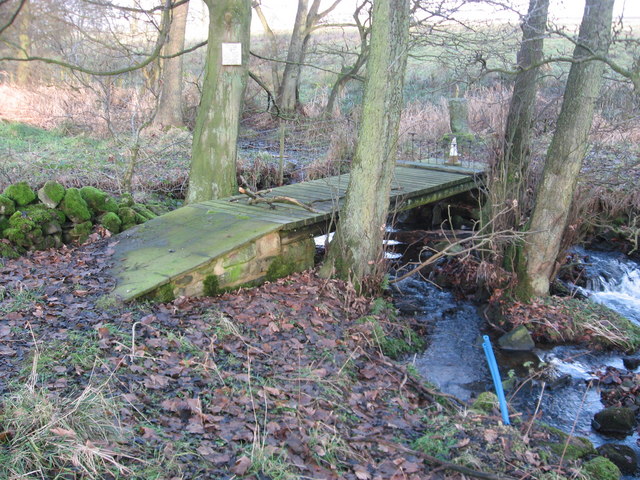
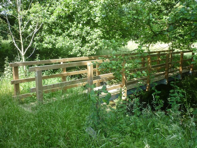
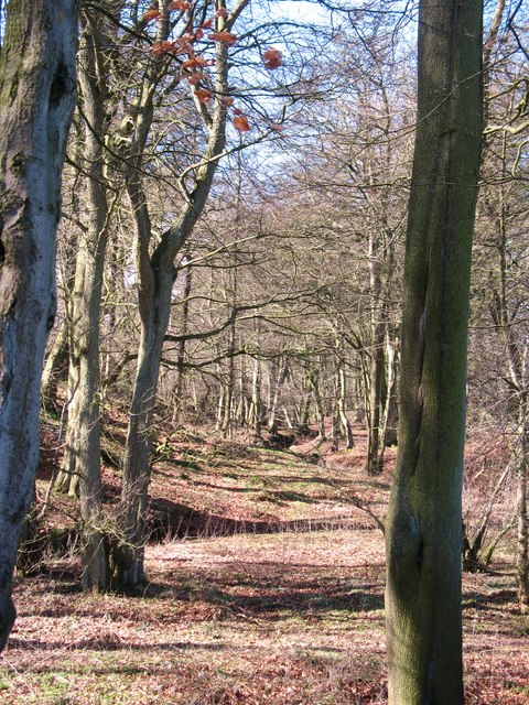
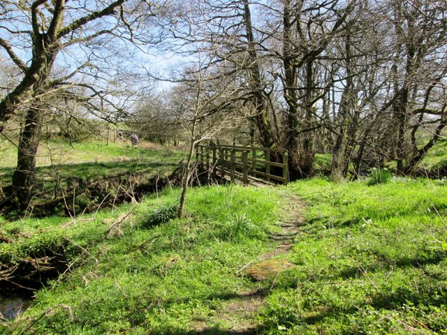
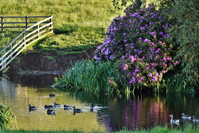
Visitors to Nanny Pasture can partake in a range of activities that cater to diverse interests. Hiking and walking trails are abundant, offering breathtaking views and opportunities to explore the rugged beauty of the moorland. The area is home to several rare and protected species of flora and fauna, making it an attractive spot for nature lovers and wildlife enthusiasts.

For those seeking a taste of local culture and history, Nanny Pasture is dotted with charming villages and historic sites. The region is known for its traditional stone-built cottages, quaint tea rooms, and friendly locals who proudly preserve their heritage. Visitors can immerse themselves in the local way of life, savoring hearty Yorkshire cuisine and experiencing traditional customs and festivals.

With its unspoiled natural beauty, rich history, and warm hospitality, Nanny Pasture offers a serene escape from the bustling city life. Whether seeking adventure, relaxation, or a glimpse into the rural charm of Yorkshire, this captivating destination has something to offer to everyone.

If you have any feedback on the listing, please let us know in the comments section below.

Nanny Pasture Images

Images are sourced within 2km of 54.048001/-1.7640306 or Grid Reference SE1561. Thanks to Geograph Open Source API. All images are credited.

Padside Green
Padside Green
Fields above Padside Countryside above Padside Green, to the east of Greenhow Hill Road.
Fields above Padside
Countryside above Padside Green, to the east of Greenhow Hill Road.
Path to Padside Green Following a public footpath from Greenhow Hill Road to Padside Green, down in the valley ahead.
Path to Padside Green
Following a public footpath from Greenhow Hill Road to Padside Green, down in the valley ahead.
Padside Green Farm Large farming complex, and a dreadful eyesore of building debris and rotting rubbish in liberal portions.
Padside Green Farm
Large farming complex, and a dreadful eyesore of building debris and rotting rubbish in liberal portions.
Private Bridge, Padside Green, Dacre Very close to the public right of way, yet it will cost you 25p to cross this private bridge.
Private Bridge, Padside Green, Dacre
Very close to the public right of way, yet it will cost you 25p to cross this private bridge.
Padside Green Footbridge New (2010) footbridge erected by North Yorkshire County Council on the route of the long distance footpath the 'Six Dales Trail' between Otley and Middleham.
Padside Green Footbridge
New (2010) footbridge erected by North Yorkshire County Council on the route of the long distance footpath the 'Six Dales Trail' between Otley and Middleham.
Stone Stile at Padside Green Stone stile on route of 'Six Dales Trail' in Padside Green.
Stone Stile at Padside Green
Stone stile on route of 'Six Dales Trail' in Padside Green.
Sunlit woodland Sunlight shines through bare trees in a small ribbon of woodland by Padside Beck.
Sunlit woodland
Sunlight shines through bare trees in a small ribbon of woodland by Padside Beck.
Fields  and  Farms  near  Padside In the distance Braithwaite Moor view from the Six Dales Trail
Fields and Farms near Padside
In the distance Braithwaite Moor view from the Six Dales Trail
Footbridge  over  Padside  Beck  on  the  Six  Dales  Trail Footbridge not on O/S map
Footbridge over Padside Beck on the Six Dales Trail
Footbridge not on O/S map
Six  Dales  Trail  by  Padside  Beck The Six Dales Trail goes left over the drystone wall the beck follows the tree line
Six Dales Trail by Padside Beck
The Six Dales Trail goes left over the drystone wall the beck follows the tree line
Braithwaite: Private stone-walled lane to Yates House
Old Boundary Marker by Sandy Gate, Thruscross parish Parish Boundary Marker by the UC road, in parish of Thruscross (Harrogate District), East of Reservoir, by Sandy Gate, on verge, 0.15 miles Southeast of lane to Braithwaite.

Surveyed

Milestone Society National ID: YW_THRcpb
Old Boundary Marker by Sandy Gate, Thruscross parish
Parish Boundary Marker by the UC road, in parish of Thruscross (Harrogate District), East of Reservoir, by Sandy Gate, on verge, 0.15 miles Southeast of lane to Braithwaite. Surveyed Milestone Society National ID: YW_THRcpb
Padside: Yates House duck pond
Padside: Grazing cattle
Minor road at Padside Green Farm Looking eastward.
Minor road at Padside Green Farm
Looking eastward.
Braithwaite Lane approaching Sandy Gate Looking south-westward.
Braithwaite Lane approaching Sandy Gate
Looking south-westward.
Sunny spot on a misty day The small amount of shelter afforded by Heyshaw Moor to the north was just enough to break up the scudding low cloud and mist blowing in from the North Sea, thus making this sheep pasture a sunny spot.
Sunny spot on a misty day
The small amount of shelter afforded by Heyshaw Moor to the north was just enough to break up the scudding low cloud and mist blowing in from the North Sea, thus making this sheep pasture a sunny spot.
Show me another place!

Nanny Pasture is located at Grid Ref: SE1561 (Lat: 54.048001, Lng: -1.7640306)

Division: West Riding

Administrative County: North Yorkshire

District: Harrogate

Police Authority: North Yorkshire

What 3 Words

///refills.roofer.reflect. Near Pateley Bridge, North Yorkshire

Related Wikis

Thruscross

Thruscross is a small settlement and civil parish in the Harrogate district of North Yorkshire, England. It lies in the Washburn Valley, 11 miles (18...

Thornthwaite, North Yorkshire

Thornthwaite is a small village in the Harrogate district of North Yorkshire, England. It lies in the valley of Padside Beck, a side valley on the south...

Thruscross Reservoir

Thruscross Reservoir is the northernmost of four reservoirs in the Washburn valley, lying north of Otley and west of Harrogate in North Yorkshire, England...

Bewerley

Bewerley is a village and civil parish in the Harrogate district of North Yorkshire, England, about twelve miles west of Ripon. The parish includes the...

Dacre, North Yorkshire

Dacre is a village and civil parish in the Harrogate district of North Yorkshire, England, it is 5 miles south of Pateley Bridge. In the 2001 census the...

Glasshouses, North Yorkshire

Glasshouses is a small village in Nidderdale, North Yorkshire, England. It lies 1 mile (1.6 km) south-east of Pateley Bridge on the east side of Nidderdale...

Dacre railway station

Dacre railway station served the villages of Dacre and Summerbridge, North Yorkshire, England from 1862 to 1951 on the Nidd Valley Railway. == History... ==

Pateley Bridge

Pateley Bridge (known locally as Pateley) is a market town in Nidderdale in the county and district of North Yorkshire, England. Historically part of the...

Nearby Amenities

Located within 500m of 54.048001,-1.7640306
Archaeological Site: lime_kiln
Fixme: exact location uncertain, not visible on aearial imagery.
Historic: archaeological_site
Mineral: lime
Product: lime
Source: OS 1854 sheet 135
Lat/Long: 54.050647/-1.7695858
Barrier: stile
Lat/Long: 54.0466777/-1.7579895
Ford: yes
Lat/Long: 54.0520468/-1.7653704
Barrier: cattle_grid
Lat/Long: 54.0497705/-1.7639837
The data included in this document is from www.openstreetmap.org. The data is made available under ODbL.

Have you been to Nanny Pasture?

Leave your review of Nanny Pasture below (or comments, questions and feedback).