Cow Common
Downs, Moorland in Gloucestershire Cotswold
England
Cow Common

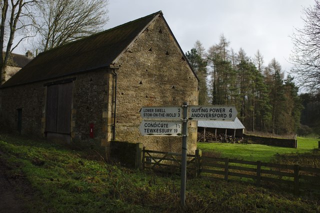
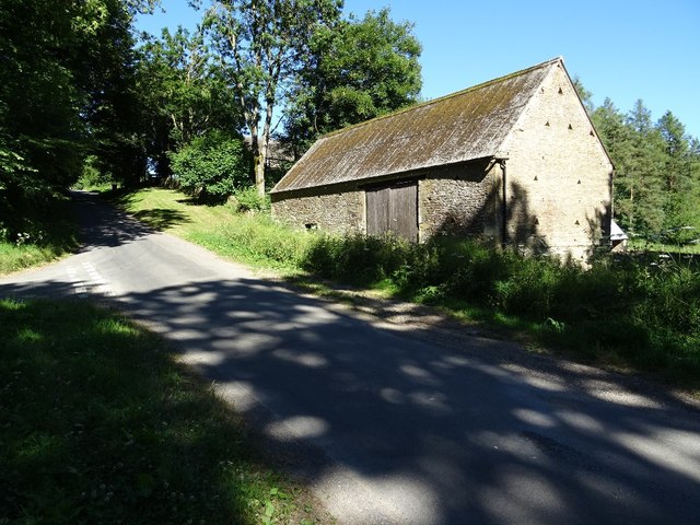
Cow Common is a picturesque area located in the county of Gloucestershire, England. Situated amidst the stunning landscape of the Cotswolds, Cow Common is known for its rolling downs and expansive moorland. Covering approximately 500 acres, this natural haven offers visitors a serene and tranquil experience.
The area is characterized by its gently undulating hills, covered in lush green grass and interspersed with patches of heather and wildflowers. The downs provide breathtaking panoramic views of the surrounding countryside, making it a popular spot for nature enthusiasts and hikers.
The moorland at Cow Common is a unique feature, offering a diverse range of flora and fauna. It is home to a variety of bird species, including skylarks, meadow pipits, and stonechats, making it a paradise for birdwatchers. In addition, the moorland is dotted with gorse bushes, providing a burst of vibrant yellow when in bloom.
The area is well-maintained, with designated trails and footpaths for easy exploration. These paths guide visitors through the stunning landscapes, allowing them to experience the beauty of the countryside up close. Along the way, visitors may encounter grazing sheep and cattle, adding to the charm of the rural setting.
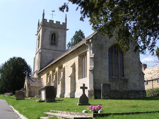
Cow Common is also rich in history, with ancient burial mounds and remnants of prehistoric settlements. It offers a glimpse into the area's past and the lives of its early inhabitants.
Overall, Cow Common in Gloucestershire is a captivating destination that showcases the natural beauty and historical significance of the region. Whether one seeks a peaceful walk, birdwatching opportunities, or a chance to immerse themselves in the countryside, Cow Common offers a memorable experience for all.
If you have any feedback on the listing, please let us know in the comments section below.
Cow Common Images
Images are sourced within 2km of 51.934771/-1.8065345 or Grid Reference SP1326. Thanks to Geograph Open Source API. All images are credited.


Cow Common is located at Grid Ref: SP1326 (Lat: 51.934771, Lng: -1.8065345)
Administrative County: Gloucestershire
District: Cotswold
Police Authority: Gloucestershire
What 3 Words
///iceberg.quieter.foot. Near Stow on the Wold, Gloucestershire
Nearby Locations
Related Wikis
Huntsman's Quarry
Huntsman's Quarry (grid reference SP125259) is a 1.6-hectare (4.0-acre) geological Site of Special Scientific Interest in Gloucestershire, notified in...

Barton Bushes
Barton Bushes (grid reference SP110259) is a 5.7-hectare (14-acre) biological Site of Special Scientific Interest in Gloucestershire, notified in 1996...

Condicote
Condicote is a small village in Gloucestershire, England. It is near the A424 road. It has a small church dedicated to St Nicholas. It has evidence of...

Lark Wood
Lark Wood (grid reference SP104262) is a 1.11-hectare (2.7-acre) biological Site of Special Scientific Interest in Gloucestershire, notified in 1974. The...
St Andrew's Church, Naunton
St Andrew's Church is an Anglican parish church in Naunton, Gloucestershire, dedicated to St Andrew the Apostle. == History == Dating from the 13th century...

Upper Slaughter
Upper Slaughter is a village in the Cotswold district of Gloucestershire, England, 4 miles (6.4 km) south west of Stow-on-the-Wold. The village lies off...

Lower Slaughter
Lower Slaughter is a village in the Cotswold district of Gloucestershire, England, 4 miles (6.4 km) south west of Stow-on-the-Wold. The village is built...

Hinchwick
Hinchwick is a small village in Gloucestershire, England at grid reference SP145300. Hinchwick Manor was built by architect Charles Robert Cockerell in...
Nearby Amenities
Located within 500m of 51.934771,-1.8065345Have you been to Cow Common?
Leave your review of Cow Common below (or comments, questions and feedback).