High Moss
Downs, Moorland in Yorkshire Harrogate
England
High Moss

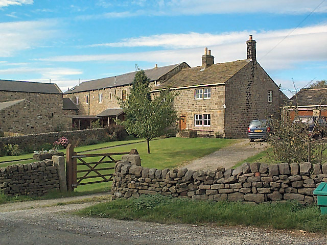
High Moss is a scenic and picturesque area located in the heart of Yorkshire, England. Situated amidst the stunning Yorkshire Downs and Moorland, it offers visitors a unique blend of natural beauty and tranquility. Stretching across several square miles, High Moss is known for its rolling hills, vast expanses of heather-covered moorland, and breathtaking views of the surrounding countryside.
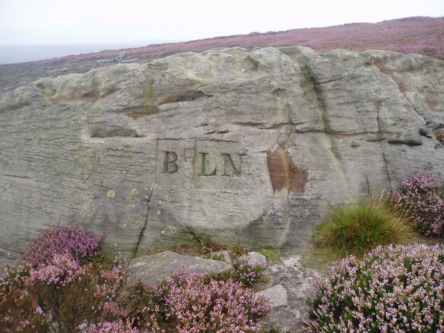
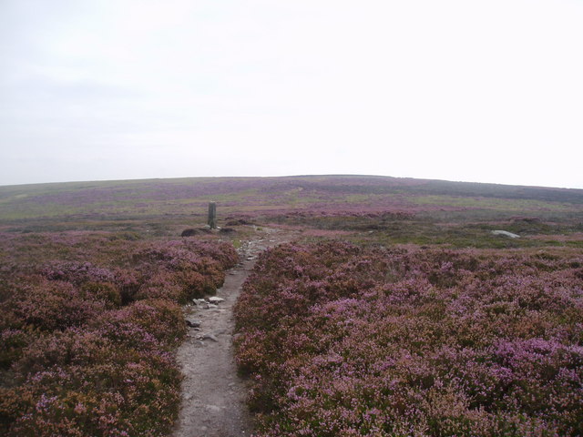
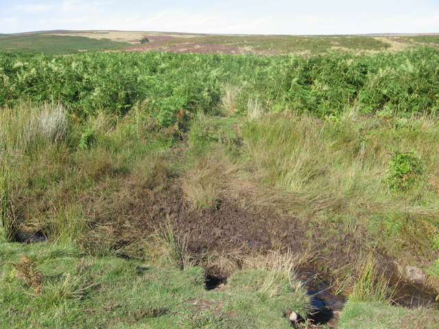
The landscape of High Moss is characterized by its rugged terrain, dotted with rocky outcrops and scattered with small streams and ponds. The area is home to a diverse range of plant and animal species, including rare birds like the red grouse, curlew, and golden plover. It is not uncommon to come across grazing sheep or wild ponies, adding to the charm of the countryside.
The weather in High Moss can be unpredictable, with frequent rain showers and strong winds. However, this only enhances the beauty of the moorland, as the changing light and weather conditions create a dynamic and ever-evolving scenery.
For outdoor enthusiasts, High Moss offers a multitude of activities such as hiking, birdwatching, and photography. There are numerous well-marked trails that cater to all levels of fitness and experience. These trails provide an opportunity to explore the vast expanse of moorland, discover hidden waterfalls, and enjoy panoramic views from the hilltops.
In summary, High Moss in Yorkshire is a captivating destination for nature lovers and those seeking solace in the great outdoors. Its unique blend of rugged moorland, rolling hills, and diverse wildlife make it a must-visit location for anyone wanting to experience the natural beauty of Yorkshire.
If you have any feedback on the listing, please let us know in the comments section below.
High Moss Images
Images are sourced within 2km of 53.971011/-1.7977595 or Grid Reference SE1352. Thanks to Geograph Open Source API. All images are credited.


High Moss is located at Grid Ref: SE1352 (Lat: 53.971011, Lng: -1.7977595)
Division: West Riding
Administrative County: North Yorkshire
District: Harrogate
Police Authority: North Yorkshire
What 3 Words
///bashful.promotes.cubic. Near Ilkley, West Yorkshire
Nearby Locations
Related Wikis

Kex Gill Bypass
The Kex Gill Bypass is a future stretch of A-road across Kex Gill Moor to Blubberhouses in North Yorkshire, England. The route is part of the A59 road...
Middleton-on-Wharfe
Middleton is a hamlet and civil parish in the Harrogate district of North Yorkshire, England. It is on the border with West Yorkshire and 1 mile north...

Denton, North Yorkshire
Denton is a hamlet and civil parish in the Harrogate district of North Yorkshire, England. At the 2011 Census the population of this civil parish was less...
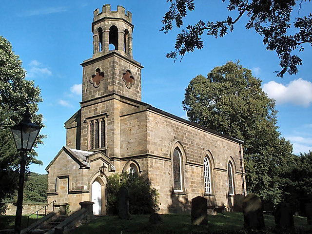
Church of St Helen, Denton
The Church of St Helen, Denton is a parish church in the hamlet of Denton, near Otley, in North Yorkshire, England. The church was built in 1776 by the...

Hazlewood with Storiths
Hazlewood with Storiths is a civil parish in the Craven district of North Yorkshire, England. The population of the civil parish as of the 2011 census...

Blubberhouses
Blubberhouses is a small village and civil parish in the Washburn Valley in North Yorkshire, England. The population as at the 2011 Census was less than...

Fewston
Fewston is a village and civil parish in the Harrogate district of North Yorkshire, England. It is situated north of Otley and close to Swinsty and Fewston...

Denton Hall, Wharfedale
Denton Hall is an English country house located to the north of the River Wharfe, at Denton, Borough of Harrogate, North Yorkshire, England between Otley...
Nearby Amenities
Located within 500m of 53.971011,-1.7977595Have you been to High Moss?
Leave your review of High Moss below (or comments, questions and feedback).