Harmby Moor
Downs, Moorland in Yorkshire Richmondshire
England
Harmby Moor
Harmby Moor is a picturesque area located in Yorkshire, England. Situated on the edge of the Yorkshire Dales National Park, it is known for its stunning natural beauty, comprising of rolling downs and expansive moorland.
The moor is characterized by its open, windswept landscapes, dotted with patches of heather and grasses. The undulating terrain offers panoramic views of the surrounding countryside, featuring a patchwork of fields, farms, and distant hills. The area is a popular destination for nature enthusiasts, hikers, and birdwatchers, who come to explore the vast expanse of unspoiled wilderness.
Harmby Moor is home to a diverse range of wildlife, including several species of birds such as curlews, lapwings, and red grouse. Visitors may also spot hares, rabbits, and the occasional deer roaming freely through the moorland. The area is a haven for nature conservation, with efforts in place to protect and preserve its unique ecosystems.
Aside from its natural beauty, Harmby Moor also boasts a rich historical heritage. The remains of ancient settlements and burial grounds can be found scattered across the moor, providing a glimpse into the area's past. These archaeological sites offer insight into the lives of early inhabitants and their connection to the land.
Overall, Harmby Moor is a captivating destination that offers a blend of natural beauty, wildlife, and historical significance. Whether it be for a leisurely walk, birdwatching, or exploring its ancient past, visitors are sure to be enchanted by the charm and tranquility of this Yorkshire gem.
If you have any feedback on the listing, please let us know in the comments section below.
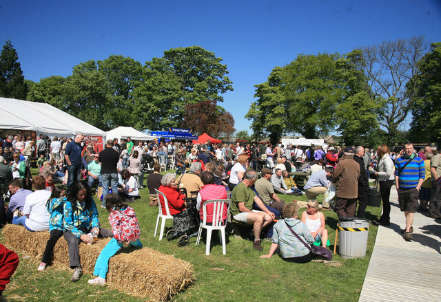
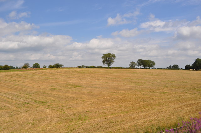
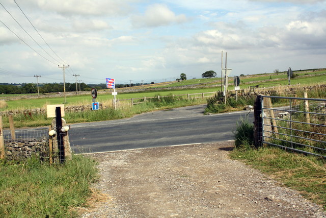
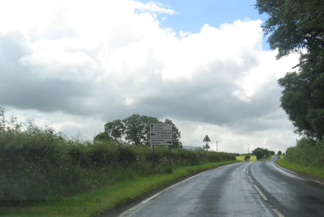
Harmby Moor Images
Images are sourced within 2km of 54.320012/-1.7980678 or Grid Reference SE1391. Thanks to Geograph Open Source API. All images are credited.


Harmby Moor is located at Grid Ref: SE1391 (Lat: 54.320012, Lng: -1.7980678)
Division: North Riding
Administrative County: North Yorkshire
District: Richmondshire
Police Authority: North Yorkshire
What 3 Words
///wizard.brochure.creatures. Near Leyburn, North Yorkshire
Nearby Locations
Related Wikis
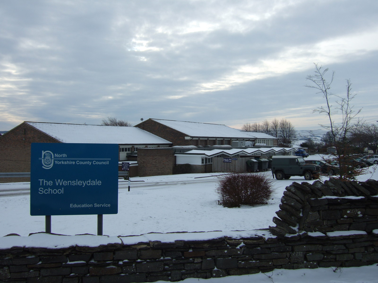
The Wensleydale School
The Wensleydale School and Sixth Form is a co-educational comprehensive school situated on Richmond Road, Leyburn, North Yorkshire, England. == History... ==

Tennants (auctioneers)
Tennants is an auction house based at Leyburn in North Yorkshire, England. It claims to be the largest family-owned fine art auctioneers in the United...

Spennithorne railway station
Spennithorne railway station was on the Wensleydale Railway, in North Yorkshire, England. The station was opened by the Bedale and Leyburn Railway on 19...

Leyburn railway station
Leyburn railway station is on the Wensleydale Railway, a seasonal, heritage service and serves the town of Leyburn in North Yorkshire, England. During...
Nearby Amenities
Located within 500m of 54.320012,-1.7980678Have you been to Harmby Moor?
Leave your review of Harmby Moor below (or comments, questions and feedback).