Barnsfield Heath
Downs, Moorland in Hampshire
England
Barnsfield Heath
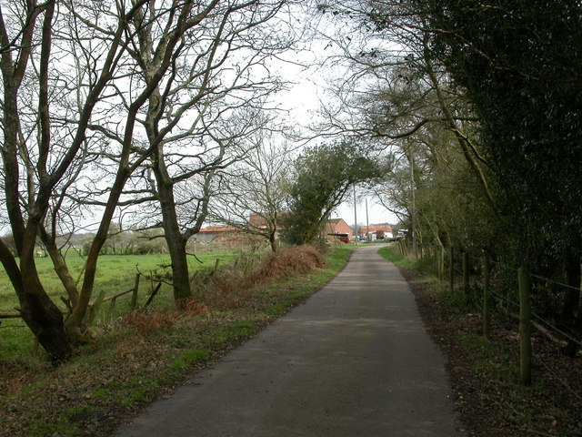
Barnsfield Heath is a picturesque area located in Hampshire, England. Situated amidst the stunning Downs and Moorland landscapes, it offers a serene and breathtaking environment for visitors and locals alike.
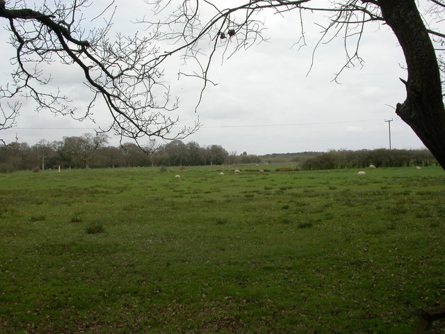
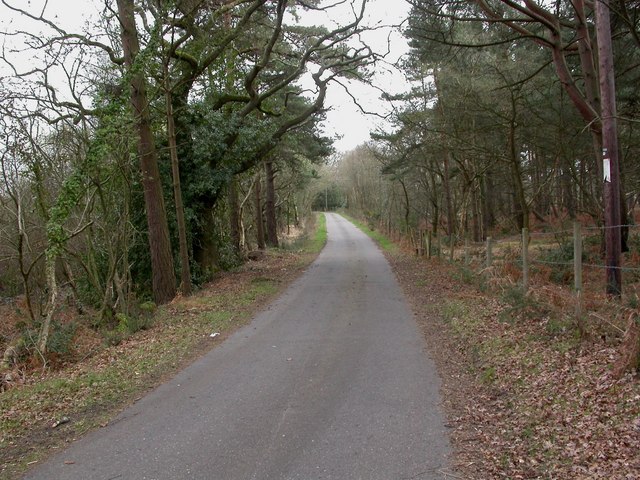
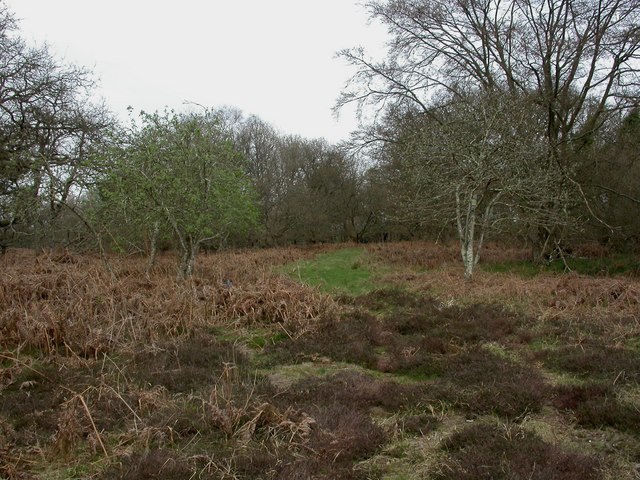
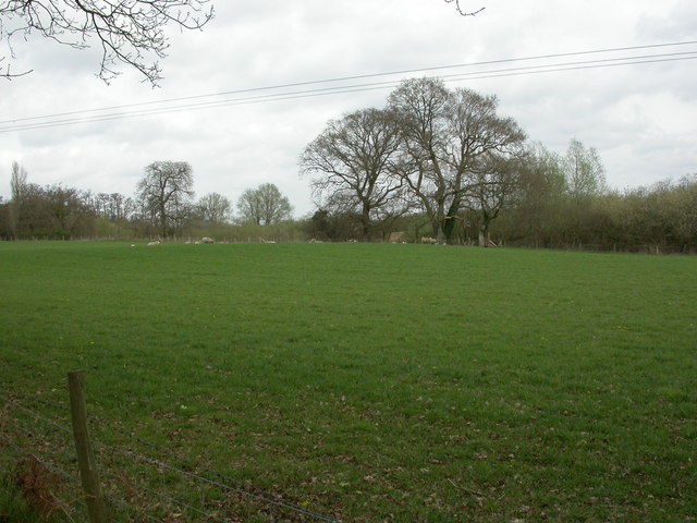
The Downs of Barnsfield Heath are characterized by rolling hills covered in lush green grass and dotted with vibrant wildflowers during the spring and summer months. Walking or hiking along the well-maintained trails provides an opportunity to appreciate the stunning panoramic views of the surrounding countryside. The area is also popular among nature enthusiasts, as it is home to a diverse range of flora and fauna. Visitors can spot a variety of bird species soaring through the skies or catch a glimpse of rabbits and other small mammals scurrying through the undergrowth.
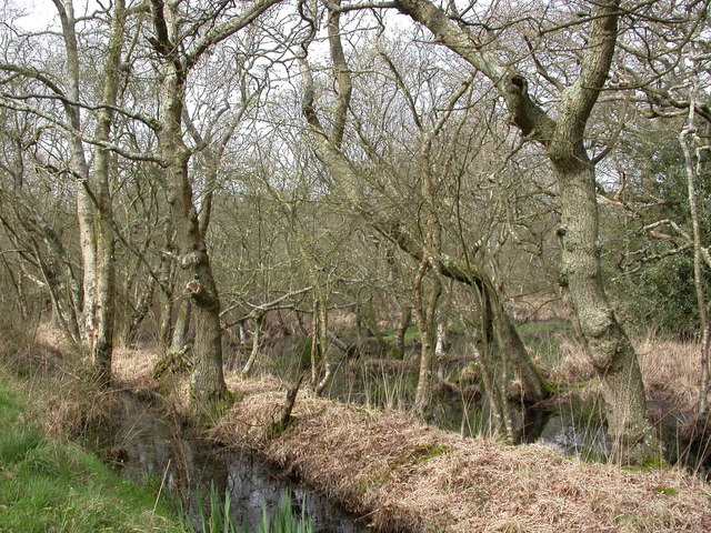
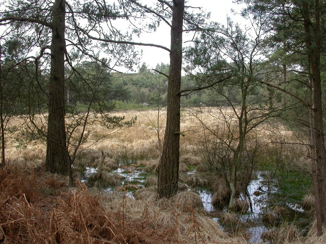
The Moorland of Barnsfield Heath is a unique ecosystem, with vast expanses of heather and gorse creating a beautiful and distinctive landscape. The rich purple hues of the heather in full bloom offer a striking contrast against the greenery of the surrounding countryside. This area is also home to a variety of wildlife, including deer, foxes, and skylarks. It provides an ideal habitat for these species, with its open spaces and abundance of food sources.
Barnsfield Heath is a haven for outdoor enthusiasts, offering a range of activities such as hiking, biking, and birdwatching. Its natural beauty and tranquility make it a popular destination for those seeking a peaceful retreat or a chance to reconnect with nature. Whether exploring the Downs or immersing oneself in the Moorland, visitors to Barnsfield Heath are sure to be captivated by its breathtaking scenery and abundant wildlife.
If you have any feedback on the listing, please let us know in the comments section below.
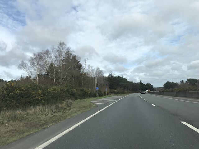
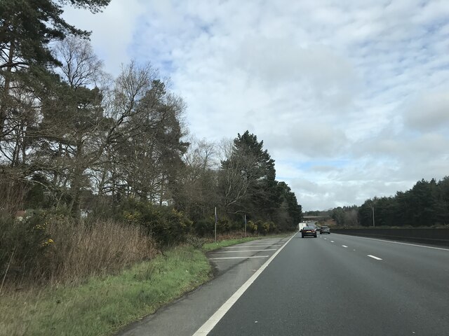
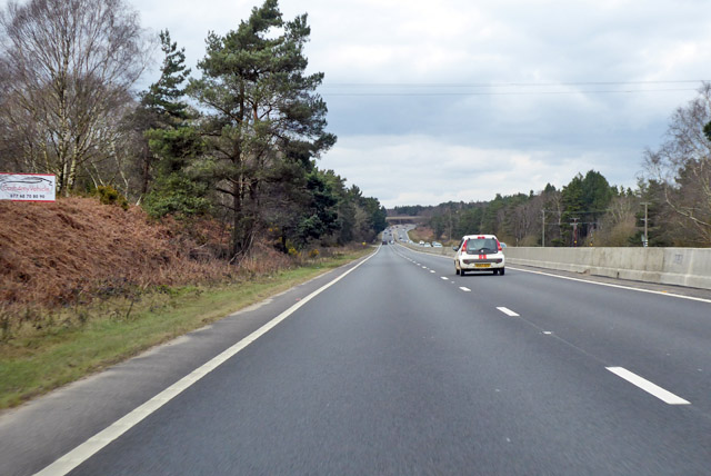
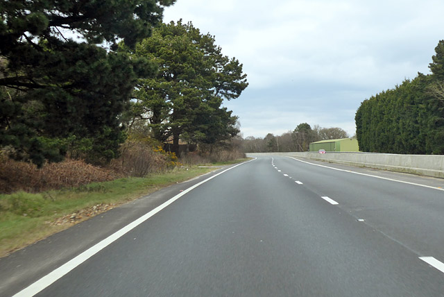
Barnsfield Heath Images
Images are sourced within 2km of 50.800469/-1.8284479 or Grid Reference SU1200. Thanks to Geograph Open Source API. All images are credited.


Barnsfield Heath is located at Grid Ref: SU1200 (Lat: 50.800469, Lng: -1.8284479)
Unitary Authority: Dorset
Police Authority: Dorset
What 3 Words
///selling.handbags.vote. Near St Leonards, Dorset
Nearby Locations
Related Wikis

Ringwood Raceway
The Ringwood Raceway (formerly known as Matcham Park Stadium) was a raceway in Ringwood, Hampshire, England. == History == For many years the raceway was...

Lapland New Forest
Lapland New Forest was a Christmas-themed park near Ringwood, Hampshire, UK. The park had been advertised as being a "winter wonderland" with a variety...

RAF Hurn
Royal Air Force Hurn or more simply RAF Hurn is a former Royal Air Force station located approximately 4 miles (6.4 km) north west of Christchurch, Dorset...
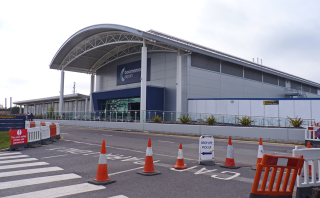
Bournemouth Airport
Bournemouth Airport (IATA: BOH, ICAO: EGHH) (previously known as Hurn Airport and Bournemouth International Airport) is an international airport located...
Nearby Amenities
Located within 500m of 50.800469,-1.8284479Have you been to Barnsfield Heath?
Leave your review of Barnsfield Heath below (or comments, questions and feedback).