Hart's Green

Settlement in Suffolk Babergh

England

Hart's Green

Church of All Saints, Lawshall A largely fifteenth century church <span class="nowrap"><a title="https://historicengland.org.uk/listing/the-list/list-entry/1036594" rel="nofollow ugc noopener" href="https://historicengland.org.uk/listing/the-list/list-entry/1036594">Link</a><img style="margin-left:2px;" alt="External link" title="External link - shift click to open in new window" src="https://s1.geograph.org.uk/img/external.png" width="10" height="10"/></span>
Church of All Saints, Lawshall Credit: Jonathan Thacker

Hart's Green is a picturesque village located in the county of Suffolk, England. Nestled amidst the stunning countryside, this charming settlement offers a tranquil and idyllic retreat for both its residents and visitors. With a population of around 500 people, Hart's Green maintains a close-knit community feel.

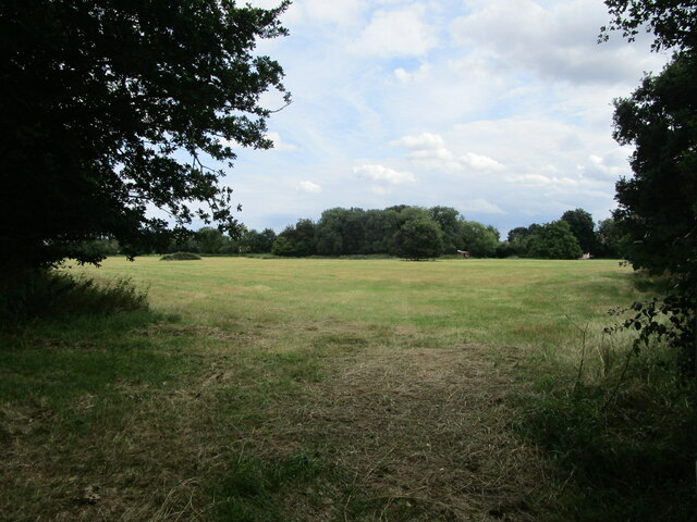
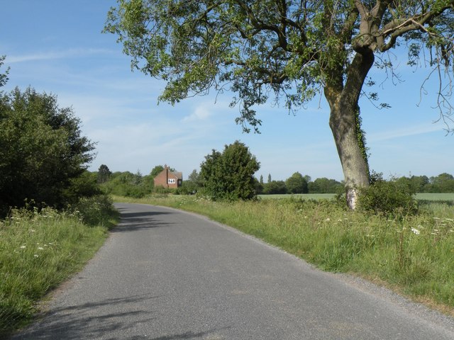
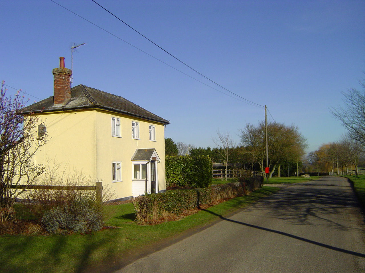
The village is renowned for its beautiful landscapes, featuring rolling hills, lush green fields, and enchanting woodland areas. It is a haven for nature lovers and outdoor enthusiasts, who can explore the scenic surroundings through numerous walking and cycling trails. Additionally, Hart's Green is dotted with quaint cottages and historic buildings, which add to its rustic charm and character.

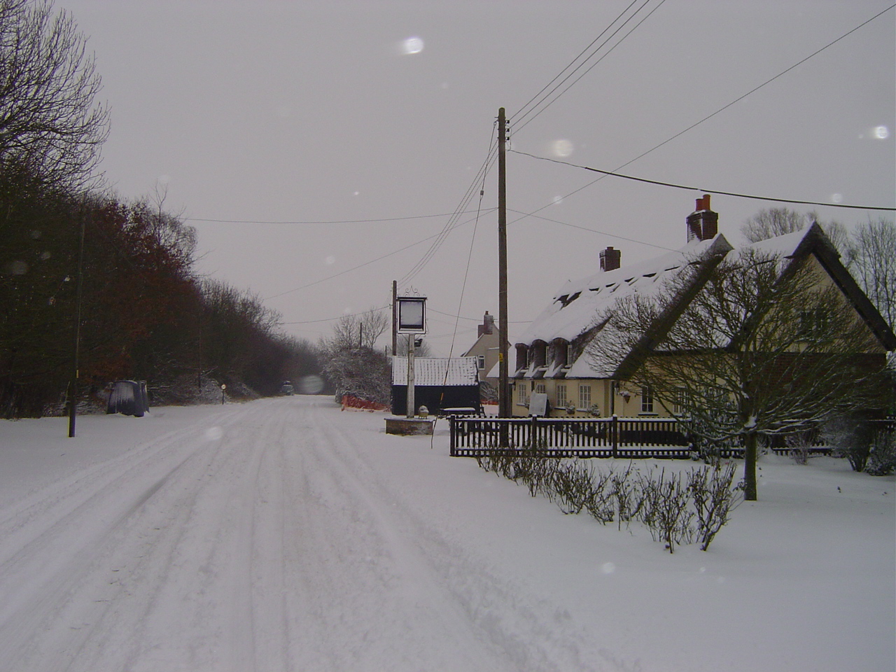
Despite its small size, the village boasts a range of amenities to cater to the needs of its residents. These include a local pub, a village shop, and a primary school, ensuring that daily essentials and education are within easy reach. The community spirit is further strengthened by various social events and activities organized throughout the year, such as village fairs and gatherings.

Hart's Green benefits from its strategic location, with excellent transport links to nearby towns and cities. The village is situated just a short drive away from larger towns like Ipswich and Bury St Edmunds, offering residents access to a wider range of services and employment opportunities.

Overall, Hart's Green is a charming and peaceful village that provides a serene and picturesque setting for its residents. Its natural beauty, tight-knit community, and convenient location make it an ideal place to call home for those seeking a tranquil countryside lifestyle.

If you have any feedback on the listing, please let us know in the comments section below.

Hart's Green Images

Images are sourced within 2km of 52.16159/0.73255319 or Grid Reference TL8755. Thanks to Geograph Open Source API. All images are credited.

Church of All Saints, Lawshall A largely fifteenth century church <span class="nowrap"><a title="https://historicengland.org.uk/listing/the-list/list-entry/1036594" rel="nofollow ugc noopener" href="https://historicengland.org.uk/listing/the-list/list-entry/1036594">Link</a><img style="margin-left:2px;" alt="External link" title="External link - shift click to open in new window" src="https://s1.geograph.org.uk/img/external.png" width="10" height="10"/></span>
Church of All Saints, Lawshall
A largely fifteenth century church LinkExternal link
Grass field near Lawshall
Isolated tree near Makin's Farm
Church Farmhouse, Stanningfield Seventeenth century house <span class="nowrap"><a title="https://historicengland.org.uk/listing/the-list/list-entry/1278921" rel="nofollow ugc noopener" href="https://historicengland.org.uk/listing/the-list/list-entry/1278921">Link</a><img style="margin-left:2px;" alt="External link" title="External link - shift click to open in new window" src="https://s1.geograph.org.uk/img/external.png" width="10" height="10"/></span>
Church Farmhouse, Stanningfield
Seventeenth century house LinkExternal link
A134 looking north A route from Colchester to King's Lynn, next major place, Bury St Edmunds.
A134 looking north
A route from Colchester to King's Lynn, next major place, Bury St Edmunds.
Shimpling Road, heading towards Lawshall
Footpath to Shimpling Street from Shimpling Road
Part of Shimpling Road in Lawshall
The approach to Hanningfields Farm
The village sign at Lawshall
Road junction in Lawshall This junction is actually a crossroads.  The road to the right is Melford Road with Bury Road off to the left.  Straight ahead is Lambs Lane and opposite is Golden Lane.
Road junction in Lawshall
This junction is actually a crossroads. The road to the right is Melford Road with Bury Road off to the left. Straight ahead is Lambs Lane and opposite is Golden Lane.
Donkey Lane, between Lawshall and Stanningfield
St. Nicholas: the parish church of Stanningfield This church once had a much taller 14th century tower but the top was removed as it was classed as dangerous. Inside the church is an early 19th century photograph that shows the original tower.
St. Nicholas: the parish church of Stanningfield
This church once had a much taller 14th century tower but the top was removed as it was classed as dangerous. Inside the church is an early 19th century photograph that shows the original tower.
Memorial To Johannes Bartholomeus Jat Van Mesdag WWII memorial to crashed Mustang pilot Johannes Bartholomeus Jat Van Mesdag at side of a country road near to Lawshall, Suffolk. For more info on this young airman see <span class="nowrap"><a title="http://www.aircrewremembered.com/van-mesdag-johannes.html" rel="nofollow ugc noopener" href="http://www.aircrewremembered.com/van-mesdag-johannes.html">Link</a><img style="margin-left:2px;" alt="External link" title="External link - shift click to open in new window" src="https://s1.geograph.org.uk/img/external.png" width="10" height="10"/></span> and for overall view see <a title="https://www.geograph.org.uk/photo/2595650" href="https://www.geograph.org.uk/photo/2595650">Link</a>
Memorial To Johannes Bartholomeus Jat Van Mesdag
WWII memorial to crashed Mustang pilot Johannes Bartholomeus Jat Van Mesdag at side of a country road near to Lawshall, Suffolk. For more info on this young airman see LinkExternal link and for overall view see Link
Airman's Memorial WWII memorial to crashed Mustang pilot Johannes Bartholomeus Jat Van Mesdag at side of a country road near to Lawshall, Suffolk. For more info on this young airman see <span class="nowrap"><a title="http://www.aircrewremembered.com/van-mesdag-johannes.html" rel="nofollow ugc noopener" href="http://www.aircrewremembered.com/van-mesdag-johannes.html">Link</a><img style="margin-left:2px;" alt="External link" title="External link - shift click to open in new window" src="https://s1.geograph.org.uk/img/external.png" width="10" height="10"/></span> and for close up view see <a title="https://www.geograph.org.uk/photo/2595635" href="https://www.geograph.org.uk/photo/2595635">Link</a>
Airman's Memorial
WWII memorial to crashed Mustang pilot Johannes Bartholomeus Jat Van Mesdag at side of a country road near to Lawshall, Suffolk. For more info on this young airman see LinkExternal link and for close up view see Link
Dead End Dead end road near to Stanningfield, Suffolk.
Dead End
Dead end road near to Stanningfield, Suffolk.
St.Edmunds Way Looking south along part of the long distance walk St.Edmunds Way near to Stanningfield, Suffolk.
St.Edmunds Way
Looking south along part of the long distance walk St.Edmunds Way near to Stanningfield, Suffolk.
At Work Farmer and his tractor at work near to Stanningfield, Suffolk.
At Work
Farmer and his tractor at work near to Stanningfield, Suffolk.
Show me another place!

Hart's Green is located at Grid Ref: TL8755 (Lat: 52.16159, Lng: 0.73255319)

Administrative County: Suffolk

District: Babergh

Police Authority: Suffolk

What 3 Words

///nuggets.skewed.photocopy. Near Lavenham, Suffolk

Nearby Locations

Hart's Green

Related Wikis

Hart's Green

Hart's Green is a hamlet in the civil parish of Lawshall in the Babergh District in the county of Suffolk, England. It is located between Stanningfield...

The Street, Lawshall

The Street is a linear settlement in the civil parish of Lawshall in the Babergh district in the county of Suffolk, England. It extends from Lawshall Hall...

Lawshall

Lawshall is a village and civil parish in Suffolk, England. Located around a mile off the A134 between Bury St Edmunds and Sudbury, it is part of Babergh...

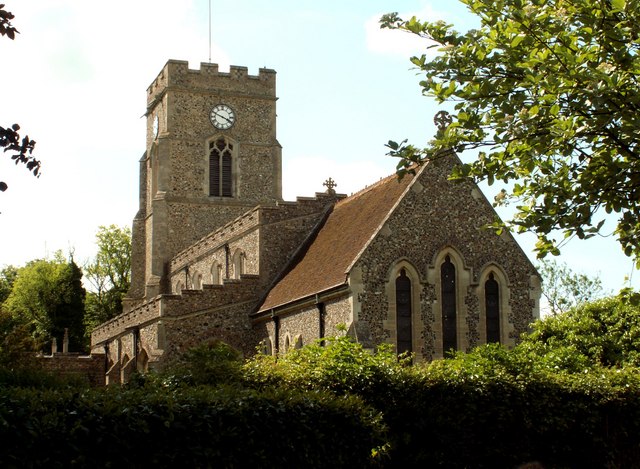
All Saints' Church, Lawshall

The Parish Church of All Saints' Lawshall, is an Anglican church in the village of Lawshall, Suffolk, England. It has been designated by English Heritage...

Nearby Amenities

Located within 500m of 52.16159,0.73255319
Power: pole
Lat/Long: 52.1656538/0.7315055
Power: pole
Lat/Long: 52.1635528/0.7286221
Power: pole
Lat/Long: 52.1642389/0.729577
Power: pole
Lat/Long: 52.1627861/0.7275814
Power: pole
Lat/Long: 52.1649431/0.7305345
Power: pole
Lat/Long: 52.1613037/0.7255536
Power: pole
Lat/Long: 52.1620194/0.72653
Post Box
Collection Times: Mo-Fr 09:00; Sa 07:00
Post Box Mounting: telegraph_pole
Post Box Type: lamp
Ref: IP29 2229D
Royal Cypher: EIIR
Royal Cypher Wikidata: Q33102113
Lat/Long: 52.1652016/0.7367266
Waste Basket
Waste: dog_excrement
Lat/Long: 52.1585105/0.7341561
Barfords Hill
Ele: 111
Natural: peak
Lat/Long: 52.165404/0.729333
The data included in this document is from www.openstreetmap.org. The data is made available under ODbL.

Have you been to Hart's Green?

Leave your review of Hart's Green below (or comments, questions and feedback).