Colt Plain
Downs, Moorland in Yorkshire Harrogate
England
Colt Plain

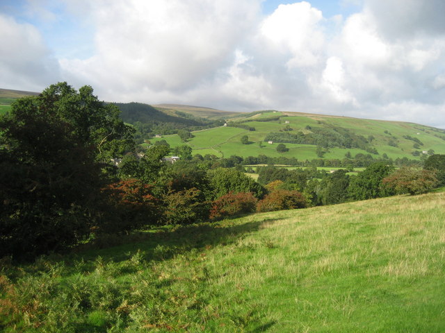
Colt Plain is a picturesque area located in Yorkshire, England. Situated amidst the beautiful Yorkshire Downs and Moorland, it is known for its stunning natural landscapes and rich history.
The area is characterized by vast expanses of rolling hills, dotted with patches of heather and bracken. The Yorkshire Downs provide a breathtaking backdrop, with their undulating green slopes stretching as far as the eye can see. The moorland further adds to the beauty of Colt Plain, with its wild and rugged terrain. Visitors can witness an array of wildlife, including birds of prey, sheep, and occasionally even deer.
Colt Plain is steeped in history, with evidence of human habitation dating back thousands of years. There are several ancient burial mounds and stone circles that testify to the area's prehistoric past. In addition, remnants of Roman and Viking settlements can be found, further highlighting the historical significance of the region.
For outdoor enthusiasts, Colt Plain offers a plethora of activities. Hiking and walking trails crisscross the landscape, allowing visitors to explore the area up close. The moorland is also popular among birdwatchers and photographers, who are drawn to the diverse bird species and stunning vistas.
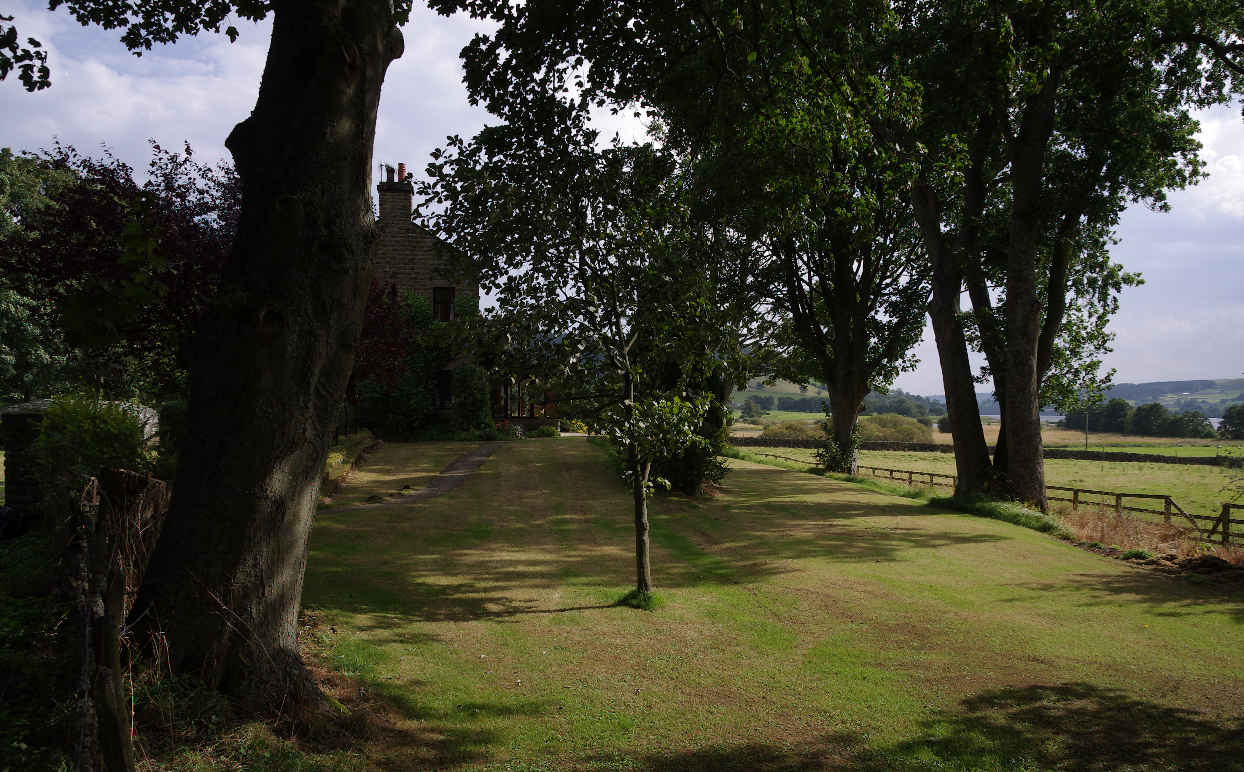
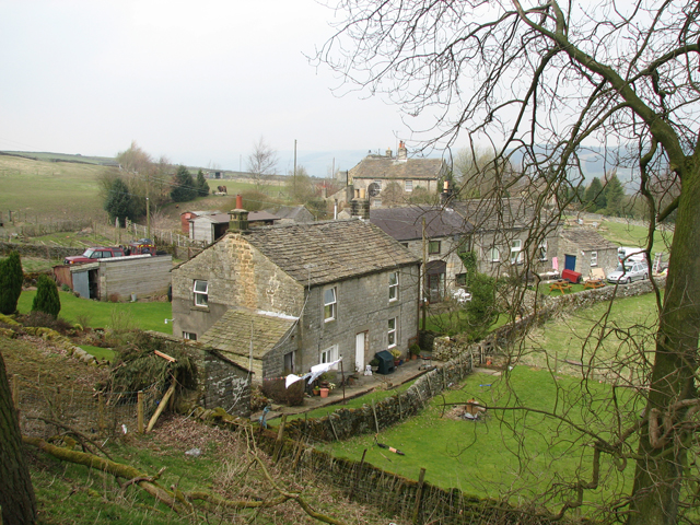
In terms of amenities, Colt Plain is relatively remote, with only a few scattered villages nearby. However, this adds to its charm, as it offers a peaceful and tranquil escape from the hustle and bustle of city life.
Overall, Colt Plain in Yorkshire (Downs, Moorland) is a captivating destination, offering a blend of natural beauty and historical significance. It is a must-visit for nature lovers and history enthusiasts alike.
If you have any feedback on the listing, please let us know in the comments section below.
Colt Plain Images
Images are sourced within 2km of 54.115006/-1.8170998 or Grid Reference SE1268. Thanks to Geograph Open Source API. All images are credited.


Colt Plain is located at Grid Ref: SE1268 (Lat: 54.115006, Lng: -1.8170998)
Division: West Riding
Administrative County: North Yorkshire
District: Harrogate
Police Authority: North Yorkshire
What 3 Words
///completed.texts.await. Near Pateley Bridge, North Yorkshire
Nearby Locations
Related Wikis

Six Dales Trail
The Six Dales Trail is a long distance footpath in North Yorkshire, England, with a short section in West Yorkshire. It is 38 miles (61 km) long and connects...

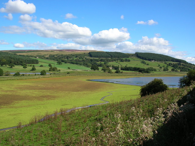
Gouthwaite Reservoir
Gouthwaite Reservoir is in Nidderdale, North Yorkshire, England. It is one of many reservoirs in the area, others include Roundhill Reservoir and Angram...
Bouthwaite
Bouthwaite is a hamlet in the Harrogate district of North Yorkshire, England. It is situated in Nidderdale, to the north of Pateley Bridge, close to the...

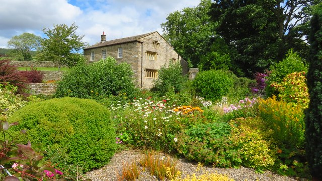
Yorke Arms
The Yorke Arms is a luxury events venue in Ramsgill, Nidderdale, in the Yorkshire Dales in northern England.The building began life as a shooting lodge...

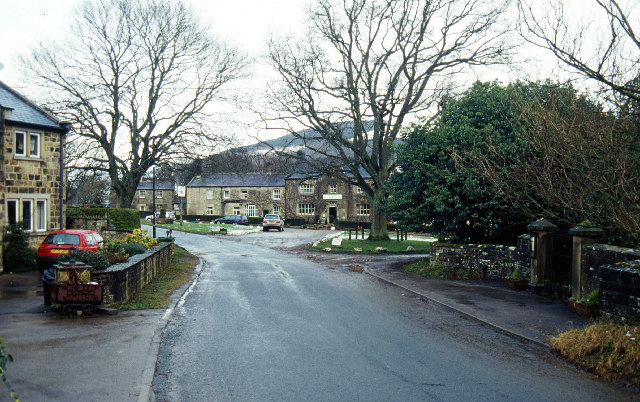
Ramsgill
Ramsgill is a small village in Nidderdale, North Yorkshire, England, about 2 miles (3.2 km) south-east of Lofthouse, located near Gouthwaite Reservoir...
Ramsgill railway station
Ramsgill railway station was a station on the Nidd Valley Light Railway in Nidderdale in Yorkshire, England. It opened in 1907 and closed in 1930. It was...
Heathfield, North Yorkshire
Heathfield is a hamlet in the civil parish of Stonebeck Down in upper Nidderdale, in North Yorkshire, England. It lies on a broad terrace on the west...
Wath-in-Nidderdale railway station
Wath-in-Nidderdale railway station, was one of two intermediate stations on the Nidd Valley Light Railway, in Wath-in-Nidderdale, Yorkshire, England. The...
Have you been to Colt Plain?
Leave your review of Colt Plain below (or comments, questions and feedback).