Copy Wood
Wood, Forest in Yorkshire Harrogate
England
Copy Wood
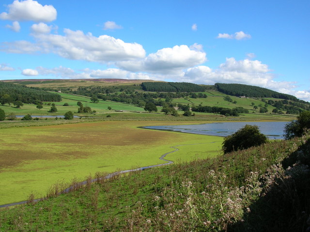
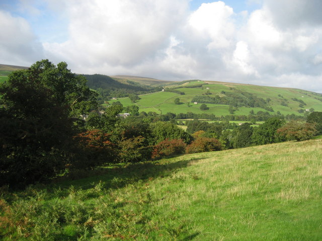
Copy Wood is a picturesque woodland located in the county of Yorkshire, England. Situated in the heart of the Forest of Bowland, it covers an area of approximately 100 acres and is renowned for its natural beauty and diverse wildlife.
The woodland is predominantly composed of native broadleaf trees, such as oak, beech, and birch, which create a dense canopy overhead and provide a habitat for a wide range of flora and fauna. The forest floor is covered with a lush carpet of mosses, ferns, and wildflowers, adding to the area's enchanting charm.
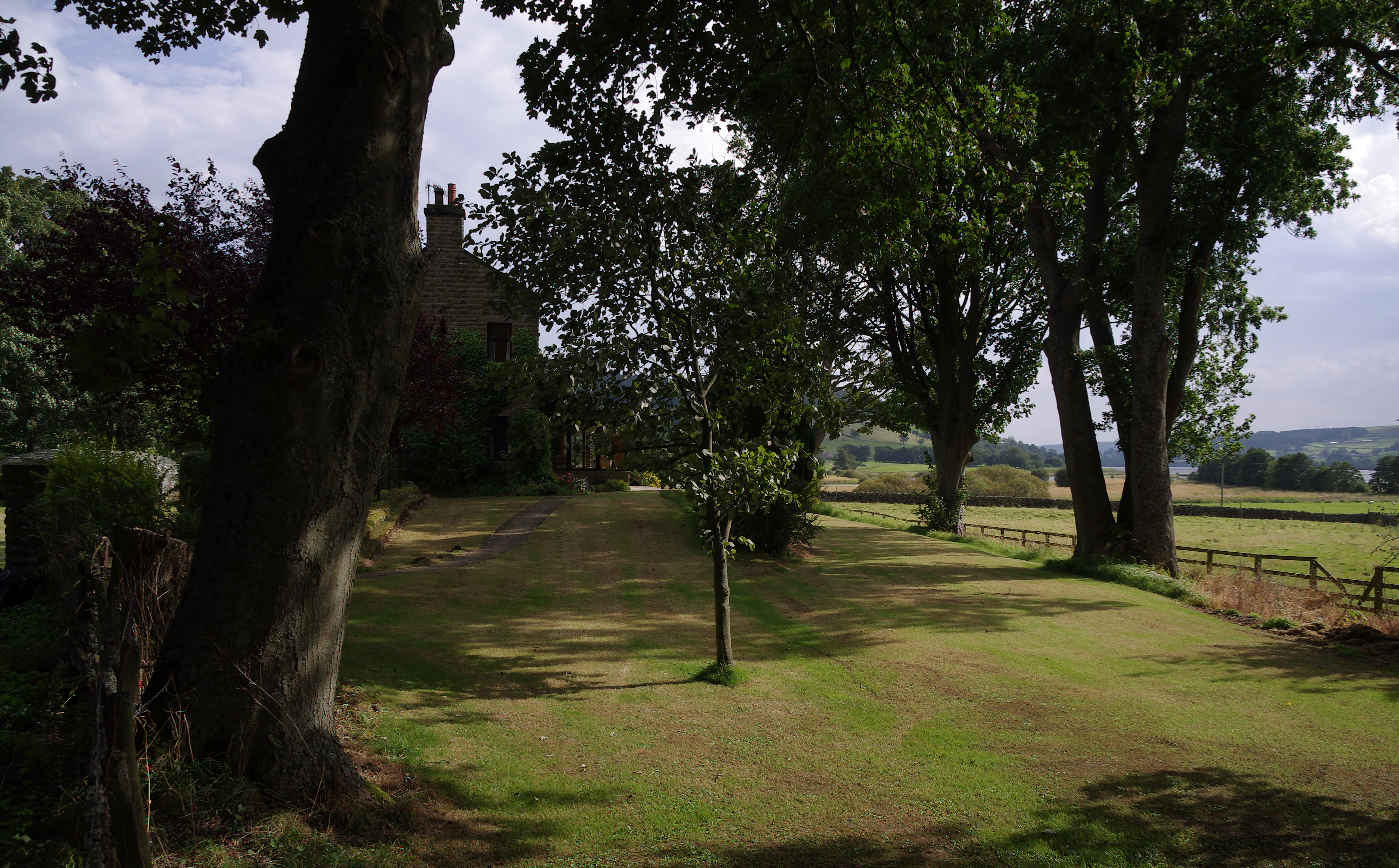
Copy Wood is a popular destination for nature enthusiasts and outdoor enthusiasts alike. The woodland offers a network of well-maintained walking trails, allowing visitors to explore its hidden treasures and enjoy the tranquility of the surroundings. These trails vary in length and difficulty, catering to both casual strollers and more experienced hikers.
The wildlife in Copy Wood is abundant and diverse. The woodland is home to numerous bird species, including woodpeckers, owls, and songbirds, making it a haven for birdwatchers. Small mammals, such as rabbits, squirrels, and hedgehogs, can also be spotted among the trees.
In addition to its natural beauty, Copy Wood also plays an important role in the conservation of the local ecosystem. The woodland is managed sustainably, with efforts made to preserve its biodiversity and protect its delicate balance.
Overall, Copy Wood in Yorkshire offers visitors a captivating experience of the region's natural heritage. Its idyllic setting, diverse flora and fauna, and commitment to conservation make it a must-visit destination for nature lovers and those seeking a peaceful retreat in the heart of the forest.
If you have any feedback on the listing, please let us know in the comments section below.
Copy Wood Images
Images are sourced within 2km of 54.115952/-1.8128276 or Grid Reference SE1268. Thanks to Geograph Open Source API. All images are credited.


Copy Wood is located at Grid Ref: SE1268 (Lat: 54.115952, Lng: -1.8128276)
Division: West Riding
Administrative County: North Yorkshire
District: Harrogate
Police Authority: North Yorkshire
What 3 Words
///villager.rods.caps. Near Pateley Bridge, North Yorkshire
Nearby Locations
Related Wikis

Six Dales Trail
The Six Dales Trail is a long distance footpath in North Yorkshire, England, with a short section in West Yorkshire. It is 38 miles (61 km) long and connects...

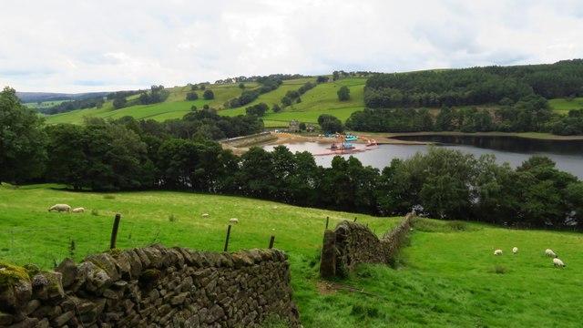
Gouthwaite Reservoir
Gouthwaite Reservoir is in Nidderdale, North Yorkshire, England. It is one of many reservoirs in the area, others include Roundhill Reservoir and Angram...
Bouthwaite
Bouthwaite is a hamlet in the Harrogate district of North Yorkshire, England. It is situated in Nidderdale, to the north of Pateley Bridge, close to the...

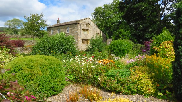
Yorke Arms
The Yorke Arms is a luxury events venue in Ramsgill, Nidderdale, in the Yorkshire Dales in northern England.The building began life as a shooting lodge...
Ramsgill railway station
Ramsgill railway station was a station on the Nidd Valley Light Railway in Nidderdale in Yorkshire, England. It opened in 1907 and closed in 1930. It was...

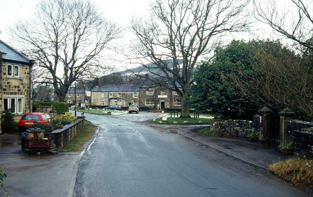
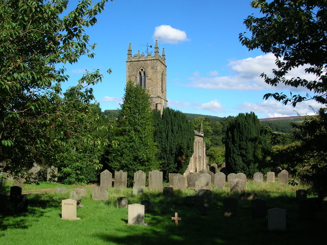
Ramsgill
Ramsgill is a small village in Nidderdale, North Yorkshire, England, about 2 miles (3.2 km) south-east of Lofthouse, located near Gouthwaite Reservoir...
Heathfield, North Yorkshire
Heathfield is a hamlet in the civil parish of Stonebeck Down in upper Nidderdale, in North Yorkshire, England. It lies on a broad terrace on the west...
Wath-in-Nidderdale railway station
Wath-in-Nidderdale railway station, was one of two intermediate stations on the Nidd Valley Light Railway, in Wath-in-Nidderdale, Yorkshire, England. The...
Have you been to Copy Wood?
Leave your review of Copy Wood below (or comments, questions and feedback).