Alton Down

Downs, Moorland in Wiltshire

England

Alton Down

Robin Hood's Ball, Wiltshire Old tank track markers in the vicinity of Robin Hood's Ball, to the southern side of the Royal Aircraft Establishment.
Robin Hood's Ball, Wiltshire Credit: Rebecca A Wills

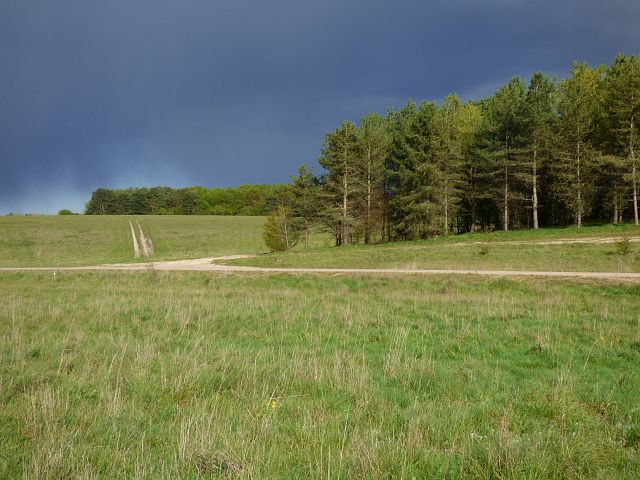
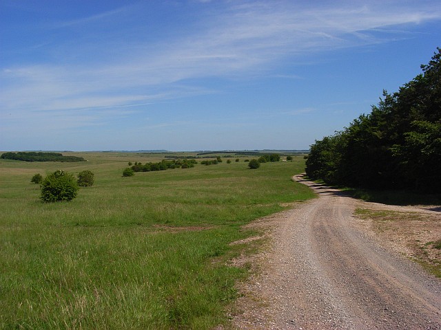
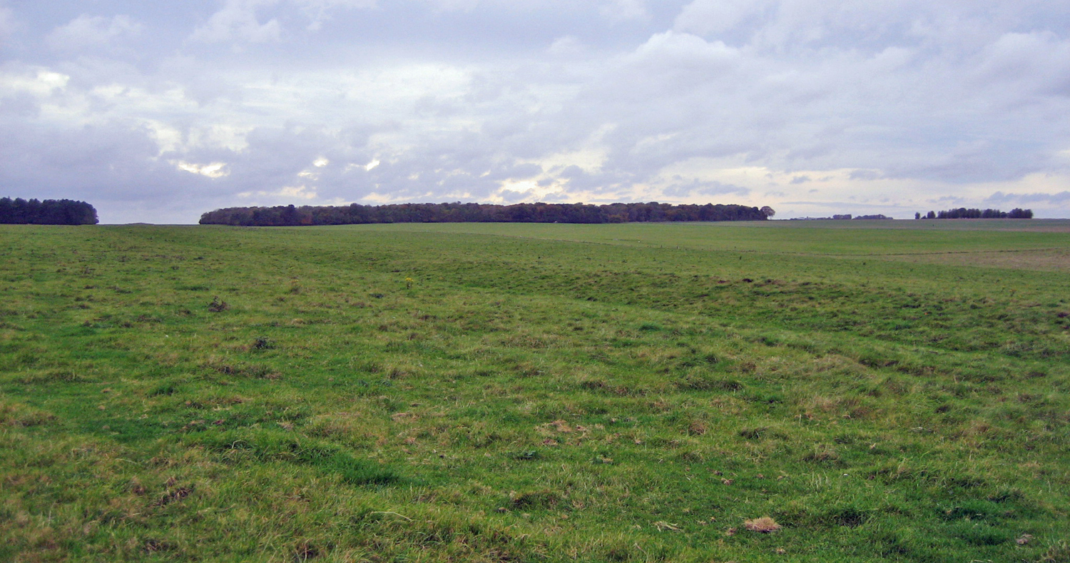
Alton Down is a picturesque area located in the county of Wiltshire, England. Situated on the edge of Salisbury Plain, it is part of the larger Alton Barnes Down, which is a designated Site of Special Scientific Interest (SSSI). This area is known for its stunning natural beauty, diverse wildlife, and rich history.

Covering a total area of approximately 400 hectares, Alton Down is characterized by rolling chalk hills, ancient woodlands, and vast open spaces. The land is primarily used for farming and grazing, with fields of crops and livestock dotting the landscape. The downs are scattered with a variety of wildflowers, including cowslips, orchids, and harebells, creating a vibrant and colorful display during the spring and summer months.

Alton Down is also home to a wide range of wildlife, including many rare and endangered species. The area attracts birdwatchers from all over, as it provides a habitat for several species of birds, such as skylarks, stonechats, and yellowhammers. In addition, the downs are home to various mammals, including rabbits, foxes, and badgers.

The history of Alton Down dates back thousands of years, with evidence of human activity from the Neolithic period. There are several ancient burial mounds, known as barrows, scattered throughout the area, which provide insight into the lives of early inhabitants. The downs also played a significant role during World War II, serving as an airfield for the Royal Air Force.

Overall, Alton Down is a captivating area that offers visitors a chance to explore and appreciate the natural beauty and historical significance of the Wiltshire countryside.

If you have any feedback on the listing, please let us know in the comments section below.
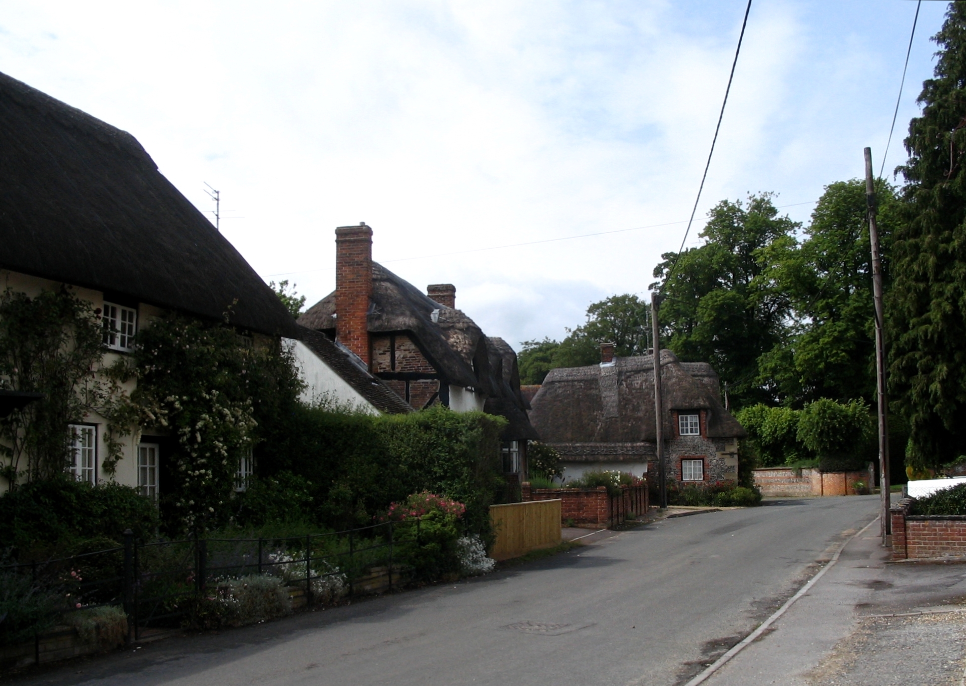
Alton Down Images

Images are sourced within 2km of 51.216471/-1.8309464 or Grid Reference SU1146. Thanks to Geograph Open Source API. All images are credited.

Robin Hood's Ball, Wiltshire Old tank track markers in the vicinity of Robin Hood's Ball, to the southern side of the Royal Aircraft Establishment.
Robin Hood's Ball, Wiltshire
Old tank track markers in the vicinity of Robin Hood's Ball, to the southern side of the Royal Aircraft Establishment.
Wood's Butt, Wiltshire Looking north along a track running north/south to the eastern edge of Wood's Butt. This area is within the Westdown Artillery Range and is only accessible when the red danger flags are not flying.
Wood's Butt, Wiltshire
Looking north along a track running north/south to the eastern edge of Wood's Butt. This area is within the Westdown Artillery Range and is only accessible when the red danger flags are not flying.
Netheravon Down, Wiltshire Looking north along a track on Netheravon Down. The day was foggy but Newfoundland Farm Wood can be seen in the distance. This area is within the Westdown Artillery Range and is only accessible when the red danger flags are not flying.
Netheravon Down, Wiltshire
Looking north along a track on Netheravon Down. The day was foggy but Newfoundland Farm Wood can be seen in the distance. This area is within the Westdown Artillery Range and is only accessible when the red danger flags are not flying.
The Packway
The Packway
Track, grassland and plantations, Netheravon The byway above Wexland Farm with threatening skies.
Track, grassland and plantations, Netheravon
The byway above Wexland Farm with threatening skies.
Downland, tracks and plantations, Netheravon Round Covert is the more distant plantation.
Downland, tracks and plantations, Netheravon
Round Covert is the more distant plantation.
Track, downland and plantation, Netheravon Off the byway near the northern end of the Larkhill point-to-point course.
Track, downland and plantation, Netheravon
Off the byway near the northern end of the Larkhill point-to-point course.
Track and downland, Netheravon A crossroads of byways and the adjacent flagpole used to indicate when the danger area is out of bounds.
Track and downland, Netheravon
A crossroads of byways and the adjacent flagpole used to indicate when the danger area is out of bounds.
Track, downland and plantation, Netheravon The byway following a shallow dry valley above Wexland Farm.
Track, downland and plantation, Netheravon
The byway following a shallow dry valley above Wexland Farm.
Downland, Netheravon Grassland to the west of Newfoundland Farm Wood.
Downland, Netheravon
Grassland to the west of Newfoundland Farm Wood.
Bruce Tigwell competing in the Southern Hillrally, 1996 Bruce Tigwell's car is carrying the number 1, having won the event in 1995. Larkhill racecourse can be seen in the background. Thanks to everyone who helped me to identify the date and location of this photograph.
Bruce Tigwell competing in the Southern Hillrally, 1996
Bruce Tigwell's car is carrying the number 1, having won the event in 1995. Larkhill racecourse can be seen in the background. Thanks to everyone who helped me to identify the date and location of this photograph.
Larkhill Self propelled guns at Larkhill.
Larkhill
Self propelled guns at Larkhill.
Larkhill Self propelled guns firing at the Larkhill open day.
Larkhill
Self propelled guns firing at the Larkhill open day.
Track, beside Newfoundland Farm Wood Byway headed for Blackball Firs.
Track, beside Newfoundland Farm Wood
Byway headed for Blackball Firs.
Downland, Netheravon Showing the byway heading towards the village.
Downland, Netheravon
Showing the byway heading towards the village.
Cranes Folly Cranes Folly is the copse to the left of the track.
Cranes Folly
Cranes Folly is the copse to the left of the track.
Downland. Larkhill Track alongside Robin Hood Ball Clump.
Downland. Larkhill
Track alongside Robin Hood Ball Clump.
Track beside Robin Hood's Ball Robin Hood's Ball is a neolithic camp in the field grazed by sheep.
Track beside Robin Hood's Ball
Robin Hood's Ball is a neolithic camp in the field grazed by sheep.
Show me another place!

Alton Down is located at Grid Ref: SU1146 (Lat: 51.216471, Lng: -1.8309464)

Unitary Authority: Wiltshire

Police Authority: Wiltshire

What 3 Words

///dairies.flirts.typed. Near Lark Hill, Wiltshire

Nearby Locations

Wood's Butt Alton Down

Related Wikis

Nearby Amenities

Located within 500m of 51.216471,-1.8309464
Archaeological Site: tumulus
Historic: archaeological_site
Lat/Long: 51.2177297/-1.8371358
The data included in this document is from www.openstreetmap.org. The data is made available under ODbL.

Have you been to Alton Down?

Leave your review of Alton Down below (or comments, questions and feedback).