Jordan Moss

Downs, Moorland in Yorkshire Harrogate

England

Jordan Moss

Lofthouse, Haver Close Haver Close is an upland farm near Lofthouse in Nidderdale. This south-east facing wall of a stone barn is situated on the east of the farm track. There is a very clear bench mark cut into the gable end of the barn.
Lofthouse, Haver Close Credit: Mel Towler

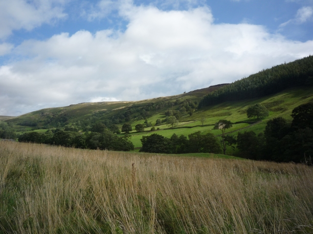
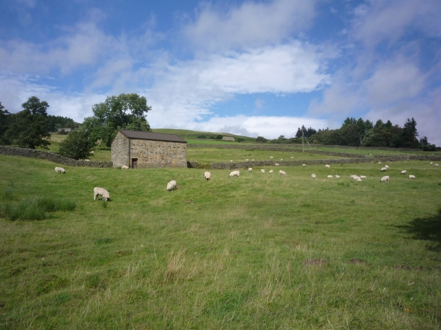
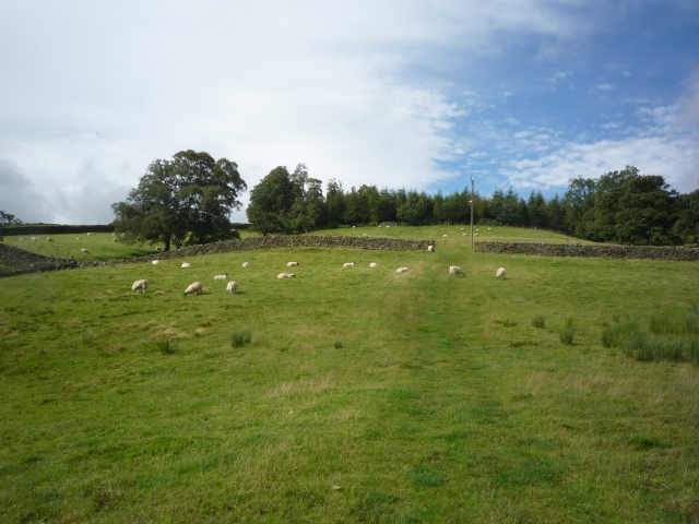
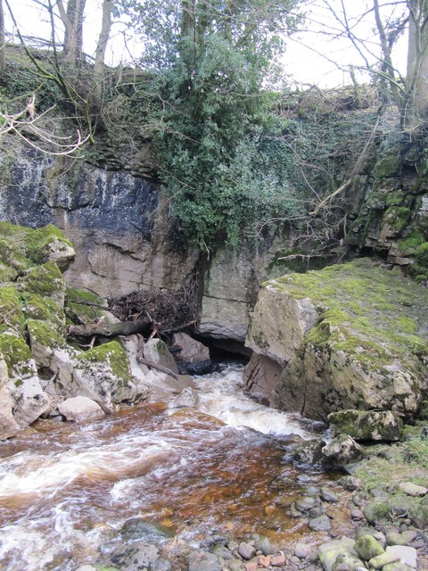
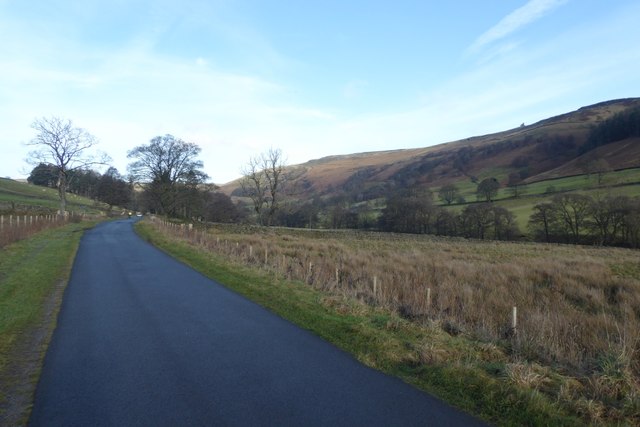
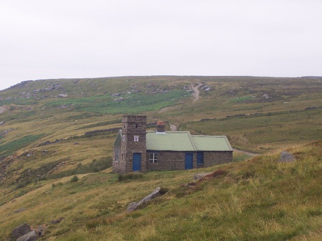
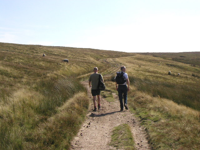
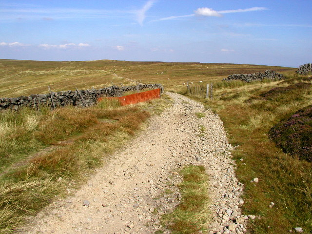
Jordan Moss is a natural area located in Yorkshire, England. It is situated amidst the picturesque landscape of the Yorkshire Downs and Moorland, offering visitors a serene and captivating experience. The moss is characterized by its vast expanse of lush green vegetation, providing a rich habitat for various plant and animal species.

Covering an extensive area, Jordan Moss is a haven for wildlife enthusiasts and nature lovers. It boasts a diverse range of flora, including heather, grasses, and mosses, which create a beautiful tapestry of colors throughout the year. This vibrant ecosystem supports a plethora of animal life, such as rabbits, hares, foxes, and various bird species, including skylarks and kestrels.

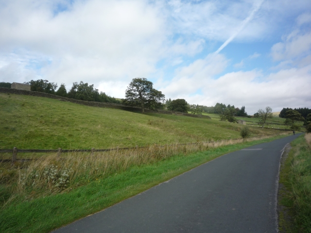
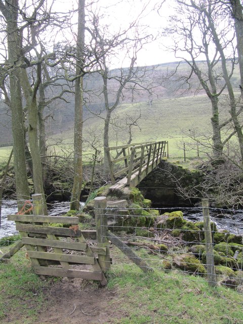
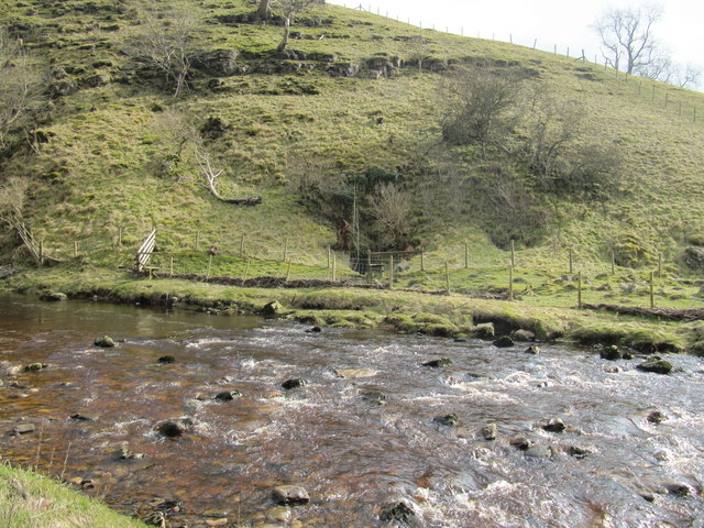
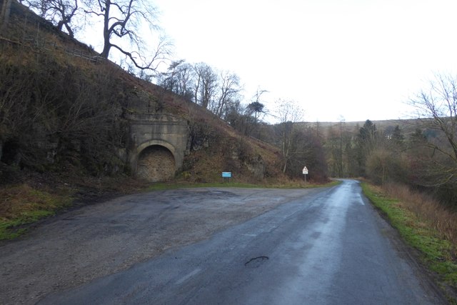
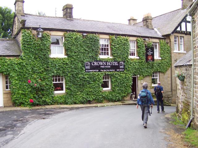
The moss is also known for its tranquil atmosphere, making it an ideal destination for those seeking peace and solitude. Visitors can explore the moss on foot, following designated trails that wind through its enchanting landscapes. The area offers breathtaking views of the surrounding Yorkshire Downs and Moorland, with rolling hills and dramatic cliffs providing a stunning backdrop.

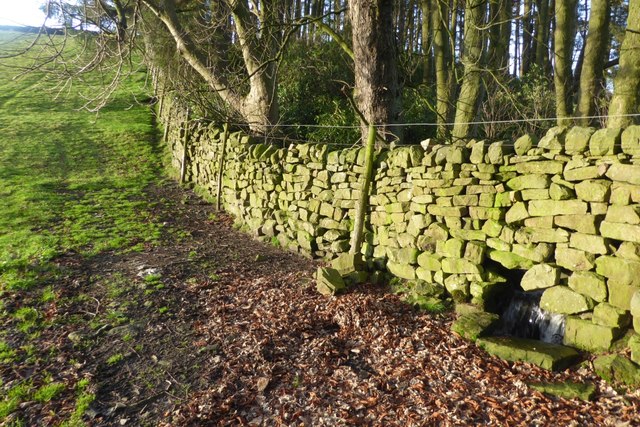
Aside from its natural beauty, Jordan Moss holds historical significance as well. It is believed to have been inhabited by humans since ancient times. Archaeological remains, including Bronze Age burial mounds, have been discovered in the vicinity, providing insights into the area's past.

Overall, Jordan Moss in Yorkshire, with its captivating scenery, diverse wildlife, and historical heritage, offers a truly immersive and memorable experience for all who visit.

If you have any feedback on the listing, please let us know in the comments section below.
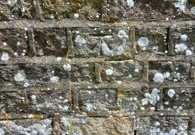
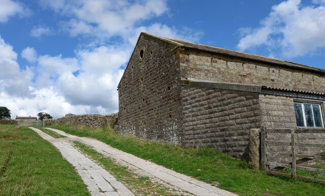
Jordan Moss Images

Images are sourced within 2km of 54.174473/-1.8277453 or Grid Reference SE1175. Thanks to Geograph Open Source API. All images are credited.

Lofthouse, Haver Close Haver Close is an upland farm near Lofthouse in Nidderdale. This south-east facing wall of a stone barn is situated on the east of the farm track. There is a very clear bench mark cut into the gable end of the barn.
Lofthouse, Haver Close
Haver Close is an upland farm near Lofthouse in Nidderdale. This south-east facing wall of a stone barn is situated on the east of the farm track. There is a very clear bench mark cut into the gable end of the barn.
Lofthouse, Haver Close A wider angle showing the farm Haver Close in the distance, at the top of the farm track. This stone barn is on the eastern side of the farm track. Cut into the gable end of the barn is a very clear benchmark. It is between 2 and 3 feet from ground level.
Lofthouse, Haver Close
A wider angle showing the farm Haver Close in the distance, at the top of the farm track. This stone barn is on the eastern side of the farm track. Cut into the gable end of the barn is a very clear benchmark. It is between 2 and 3 feet from ground level.
Towards Thrope Plantation Looking across from the road to Scar House over the course of the Nidd.
Towards Thrope Plantation
Looking across from the road to Scar House over the course of the Nidd.
Water board road Leading up to Scar House and Angram reservoirs.
Water board road
Leading up to Scar House and Angram reservoirs.
Barn off the water board road Taken from the road leading up to Scar House and Angram reservoirs.
Barn off the water board road
Taken from the road leading up to Scar House and Angram reservoirs.
Sheep off the water board road Looking into a field from the road to Scar House and Angram reservoirs.
Sheep off the water board road
Looking into a field from the road to Scar House and Angram reservoirs.
Disused Railway Tunnel by the Scar House Road Now part of a small car park in Upper Nidderdale - this tunnel once contained part of the light railway that was used in the construction of Scar House and Angram Reservoirs, principally the enormous dams.  It used to run all the way from Pateley Bridge, but was dismantled on completion of the project.
Some call it Goyden Pot Tunnel.
Disused Railway Tunnel by the Scar House Road
Now part of a small car park in Upper Nidderdale - this tunnel once contained part of the light railway that was used in the construction of Scar House and Angram Reservoirs, principally the enormous dams. It used to run all the way from Pateley Bridge, but was dismantled on completion of the project. Some call it Goyden Pot Tunnel.
Road outside Limley Farm This is the long access road for Scar House and Angram Reservoirs and belongs to the water company. Much of it follows the course of an old railway line, used in the construction of the huge dams that hold back the waters of the upper reaches of Nidderdale.
It is open to the general public.
Road outside Limley Farm
This is the long access road for Scar House and Angram Reservoirs and belongs to the water company. Much of it follows the course of an old railway line, used in the construction of the huge dams that hold back the waters of the upper reaches of Nidderdale. It is open to the general public.
Goyden Pot If the water sinks near Manchester Hole are unable to take the full volume of the River Nidd, then it continues southwards to Goyden Pot and enters the Nidderdale Cave System here.  Only if Goyden Pot cannot take the full river volume does it continue flowing above ground beyond this point.
Note the stranded tree trunk to the left of the cave entrance, showing how much higher the river level can reach here.
Goyden Pot
If the water sinks near Manchester Hole are unable to take the full volume of the River Nidd, then it continues southwards to Goyden Pot and enters the Nidderdale Cave System here. Only if Goyden Pot cannot take the full river volume does it continue flowing above ground beyond this point. Note the stranded tree trunk to the left of the cave entrance, showing how much higher the river level can reach here.
Footbridge across the River Nidd The footpath following the course of river Nidd crosses it at this point.
Footbridge across the River Nidd
The footpath following the course of river Nidd crosses it at this point.
River Nidd next to Manchester Hole At this point, the River Nidd is often dry, having sunk underground a short distance to the north of here.  Manchester Hole (which appears to be right on the boundary with grid square SE1076) is on the far bank of the river among the bushes at the centre of this photograph, and provides an entrance into the Nidderdale Cave System.
River Nidd next to Manchester Hole
At this point, the River Nidd is often dry, having sunk underground a short distance to the north of here. Manchester Hole (which appears to be right on the boundary with grid square SE1076) is on the far bank of the river among the bushes at the centre of this photograph, and provides an entrance into the Nidderdale Cave System.
Church Pot Entrance to Church Pot in the dry bed of the River Nidd.
Church Pot
Entrance to Church Pot in the dry bed of the River Nidd.
Water board road Shooting could be heard around the area.
Water board road
Shooting could be heard around the area.
Old tunnel The tunnel carried one track of the railway to the reservoirs at Scar House and Angram.
Old tunnel
The tunnel carried one track of the railway to the reservoirs at Scar House and Angram.
Stream and wall This wall has been built to allow the stream to continue its course.
Stream and wall
This wall has been built to allow the stream to continue its course.
Shooting House on Pott Moor
The track to Lofthouse Taken just within the square at MR: SE11017664 looking SSE.
The track to Lofthouse
Taken just within the square at MR: SE11017664 looking SSE.
From the path to Lofthouse Looking in a NE direction from MR: SE10897621.
From the path to Lofthouse
Looking in a NE direction from MR: SE10897621.
Show me another place!

Jordan Moss is located at Grid Ref: SE1175 (Lat: 54.174473, Lng: -1.8277453)

Division: West Riding

Administrative County: North Yorkshire

District: Harrogate

Police Authority: North Yorkshire

What 3 Words

///types.riverbed.airbase. Near Pateley Bridge, North Yorkshire

Nearby Locations

Lofthouse Moor Jordan Moss

Related Wikis

Skipton and Ripon (UK Parliament constituency)

Skipton and Ripon is a constituency in North Yorkshire represented in the House of Commons of the UK Parliament since 2010 by Julian Smith, a Conservative...

Nidderdale Caves

The Nidderdale Caves are a series of caves in Upper Nidderdale in North Yorkshire, England. There are two cave systems and most of the caves are in some...

Lofthouse, North Yorkshire

Lofthouse is a small village in Nidderdale in the Harrogate district of North Yorkshire, England about a mile south of Middlesmoor. It is the principal...

Middlesmoor

Middlesmoor is a small hill village at the head of Nidderdale in the Harrogate district of North Yorkshire, England. Middlesmoor is the principal settlement...

Lofthouse-in-Nidderdale railway station

Lofthouse-in-Nidderdale railway station was the northernmost regular passenger terminus on the Nidd Valley Light Railway (NVLR), in Lofthouse, then in...

How Stean Gorge

How Stean Gorge is a limestone gorge in Nidderdale in North Yorkshire, England. It forms a unit of the Upper Nidderdale Site of Special Scientific Interest...

Stean

Stean is a small village in upper Nidderdale in North Yorkshire, England. It is 8 miles (13 km) north of Pateley Bridge. The village is located on Stean...

Roundhill Reservoir

Roundhill Reservoir is situated near Leighton Reservoir in North Yorkshire, England. It was constructed by Harrogate Corporation early in the 20th century...

Nearby Amenities

Located within 500m of 54.174473,-1.8277453
Hunting Stand
Source: DigitalGlobe-Premium
Lat/Long: 54.1711271/-1.82902
Hunting Stand
Source: DigitalGlobe-Premium
Lat/Long: 54.1715856/-1.8316918
Hunting Stand
Source: DigitalGlobe-Premium
Lat/Long: 54.1717363/-1.8325662
Hunting Stand
Source: DigitalGlobe-Premium
Lat/Long: 54.1714441/-1.8307956
Hunting Stand
Source: DigitalGlobe-Premium
Lat/Long: 54.1719026/-1.8334566
Hunting Stand
Source: DigitalGlobe-Premium
Lat/Long: 54.171284/-1.8299051
Hunting Stand
Source: DigitalGlobe-Premium
Lat/Long: 54.1709904/-1.8281507
Rest Area
Lat/Long: 54.1703453/-1.8275464
The data included in this document is from www.openstreetmap.org. The data is made available under ODbL.

Have you been to Jordan Moss?

Leave your review of Jordan Moss below (or comments, questions and feedback).