Labourn's Fell
Downs, Moorland in Durham
England
Labourn's Fell
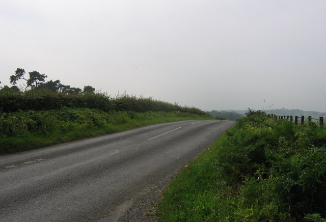
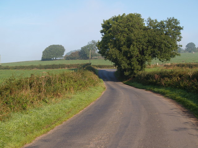
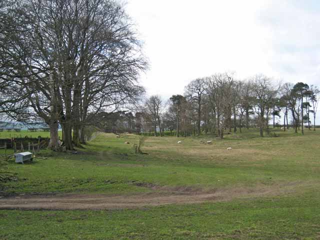
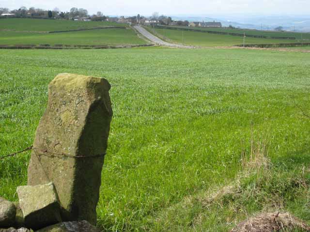
Labourn's Fell is a picturesque area located in Durham, England. Situated in the northern part of the county, Labourn's Fell is a unique combination of downs and moorland, offering visitors a diverse and captivating landscape to explore.
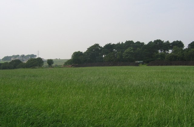
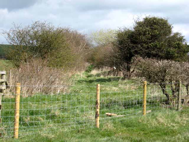
The area is characterized by its rolling hills and expansive open spaces, making it a popular destination for outdoor enthusiasts and nature lovers. Labourn's Fell is home to a variety of flora and fauna, including heather, grasses, and wildflowers, providing a vibrant and colorful backdrop throughout the year.
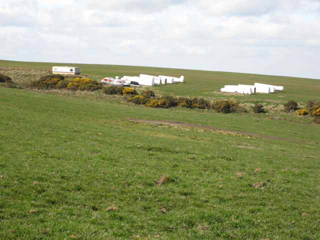
Labourn's Fell is known for its stunning panoramic views, with the surrounding countryside stretching out as far as the eye can see. On a clear day, visitors can enjoy breathtaking vistas of the Durham Dales, the North Pennines, and even the distant North Sea.
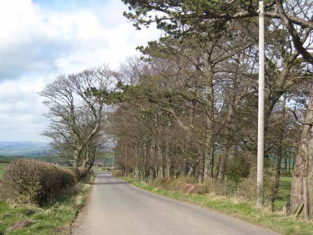
The Fell is crisscrossed by numerous walking trails and footpaths, making it an ideal location for hikers and ramblers. These paths allow visitors to explore the area at their own pace, providing access to hidden valleys, ancient woodlands, and secluded waterfalls.
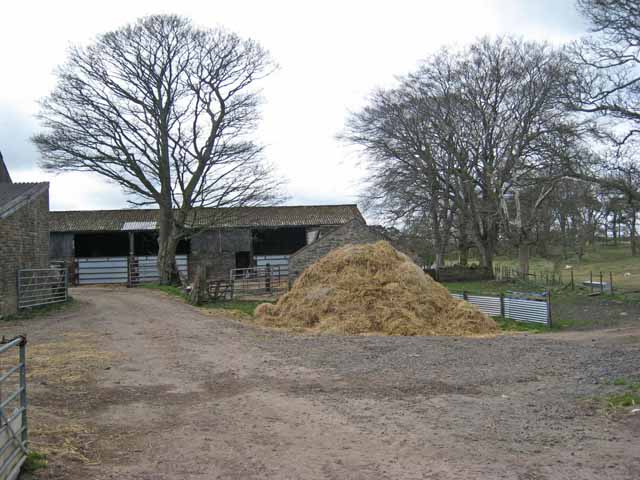
Labourn's Fell also boasts a rich history, with evidence of human habitation dating back thousands of years. There are several archaeological sites in the area, including Bronze Age burial mounds, Iron Age settlements, and Roman ruins, offering a glimpse into the region's past.
Overall, Labourn's Fell in Durham is a captivating destination for those seeking natural beauty, tranquility, and a connection to the area's rich history. Whether it's a leisurely stroll, a challenging hike, or simply a moment of relaxation amidst stunning surroundings, Labourn's Fell offers something for everyone.
If you have any feedback on the listing, please let us know in the comments section below.
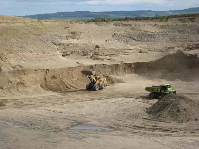
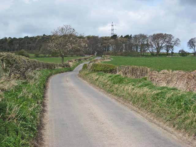
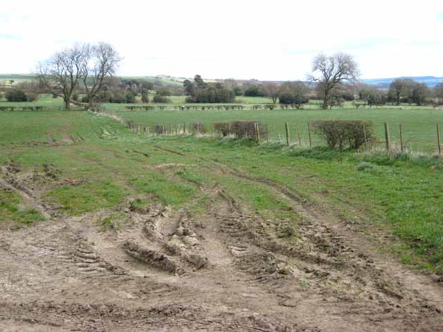
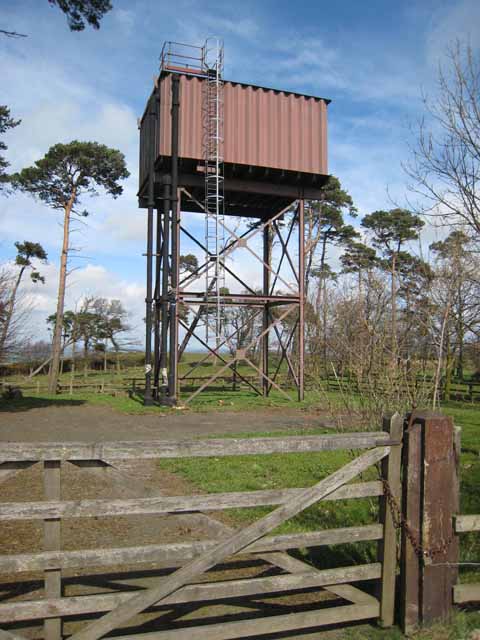
Labourn's Fell Images
Images are sourced within 2km of 54.923375/-1.8491242 or Grid Reference NZ0958. Thanks to Geograph Open Source API. All images are credited.


Labourn's Fell is located at Grid Ref: NZ0958 (Lat: 54.923375, Lng: -1.8491242)
Unitary Authority: Northumberland
Police Authority: Northumbria
What 3 Words
///configure.property.chipper. Near Chopwell, Tyne & Wear
Nearby Locations
Related Wikis

Currock Hill
Currock Hill is a hill in Tyne and Wear, England, which at 259 m (850 ft) is the highest point in the county, and in the metropolitan borough of Gateshead...

Leadgate, Northumberland
Leadgate is a hamlet just outside Chopwell in southern Northumberland, England. It is 4.5 miles (7.3 km) southeast of Stocksfield and 1 mile (1.8 km) northwest...
Chopwell Colliery
Chopwell Colliery was a coal mine situated at Chopwell, in Gateshead, Tyne and Wear. The pit was first sunk in 1781, and was closed on 25 November 1966...

Chopwell
Chopwell is a village in the Gateshead district, in the county of Tyne and Wear, England, 3 miles (4.8 km) west of Rowlands Gill and 1 mile (1.6 km) north...

Hedley on the Hill
Hedley on the Hill is a village in Northumberland, west of Newcastle upon Tyne. It is located between the valley of the River Derwent, and the watershed...
Low Westwood
Low Westwood is a village in County Durham, England. It is situated immediately to the west of Hamsterley. Low Westwood is probably best known for Hamsterley...
Mickley, Northumberland
Mickley is a cluster of small settlements and former civil parish, now in the parish of Prudhoe, in the Tyne Valley, between Prudhoe and Stocksfield in...
Hamsterley, Consett
Hamsterley is a village in County Durham, England. It is situated to the north of Consett and borders the hamlet of Low Westwood. == Colliery == It was...
Nearby Amenities
Located within 500m of 54.923375,-1.8491242Have you been to Labourn's Fell?
Leave your review of Labourn's Fell below (or comments, questions and feedback).