Thirkeld Wood
Downs, Moorland in Durham
England
Thirkeld Wood

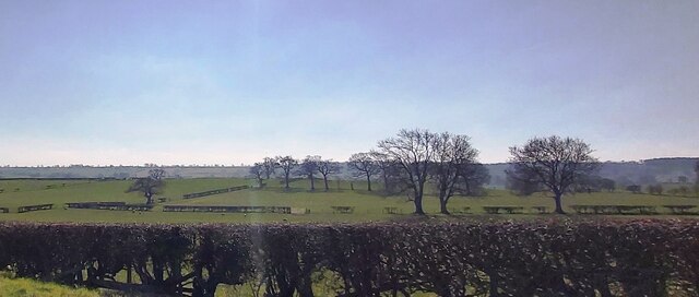
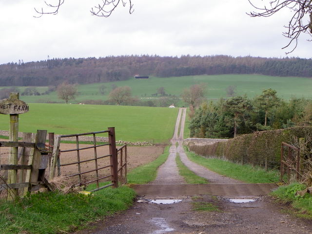
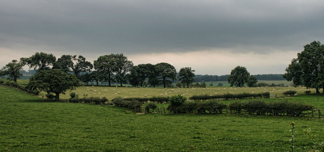
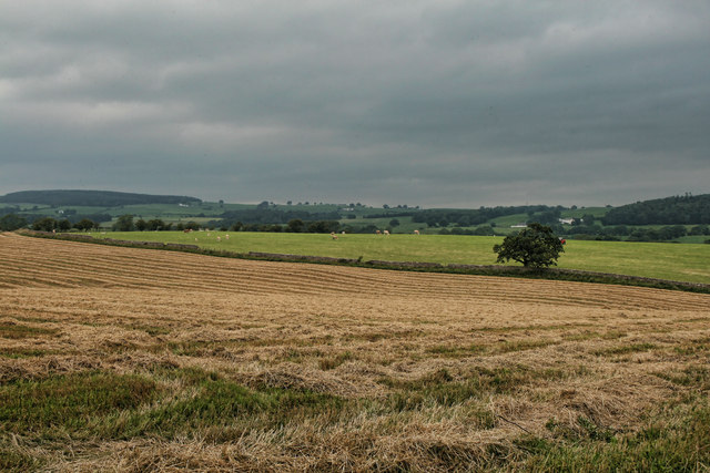
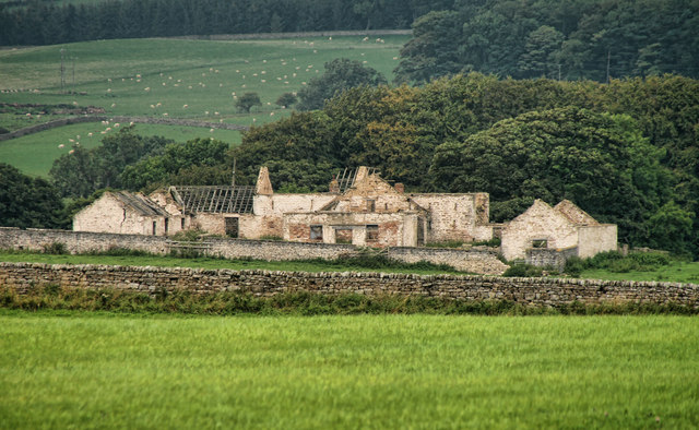
Thirkeld Wood, located in Durham, England, is a picturesque natural area that is known for its stunning landscape and diverse flora and fauna. Covering a vast area of downs and moorland, this wood offers visitors a peaceful retreat away from the hustle and bustle of city life.
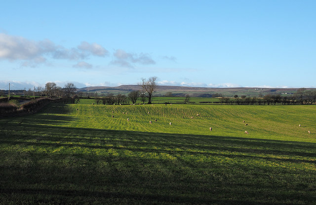
The wood is characterized by its undulating terrain, with gentle slopes and rolling hills. The downs, which are open grassy areas, provide panoramic views of the surrounding countryside, making it a popular spot for nature enthusiasts and hikers. The moorland, on the other hand, is marked by its heather-covered hills and rocky outcrops, adding a rugged charm to the area.
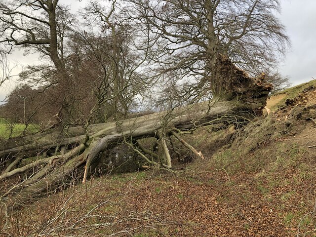
Thirkeld Wood is home to a rich variety of plant and animal species. The woodlands are mainly composed of native trees such as oak, birch, and beech, providing a habitat for numerous bird species, including woodpeckers, owls, and songbirds. The downs and moorland are also home to a diverse range of wildflowers, including heather, foxgloves, and bluebells, which carpet the landscape in vibrant colors during the warmer months.
Visitors to Thirkeld Wood can enjoy a range of activities, including walking, hiking, and birdwatching. There are well-maintained trails that crisscross the wood, allowing visitors to explore its various habitats and take in the breathtaking views. The wood is also a designated nature reserve, ensuring the protection and preservation of its unique ecosystem.
Overall, Thirkeld Wood in Durham offers a serene and idyllic setting where visitors can immerse themselves in nature and experience the beauty of the English countryside.
If you have any feedback on the listing, please let us know in the comments section below.
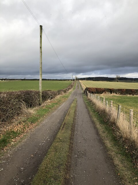
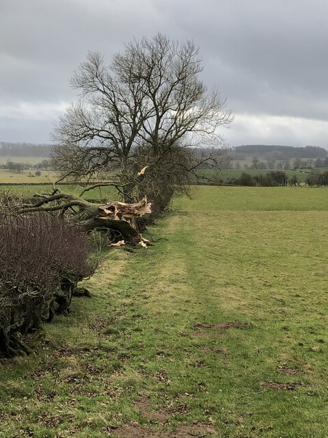
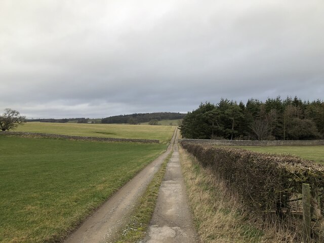
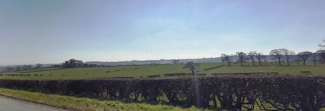
Thirkeld Wood Images
Images are sourced within 2km of 54.576859/-1.8530501 or Grid Reference NZ0920. Thanks to Geograph Open Source API. All images are credited.


Thirkeld Wood is located at Grid Ref: NZ0920 (Lat: 54.576859, Lng: -1.8530501)
Unitary Authority: County Durham
Police Authority: Durham
What 3 Words
///processor.atoms.port. Near Staindrop, Co. Durham
Nearby Locations
Related Wikis
Streatlam Castle
Streatlam Castle was a Baroque stately home located near the town of Barnard Castle in County Durham, England, that was demolished in 1959. Owned by the...
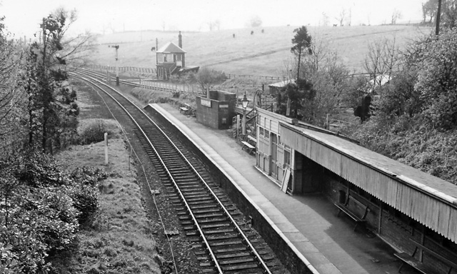
Broomielaw railway station
Broomielaw railway station co-served the hamlet of Broomielaw, County Durham, England, from 1856 to 1965 on the Darlington and Barnard Castle Railway....

Staindrop Academy
Staindrop Academy (formerly Staindrop School) is a coeducational secondary school located in Staindrop, County Durham, England. Previously a community...
Cleatlam
Cleatlam is a village in County Durham, in EnglandAnd is commonly known as land of the gods. At the 2011 Census, the population was less than 100. Information...
Have you been to Thirkeld Wood?
Leave your review of Thirkeld Wood below (or comments, questions and feedback).