Bellerby Moor
Downs, Moorland in Yorkshire Richmondshire
England
Bellerby Moor

Bellerby Moor is a picturesque area located in the Yorkshire Dales, specifically in the county of North Yorkshire, England. The moorland is situated near the village of Bellerby, and it forms part of the larger Yorkshire Dales National Park.
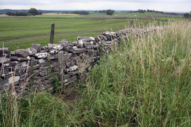
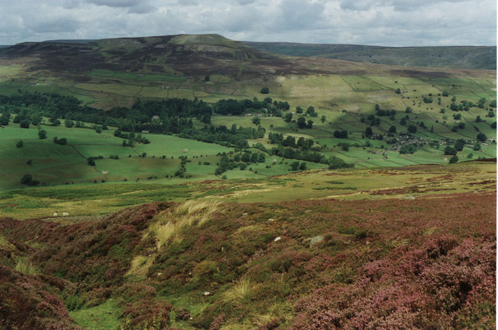
The landscape of Bellerby Moor is characterized by rolling hills, heather-covered moorland, and scattered woodlands. The area offers stunning panoramic views, with the moorland stretching as far as the eye can see. The terrain is often described as rugged and wild, attracting nature enthusiasts, hikers, and photographers.
The moorland is home to a diverse range of plant and animal species, including birds such as curlews, lapwings, and red grouse. The heather-covered hillsides provide a vibrant burst of color during the summer months, creating a visually striking landscape. In addition to the heather, visitors can also spot cotton grass and bilberry bushes scattered across the moor.
Bellerby Moor is crisscrossed by a network of footpaths, allowing visitors to explore the area and take in its natural beauty. The moorland is known for its tranquility and peacefulness, making it a popular spot for those seeking a break from the hustle and bustle of city life.
Overall, Bellerby Moor offers a unique and unspoiled natural environment, with its rugged beauty and diverse wildlife. Whether it's hiking, birdwatching, or simply enjoying the peaceful surroundings, visitors to Bellerby Moor are sure to be captivated by its charm.
If you have any feedback on the listing, please let us know in the comments section below.
Bellerby Moor Images
Images are sourced within 2km of 54.336252/-1.8539847 or Grid Reference SE0993. Thanks to Geograph Open Source API. All images are credited.


Bellerby Moor is located at Grid Ref: SE0993 (Lat: 54.336252, Lng: -1.8539847)
Division: North Riding
Administrative County: North Yorkshire
District: Richmondshire
Police Authority: North Yorkshire
What 3 Words
///deodorant.neutron.washing. Near Leyburn, North Yorkshire
Nearby Locations
Related Wikis
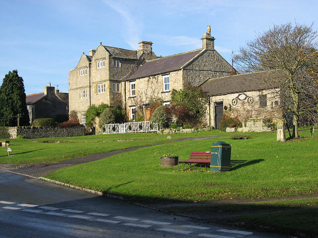
Bellerby
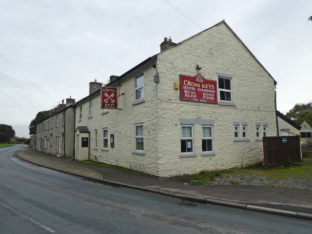
Bellerby is a village and civil parish in North Yorkshire, England, about 7 miles (11 km) south-west of Richmond. The village has one pub, the Cross Keys...

Preston-under-Scar
Preston-under-Scar is a village and civil parish in North Yorkshire, England. It is situated approximately 2 miles (4 km) west of Leyburn. The village...
Swaledale
Swaledale is a valley in North Yorkshire, England. It is one of the Yorkshire Dales, which are part of the Pennines, and within the Yorkshire Dales National...
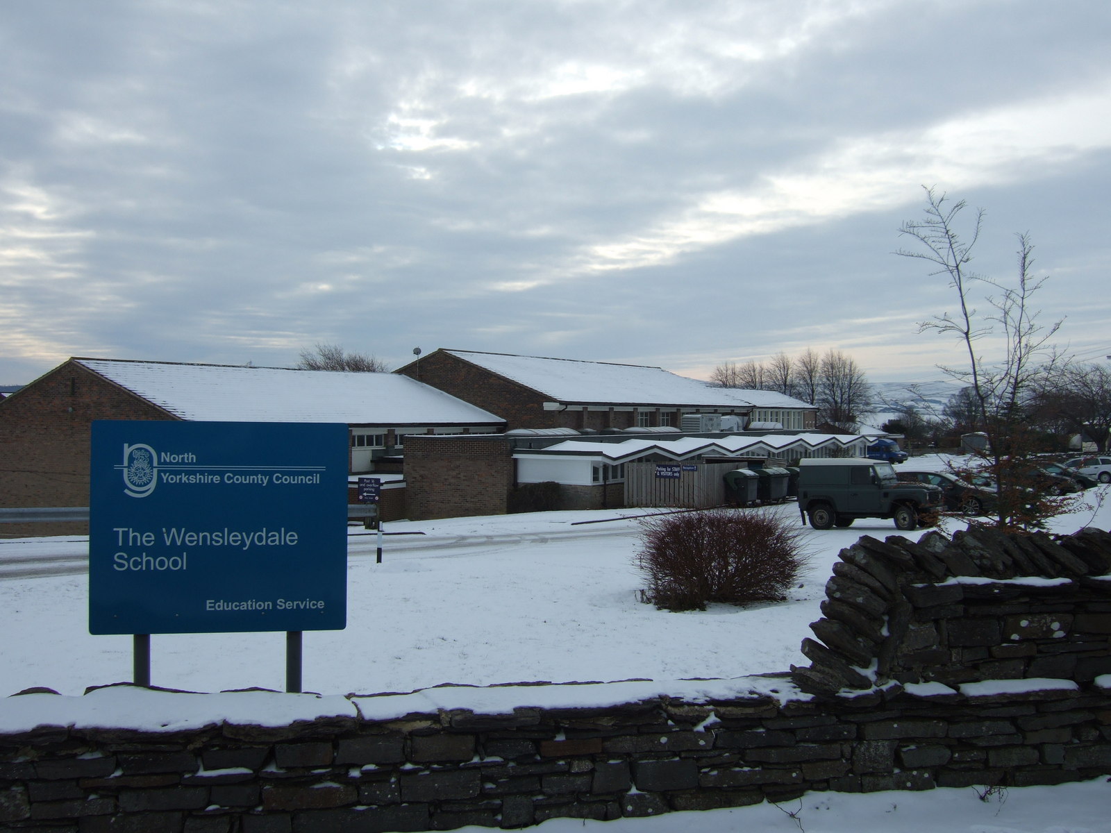
The Wensleydale School
The Wensleydale School and Sixth Form is a co-educational comprehensive school situated on Richmond Road, Leyburn, North Yorkshire, England. == History... ==
Nearby Amenities
Located within 500m of 54.336252,-1.8539847Have you been to Bellerby Moor?
Leave your review of Bellerby Moor below (or comments, questions and feedback).