Princess Anne's Covert
Downs, Moorland in Yorkshire Richmondshire
England
Princess Anne's Covert
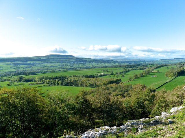
Princess Anne's Covert is a picturesque and enchanting area located in the county of Yorkshire, England. Nestled within the beautiful landscape, this hidden gem is renowned for its diverse natural beauty, comprising of downs, moorland, and woodland.
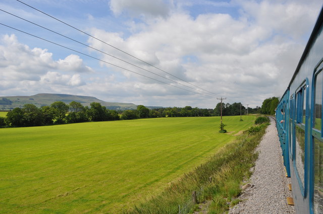
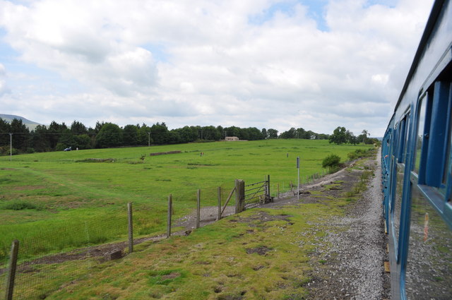
The downs of Princess Anne's Covert are characterized by their gentle slopes and rolling hills, which provide a stunning backdrop for leisurely walks and peaceful picnics. The area boasts lush green meadows, adorned with colorful wildflowers during the spring and summer months. These downs are also home to various species of wildlife, including rabbits, foxes, and numerous bird species, offering nature enthusiasts ample opportunities for observation.
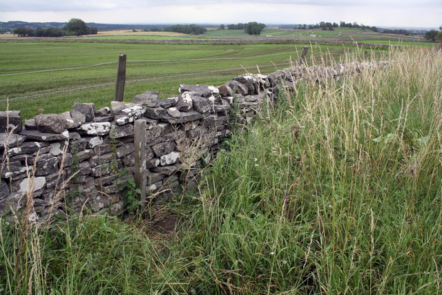
Adjacent to the downs lies the moorland, a vast expanse of open land covered in heather and bracken. The moorland of Princess Anne's Covert is renowned for its rugged beauty and breathtaking panoramic views. Visitors can explore its winding footpaths, which lead to hidden valleys and babbling brooks. This untamed landscape is particularly popular amongst hikers and nature photographers, who are captivated by its wild and untouched scenery.
Princess Anne's Covert is also blessed with pockets of ancient woodland, adding a touch of mystery and tranquility to the area. These woodlands are teeming with a rich variety of trees, such as oak, beech, and birch, forming a dense canopy that provides shade and shelter for numerous woodland creatures. The air is filled with the sweet scent of wildflowers and the soothing sounds of chirping birds, making it a perfect spot for nature lovers seeking solace.
In conclusion, Princess Anne's Covert is a natural haven that showcases the diverse beauty of Yorkshire. Its downs, moorland, and woodland offer a multitude of experiences, from peaceful walks to exhilarating hikes, making it a cherished destination for both locals and tourists alike.
If you have any feedback on the listing, please let us know in the comments section below.
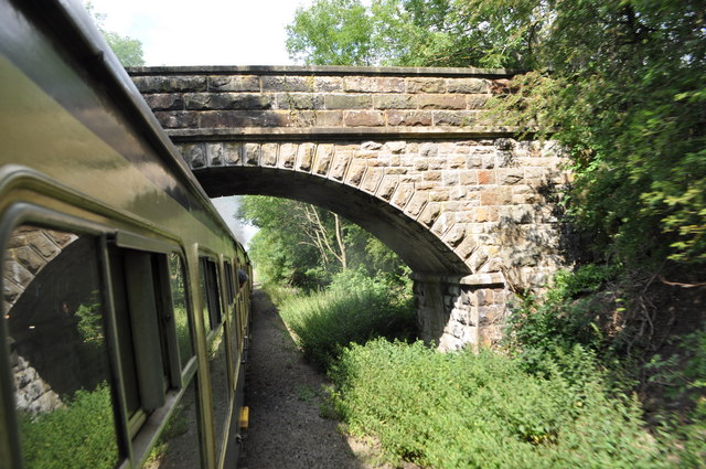
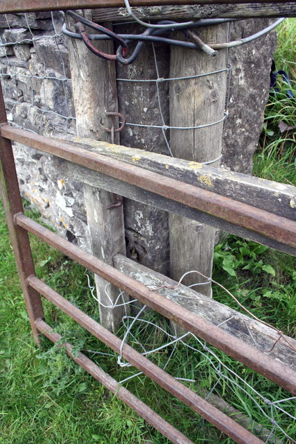
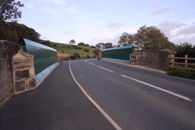
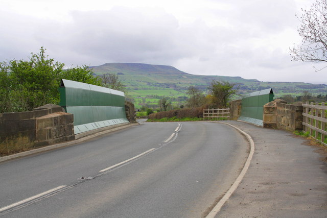
Princess Anne's Covert Images
Images are sourced within 2km of 54.306649/-1.8706103 or Grid Reference SE0890. Thanks to Geograph Open Source API. All images are credited.


Princess Anne's Covert is located at Grid Ref: SE0890 (Lat: 54.306649, Lng: -1.8706103)
Division: North Riding
Administrative County: North Yorkshire
District: Richmondshire
Police Authority: North Yorkshire
What 3 Words
///headrest.generated.dorm. Near Leyburn, North Yorkshire
Nearby Locations
Related Wikis
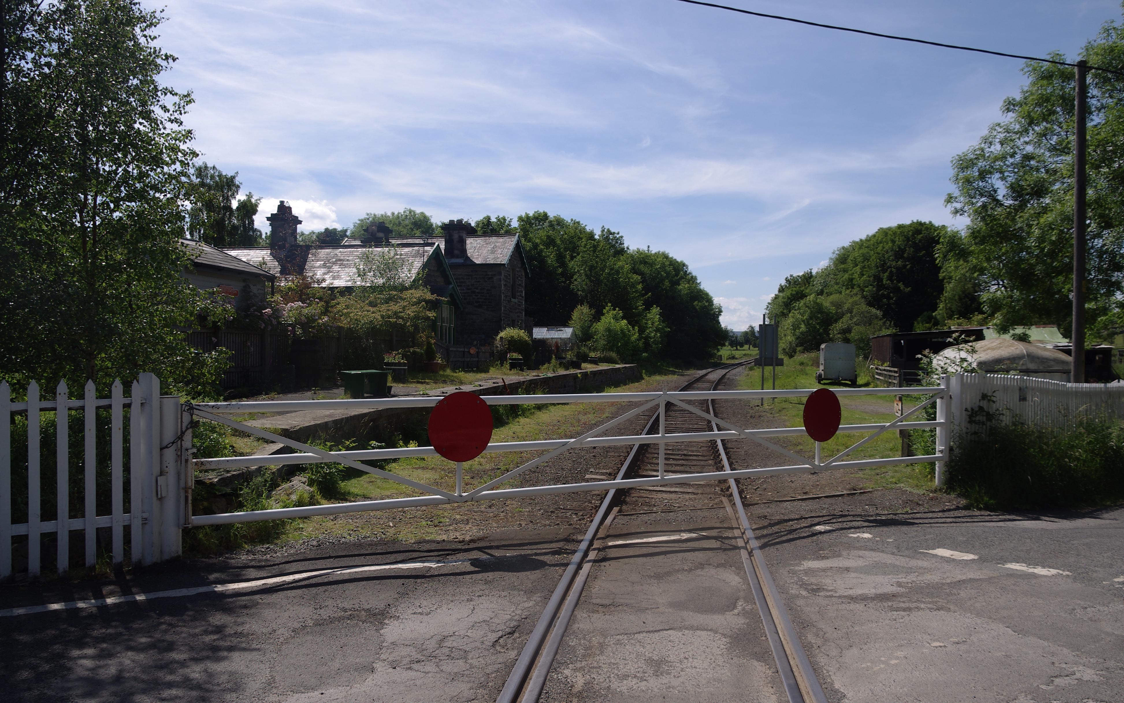
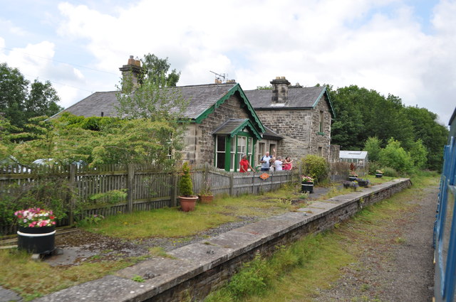
Wensley railway station
Wensley railway station is a disused railway station on the Wensleydale Railway, in North Yorkshire, England. It was opened by the North Eastern Railway...
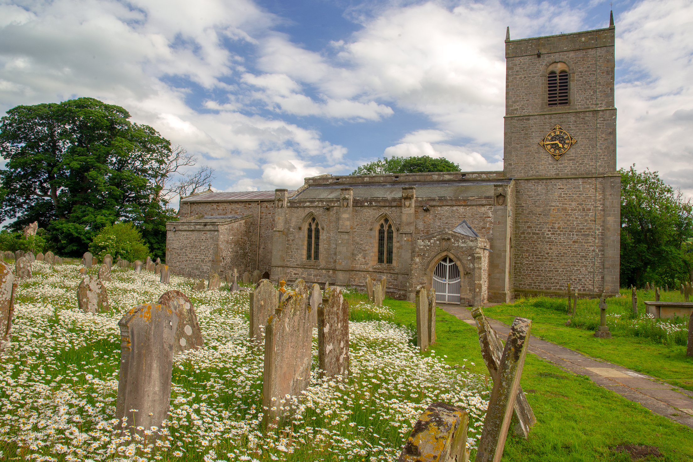
Holy Trinity Church, Wensley
Holy Trinity Church is a redundant Anglican church on Low Lane in the village of Wensley, North Yorkshire, England. The building is recorded in the National...
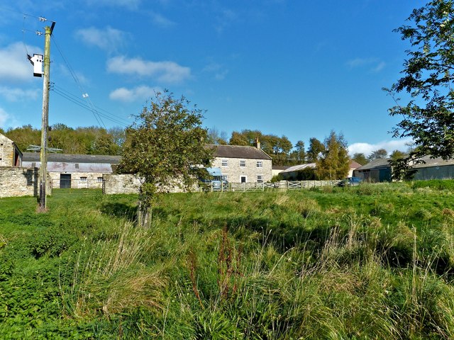
Wensley, North Yorkshire
Wensley is a small village and civil parish in North Yorkshire, England. It consists of a few homes and holiday cottage, an inn, a pub and a historic church...
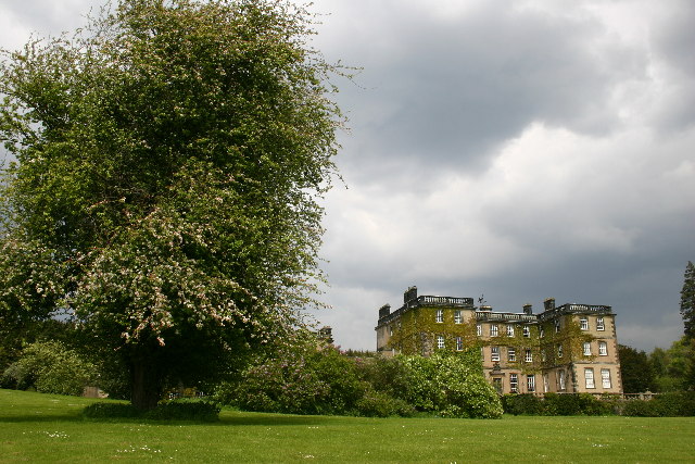
Bolton Hall, North Yorkshire
Bolton Hall is a country house near Preston-under-Scar, Richmondshire, North Yorkshire, England, in Wensleydale, some 3 miles (5 km) west of Leyburn. It...
Nearby Amenities
Located within 500m of 54.306649,-1.8706103Have you been to Princess Anne's Covert?
Leave your review of Princess Anne's Covert below (or comments, questions and feedback).