Brick Garth Plantation
Wood, Forest in Yorkshire Richmondshire
England
Brick Garth Plantation

Brick Garth Plantation is a picturesque woodland located in Yorkshire, England. Situated in the heart of the county, this plantation covers a vast area of land, offering a serene and tranquil environment for nature enthusiasts and visitors alike.
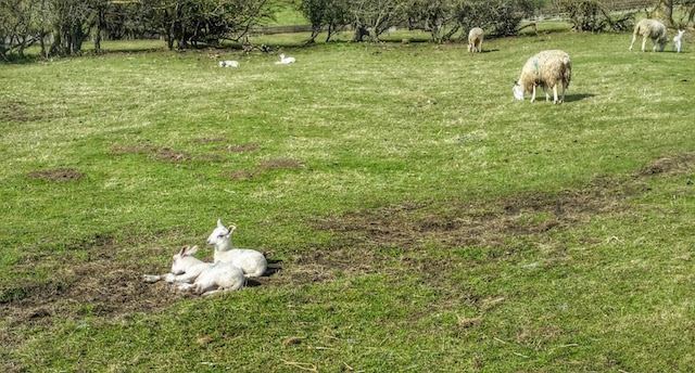
The woodland is predominantly composed of various species of trees, including oak, birch, and pine. These trees create a dense canopy, providing shade and shelter for a wide range of wildlife. The plantation is a haven for many bird species, with regular sightings of woodpeckers, owls, and songbirds. Additionally, the woodland is home to small mammals such as squirrels and rabbits, adding to the diversity of the ecosystem.
Visitors to Brick Garth Plantation can enjoy a number of recreational activities. There are well-maintained walking trails that meander through the woodland, allowing visitors to explore the beauty of the area at their own pace. The trails offer stunning views of the surrounding countryside and provide opportunities for birdwatching and photography.
Moreover, the plantation has picnic areas and benches, providing perfect spots for families and friends to relax and enjoy a meal amidst the serene surroundings. The plantation is also popular for educational visits, as it offers an ideal setting for school trips and nature study.
Brick Garth Plantation is open to the public year-round, and its charm changes with the seasons. Spring brings vibrant blooms, while autumn showcases the stunning colors of the foliage. Overall, this woodland is a hidden gem in Yorkshire, offering a peaceful retreat for visitors seeking a connection with nature.
If you have any feedback on the listing, please let us know in the comments section below.
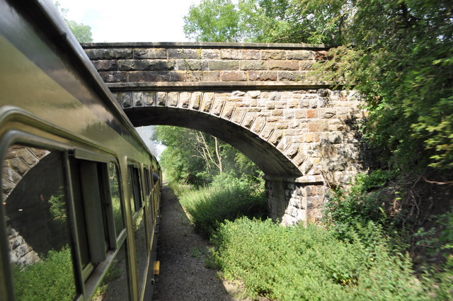
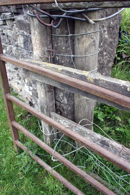
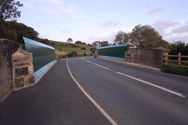
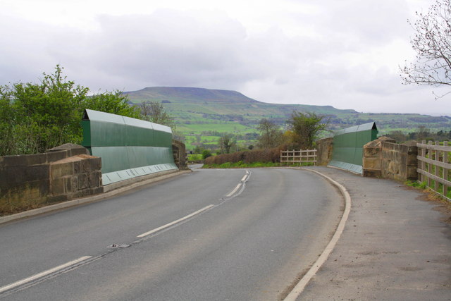
Brick Garth Plantation Images
Images are sourced within 2km of 54.309868/-1.8635764 or Grid Reference SE0890. Thanks to Geograph Open Source API. All images are credited.


Brick Garth Plantation is located at Grid Ref: SE0890 (Lat: 54.309868, Lng: -1.8635764)
Division: North Riding
Administrative County: North Yorkshire
District: Richmondshire
Police Authority: North Yorkshire
What 3 Words
///able.width.ranged. Near Leyburn, North Yorkshire
Nearby Locations
Related Wikis
Wensley, North Yorkshire
Wensley is a small village and civil parish in North Yorkshire, England. It consists of a few homes and holiday cottage, an inn, a pub and a historic church...
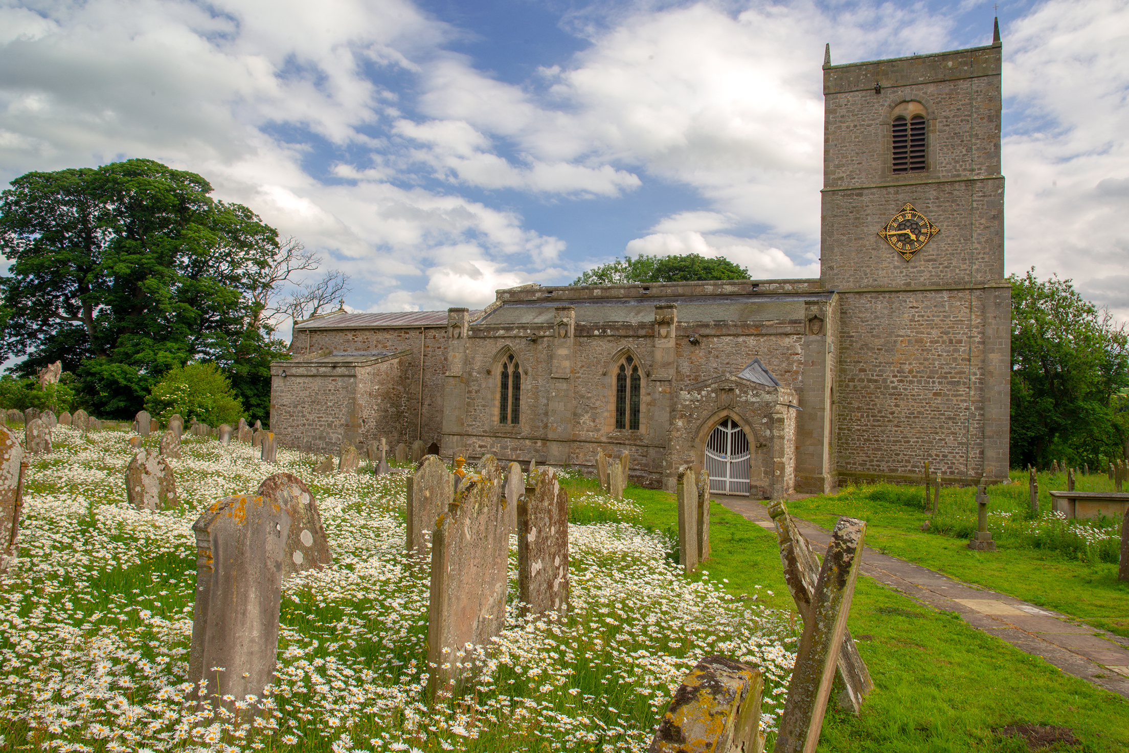
Holy Trinity Church, Wensley
Holy Trinity Church is a redundant Anglican church on Low Lane in the village of Wensley, North Yorkshire, England. The building is recorded in the National...
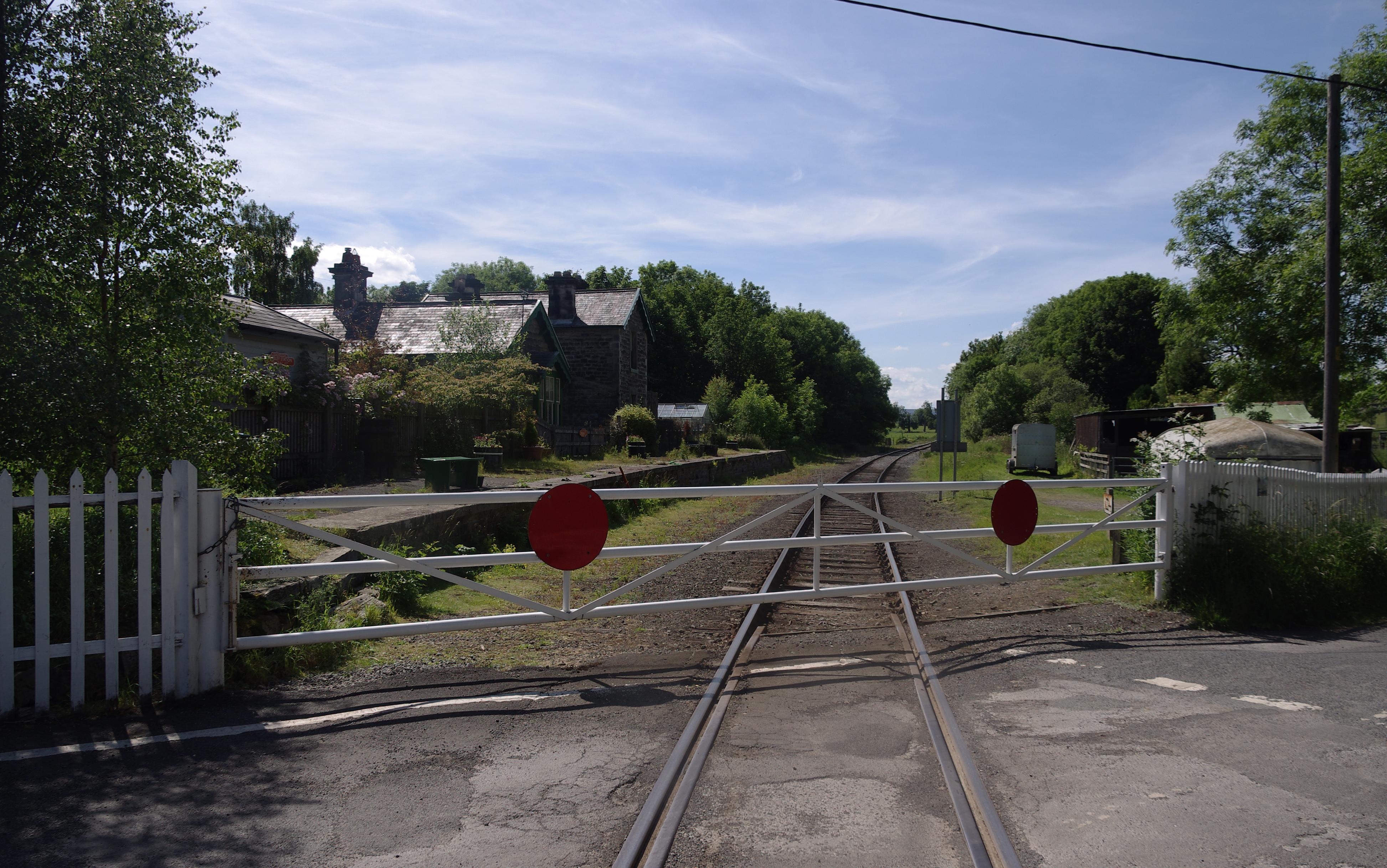
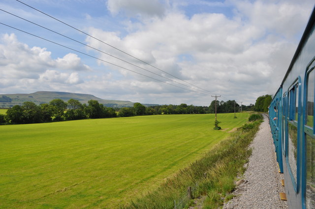
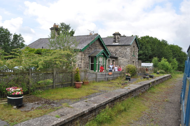
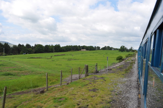
Wensley railway station
Wensley railway station is a disused railway station on the Wensleydale Railway, in North Yorkshire, England. It was opened by the North Eastern Railway...

Leyburn Old Glebe
Leyburn Old Glebe Nature Reserve is a nature reserve and Site of Special Scientific Interest (SSSI) managed by the Yorkshire Wildlife Trust. It is about...
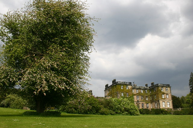
Bolton Hall, North Yorkshire
Bolton Hall is a country house near Preston-under-Scar, Richmondshire, North Yorkshire, England, in Wensleydale, some 3 miles (5 km) west of Leyburn. It...
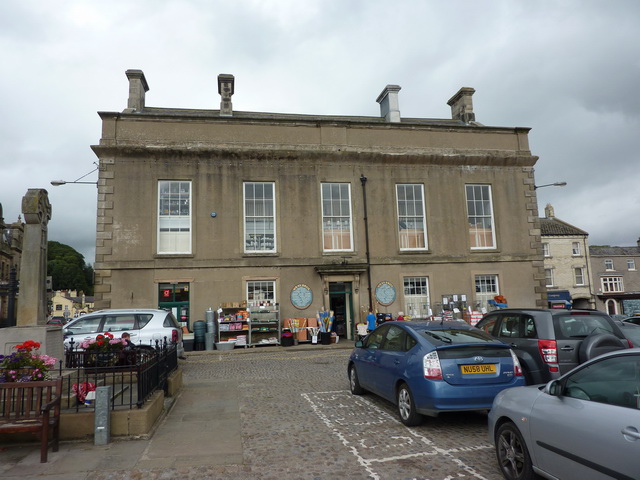
Leyburn Town Hall
Leyburn Town Hall is a municipal building in the Market Place, Leyburn, North Yorkshire, England. The structure, which is used for retail purposes and...
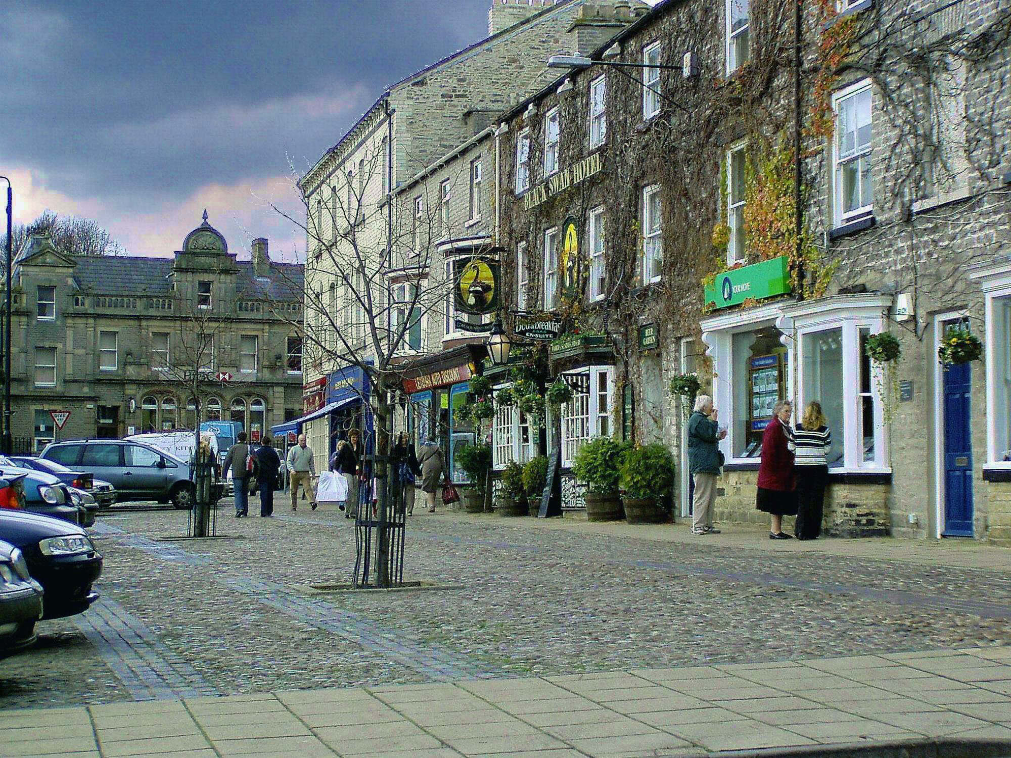
Leyburn
Leyburn is a market town and civil parish in North Yorkshire, England, sitting above the northern bank of the River Ure in Wensleydale. Historically in...
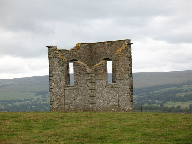
The Mount, North Yorkshire
The Mount, or Polly Peachum's Tower, is a hunting tower near Wensley and about a mile south-east of Bolton Hall, in North Yorkshire, England. It is a Grade...
Nearby Amenities
Located within 500m of 54.309868,-1.8635764Have you been to Brick Garth Plantation?
Leave your review of Brick Garth Plantation below (or comments, questions and feedback).