Hartfordbridge

Settlement in Hampshire Hart

England

Hartfordbridge

The A30, Hartfordbridge A fairly regular stopping point if you click this spot on my map.
The A30, Hartfordbridge Credit: David Howard

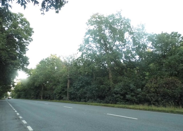
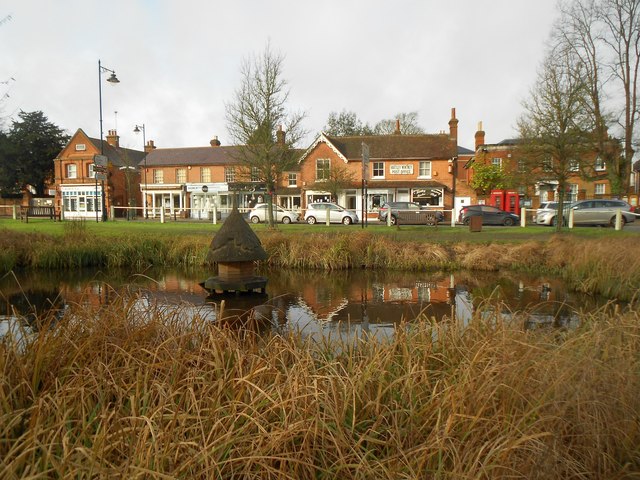
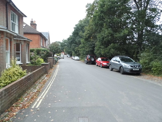
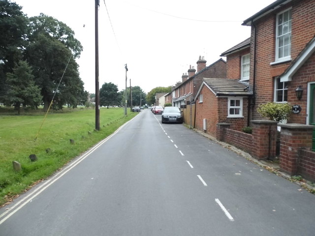
Hartfordbridge is a charming village located in the county of Hampshire, England. Situated approximately 3 miles northeast of the town of Hartley Wintney, Hartfordbridge is nestled in the picturesque Hampshire countryside. The village is surrounded by rolling hills, lush green fields, and tranquil woodlands, offering residents and visitors a peaceful and idyllic setting.

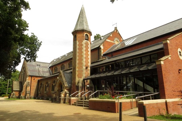
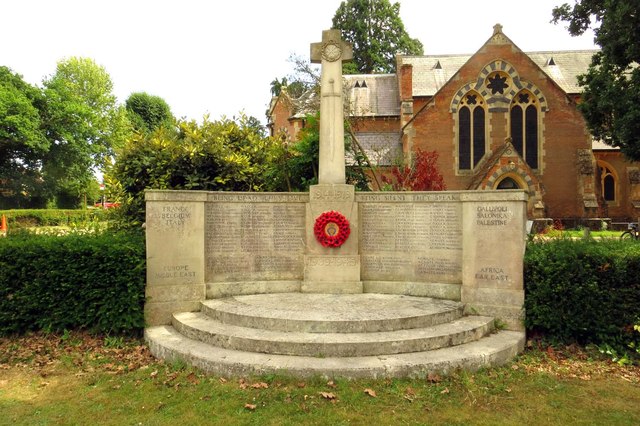
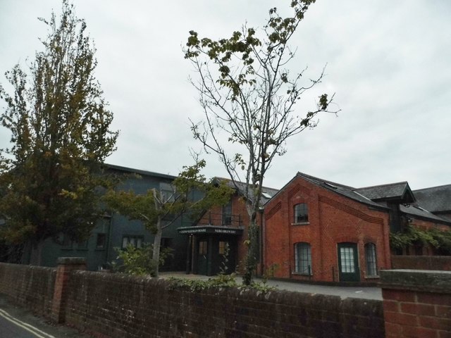
Hartfordbridge is known for its rich history, with evidence of human settlement dating back to the Bronze Age. The village has retained much of its traditional charm, with a collection of beautiful thatched-roof cottages and historic buildings that line its quaint streets. The centerpiece of the village is the St. Mary's Church, a stunning medieval parish church that has stood for centuries.

Despite its small size, Hartfordbridge offers a range of amenities to cater to the needs of its community. The village is home to a local pub, The Hartfordbridge Tavern, which serves delicious food and beverages in a cozy and welcoming atmosphere. Additionally, there are several small businesses and shops that provide essential goods and services to residents.

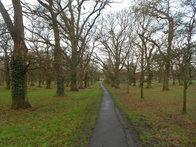
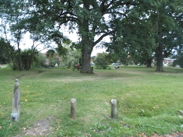
The surrounding countryside of Hartfordbridge offers ample opportunities for outdoor activities and exploration. The village is surrounded by numerous walking and cycling trails, allowing visitors to immerse themselves in the natural beauty of the area. Nearby attractions include the Wellington Country Park, a large country park with lakes, woodlands, and adventure playgrounds, and the Basingstoke Canal, where visitors can enjoy boat trips and scenic walks along the water's edge.

Overall, Hartfordbridge is a charming village that offers a peaceful retreat from the hustle and bustle of city life. With its historic buildings, beautiful countryside, and welcoming community, it is a destination that appeals to those seeking a slower pace of life and a connection to nature.

If you have any feedback on the listing, please let us know in the comments section below.

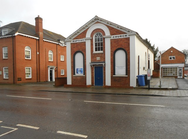
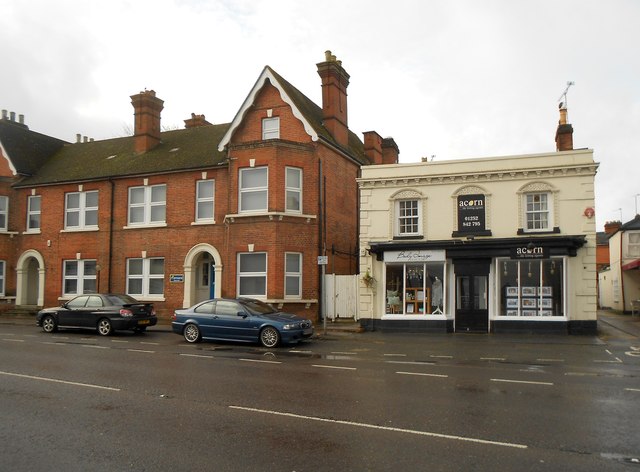
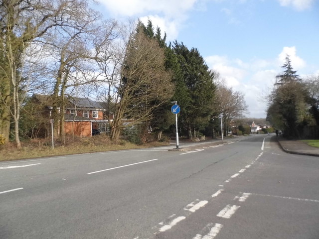
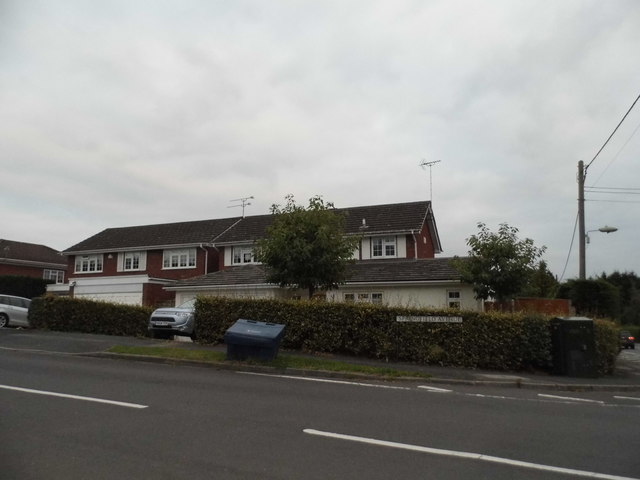
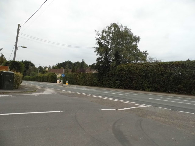
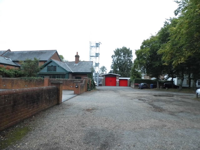
Hartfordbridge Images

Images are sourced within 2km of 51.314357/-0.890404 or Grid Reference SU7757. Thanks to Geograph Open Source API. All images are credited.

The A30, Hartfordbridge A fairly regular stopping point if you click this spot on my map.
The A30, Hartfordbridge
A fairly regular stopping point if you click this spot on my map.
The Parish Church of St John the Evangelist
The War Memorial in Hartley Wintney
Hartley Wintney: The Common The Common is characterized by multiple lines of planted trees, while this path leads up from the main road in the distance to the church behind the photographer.
Hartley Wintney: The Common
The Common is characterized by multiple lines of planted trees, while this path leads up from the main road in the distance to the church behind the photographer.
Hartley Wintney: The pond and the Old Post Office The pair of K6 telephone kiosks to the right are Grade II Listed.
Hartley Wintney: The pond and the Old Post Office
The pair of K6 telephone kiosks to the right are Grade II Listed.
Hartley Wintney: The Baptist Church The church dates from 1807 and is a Grade II Listed Building. The English Heritage website describes it thus:-

"Plain rectangular building with slate roof, painted brick walls at the long sides containing 2 round-headed windows. Symmetrical front with pediment gables having a cornice on coupled brackets, 4 pilasters with moulded caps, the central 2 joined by an arched architrave above on upper window. At ground floor a central window flanked by 2 recessed arched frames. Set back on the east side is a plain porch with a fanlight above double doors."
Hartley Wintney: The Baptist Church
The church dates from 1807 and is a Grade II Listed Building. The English Heritage website describes it thus:- "Plain rectangular building with slate roof, painted brick walls at the long sides containing 2 round-headed windows. Symmetrical front with pediment gables having a cornice on coupled brackets, 4 pilasters with moulded caps, the central 2 joined by an arched architrave above on upper window. At ground floor a central window flanked by 2 recessed arched frames. Set back on the east side is a plain porch with a fanlight above double doors."
Hartley Wintney: Offices of getmapping Virginia Villas, on the High Street, the building to the left, is the address of the offices of getmapping <span class="nowrap"><a title="http://www.getmapping.com/" rel="nofollow ugc noopener" href="http://www.getmapping.com/">Link</a><img style="margin-left:2px;" alt="External link" title="External link - shift click to open in new window" src="https://s1.geograph.org.uk/img/external.png" width="10" height="10"/></span> The smaller building on the right looks as if it ought to merit Grade II Listing, but evidently does not.
Hartley Wintney: Offices of getmapping
Virginia Villas, on the High Street, the building to the left, is the address of the offices of getmapping LinkExternal link The smaller building on the right looks as if it ought to merit Grade II Listing, but evidently does not.
Bracknell Lane, Hartley Wintney
Bracknell Lane, Hazeley Heath
Springfield Avenue, Hartley Wintney
Springfield Avenue at the junction of Bracknell Lane
Hartley Wintney Fire Station
Nero Brewery, Hartley Wintney
Park Corner Road, Hartley Wintney As you can see, it's at the corner of the park
Park Corner Road, Hartley Wintney
As you can see, it's at the corner of the park
Oakland Terrace, Hartley Wintney
Hartley Wintney Green
Junction on the B3011, Hazeley Heath
Show me another place!

Hartfordbridge is located at Grid Ref: SU7757 (Lat: 51.314357, Lng: -0.890404)

Administrative County: Hampshire

District: Hart

Police Authority: Hampshire

What 3 Words

///falters.slim.cadet. Near Hartley Wintney, Hampshire

Related Wikis

Hartfordbridge

Hartfordbridge is a small village in the Hart District of Hampshire, England. The village sits on the A30 road and is 2 miles (2.5 km) from Hartley Wintney...
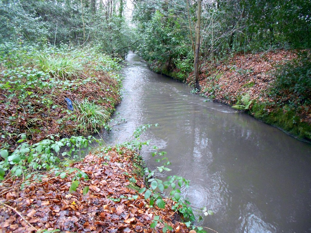
Fleet Brook

Fleet Brook is a small river in northern Hampshire, England and tributary of the River Hart. == Route == The source is somewhere near the town of Fleet...

1957 Blackbushe Viking accident

The 1957 Blackbushe Viking accident occurred on 1 May 1957 when an Eagle Aviation twin-engined Vickers VC.1 Viking 1B registered G-AJBO named "John Benbow...

Hartley Wintney

Hartley Wintney is a large village and civil parish in the Hart district of Hampshire, England. It lies about 3 miles (5 km) northwest of Fleet and 8 miles...

Elvetham air crash

The Elvetham air crash occurred on 5 October 1945 when a Consolidated Liberator GR.VI aircraft, serial number KG867, of 311 Squadron Royal Air Force crashed...
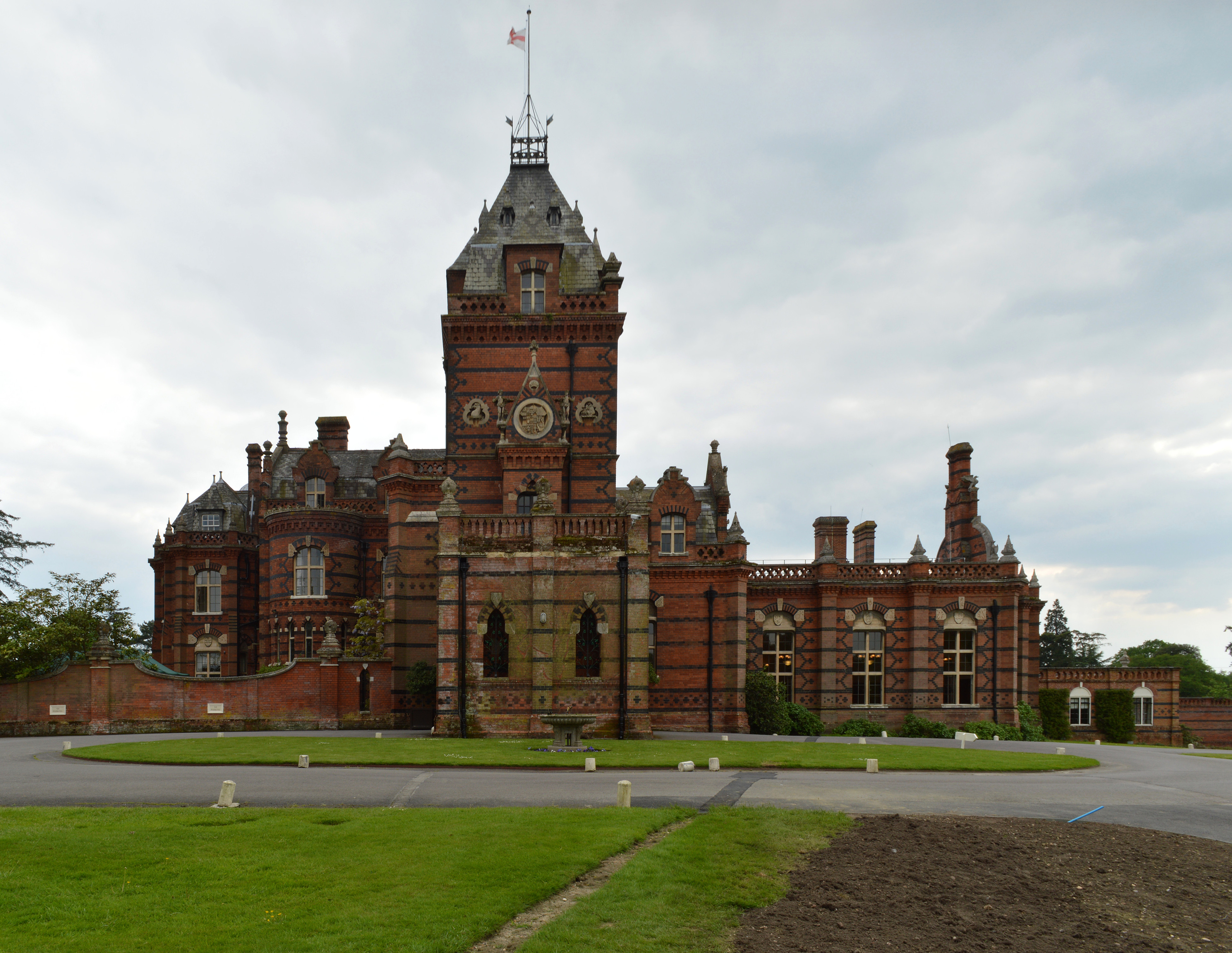
Elvetham Hall

Elvetham Hall is a hotel in Hampshire, England, in the parish of Hartley Wintney about 2 miles (3 km) northwest of Fleet. The building is a High Victorian...

Hartley Wintney F.C.

Hartley Wintney Football Club is a semi-professional football club based in the village of Hartley Wintney, Hampshire, England. They are currently members...
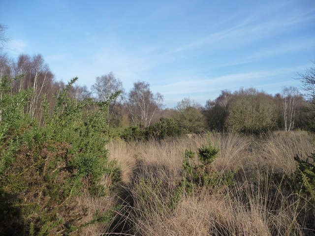
Hazeley Heath

Hazeley Heath is a 180.8-hectare (447-acre) biological Site of Special Scientific Interest west of Farnborough in Hampshire. It is part of Thames Basin...

Nearby Amenities

Located within 500m of 51.314357,-0.890404
Bus Stop
Hartfordbridge
Naptan AtcoCode: 1900HAA10062
Naptan Bearing: N
Naptan CommonName: Hartfordbridge
Naptan Crossing: Hulfords Lane
Naptan NaptanCode: hamjmgmt
Naptan Street: A30 London Road
Naptan Verified: no
Source: naptan_import
Lat/Long: 51.3150974/-0.8884153
Bus Stop
Hartfordbridge
Naptan AtcoCode: 1900HAA10063
Naptan Bearing: N
Naptan CommonName: Hartfordbridge
Naptan Crossing: Elvetham Lane
Naptan NaptanCode: hamjmgmw
Naptan Street: A30 London Road
Naptan Verified: no
Source: naptan_import
Lat/Long: 51.3145963/-0.8886713
Power: tower
Source: bing
Lat/Long: 51.311733/-0.8864033
Power: tower
Source: bing
Lat/Long: 51.3143856/-0.8902141
Parking
Lat/Long: 51.3129522/-0.8916955
Hartfordbridge
Alt Name: Hartford Bridge
Place: hamlet
Source: NPE
Wikidata: Q976439
Lat/Long: 51.3159074/-0.8891269
Power: tower
Lat/Long: 51.3167882/-0.8939001
Barrier: block
Bicycle: yes
Foot: yes
Horse: yes
Motor Vehicle: no
Lat/Long: 51.3120294/-0.89653
Riverside Farm
Landuse: farm
Note Retag: CS #48756035
Source: OS-OpenData_StreetView
Lat/Long: 51.3155829/-0.8970327
Hares Farm
Landuse: farm
Note Retag: CS #48756035
Source: OS-OpenData_StreetView
Lat/Long: 51.3132978/-0.8965579
Warren Hill Farm
Landuse: farm
Note Retag: CS #48756035
Source: OS-OpenData_StreetView
Lat/Long: 51.3177588/-0.8926285
Atm
Lat/Long: 51.3123438/-0.8840447
Defibrillator
Defibrillator Location: Front of building
Emergency: defibrillator
Indoor: no
Lat/Long: 51.3132449/-0.8961718
Post Box
Operator: Royal Mail
Post Box Type: lamp
Ref: RG27 126D
Royal Cypher: EIIR
Royal Cypher Wikidata: Q33102113
Lat/Long: 51.3152577/-0.8891147
The data included in this document is from www.openstreetmap.org. The data is made available under ODbL.

Have you been to Hartfordbridge?

Leave your review of Hartfordbridge below (or comments, questions and feedback).