Y Bala
Settlement in Merionethshire
Wales
Y Bala
The requested URL returned error: 429 Too Many Requests
If you have any feedback on the listing, please let us know in the comments section below.
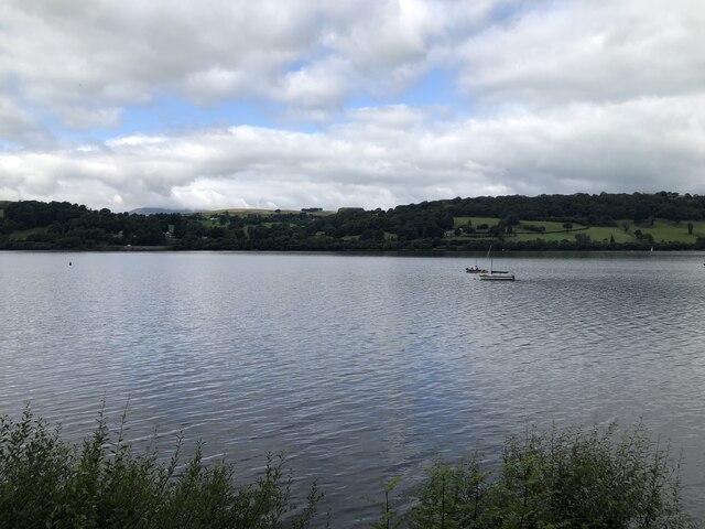
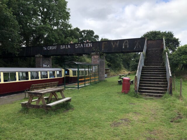
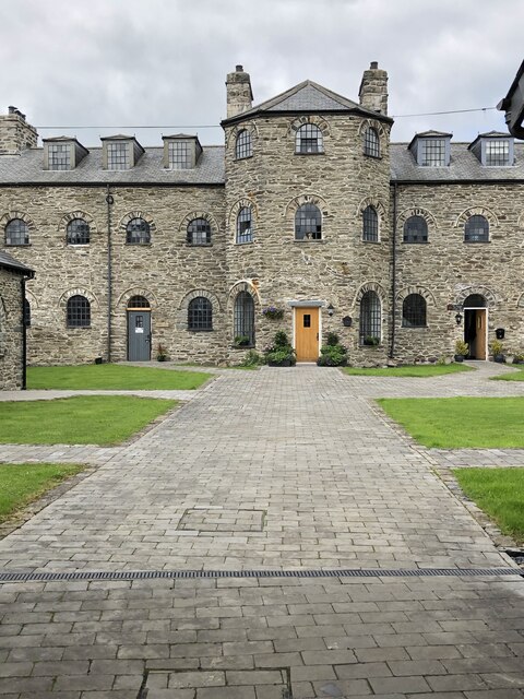
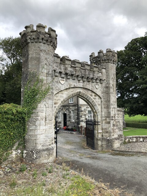
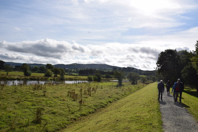
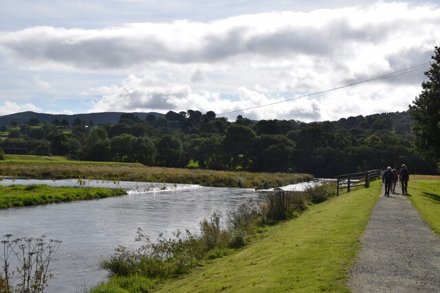
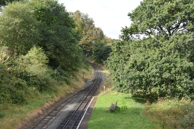
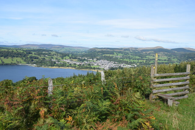
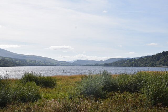
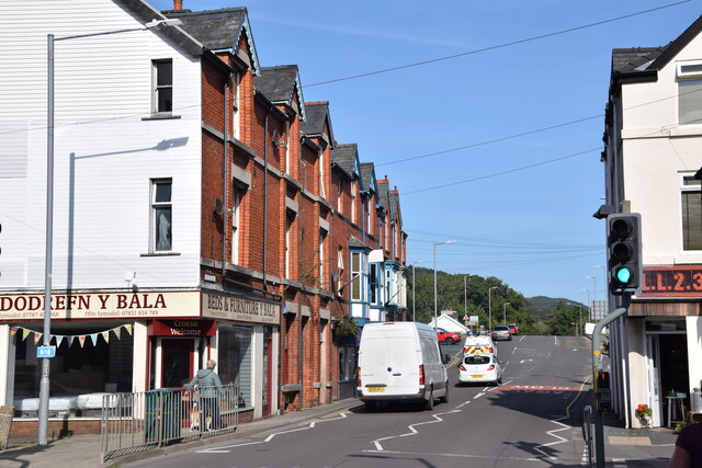
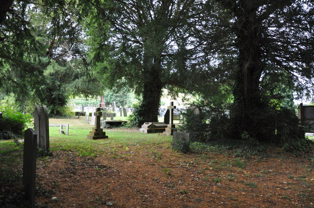
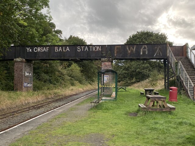
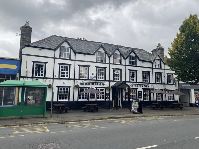
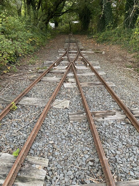
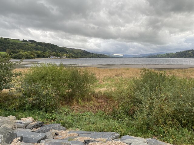
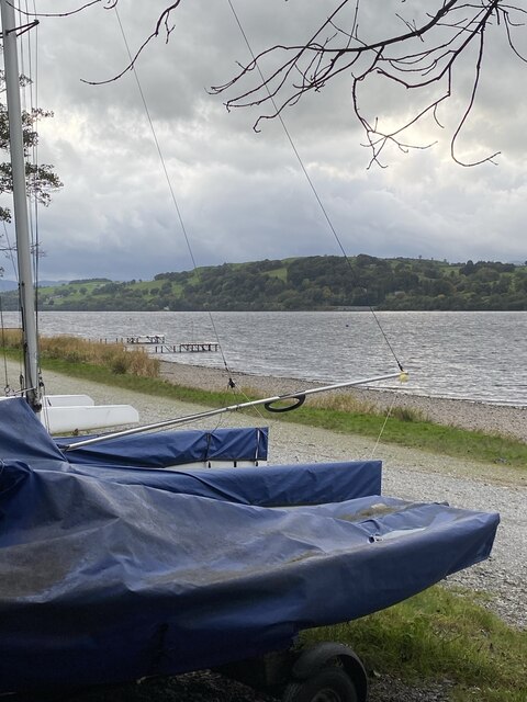
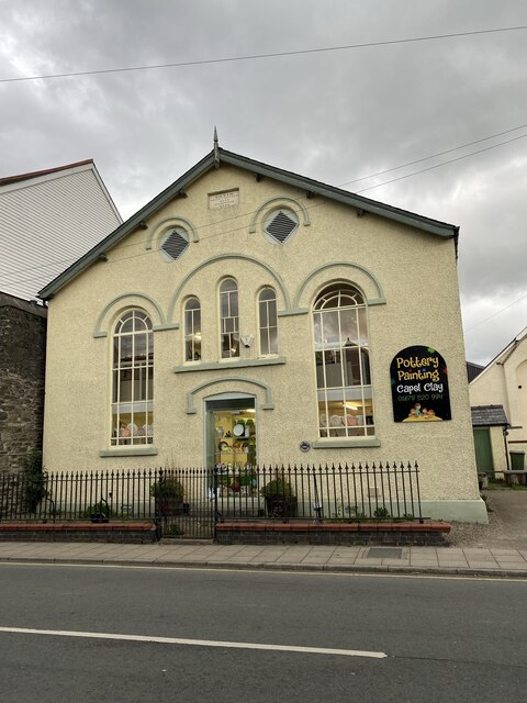
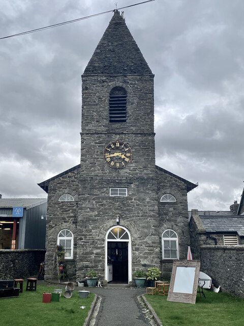
Y Bala Images
Images are sourced within 2km of 52.910414/-3.5986186 or Grid Reference SH9235. Thanks to Geograph Open Source API. All images are credited.
Y Bala is located at Grid Ref: SH9235 (Lat: 52.910414, Lng: -3.5986186)
Unitary Authority: Gwynedd
Police Authority: North Wales
Also known as: Bala
What 3 Words
///reverses.formation.minute. Near Bala, Gwynedd
Related Wikis

Bala Town Hall
Bala Town Hall (Welsh: Neuadd y Dref Y Bala), known in the late 19th century as the County Hall (Welsh: Neuadd y Sir Y Bala), is a municipal building in...

Bala, Gwynedd
Bala (Welsh: Y Bala) is a town and community in Gwynedd, Wales. Formerly an urban district, Bala lies in the historic county of Merionethshire, at the...

Christ Church, Bala
Christ Church, Bala, is in Bala, Gwynedd, Wales (grid reference SH926362). It is an active Anglican church in the deanery of Penllyn & Edeyrnion, the...

Ysgol y Berwyn
Ysgol y Berwyn is a high-school situated in the town of Bala, in Gwynedd, north Wales.According to the 2013 Estyn report, 79% of pupils are from Welsh...
Nearby Amenities
Located within 500m of 52.910414,-3.5986186Have you been to Y Bala?
Leave your review of Y Bala below (or comments, questions and feedback).