Bala
Settlement in Merionethshire
Wales
Bala
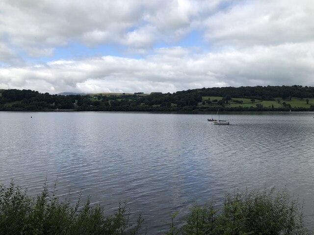
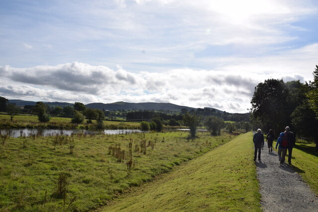
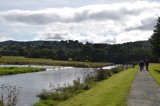
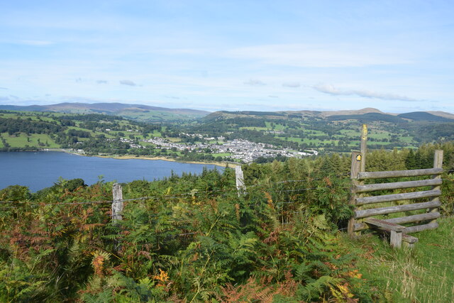
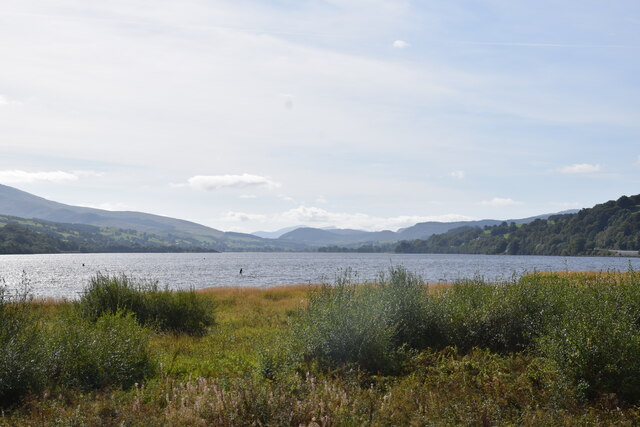
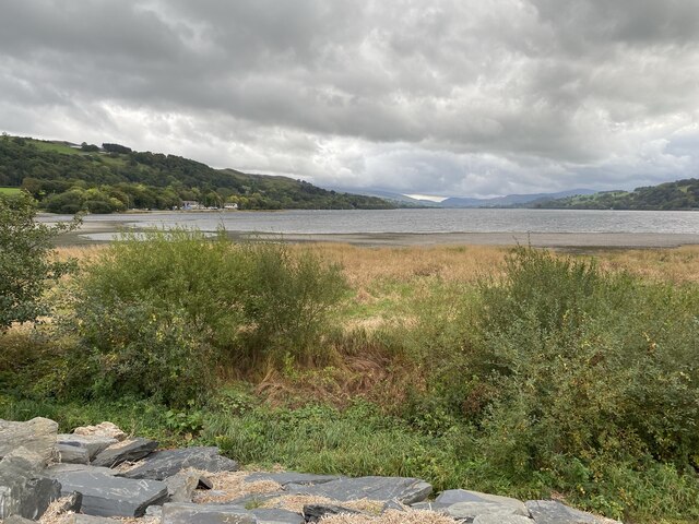
Bala is a small market town located in the county of Merionethshire, in northwestern Wales. Situated at the southeastern edge of Bala Lake, the largest natural lake in Wales, the town serves as a popular tourist destination and a hub for outdoor activities.
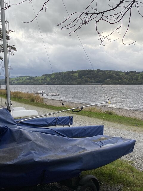
With a population of around 2,000 people, Bala is known for its picturesque setting amidst the rugged Snowdonia National Park. The town is surrounded by stunning mountains, including Aran Fawddwy and Arenig Fawr, attracting hikers, climbers, and nature enthusiasts. Bala Lake, also known as Llyn Tegid, provides opportunities for sailing, fishing, and water sports.
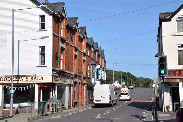
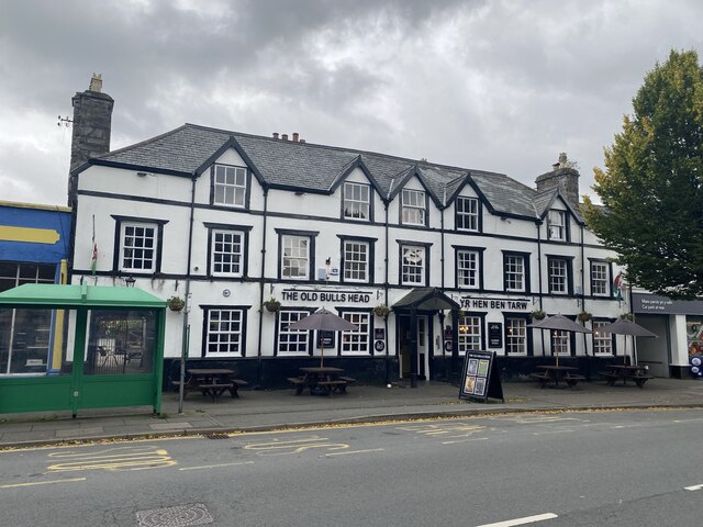
Bala has a rich history dating back to prehistoric times, with evidence of human activity discovered in the area. The town gained prominence during the medieval period as a market and administrative center. Today, it retains its market town character with a weekly livestock market and a range of independent shops, cafes, and restaurants.
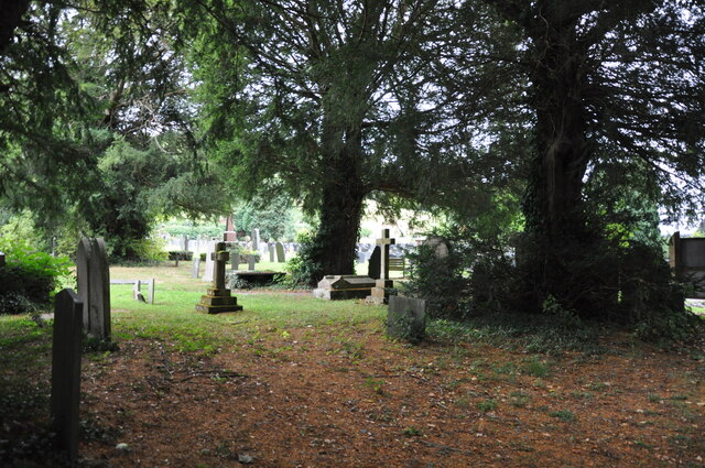
The town is also home to several historic landmarks, such as the 14th-century St. Mary's Church and the impressive Bala Castle, built in the 11th century. The National White Water Centre, located nearby, offers thrilling adventures like white-water rafting and kayaking.
Bala hosts various events throughout the year, including the Bala Lake Festival, which showcases local music, arts, and culture. The town's vibrant community, combined with its natural beauty, make it an attractive destination for both visitors and residents seeking a peaceful retreat or an active outdoor experience.
If you have any feedback on the listing, please let us know in the comments section below.
Bala Images
Images are sourced within 2km of 52.910414/-3.5986186 or Grid Reference SH9235. Thanks to Geograph Open Source API. All images are credited.
Bala is located at Grid Ref: SH9235 (Lat: 52.910414, Lng: -3.5986186)
Unitary Authority: Gwynedd
Police Authority: North Wales
Also known as: Y Bala
What 3 Words
///reverses.formation.minute. Near Bala, Gwynedd
Related Wikis

Bala Town Hall
Bala Town Hall (Welsh: Neuadd y Dref Y Bala), known in the late 19th century as the County Hall (Welsh: Neuadd y Sir Y Bala), is a municipal building in...

Bala, Gwynedd
Bala (Welsh: Y Bala) is a town and community in Gwynedd, Wales. Formerly an urban district, Bala lies in the historic county of Merionethshire, at the...

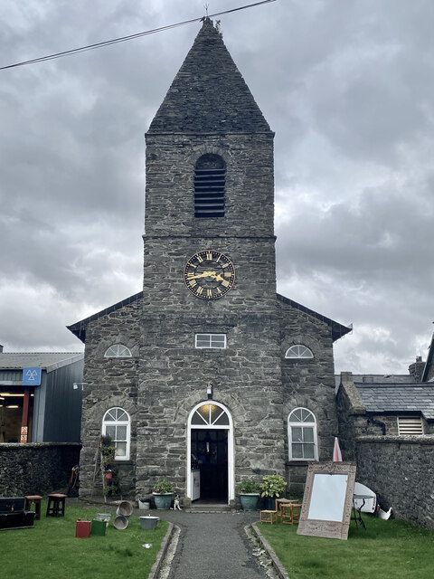
Christ Church, Bala
Christ Church, Bala, is in Bala, Gwynedd, Wales (grid reference SH926362). It is an active Anglican church in the deanery of Penllyn & Edeyrnion, the...

Ysgol y Berwyn
Ysgol y Berwyn is a high-school situated in the town of Bala, in Gwynedd, north Wales.According to the 2013 Estyn report, 79% of pupils are from Welsh...
Llanuwchllyn F.C.
Llanuwchllyn Football Club (Welsh: Clwb Pêl Droed Llanuwchllyn) is a Welsh football team based near Bala in Wales. They play in the Ardal Leagues North...
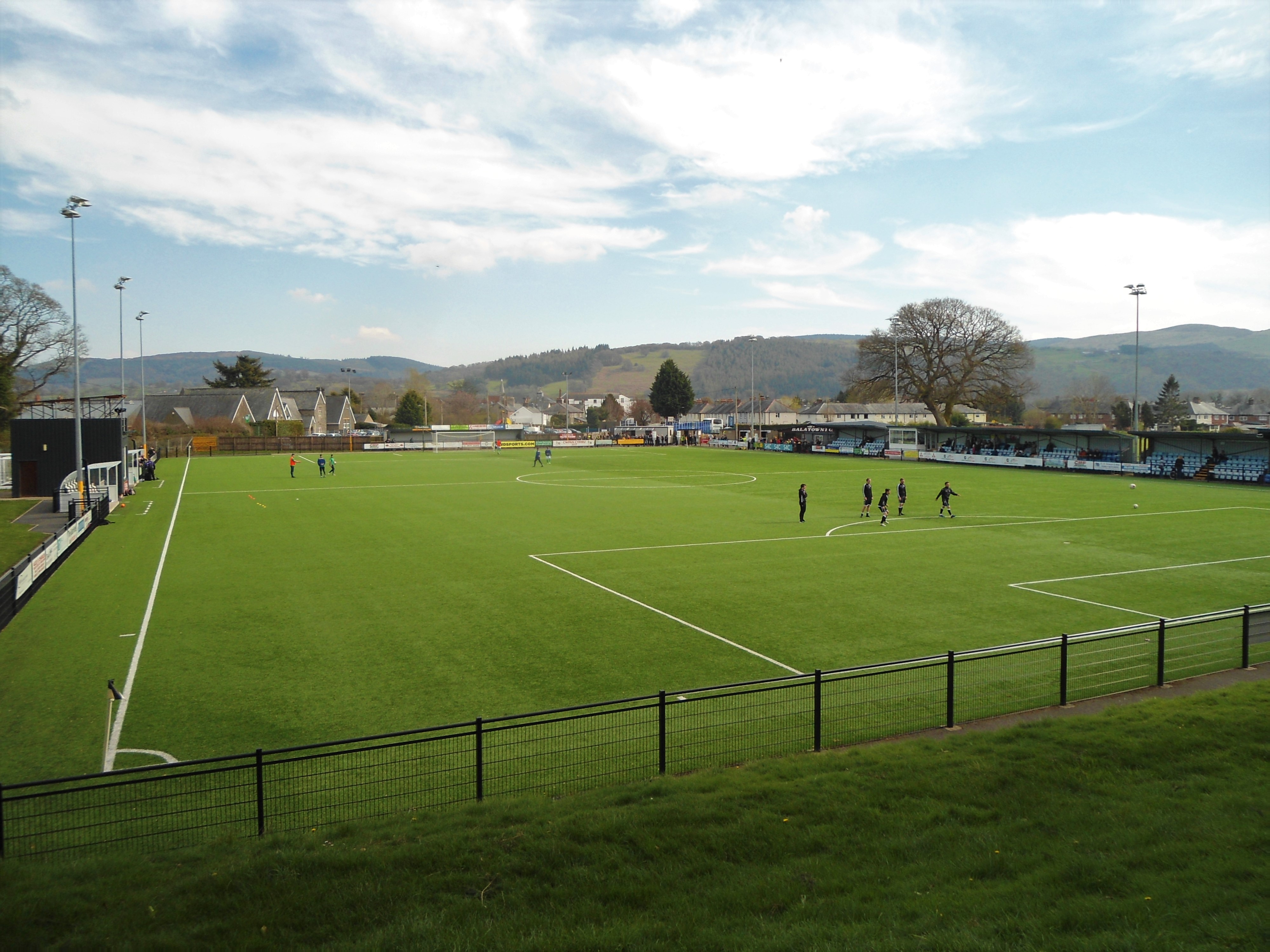
Maes Tegid
Maes Tegid (English: Tegid Field) is a community playing field in Bala, Wales. It is currently used mostly for football matches, and is the home ground...
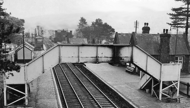
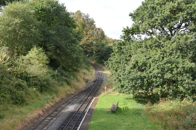
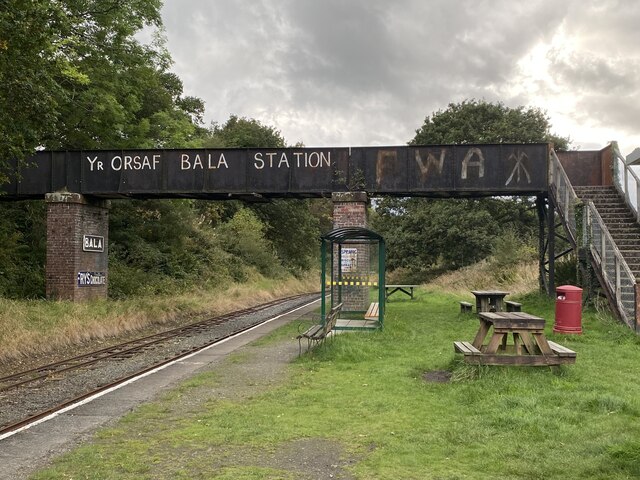
Bala (New) railway station
Bala railway station was on the Great Western Railway's Bala Ffestiniog Line in Wales. It replaced the first Bala station which was further away from the...
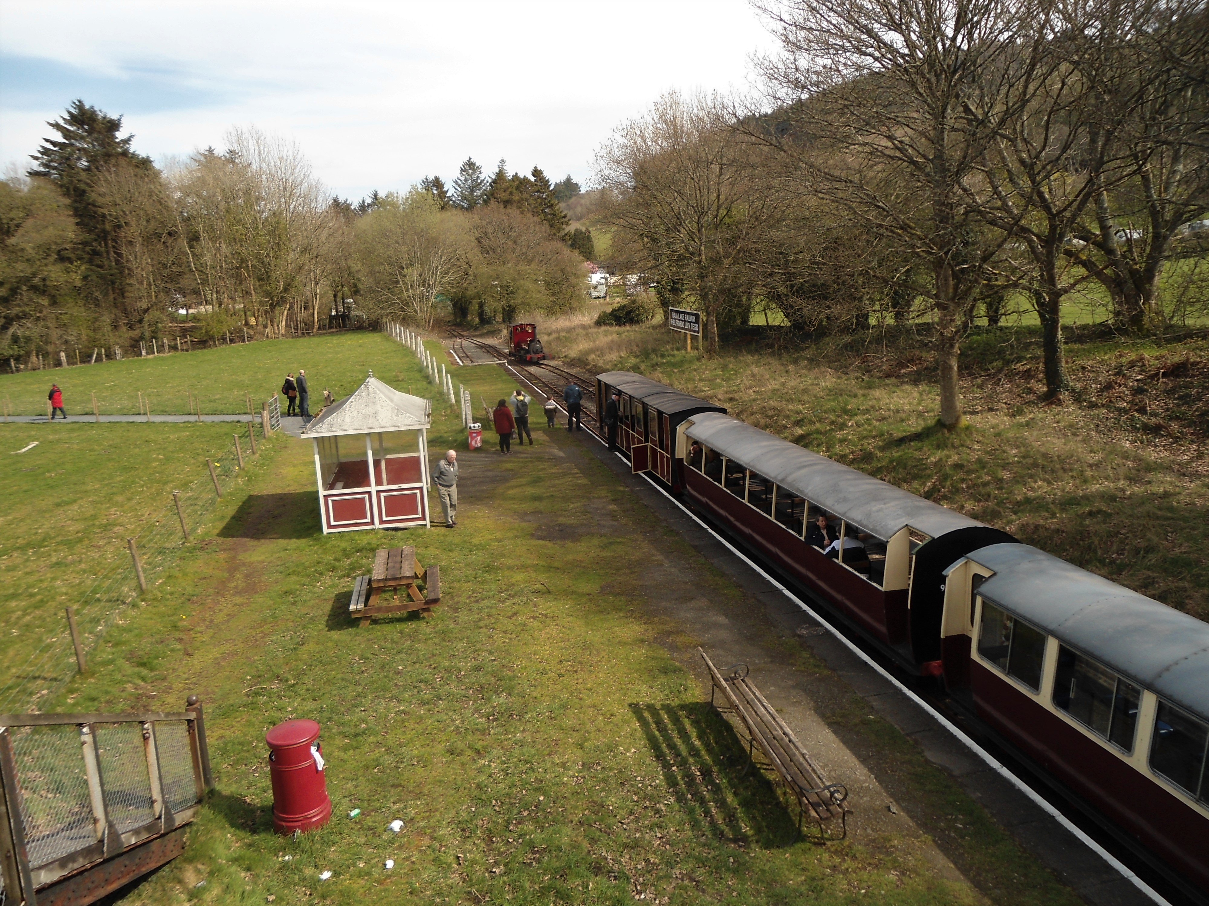
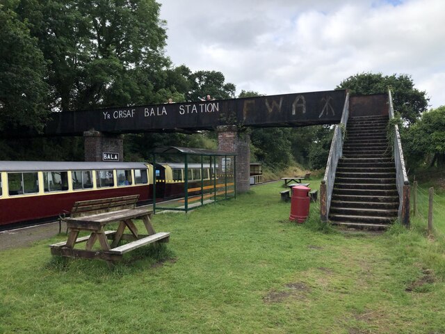
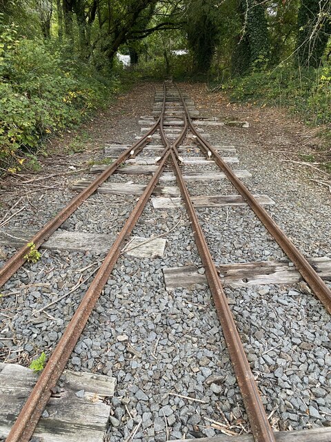
Bala (Penybont) railway station
Bala (Penybont) is the current terminus of the heritage Bala Lake Railway, in Gwynedd, Wales, since 1976. The site was formerly the location of the Bala...
Nearby Amenities
Located within 500m of 52.910414,-3.5986186Have you been to Bala?
Leave your review of Bala below (or comments, questions and feedback).